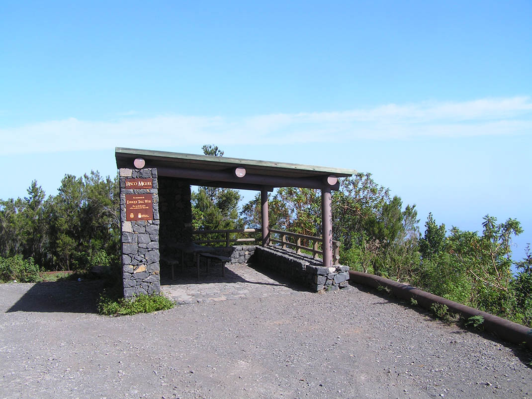
ePrivacy and GPDR Cookie Consent management by TermsFeed Privacy Policy and Consent Generator BC-1 Northern Forest Route

BC-1 Northern Forest Route

BC-1

North side of the island, from Monte de la Esperanza towards the north-east of Tenerife.

Incident Incident

Route partially closed - Works

Route temporarily closed - Works

Cierre parcial de la pista por conservación de pista forestal

Route partially closed - Works

Trabajos de conservación de pistas forestales

Route temporarily closed - Warnings (fire, wind, etc.)

Itinerario cerrado debido al incendio forestal del verano de 2023. Abierto desde el área recreativa La Caldera hasta la Choza de Pedro Gil.

Route partially closed - Warnings (fire, wind, etc.)

Itinerario cerrado debido al incendio forestal del verano de 2023

Route temporarily closed - Warnings (fire, wind, etc.)

Itinerario cerrado debido al incendio forestal del verano de 2023

Route temporarily closed - Warnings (fire, wind, etc.)

Itinerario cerrado debido al incendio forestal del verano de 2023. Abierto desde el área recreativa La Caldera hasta la Choza de Pedro Gil.

Route partially closed - Warnings (fire, wind, etc.)

Itinerario cerrado debido al incendio forestal del verano de 2023. Abierto desde el área recreativa La Caldera hasta la Choza de Pedro Gil.

Route partially closed - Warnings (fire, wind, etc.)

Itinerario cerrado debido al incendio forestal del verano de 2023

Route temporarily closed - Warnings (fire, wind, etc.)

Itinerario cerrado debido al incendio forestal del verano de 2023. Abierto desde el área recreativa La Caldera hasta la Choza de Pedro Gil.

Route partially closed - Warnings (fire, wind, etc.)

Itinerario cerrado debido al incendio forestal del verano de 2023. Abierto desde el área recreativa La Caldera hasta la Choza de Pedro Gil.

Route partially closed - Warnings (fire, wind, etc.)

Itinerario cerrado debido al incendio forestal del verano de 2023

Route partially closed - Warnings (fire, wind, etc.)

Itinerario cerrado debido al incendio forestal del verano de 2023. Abierto desde el área recreativa La Caldera hasta la Choza de Pedro Gil.

Route partially closed - Warnings (fire, wind, etc.)

Itinerario cerrado debido al incendio forestal del verano de 2023. Abierto desde el área recreativa La Caldera hasta la Choza de Pedro Gil.

Route partially closed - Recreational activities

Itinerario cerrado debido al incendio forestal del verano de 2023. Abierto desde el área recreativa La Caldera hasta la Choza de Pedro Gil.

Northern Forest route

Description

With more than 80km and 12 spur routes, the Great North Route is an unmissable experience for cyclists and horseriders. 

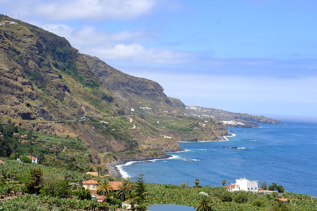
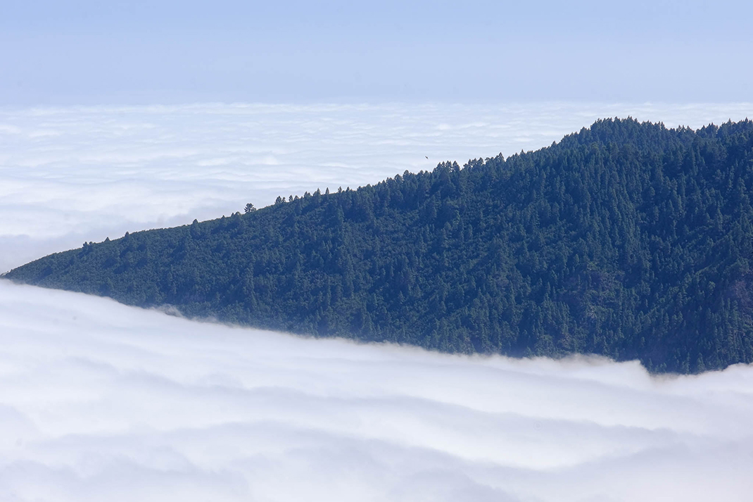
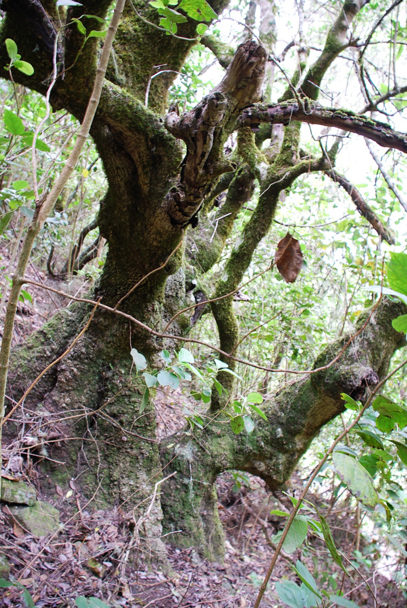
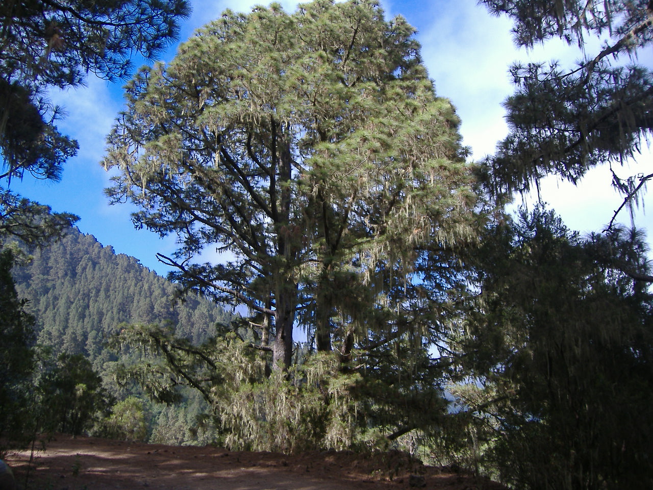
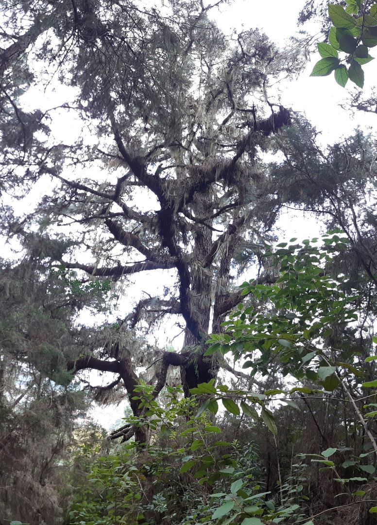
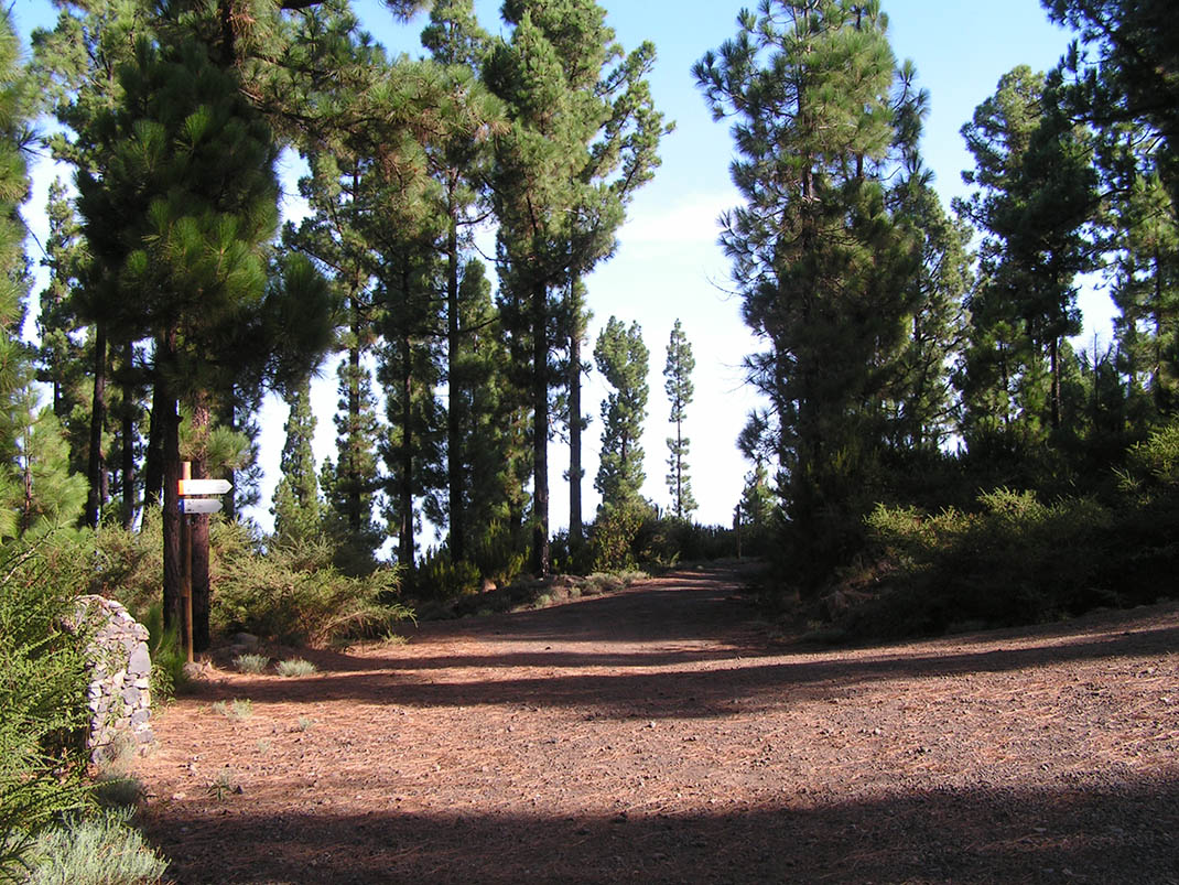
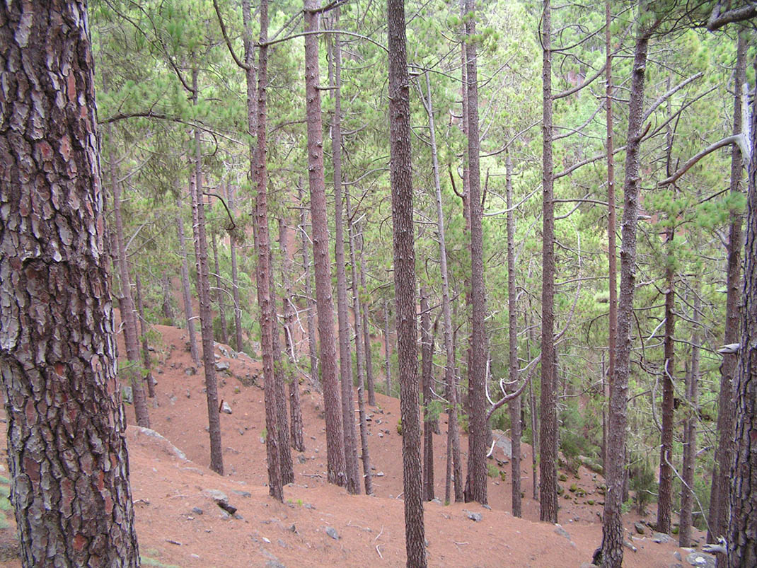
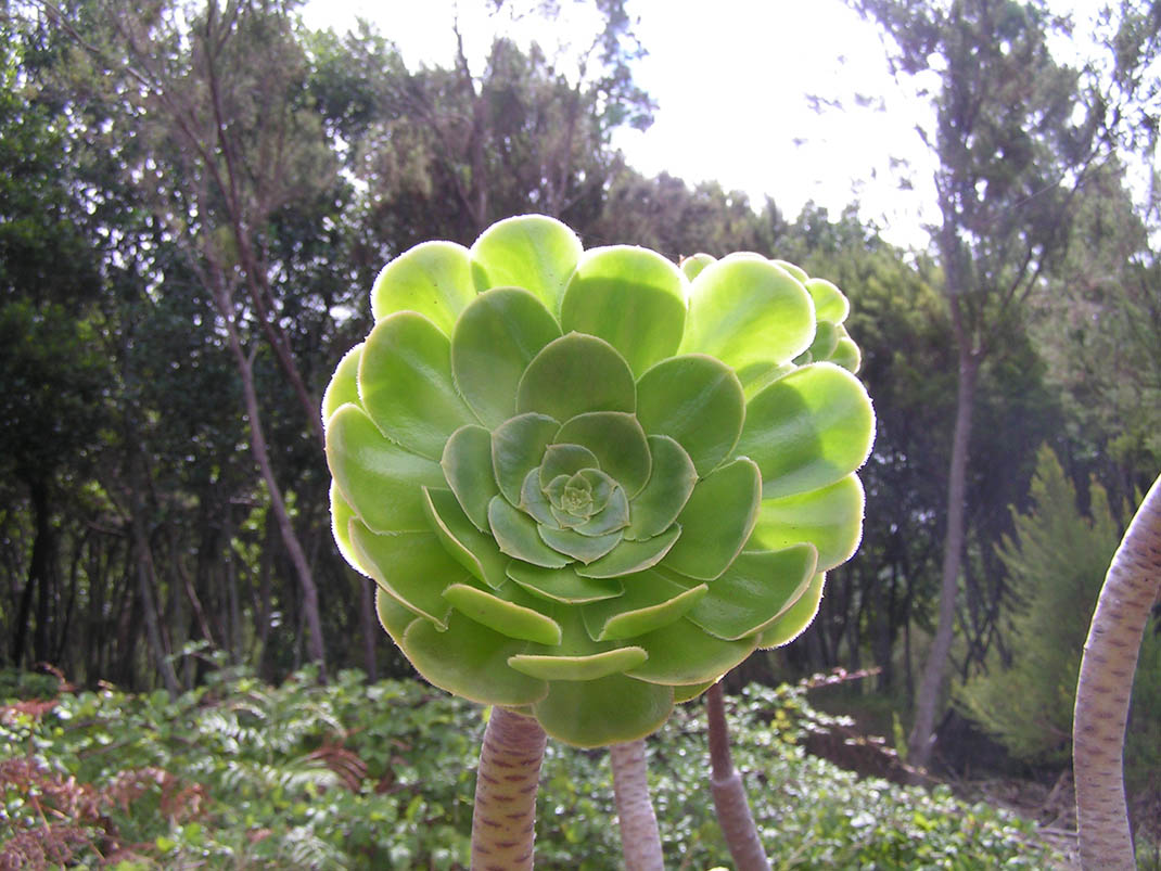
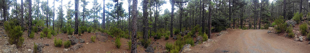
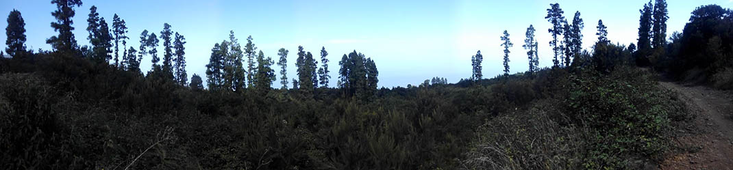
The route begins on the Acebiñal trail in la Esperanza, offering fabulous views of the north-east of the island, from the Anaga Massif to La Laguna. The route continues from east to west along the northern side of Tenerife, crossing through some of the island’s most iconic forest ecosystems, such as monteverde woodland, pine forests, and a combination of pine and monteverde undergrowth. 

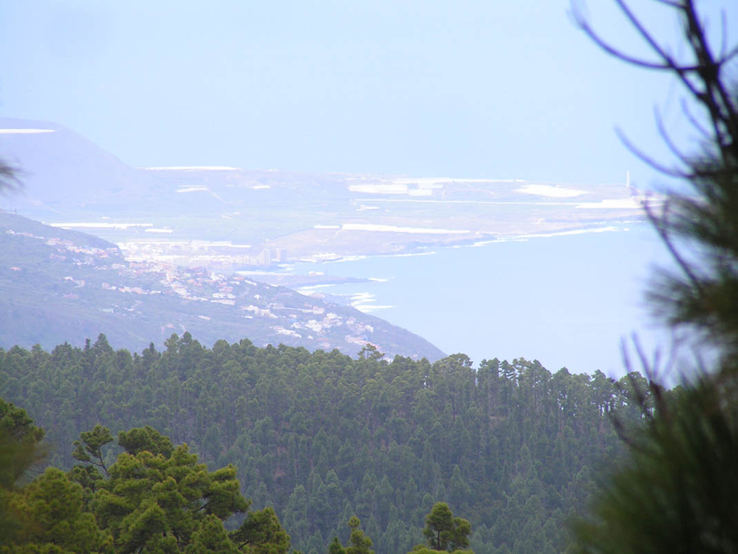
The landscape of the north coast with the Orotava Valley and the flanks of Mount Teide will be with you for most of the route, before ending in a mesmerising volcanic setting when you leave behind the Teno Massif and La Montañeta.

IBP Index: 120.

Tips

  • Always stay on the marked trail and do not enter private property, hunting grounds, water galleries, wells or caves.  
  • Be careful when walking along roads used by motor vehicles and hiking trails, and when crossing ravines with water courses.
  • Avoid direct encounters with potentially dangerous animals, such as livestock, beehives, and dogs. 
  • Proceed with caution and watch for obstacles, loose rocks, uneven terrain or steep slopes to avoid accidents and falls. 
  • Consult our good practice guide and, if necessary, contact emergency services by calling 112.
Recommendations and tips

Guides

No data available

Permits

  • Reservation obligatory for groups organised by for-profit and not-for-profit public and private entities and profit-making individuals. Link
  • T: 901 501 901 - 922 239 500.
  • Free access for all other users, alone or in a group, no reservation required.

Technical information sheet

Route information

Cycling and horse riding route

Tenerife ON

Linear

87,19 km

6 h 15 m

4.680,15 m

4.111,51 m

At an average speed of 14 km/h

  • Altitude gain:4.680,15 m

  • Altitude loss:4.111,51 m

  • Maximum altitude:1.678,68 m

  • Minimum altitude:980,78 m

Signage

Route code

BC-1

Orange posts and signs that include:

  • Official trail number.
  • Route direction.
  • Distance to points of interest.
  • Cyclist and horserider icons. 
Signage

Route map and profile

Elevation profile

  • Maximum altitude:1.678,68 m

  • Minimum altitude:980,78 m

Connections with other routes

  • /
  • /
  • /
  • /
  • /
  • /
  • /
  • /
  • /
  • /
  • /
  • /

How to get to route start point

Carretera General de La Esperanza (TF-24), km 9.7, El Rosario.

Bus stop 800 m from Las Raíces Recreational Area in La Esperanza (Transportes La Esperanza, 922 548 080).

Parking area 3 km from the starting point in Las Raíces Recreational Area.

How to get to route end point

Carretera Boca Tauce (TF-38), km 12.2, Guía de Isora.

No local service.

No parking area nearby.

Municipalities passed through

  • El Rosario
  • El Sauzal
  • El Tanque
  • Garachico
  • Guía de Isora
  • Icod de los Vinos
  • La Guancha
  • La Matanza de Acentejo
  • La Orotava
  • La Victoria de Acentejo
  • Los Realejos
  • San Juan de la Rambla
  • Santa Úrsula
  • Santiago del Teide
  • Tacoronte

Protected Areas

Transit

Paisaje Protegido de Las Lagunetas

The Las Lagunetas Protected Landscape is situated on the north side of the Pedro Gil ridge, in the north-east of Tenerife.  This ridge was formed over the course of numerous phases of eruption less ...

Discover the Protected Area
Paisaje Protegido de Las Lagunetas

Transit

Reserva Natural Especial de Las Palomas

The Las Palomas Special Nature Reserve is located within the Las Lagunetas Protected Landscape, in the north-west of the island, and is characterised by high humidity and natural ...

Discover the Protected Area
Reserva Natural Especial de Las Palomas

Transit

Parque Natural de la Corona Forestal

The Corona Forestal is the largest protected natural area in the Canary Islands, one of the most extensive forests on the islands, the lungs of Tenerife and the gateway to Mount Teide.  As its name ...

Discover the Protected Area
Parque Natural de Corona Forestal

Transit

Paisaje Protegido La Resbala

The La Resbala Protected Landscape is located on the slopes of La Florida and includes some of the mid-elevation zone of the Orotava ...

Discover the Protected Area
Paisaje Protegido La Resbala

Transit

Reserva Natural Integral de Pinoleris

Sat atop almost vertical hillsides on the outskirts of the Orotava Valley, with dense pine and monteverde forests, this reserve is protected against all human activity.  It is therefore not ...

Discover the Protected Area
Reserva Natural Integral de Pinoleris

Transit

Paisaje Protegido Los Campeches, Tigaiga y Ruíz

This protected landscape contains cultural and aesthetic features that are typical of northern ...

Discover the Protected Area
Paisaje Protegido Los Campeches, Tigaiga y Ruíz

Weather

Today, tuesday, in La Orotava


Clear skies
Wind

2 km/h

Temperature

29ºC Maximum

24ºC Minimum

Rain

0%

3 day forecast

wednesday

27ºC Maximum

22ºC Minimum

thursday

25ºC Maximum

20ºC Minimum

friday

22ºC Maximum

18ºC Minimum

Places of interest

These are some of the points of interest you can find along this route.

Montana El Cedro
Rock

Montaña El Cerro

Landmark for hikers in the area of La Esperanza.

...
Acebiño_Organos
Monumental tree

• Acebiños (Ilex canariensis) near los Órganos

Several large specimens in an area dotted with old faya (Morella faya) and tree heath...

Faya_Gorda
Monumental tree

Faya Gorda

Faya (Morella faya) located on the eastern slope of a small ravine. It has a large,...

Pino_Lomo_jaral
Monumental tree

Pino Lomo del Jaral

Located about 100 metres above the PR 35.2 trail (Ruta del Agua), this pine tree forks into two...

Pino_Medida
Monumental tree

La Medida Pine

This pine tree forks into three main trunks at a height of 1 metre. In the area, a mixed pine...

Pino_Quilla
Monumental tree

Pino de La Quilla

This pine tree forks into three main trunks. It resembles the keel of a ship, as a large branch...

Faya_Santa
Monumental tree

Faya Santa

Faya (Morella faya) located in a mixed pine forest,that branches out from its base. It...

Pino_Santo
Monumental tree

Pino Santo

This is an extraordinarily large tree that splits into six trunks at chest height, with a total...

Pino_Pista_Organos
Monumental tree

Pine on the Pista de los Órganos trail

This pine tree is home to epiphytes such as lichens (Usnea) and hare’s-foot fern...

Pino_Negro_Orotava
Monumental tree

Pino Negro

This is a huge pine tree that is a well-known landmark in the area, towering over other large...