ePrivacy and GPDR Cookie Consent management by TermsFeed Privacy Policy and Consent Generator Camino a Candelaria (Aguamansa - Crucita)

Camino a Candelaria (Aguamansa - Crucita)

Altos de La Orotava

Incident Incident

Route temporarily closed - Warnings (fire, wind, etc.)

Itinerario cerrado debido al incendio forestal del verano de 2023

Camino a Candelaria (Aguamansa-Crucita)

Difficulty: Medium

Description

The Camino a Candelaria is an old pilgrims’ trail linking the towns of Aguamansa and Candelaria. 

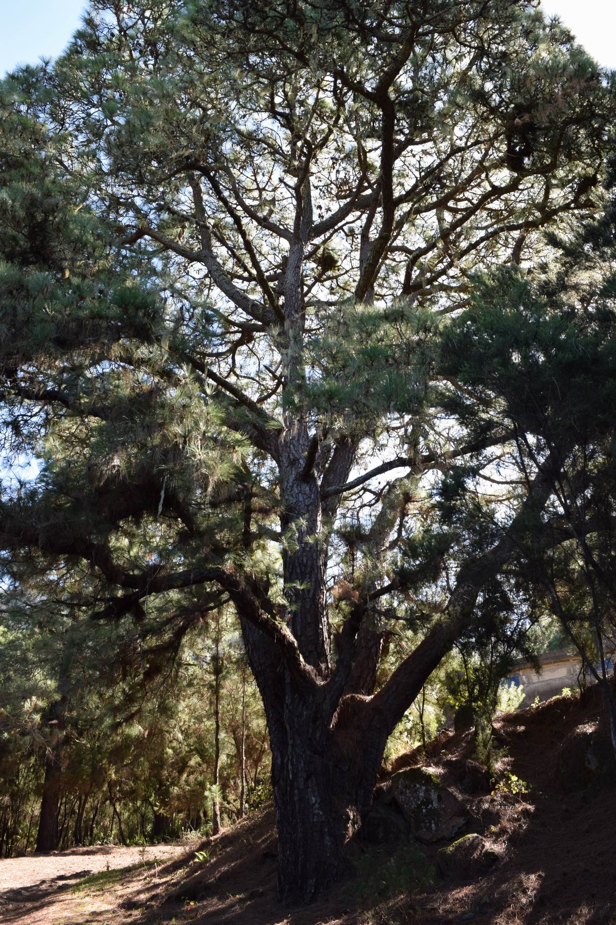
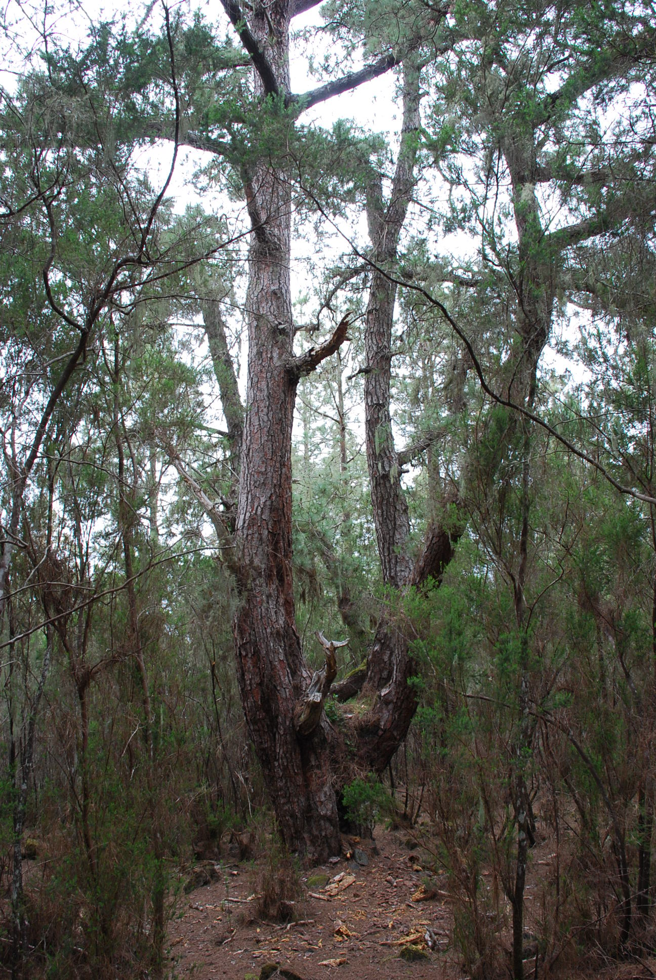
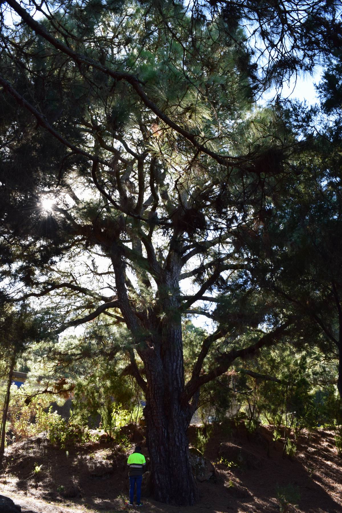
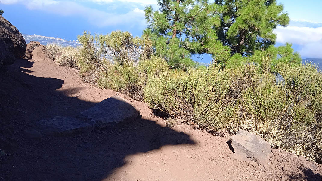
This route offers magnificent views over the Orotava Valley as you pass through immense pine forests and volcanic landscapes on your way up to the Cumbre Dorsal, the backbone of the island. 
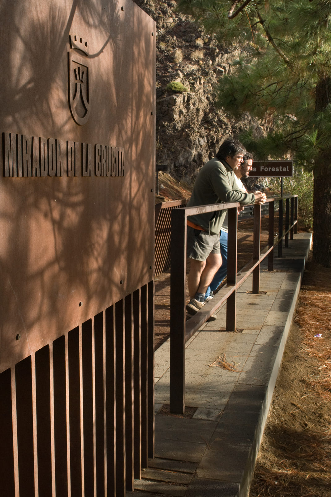
The trail starts at the Aguamansa fish farm at an altitude of 1000m. You will ascend the first section on gentle forest tracks before joining narrower paths carved out of the lava that will take you to your destination, the La Crucita viewpoint on the TF-24 road.

Tips

  • Always stay on the marked trail and do not enter private property, hunting grounds, water galleries, wells or caves.
  • Pay special attention when crossing or walking along trails used by bicycles, horses or motor vehicles and when walking in ravines with water courses.
  • Avoid direct encounters with potentially dangerous animals, such as livestock, beehives, and dogs. 
  • Proceed with caution and watch for obstacles, loose rocks, uneven terrain or steep slopes to avoid accidents and falls.
  • Check out our guide to hiking in Tenerife and, if necessary, contact the emergency services by calling 112.


Recommendations and tips

Guides

No data available

Permits

  • [TEMPORARY MEASURE] Free access without authorisation or reservation for natural or legal entities of a public or private nature, both non-profit (town councils, schools, associations, clubs, etc.) and for-profit (active tourism companies), until 31 December 2024 as established in the Resolution.
  • Free access for all other visitors, no reservation required.
  • Email for enquiries - This email address is being protected from spambots. You need JavaScript enabled to view it.
More information

Technical information sheet

Route information

Walking route

Tenerife ON

Linear

4,52 km

2 h 0 m

982,84 m

74,51 m

One way with fitness level 3/5

  • Altitude gain:982,84 m

  • Altitude loss:74,51 m

  • Maximum altitude:1.987,68 m

  • Minimum altitude:1.077,90 m

Signage

White panels with the symbol of the Camino de Candelaria, trail number and information on directions, links and distances.

Signage

Route map and profile

Elevation profile

Difficulty

Medium *MIDE safe mountain criteria

  • Maximum altitude:1.987,68 m

  • Minimum altitude:1.077,90 m

Connections with other routes

How to get to route start point

Carretera de Las Cañadas del Teide (TF-24), km 15.6, Aguamansa.

Bus numbers 345, 346 and 348, Aguamansa bus stop code 4252. TITSA

Parking spaces available in the area.

How to get to route end point

La Crucita viewpoint, Carretera de Las Cañadas del Teide (TF-24), km 30.1.

No nearby service.

Very limited parking spaces at the viewpoint.

Municipalities passed through

  • Arafo
  • La Orotava

Protected Areas

Transit

Parque Natural de la Corona Forestal

The Corona Forestal is the largest protected natural area in the Canary Islands, one of the most extensive forests on the islands, the lungs of Tenerife and the gateway to Mount Teide.  As its name ...

Discover the Protected Area
Parque Natural de Corona Forestal

Weather

Today, monday, in La Orotava


Clouds
Wind

3 km/h

Temperature

18ºC Maximum

14ºC Minimum

Rain

0%

3 day forecast

tuesday

19ºC Maximum

14ºC Minimum

wednesday

21ºC Maximum

16ºC Minimum

thursday

21ºC Maximum

16ºC Minimum

Places of interest

These are some of the points of interest you can find along this route.

Pino_del_Sendero
Monumental tree

Pino del Sendero

Some branches of this pine tree nearly reach the hillside due to its enormous size. Three limbs...

Pino_Punta_Baranda
Monumental tree

Pino de la Punta de la Baranda

“Parent” pine tree that is a local landmark.

...
Pino_Camino_Piedras
Monumental tree

Pino Camino de las Piedras

Pine tree located on the edge of a ravine, above the Aguamansa forest house.

...