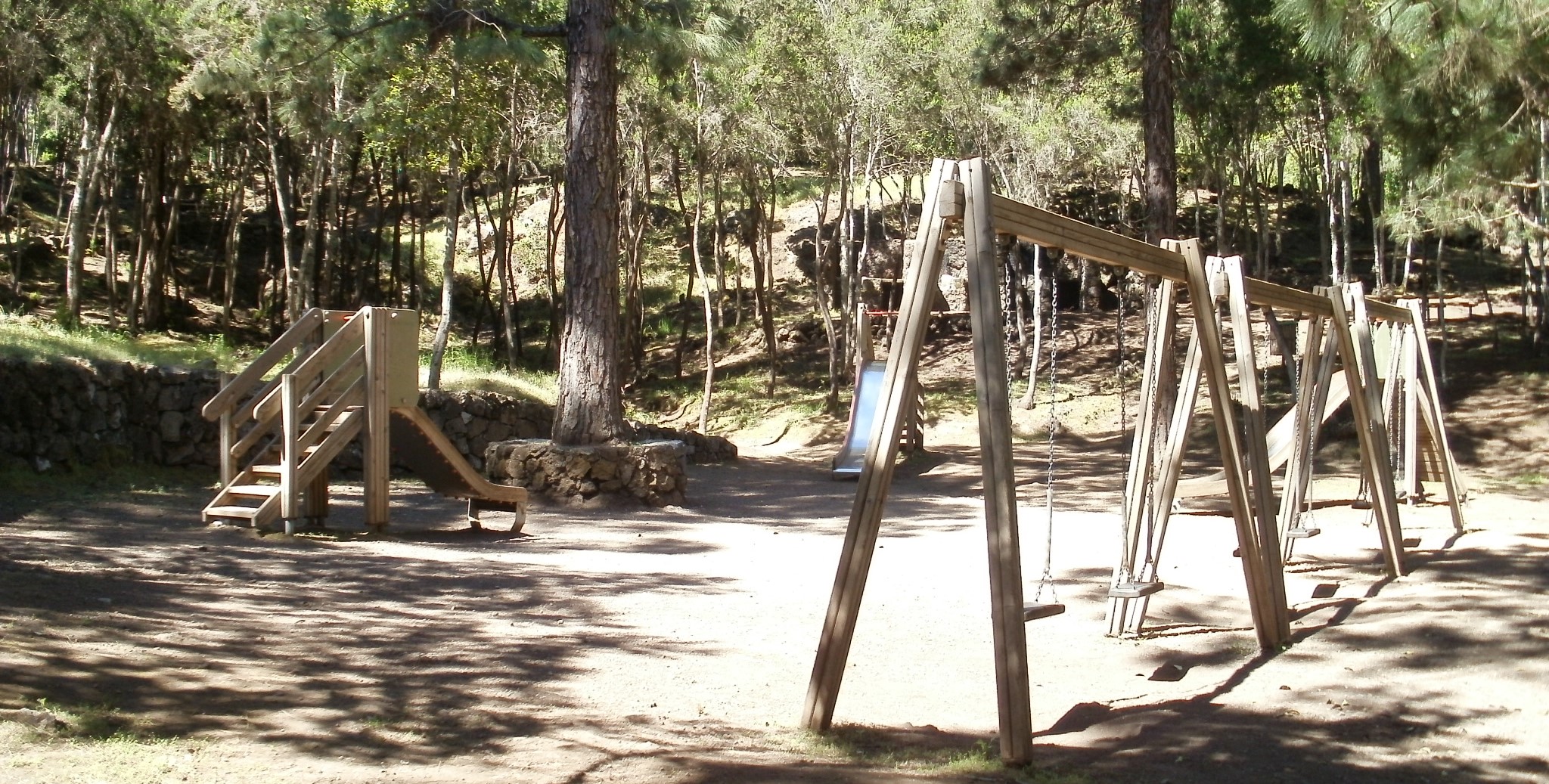
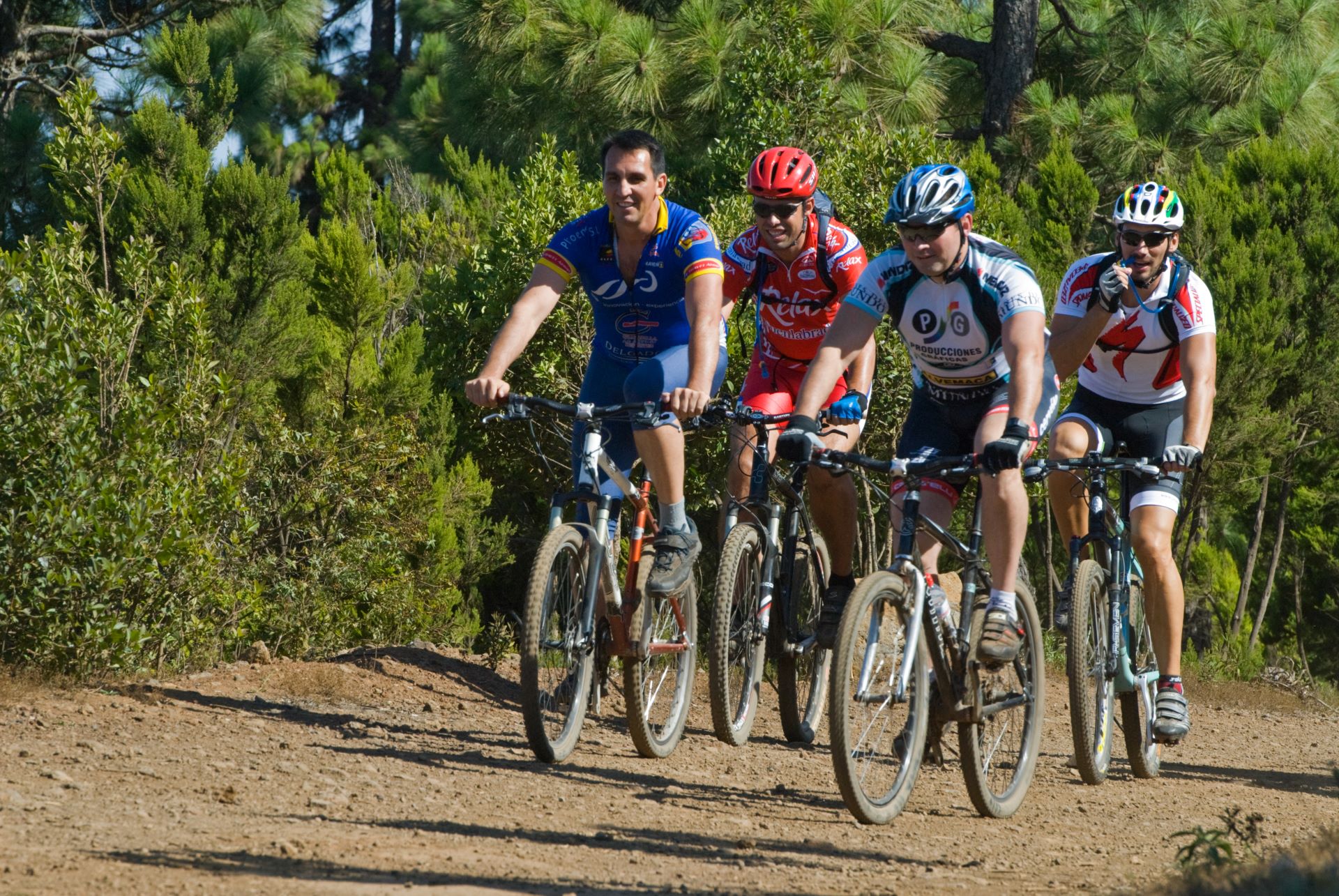
ePrivacy and GPDR Cookie Consent management by TermsFeed Privacy Policy and Consent Generator BC-1.10 La Tahona

BC-1.10 La Tahona

BC-1.10

Corona Forestal Natural Park, extension of route BC 1 to La Tahona Recreational Area.

La Tahona
La Tahona
La Tahona

Description

This trail runs through the areas affected by the large forest fire in 2007, currently undergoing treatment to restore the original pine forest and its undergrowth.

Among many things, you will be able to appreciate how large the fayas (Morella faya) have grown thanks to the work of the forestry services, the pink flowers of the jaras (Cistus symphytifolius) under the pine forest, and the corazoncillos (Lotus campylocladus) that have grown in abundance since the fire, blanketing the ground with yellow flowers in the open areas.

If you look carefully you might also be able to see a woodpecker at work on a trunk, blue chaffinches flitting among the branches and, with a bit of luck, even Eurasian sparrowhawks flying above the canopy of the pine trees. 

IBP Index: 2.

Tips

  • Always stay on the marked trail and do not enter private property, hunting grounds, water galleries, wells or caves.  
  • Be careful when walking along roads used by motor vehicles and hiking trails, and when crossing ravines with water courses.
  • Avoid direct encounters with potentially dangerous animals, such as livestock, beehives, and dogs. 
  • Proceed with caution and watch for obstacles, loose rocks, uneven terrain or steep slopes to avoid accidents and falls. 
  • Consult our good practice guide and, if necessary, contact emergency services by calling 112.
Recommendations and tips

Guides

No data available

Permits

  • Reservation obligatory for groups organised by for-profit and not-for-profit public and private entities and profit-making individuals. Link
  • T: 901 501 901 - 922 239 500.
  • Free access for all other users, alone or in a group, no reservation required.

Technical information sheet

Route information

Cycling and horse riding route

Tenerife ON

Linear

0,36 km

0 h 5 m

0,41 m

27,47 m

At an average speed of 14 km/h

  • Altitude gain:0,41 m

  • Altitude loss:27,47 m

  • Maximum altitude:1.098,99 m

  • Minimum altitude:1.071,93 m

Signage

Route code

BC-1.10

Orange posts and signs that include:

  • Official trail number.
  • Route direction.
  • Distance to points of interest.
  • Cyclist and horserider icons.
Signage

Route map and profile

Elevation profile

  • Maximum altitude:1.098,99 m

  • Minimum altitude:1.071,93 m

Connections with other routes

How to get to route start point

Route BC 1, La Tahona trail, San Juan de la Rambla.

No nearby service.

No parking spaces in the area. 

How to get to route end point

La Tahona Recreational Area, La Tahona trail, San Juan de la Rambla.

No nearby service.

Parking area difficult to access in the La Tahona Recreational Area due to rocky ground, special care should be taken.

Municipalities passed through

  • San Juan de la Rambla

Protected Areas

Transit

Parque Natural de la Corona Forestal

The Corona Forestal is the largest protected natural area in the Canary Islands, one of the most extensive forests on the islands, the lungs of Tenerife and the gateway to Mount Teide.  As its name ...

Discover the Protected Area
Parque Natural de Corona Forestal

Weather

Today, monday, in San Juan de la Rambla


Clouds
Wind

3 km/h

Temperature

15ºC Maximum

8ºC Minimum

Rain

0%

3 day forecast

tuesday

16ºC Maximum

9ºC Minimum

wednesday

18ºC Maximum

11ºC Minimum

thursday

17ºC Maximum

12ºC Minimum