ePrivacy and GPDR Cookie Consent management by TermsFeed Privacy Policy and Consent Generator BC-1.5 La Lagunetilla Chica

BC-1.5 La Lagunetilla Chica

BC-1.5

Las Lagunetas Protected Landscape, extension of route BC 1 to the La Lagunetilla Chica Recreational Area.

Incident Incident

Route temporarily closed - Warnings (fire, wind, etc.)

Itinerario cerrado debido al incendio forestal del verano de 2023

La Lagunetilla Honda

Description

This route offers you the chance to immerse yourself in Tenerife’s main ecosystems whilst enjoying amazing views of the north of the island.

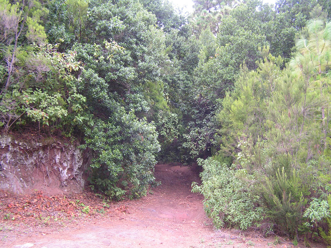
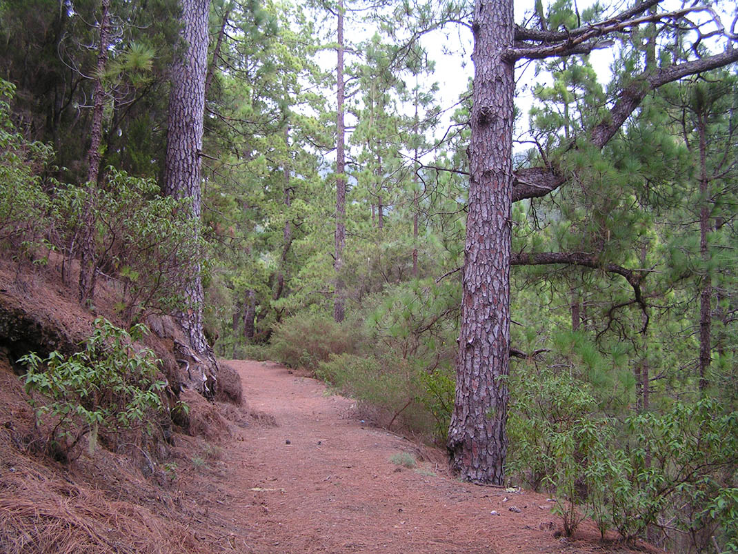
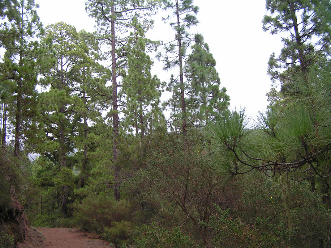
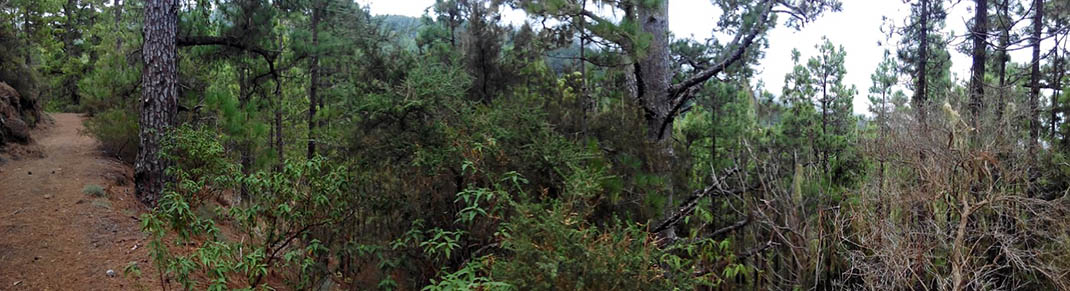
You begin in the Las Lagunetas Protected Landscape, underneath lush Canary Island pine with undergrowth of tree heath (Erica arborea), jara (Cistus symphytifolius) and codeso (Adenocarpus viscosus). 

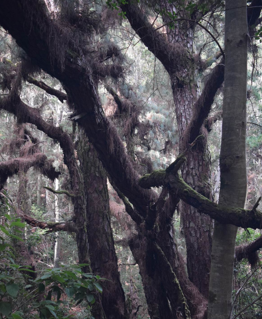
Upon arriving at the Las Palomas Special Nature Reserve you will notice that the landscape changes gradually to mature monteverde with Morella-Erica heath and laurel forest. Here we recommend you keep an eye out for the numerous birds that nest in this area and give it its name (“paloma” means pigeon in Spanish): the Laurel and Bolle’s pigeon, Eurasian sparrowhawk, Eurasian woodcock and blue chaffinch, among others. 

You will also pass by the edge of La Resbala Protected Landscape and, just before the Recreational Area, you will come across a curious forest of sanguinos (Rhamnus glandulosa), a tree species that is typically found in the Anaga Massif but rarely in the rest of the island. And to complete the experience, all along the route you will be able to enjoy spectacular panoramic views of Teide, Barranco del Pino and the Orotava Valley.

IBP Index: 11.

Tips

  • Always stay on the marked trail and do not enter private property, hunting grounds, water galleries, wells or caves.  
  • Be careful when walking along roads used by motor vehicles and hiking trails, and when crossing ravines with water courses.
  • Avoid direct encounters with potentially dangerous animals, such as livestock, beehives, and dogs. 
  • Proceed with caution and watch for obstacles, loose rocks, uneven terrain or steep slopes to avoid accidents and falls. 
  • Consult our good practice guide and, if necessary, contact emergency services by calling 112.
Recommendations and tips

Guides

No data available

Permits

  • Reservation obligatory for groups organised by for-profit and not-for-profit public and private entities and profit-making individuals. Link
  • T: 901 501 901 - 922 239 500.
  • Free access for all other users, alone or in a group, no reservation required.

Technical information sheet

Route information

Cycling and horse riding route

Tenerife ON

Linear

4,21 km

0 h 20 m

115,64 m

202,68 m

At an average speed of 14 km/h

  • Altitude gain:115,64 m

  • Altitude loss:202,68 m

  • Maximum altitude:1.308,11 m

  • Minimum altitude:1.137,20 m

Signage

Route code

BC-1.5

Orange posts and signs that include:

  • Official trail number.
  • Route direction.
  • Distance to points of interest.
  • Cyclist and horserider icons.
Signage

Route map and profile

Elevation profile

  • Maximum altitude:1.308,11 m

  • Minimum altitude:1.137,20 m

Connections with other routes

How to get to route start point

Route BC 1, Morra Los Pinos trail, intersection with the El Cedro/Torrillas trail, Santa Úrsula.

No nearby service.

No parking spaces in the area.

How to get to route end point

La Lagunetilla Chica Recreational Area, Montaña Las Ovejas Trail, Santa Úrsula.

No nearby service.

Parking scarce and with difficult access in the La Lagunetilla Chica Recreational Area, with access only for certain vehicles on forest trails.

Municipalities passed through

  • Santa Úrsula

Protected Areas

Transit

Paisaje Protegido de Las Lagunetas

The Las Lagunetas Protected Landscape is situated on the north side of the Pedro Gil ridge, in the north-east of Tenerife.  This ridge was formed over the course of numerous phases of eruption less ...

Discover the Protected Area
Paisaje Protegido de Las Lagunetas

Transit

Reserva Natural Especial de Las Palomas

The Las Palomas Special Nature Reserve is located within the Las Lagunetas Protected Landscape, in the north-west of the island, and is characterised by high humidity and natural ...

Discover the Protected Area
Reserva Natural Especial de Las Palomas

Weather

Today, monday, in Santa Úrsula


Clouds
Wind

8 km/h

Temperature

18ºC Maximum

15ºC Minimum

Rain

0%

3 day forecast

tuesday

19ºC Maximum

15ºC Minimum

wednesday

20ºC Maximum

16ºC Minimum

thursday

20ºC Maximum

16ºC Minimum

Places of interest

These are some of the points of interest you can find along this route.

Pino_Rey
Monumental tree

Pino Rey

With acebiño (Ilex canariensis) and tree heath (Erica arborea) growing at its...

Monumental tree

“Don Alberto” Pine Tree

Not easily measurable, its perimeter is approximately 7 m. It branches out at a height of 2.50m....