ePrivacy and GPDR Cookie Consent management by TermsFeed Privacy Policy and Consent Generator PR TF 25.3 Las Lagunetas - Los Nateros

PR TF 25.3 Las Lagunetas - Los Nateros

PR-TF 25.3

Las Lagunetas

Incident Incident

Route temporarily closed - Warnings (fire, wind, etc.)

Sendero cerrado debido al incendio forestal del verano de 2023

Route partially closed - Warnings (fire, wind, etc.)

Itinerario cerrado debido al incendio forestal del verano de 2023

Route temporarily closed - Warnings (fire, wind, etc.)

Itinerario cerrado debido al incendio forestal del verano de 2023

Las Lagunetas - Los Nateros

Difficulty: Medium

Description

Variant of the PR TF 25 trail that branches off to the left of the main trail as it leaves Las Lagunetas, in the direction of the Acentejo coast.

It begins with a gentle descent through a majestic pine forest that gradually turns into monteverde. 
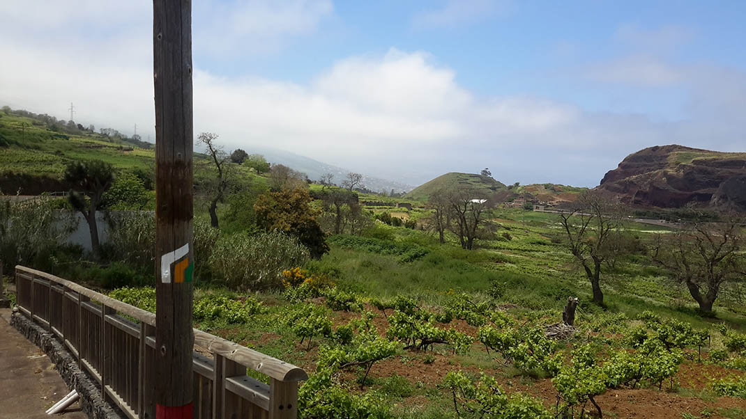
The path continues through Barranco de la Vica, with marvellous views of Mount Teide and the rugged north coast of the island. After passing through La Vica, head towards Los Nateros through a landscape of chestnut trees and vineyards to finally reach your destination next to Montaña Atalaya.

Tips

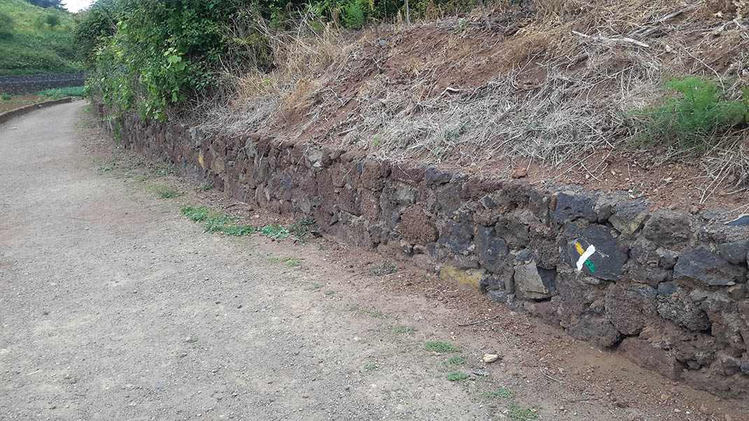
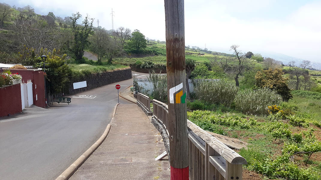
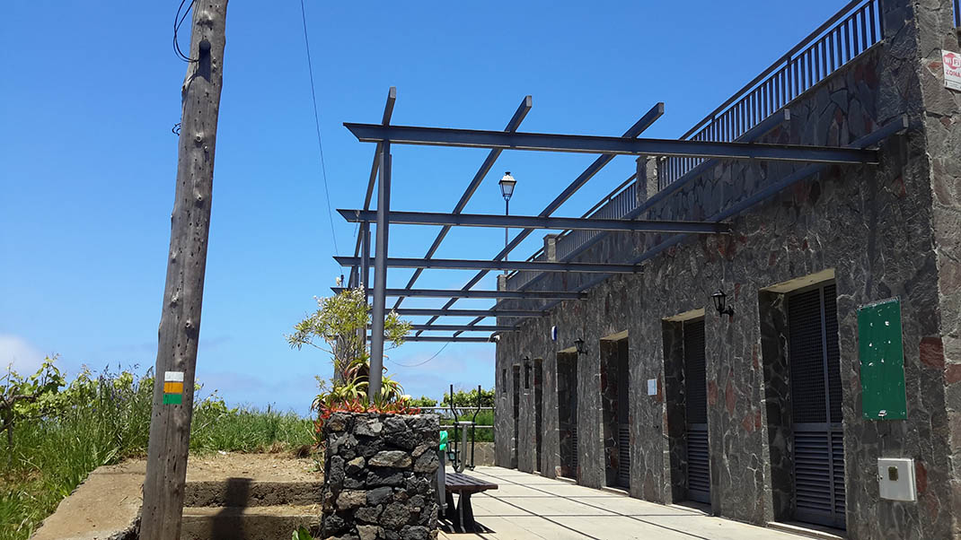
  • Always stay on the marked trail and do not enter private property, hunting grounds, water galleries, wells or caves.
  • Pay special attention when crossing or walking along trails used by bicycles, horses or motor vehicles and when walking in ravines with water courses.
  • Avoid direct encounters with potentially dangerous animals, such as livestock, beehives, and dogs.
  • Proceed with caution and watch for obstacles, loose rocks, uneven terrain or steep slopes to avoid accidents and falls.
  • Check out our guide to hiking in Tenerife and, if necessary, contact the emergency services by calling 112.


Recommendations and tips

Guides

No data available

Permits

  • [TEMPORARY MEASURE] Free access without authorisation or reservation for natural or legal entities of a public or private nature, both non-profit (town councils, schools, associations, clubs, etc.) and for-profit (active tourism companies), until 31 December 2024 as established in the Resolution.
  • Free access for all other visitors, no reservation required.
  • Email for enquiries - This email address is being protected from spambots. You need JavaScript enabled to view it.
More information

Technical information sheet

Route information

Walking route

Tenerife ON

Linear

6,25 km

2 h 20 m

82,32 m

808,00 m

One way with fitness level 3/5

  • Altitude gain:82,32 m

  • Altitude loss:808,00 m

  • Maximum altitude:1.399,86 m

  • Minimum altitude:636,50 m

Signage

Route code

PR-TF 25.3

Posts and signs displaying the PR code and yellow and white marks.

Signage

Route map and profile

Elevation profile

Difficulty

Medium *MIDE safe mountain criteria

  • Maximum altitude:1.399,86 m

  • Minimum altitude:636,50 m

Connections with other routes

  • /
  • /
  • /

How to get to route start point

Carretera General de La Esperanza (TF-24), km 16.5, Las Lagunetas, El Rosario.

No nearby service (consult Transportes La Esperanza, 922 548 080).

Parking spaces available in the centre of Las Lagunetas.

How to get to route end point

Intersection of Calle Real de La Orotava with Calle Chamiana, Los Nateros, La Matanza de Acentejo.

No nearby service.

Parking spaces available nearby.

Municipalities passed through

  • El Sauzal
  • La Matanza de Acentejo

Protected Areas

Transit

Paisaje Protegido de Las Lagunetas

The Las Lagunetas Protected Landscape is situated on the north side of the Pedro Gil ridge, in the north-east of Tenerife.  This ridge was formed over the course of numerous phases of eruption less ...

Discover the Protected Area
Paisaje Protegido de Las Lagunetas

Weather

Today, monday, in La Matanza de Acentejo


Clouds
Wind

8 km/h

Temperature

18ºC Maximum

17ºC Minimum

Rain

0%

3 day forecast

tuesday

19ºC Maximum

16ºC Minimum

wednesday

20ºC Maximum

17ºC Minimum

thursday

20ºC Maximum

18ºC Minimum