ePrivacy and GPDR Cookie Consent management by TermsFeed Privacy Policy and Consent Generator PR TF 25.2 Las Lagunetas - Hoya del Abade

PR TF 25.2 Las Lagunetas - Hoya del Abade

PR-TF 25.2

Las Lagunetas

Incident Incident

Route temporarily closed - Warnings (fire, wind, etc.)

Itinerario cerrado debido al incendio forestal del verano de 2023. Abierto el tramo que discurre al sur de la TF 24, concretamente desde la Pista El Fayal hasta la conexión con la carretera TF 24.

Route temporarily closed - Warnings (fire, wind, etc.)

Itinerario cerrado debido al incendio forestal del verano de 2023. Abierto el tramo que discurre al sur de la TF 24, concretamente desde la Pista El Fayal hasta la conexión con la carretera TF 24.

Las Lagunetas - Hoya del Abade

Difficulty: Medium

Description

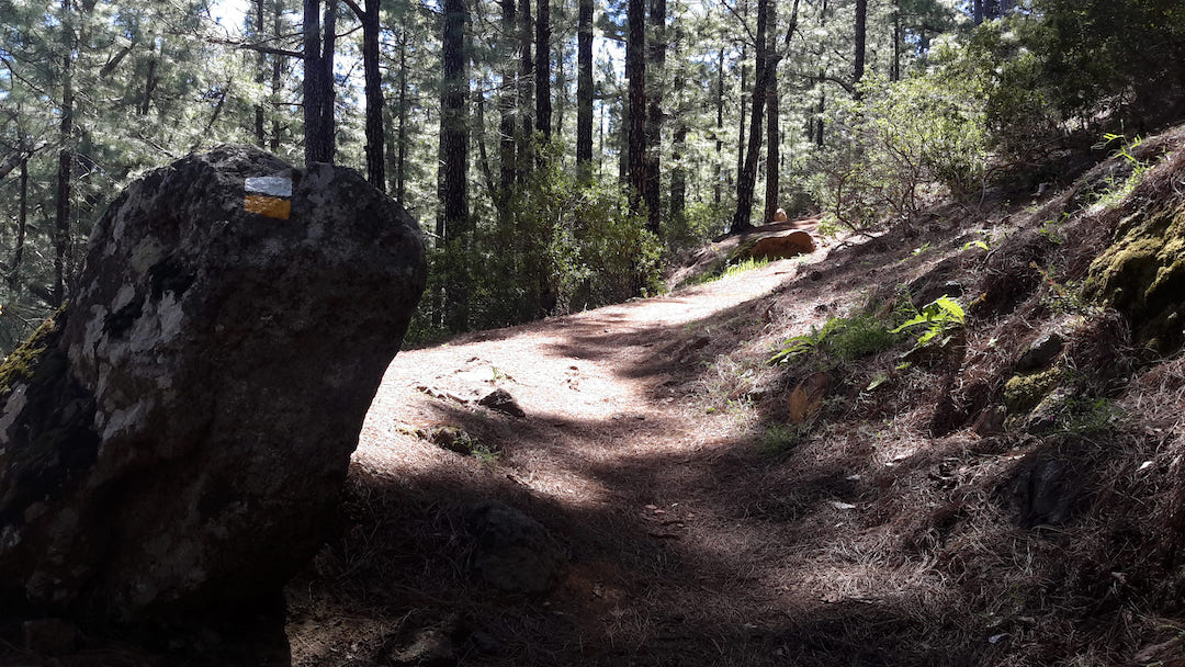
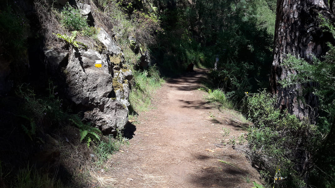
This pleasant trail is notable for the thick, cool Canary Island pine forest that is present throughout most of the route. 

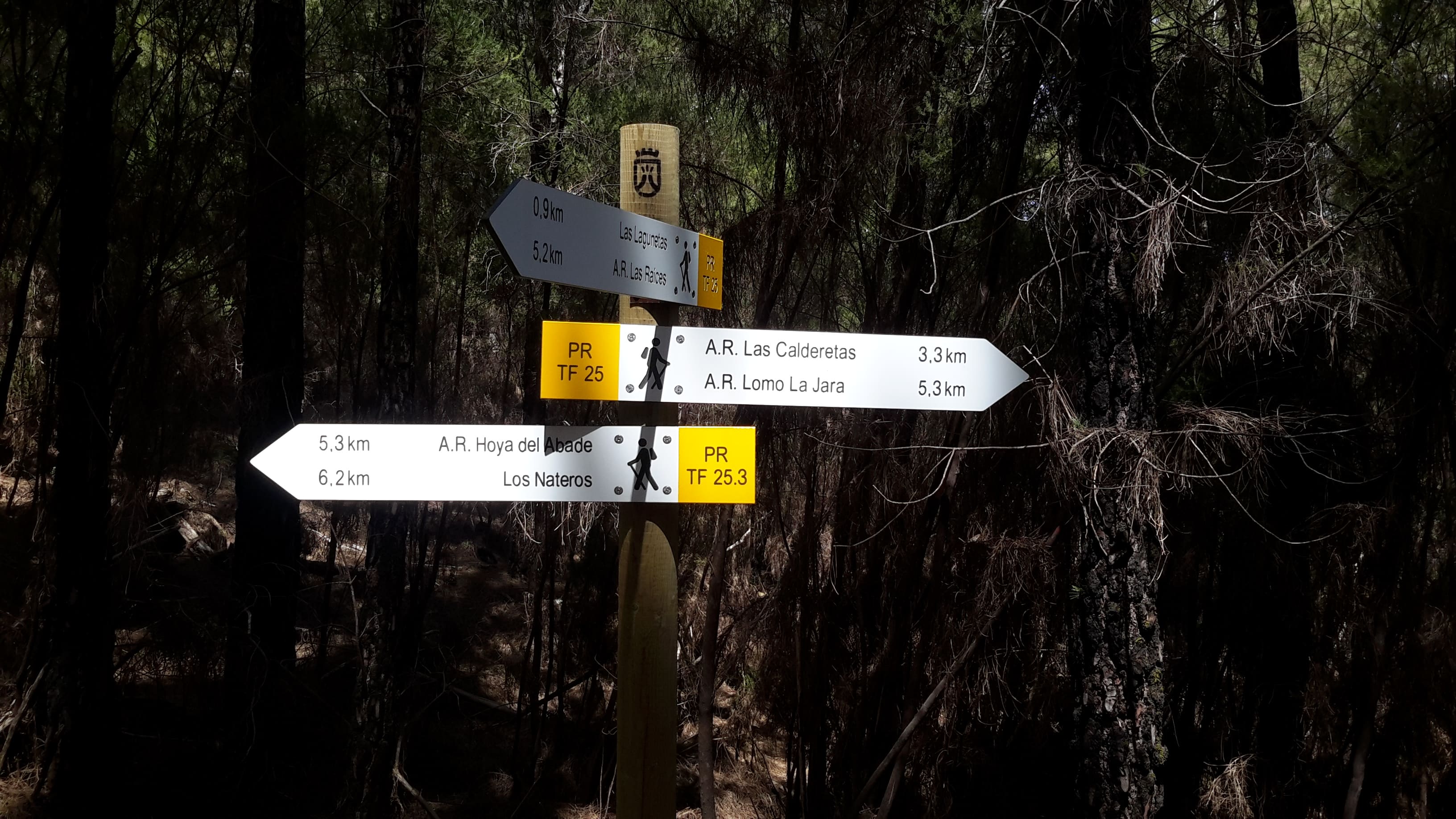
It starts on the left hand side of the main road (Carretera General de La Esperanza) at km 16.5, in the area of Las Lagunetas, and enters the pine forest almost immediately. 

It descends gently parallel to the road and passes the foot of Morra de las Colmenas, before leading you to the Las Canales rest area. 

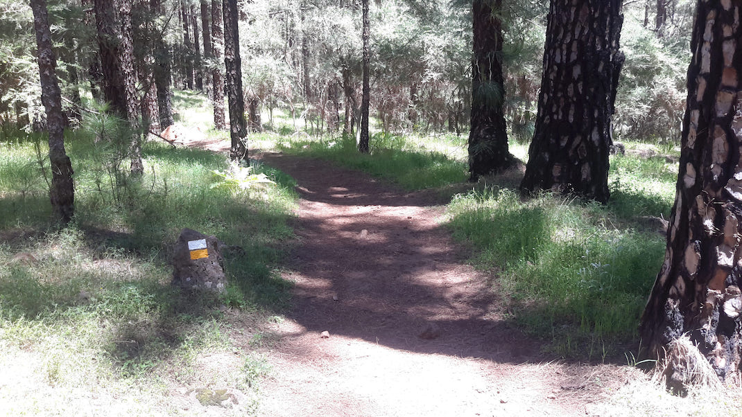
From there you will continue the gentle descent until you leave the Las Lagunetas Protected Landscape and reach the Hoya de Abade Recreational Area, the end of the route. 

As an interesting fact, this trail is shared with the Camino de Candelaria, a historic pilgrimage route to the Basilica of Candelaria.

Tips

  • Always stay on the marked trail and do not enter private property, hunting grounds, water galleries, wells or caves.  
  • Pay special attention when crossing or walking along trails used by bicycles, horses or motor vehicles and when walking in ravines with water courses.
  • Avoid direct encounters with potentially dangerous animals, such as livestock, beehives, and dogs. 
  • Proceed with caution and watch for obstacles, loose rocks, uneven terrain or steep slopes to avoid accidents and falls. 
  • Check out our guide to hiking in Tenerife and, if necessary, contact the emergency services by calling 112.


Recommendations and tips

Guides

No data available

Permits

  • [TEMPORARY MEASURE] Free access without authorisation or reservation for natural or legal entities of a public or private nature, both non-profit (town councils, schools, associations, clubs, etc.) and for-profit (active tourism companies), until 31 December 2024 as established in the Resolution.
  • Free access for all other visitors, no reservation required.
  • Email for enquiries - This email address is being protected from spambots. You need JavaScript enabled to view it.
More information

Technical information sheet

Route information

Walking route

Tenerife ON

Linear

5,86 km

2 h 5 m

240,75 m

597,29 m

One way with fitness level 3/5

  • Altitude gain:240,75 m

  • Altitude loss:597,29 m

  • Maximum altitude:1.482,56 m

  • Minimum altitude:1.004,90 m

Signage

Route code

PR-TF 25.2

Posts and signs displaying the PR code and yellow and white marks.

Signage

Route map and profile

Elevation profile

Difficulty

Medium *MIDE safe mountain criteria

  • Maximum altitude:1.482,56 m

  • Minimum altitude:1.004,90 m

Connections with other routes

How to get to route start point

Carretera General de La Esperanza (TF-24), km 16.5, Las Lagunetas, El Rosario.

No nearby service (consult Transportes La Esperanza, 922 548 080).

Parking spaces available in the centre of Las Lagunetas.

How to get to route end point

Hoya de Abade Recreational Area, Fuente Fría track from Hoya Manzaneros, Tacoronte.

No service in the surrounding area.

Parking spaces in the recreational area, with difficult access by forest track (only authorised vehicles).

Municipalities passed through

  • Candelaria
  • La Matanza de Acentejo
  • La Victoria de Acentejo

Protected Areas

Transit

Paisaje Protegido de Las Lagunetas

The Las Lagunetas Protected Landscape is situated on the north side of the Pedro Gil ridge, in the north-east of Tenerife.  This ridge was formed over the course of numerous phases of eruption less ...

Discover the Protected Area
Paisaje Protegido de Las Lagunetas

Weather

Today, tuesday, in La Victoria de Acentejo


Clouds
Wind

6 km/h

Temperature

21ºC Maximum

17ºC Minimum

Rain

0%

3 day forecast

wednesday

22ºC Maximum

18ºC Minimum

thursday

21ºC Maximum

17ºC Minimum

friday

19ºC Maximum

16ºC Minimum