ePrivacy and GPDR Cookie Consent management by TermsFeed Privacy Policy and Consent Generator PR TF 35.2 Ruta del Agua

PR TF 35.2 Ruta del Agua

PR-TF 35.2

Pinolere

Incident Incident

Route temporarily closed - Warnings (fire, wind, etc.)

Itinerario cerrado debido al incendio forestal del verano de 2023

Ruta del Agua
Ruta del Agua

Difficulty: Medium

Description

Circular extension of the PR TF 35 trail that begins and ends on the Mamio track, next to the imposing Casa del Agua. 

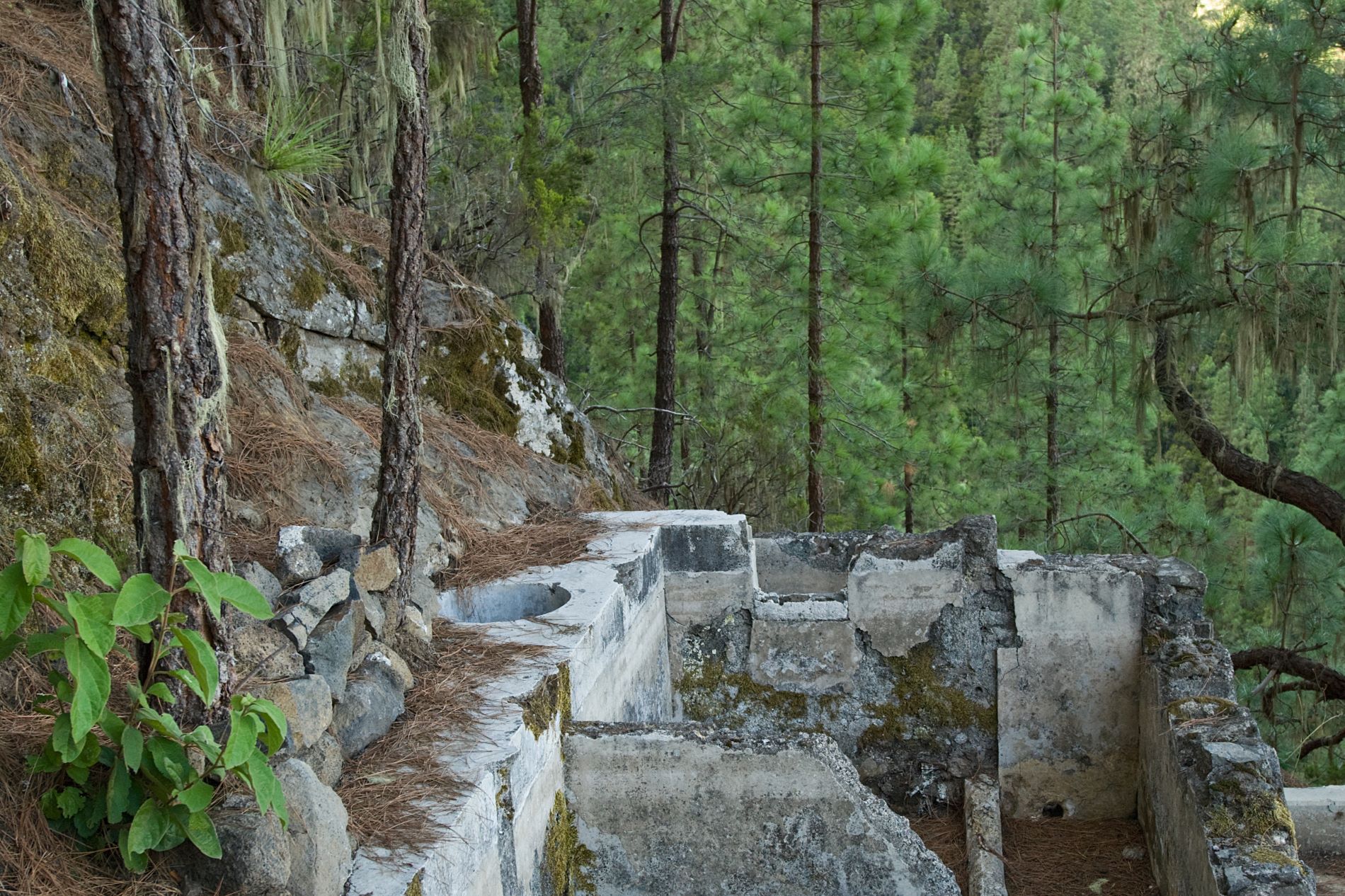
This building was formerly used to distribute water through its system of channels. 

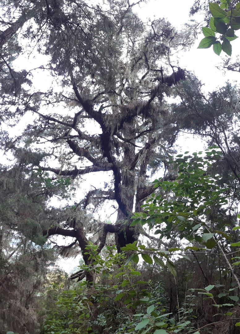
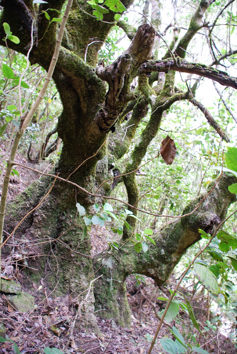
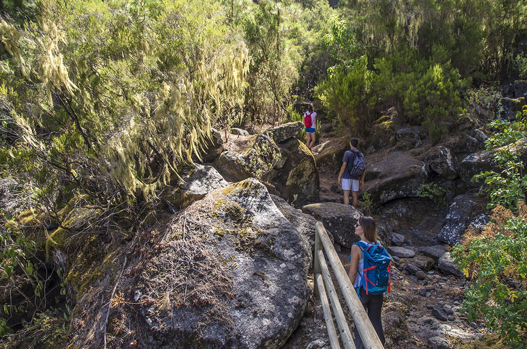
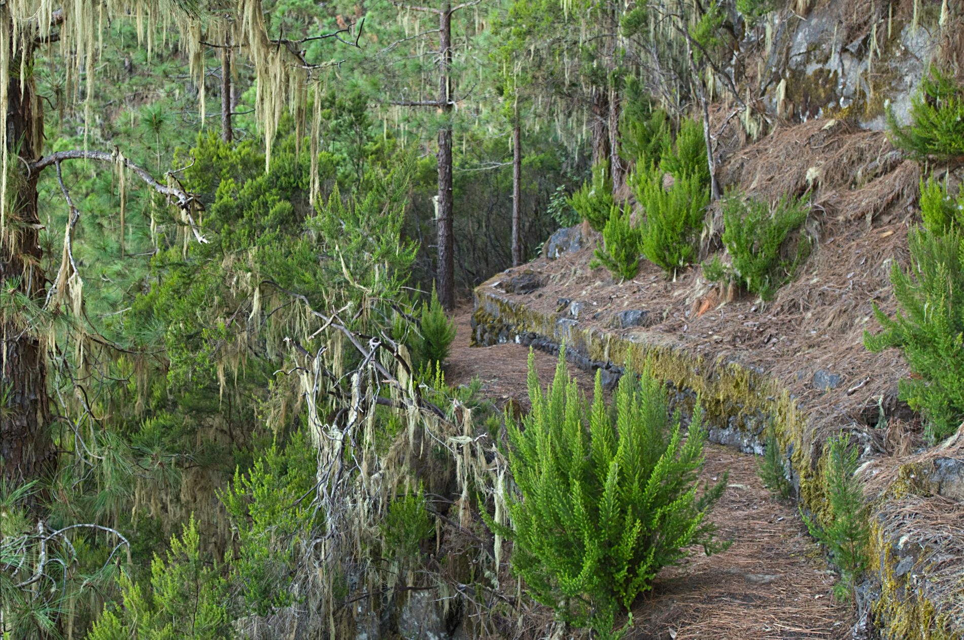
The route has very steep sections and runs along the edge of the Barranco de La Madre, with areas of steps and wooden fences to negotiate. Along the route you will come across a wide variety of structures, such as canals, ditches and even the old aqueduct dating back to 1863.

Tips

  • Always stay on the marked trail and do not enter private property, hunting grounds, water galleries, wells or caves. 
  • Pay special attention when crossing or walking along trails used by bicycles, horses or motor vehicles and when walking in ravines with water courses.
  • Avoid direct encounters with potentially dangerous animals, such as livestock, beehives, and dogs.
  • Proceed with caution and watch for obstacles, loose rocks, uneven terrain or steep slopes to avoid accidents and falls.
  • Check out our guide to hiking in Tenerife and, if necessary, contact the emergency services by calling 112.


Recommendations and tips

Guides

No data available

Permits

  • [TEMPORARY MEASURE] Free access without authorisation or reservation for natural or legal entities of a public or private nature, both non-profit (town councils, schools, associations, clubs, etc.) and for-profit (active tourism companies), until 31 December 2024 as established in the Resolution.
  • Free access for all other visitors, no reservation required.
  • Email for enquiries - This email address is being protected from spambots. You need JavaScript enabled to view it.
More information

Technical information sheet

Route information

Walking route

Tenerife ON

Circular

1,94 km

1 h 30 m

327,40 m

335,50 m

One way with fitness level 3/5

  • Altitude gain:327,40 m

  • Altitude loss:335,50 m

  • Maximum altitude:1.338,09 m

  • Minimum altitude:1.143,74 m

Signage

Route code

PR-TF 35.2

Posts and signs displaying the PR code and yellow and white marks.

Signage

Route map and profile

Elevation profile

Difficulty

Medium *MIDE safe mountain criteria

  • Maximum altitude:1.338,09 m

  • Minimum altitude:1.143,74 m

Connections with other routes

How to get to route start point

Casa del Agua

Casa del Agua only accessible on foot.

Casa del Agua only accessible on foot.

How to get to route end point

Casa del Agua

Casa del Agua only accessible on foot.

Casa del Agua only accessible on foot.

Municipalities passed through

  • La Orotava

Protected Areas

Transit

Parque Natural de la Corona Forestal

The Corona Forestal is the largest protected natural area in the Canary Islands, one of the most extensive forests on the islands, the lungs of Tenerife and the gateway to Mount Teide.  As its name ...

Discover the Protected Area
Parque Natural de Corona Forestal

Weather

Today, friday, in La Orotava


Clouds
Wind

5 km/h

Temperature

18ºC Maximum

14ºC Minimum

Rain

218%

3 day forecast

saturday

19ºC Maximum

14ºC Minimum

sunday

20ºC Maximum

16ºC Minimum

monday

20ºC Maximum

15ºC Minimum

Places of interest

These are some of the points of interest you can find along this route.

Acebiño_Organos
Monumental tree

• Acebiños (Ilex canariensis) near los Órganos

Several large specimens in an area dotted with old faya (Morella faya) and tree heath...

Pino_Lomo_jaral
Monumental tree

Pino Lomo del Jaral

Located about 100 metres above the PR 35.2 trail (Ruta del Agua), this pine tree forks into two...

Pino_Negro_Orotava
Monumental tree

Pino Negro

This is a huge pine tree that is a well-known landmark in the area, towering over other large...