ePrivacy and GPDR Cookie Consent management by TermsFeed Privacy Policy and Consent Generator VM 6. Pista de La Vica, Las Aguilillas, Montaña El Pozo, Carril del Polvo, Baja Camella y Las Calderetas

VM 6. Pista de La Vica, Las Aguilillas, Montaña El Pozo, Carril del Polvo, Baja Camella y Las Calderetas

VM-6

Incident Incident

Route temporarily closed - Warnings (fire, wind, etc.)

Itinerario cerrado debido al incendio forestal del verano de 2023

Route temporarily closed - Warnings (fire, wind, etc.)

Itinerario cerrado debido al incendio forestal del verano de 2023

Route temporarily closed - Warnings (fire, wind, etc.)

Itinerario cerrado debido al incendio forestal del verano de 2023

Route temporarily closed - Warnings (fire, wind, etc.)

Itinerario cerrado debido al incendio forestal del verano de 2023

6.- Pista de la VICA, Las Aguilillas, Montaña El Pozo, Carril del Polvo

Description

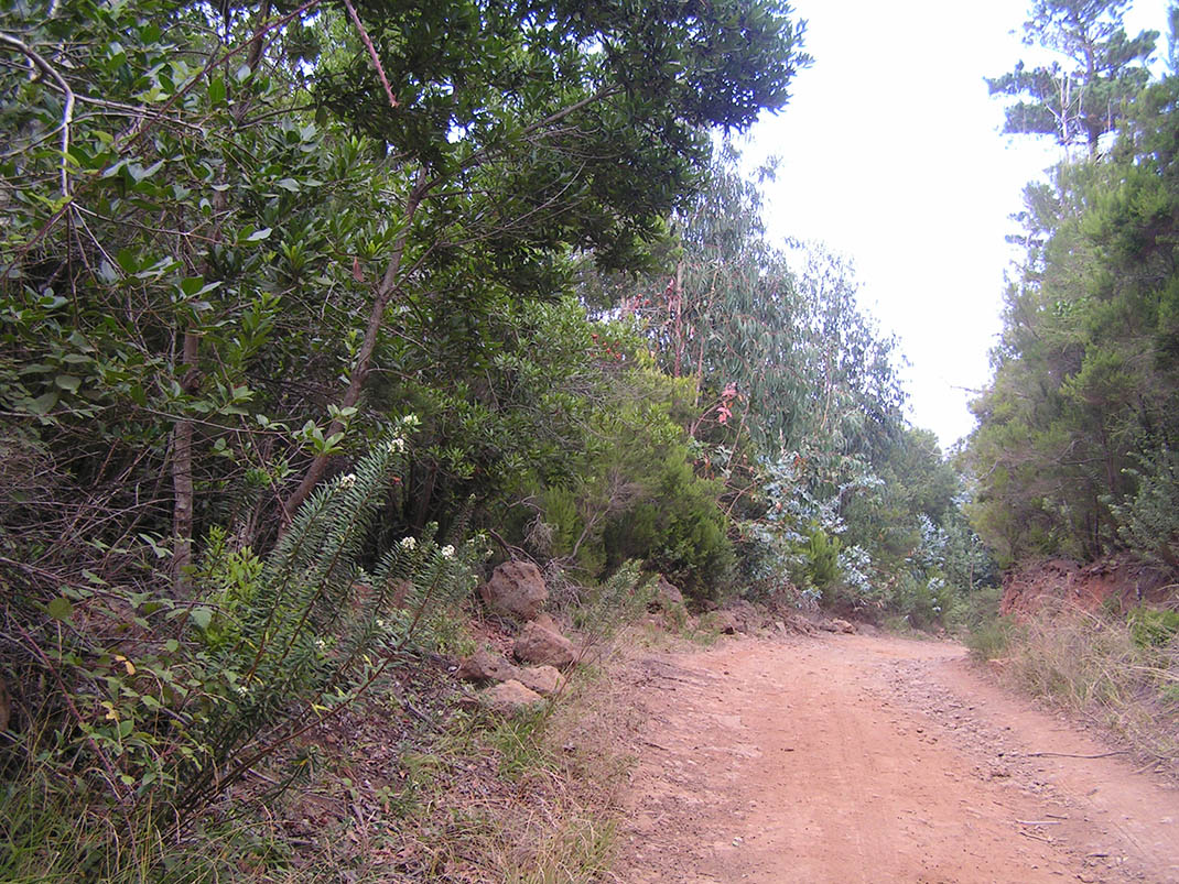
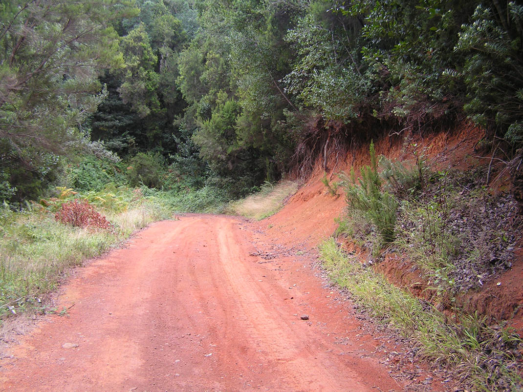
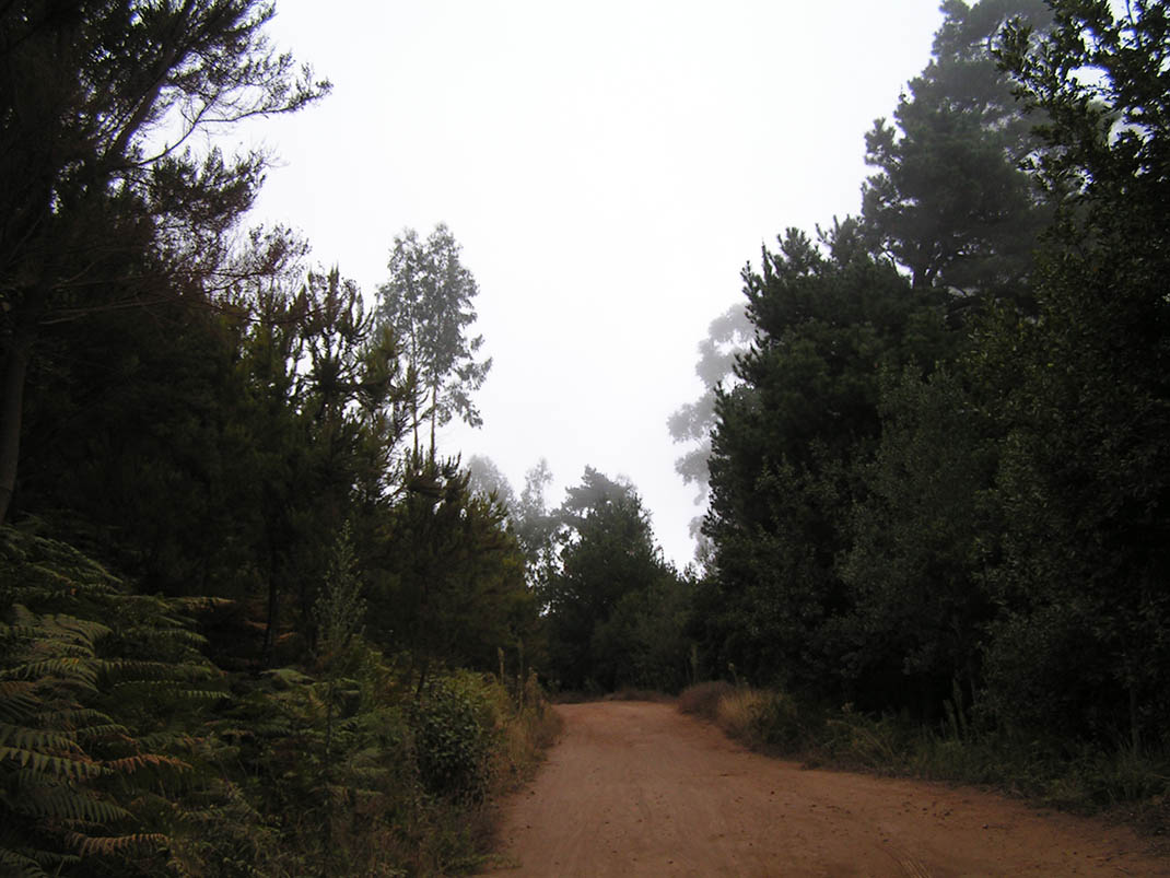
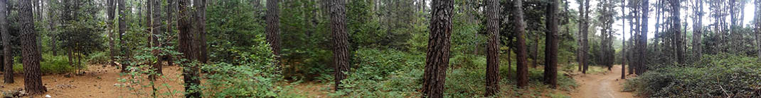
This route takes you through different pine stands that were replanted in the second half of the 20th century and are currently in the process of being replaced. 

To restore the monteverde undergrowth typical of this area, forestry teams are cutting down some of the Monterey pines in these forests. In addition, many older and weaker specimens have been blown down in recent years by storms, another reason why they need to be replaced. 

This means that along the track you will see the monteverde ecosystem in different stages of evolution and composition, from areas with an understorey of laurel (Laurus novocanariensis) and follao (Viburnum rigidum) to much more mature areas, such as Montaña del Pozo. 

You will also notice the frequent traces of the work carried out by the forestry teams on the vegetation to improve its condition and stimulate its development.

Tips

  • Always stay on the marked trail observing all traffic rules established in the regulations. 
  • When parking, keep away from water intakes or firefighting water storage tanks, and do not block the passage of other vehicles or access to the track.
  • Be extra careful both at junctions with paths and tracks and on sections shared by walkers, horse riders and cyclists. 
  • Proceed with care to avoid accidents that may be caused by obstacles, landslides and uneven terrain. 
  • Check our guide to motor vehicle routes and, if necessary, contact the emergency services by calling 112.
Recommendations and tips

Guides

No data available

Permits

Prior authorisation through the Reservation Centre of the Tenerife Island Council is compulsory for the following vehicles:

  • Trials, enduro and motocross bikes.
  • ATVs and quads with a handlebar steering system.
  • Off-road vehicles with tyres of 10 to 15mm tread depth.
  • Power-assisted pedal cycles with a power output of more than 0.5 kW, to supplement the muscle power of the rider.
  • Caravan of up to six motor vehicles in motion with a maximum distance of 30 metres separating them.

Check the Regulations for information on prohibited vehicles.

No reservations are required for other vehicles, provided that they meet the recreational use requirements for this network of trails.

More information

Technical information sheet

Route information

Motor vehicle route

Tenerife ON

Linear

8,01 km

0 h 35 m

341,50 m

257,12 m

At an average speed of 15 km/h

  • Altitude gain:341,50 m

  • Altitude loss:257,12 m

  • Maximum altitude:1.096,01 m

  • Minimum altitude:920,96 m

Signage

Route code

VM-6

Tracks for motor vehicles are marked with blue signs and posts that include:

  • Direction.
  • Route number.
  • Distance to end point.
Signage

Route map and profile

Elevation profile

  • Maximum altitude:1.096,01 m

  • Minimum altitude:920,96 m

Connections with other routes

How to get to route end point

Pista de Fuente Fría (VM 1).

Municipalities passed through

  • El Sauzal
  • La Matanza de Acentejo
  • Tacoronte

Protected Areas

Transit

Paisaje Protegido de Las Lagunetas

The Las Lagunetas Protected Landscape is situated on the north side of the Pedro Gil ridge, in the north-east of Tenerife.  This ridge was formed over the course of numerous phases of eruption less ...

Discover the Protected Area
Paisaje Protegido de Las Lagunetas

Weather

Today, thursday, in La Matanza de Acentejo


Clear skies
Wind

4 km/h

Temperature

21ºC Maximum

16ºC Minimum

Rain

0%

3 day forecast

friday

20ºC Maximum

18ºC Minimum

saturday

18ºC Maximum

16ºC Minimum

sunday

18ºC Maximum

16ºC Minimum