ePrivacy and GPDR Cookie Consent management by TermsFeed Privacy Policy and Consent Generator SL TF 81 Camino de La Orilla del Monte

SL TF 81 Camino de La Orilla del Monte

SL-TF 81

Aguamansa

Camino de La Orilla del Monte

Difficulty: Low

Description

The Camino la Orilla del Monte, also known as the Aguamansa - Lomo Chillero - Aguamansa trail, starts and ends at the La Caldera recreational area. 

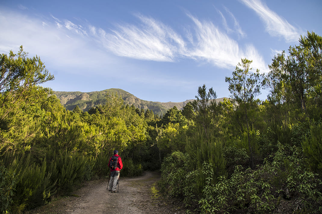
The route runs slightly downhill along an asphalted track until it reaches a crossroads. 

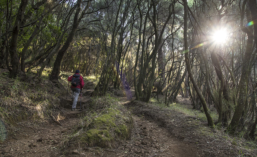
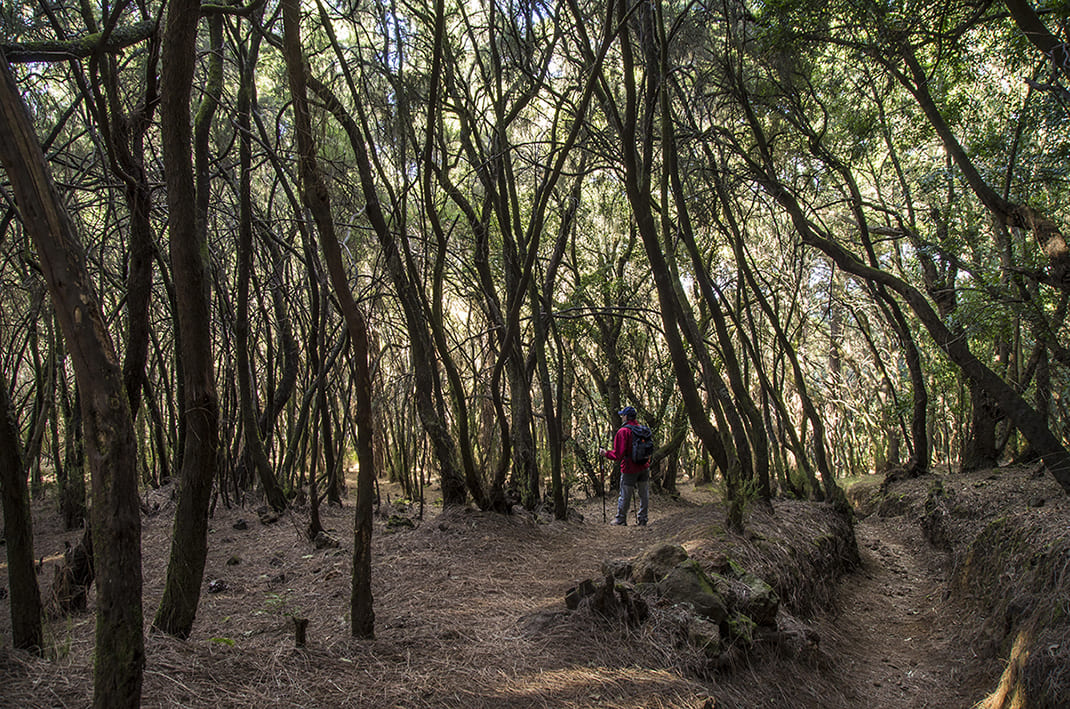
If you turn right onto the GR-131 (Anaga Chasna), you will descend gently and then continue along a flat path for about 1.5 km. You will see how the monteverde is gradually reclaiming its territory after these lands were overexploited for firewood in the past. 

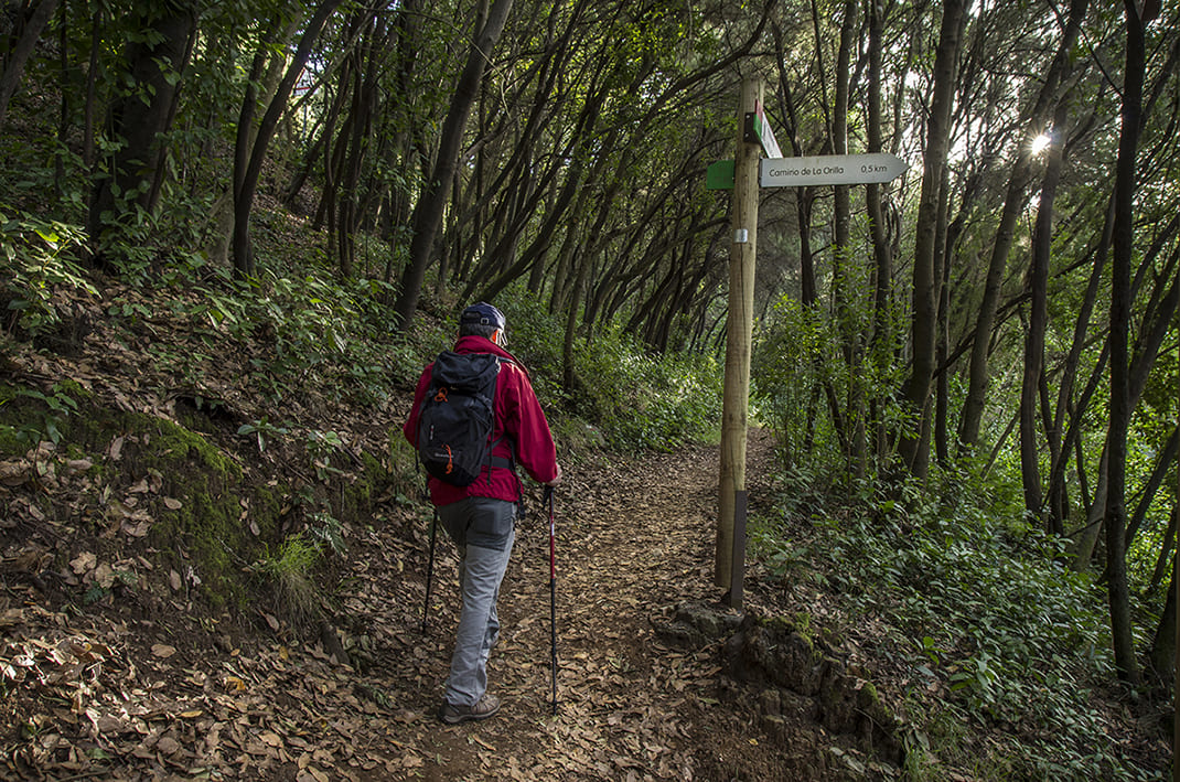
At this point, turn off the GR-131 long-distance trail to climb towards the Lomo Chillero viewpoint. Here the route joins the Benijos track that will take you back to the start of the trail.

Tips

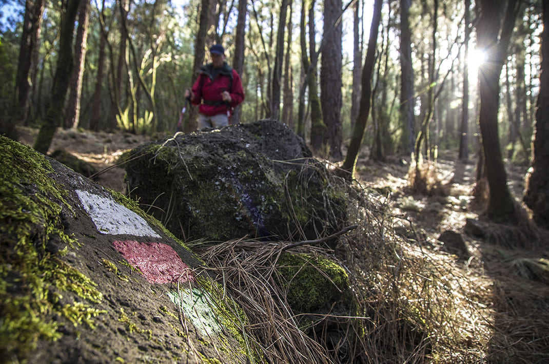
  • Always stay on the marked trail and do not enter private property, hunting grounds, water galleries, wells or caves. 
  • Pay special attention when crossing or walking along trails used by bicycles, horses or motor vehicles and when walking in ravines with water courses.
  • Avoid direct encounters with potentially dangerous animals, such as livestock, beehives, and dogs.
  • Proceed with caution and watch for obstacles, loose rocks, uneven terrain or steep slopes to avoid accidents and falls.
  • Check out our guide to hiking in Tenerife and, if necessary, contact the emergency services by calling 112.


Recommendations and tips

Guides

No data available

Permits

  • [TEMPORARY MEASURE] Free access without authorisation or reservation for natural or legal entities of a public or private nature, both non-profit (town councils, schools, associations, clubs, etc.) and for-profit (active tourism companies), until 31 December 2024 as established in the Resolution.
  • Free access for all other visitors, no reservation required.
  • Email for enquiries - This email address is being protected from spambots. You need JavaScript enabled to view it.
More information

Technical information sheet

Route information

Walking route

Tenerife ON

Circular

3,88 km

1 h 5 m

219,09 m

219,09 m

One way with fitness level 3/5

  • Altitude gain:219,09 m

  • Altitude loss:219,09 m

  • Maximum altitude:1.191,43 m

  • Minimum altitude:1.039,93 m

Signage

Route code

SL-TF 81

Posts and signs displaying the SL code and green and white marks.

Signage

Route map and profile

Elevation profile

Difficulty

Low *MIDE safe mountain criteria

  • Maximum altitude:1.191,43 m

  • Minimum altitude:1.039,93 m

Connections with other routes

  • /
  • /

How to get to route start point

La Caldera Recreational Area, Carretera de las Cañadas del Teide (TF-21), turn off at km 16.2.

Bus numbers 345 and 346, La Caldera bus stop code 4253. TITSA

Parking spaces in the recreational area.

How to get to route end point

La Caldera Recreational Area, Carretera de las Cañadas del Teide (TF-21), turn off at km 16.2.

Bus numbers 345 and 346, La Caldera bus stop code 4253. TITSA

Parking spaces in the recreational area.

Municipalities passed through

  • La Orotava

Protected Areas

Transit

Parque Natural de la Corona Forestal

The Corona Forestal is the largest protected natural area in the Canary Islands, one of the most extensive forests on the islands, the lungs of Tenerife and the gateway to Mount Teide.  As its name ...

Discover the Protected Area
Parque Natural de Corona Forestal

Weather

Today, thursday, in La Orotava


Clouds
Wind

2 km/h

Temperature

23ºC Maximum

19ºC Minimum

Rain

0%

3 day forecast

friday

21ºC Maximum

17ºC Minimum

saturday

21ºC Maximum

16ºC Minimum

sunday

20ºC Maximum

16ºC Minimum