ePrivacy and GPDR Cookie Consent management by TermsFeed Privacy Policy and Consent Generator BC-1.9 Barranco La Arena

BC-1.9 Barranco La Arena

BC-1.9

Corona Forestal Natural Park, extension of route BC 1 to the Barranco de La Arena Recreational Area.

Barranco La Arena
Barranco La Arena
Barranco La Arena
Barranco La Arena
Barranco La Arena

Description

This route meanders between deep ravines with views of the northern slope of the Corona Forestal Natural Park. On clear days you will even be able to make out the shape of the island of La Palma in the distance.

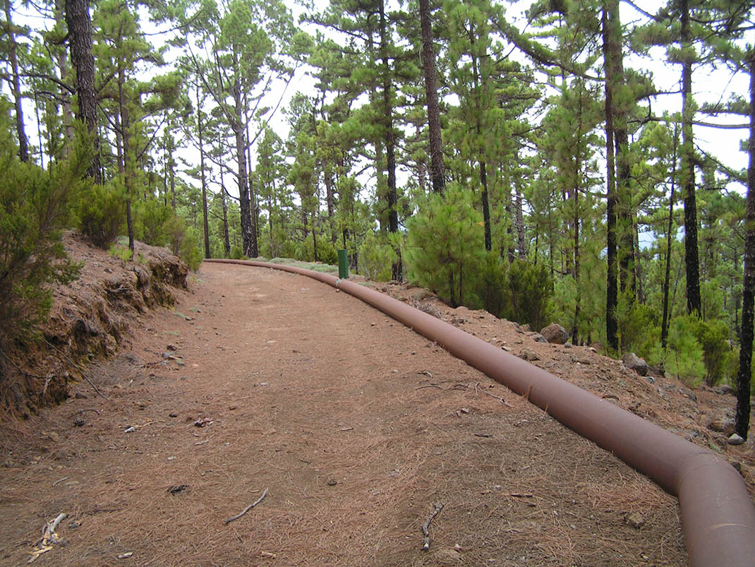
It begins at the edge of the Los Campeches, Tigaiga and Ruiz Protected Landscape, taking you through the pine forest of the north to the Barranco de La Arena Recreational Area. The ravines that it crosses include La Atalaya, Fuente de Pedro, Fuente del Obispo, Los Charcos and Las Chamuscadas, with geological formations and contrasts in colour that will leave you speechless. 

You will see that the Canary Island pine is the predominant species, along with tree heath (Erica arborea) and escobon (Chamaecytisus proliferus), species that thrive in the humid conditions of the ravines. Along the edge of the trail you will also find codeso (Adenocarpus viscosus) and jara (Cistus symphytifolius), attracted by the increased light. Among the birds you can see in this area are the Eurasian sparrowhawk, the woodpecker and the blue chaffinch.

IBP Index: 2.

Tips

  • Always stay on the marked trail and do not enter private property, hunting grounds, water galleries, wells or caves.  
  • Be careful when walking along roads used by motor vehicles and hiking trails, and when crossing ravines with water courses.
  • Avoid direct encounters with potentially dangerous animals, such as livestock, beehives, and dogs. 
  • Proceed with caution and watch for obstacles, loose rocks, uneven terrain or steep slopes to avoid accidents and falls. 
  • Consult our good practice guide and, if necessary, contact emergency services by calling 112.
Recommendations and tips

Guides

No data available

Permits

  • Reservation obligatory for groups organised by for-profit and not-for-profit public and private entities and profit-making individuals. Link
  • T: 901 501 901  922 239 500.
  • Free access for all other users, alone or in a group, no reservation required.

Technical information sheet

Route information

Cycling and horse riding route

Tenerife ON

Linear

3,48 km

0 h 15 m

185,15 m

223,78 m

At an average speed of 14 km/h

  • Altitude gain:185,15 m

  • Altitude loss:223,78 m

  • Maximum altitude:1.312,14 m

  • Minimum altitude:1.252,90 m

Signage

Route code

BC-1.9

Orange posts and signs that include:

  • Official trail number.
  • Route direction.
  • Distance to points of interest.
  • Cyclist and horserider icons.
Signage

Route map and profile

Elevation profile

  • Maximum altitude:1.312,14 m

  • Minimum altitude:1.252,90 m

Connections with other routes

How to get to route start point

Route BC 1, access trail to Barranco de La Arena from the Caño Chingue/La Tubería trail, San Juan de la Rambla.

No nearby service.

No parking spaces in the area.

How to get to route end point

Barranco de la Arena Recreational Area, Barranco de La Arena trail, La Guancha.

No nearby service.

Limited parking spaces in the Barranco de la Arena Recreational Area.

Municipalities passed through

  • San Juan de la Rambla

Weather

Today, wednesday, in San Juan de la Rambla


Clouds
Wind

0 km/h

Temperature

26ºC Maximum

17ºC Minimum

Rain

0%

3 day forecast

thursday

22ºC Maximum

16ºC Minimum

friday

19ºC Maximum

14ºC Minimum

saturday

18ºC Maximum

12ºC Minimum