ePrivacy and GPDR Cookie Consent management by TermsFeed Privacy Policy and Consent Generator VM 7. Pista de Las Goteras

VM 7. Pista de Las Goteras

VM-7

Incident Incident

Route temporarily closed - Warnings (fire, wind, etc.)

Itinerario cerrado debido al incendio forestal del verano de 2023

7.- Pista de Las Goteras

Description

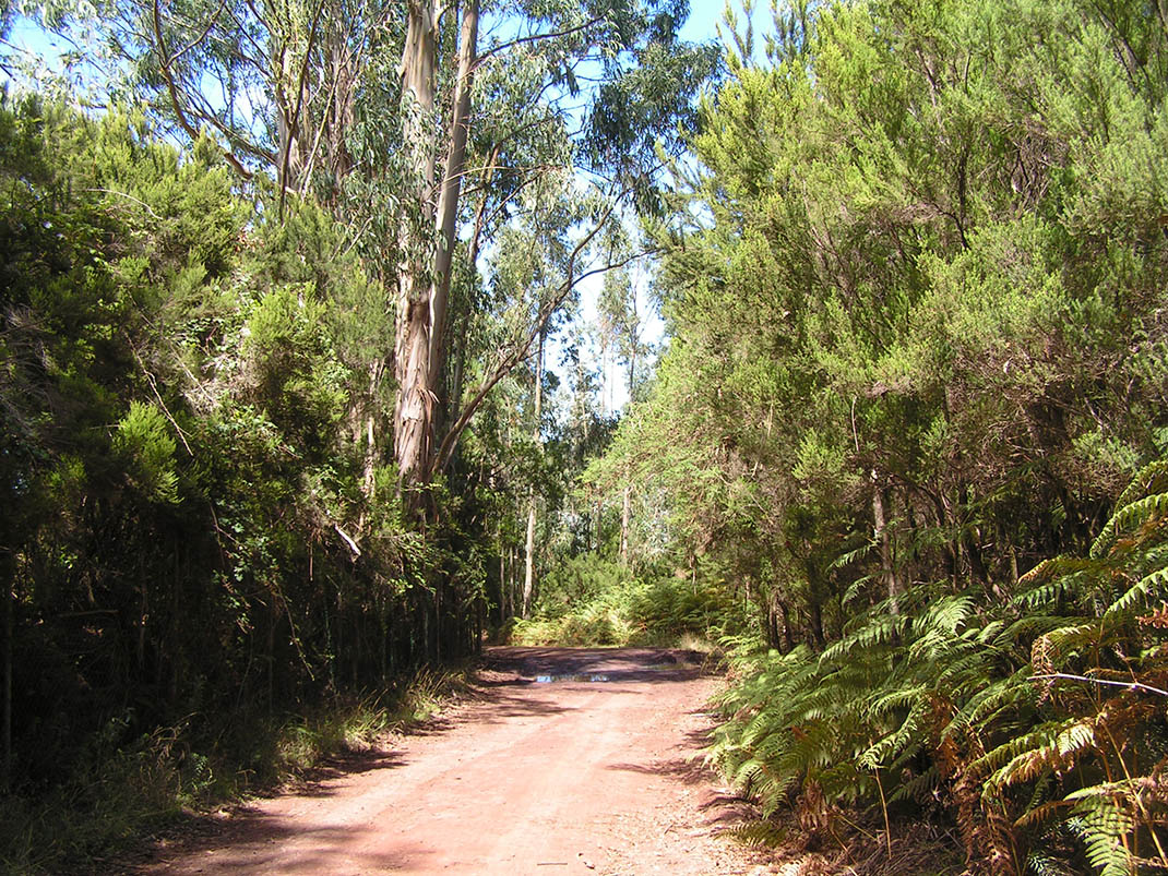
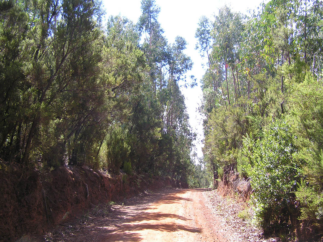
This route runs through stands of eucalyptus and tree heath that grow on rural properties within the Las Lagunetas Protected Landscape. 

On the route you will see how ferns and brambles invade the edges of the track in search of sunshine. And as you advance, the faya (Morella faya) and acebiño (Ilex canariensis) start to emerge alongside the tree heath (Erica arborea), before you finally enter the humid pine forest. 

Amidst the trees you will also see the flowers of granadillo or Canary Islands St. John’s wort (Hypericum canariense), malfurada (Hypericum grandifolium) and cresta de gallo (Isoplexis canariensis), as well as chaffinches, blue chaffinches, woodpeckers and even sparrowhawks soaring over the forest. 

In addition, in the more open areas you will be treated to beautiful panoramic views of the pine forests and monteverde that cloak the landscape in this area.

Tips

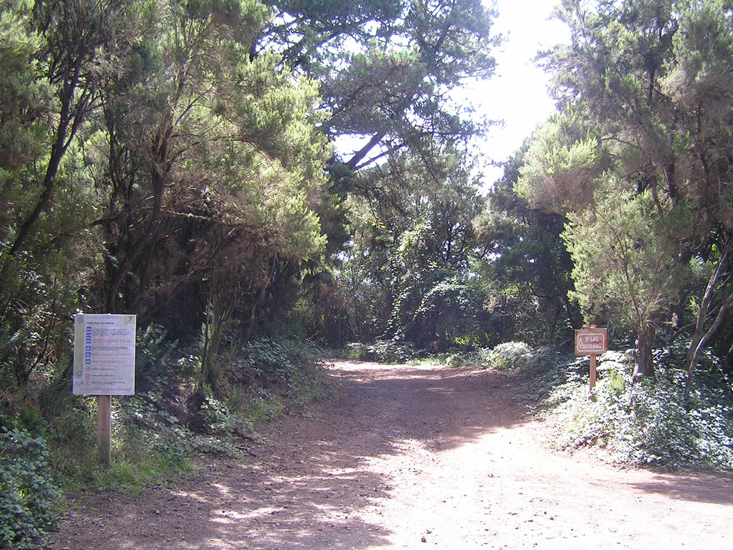
  • Always stay on the marked trail observing all traffic rules established in the regulations. 
  • When parking, keep away from water intakes or firefighting water storage tanks, and do not block the passage of other vehicles or access to the track.
  • Be extra careful both at junctions with paths and tracks and on sections shared by walkers, horse riders and cyclists. 
  • Proceed with care to avoid accidents that may be caused by obstacles, landslides and uneven terrain. 
  • Check our guide to motor vehicle routes and, if necessary, contact the emergency services by calling 112.
Recommendations and tips

Guides

No data available

Permits

Prior authorisation through the Reservation Centre of the Tenerife Island Council is compulsory for the following vehicles:

  • Trials, enduro and motocross bikes.
  • ATVs and quads with a handlebar steering system.
  • Off-road vehicles with tyres of 10 to 15mm tread depth.
  • Power-assisted pedal cycles with a power output of more than 0.5 kW, to supplement the muscle power of the rider.
  • Caravan of up to six motor vehicles in motion with a maximum distance of 30 metres separating them.

Check the Regulations for information on prohibited vehicles.

No reservations are required for other vehicles, provided that they meet the recreational use requirements for this network of trails.

More information

Technical information sheet

Route information

Motor vehicle route

Tenerife ON

Linear

2,40 km

0 h 15 m

2,40 m

189,28 m

At an average speed of 15 km/h

  • Altitude gain:2,40 m

  • Altitude loss:189,28 m

  • Maximum altitude:1.289,26 m

  • Minimum altitude:1.102,38 m

Signage

Route code

VM-7

Tracks for motor vehicles are marked with blue signs and posts that include:

  • Direction.
  • Route number.
  • Distance to end point.
Signage

Route map and profile

Elevation profile

  • Maximum altitude:1.289,26 m

  • Minimum altitude:1.102,38 m

Connections with other routes

How to get to route end point

Junction with Pista del Rayo (VM 4 and VM 5).

Municipalities passed through

  • El Rosario
  • Tacoronte

Protected Areas

Transit

Paisaje Protegido de Las Lagunetas

The Las Lagunetas Protected Landscape is situated on the north side of the Pedro Gil ridge, in the north-east of Tenerife.  This ridge was formed over the course of numerous phases of eruption less ...

Discover the Protected Area
Paisaje Protegido de Las Lagunetas

Weather

Today, monday, in El Rosario


Clouds
Wind

6 km/h

Temperature

13ºC Maximum

11ºC Minimum

Rain

0%

3 day forecast

tuesday

13ºC Maximum

10ºC Minimum

wednesday

14ºC Maximum

11ºC Minimum

thursday

14ºC Maximum

11ºC Minimum