ePrivacy and GPDR Cookie Consent management by TermsFeed Privacy Policy and Consent Generator BC-1.4 Las Lagunetas

BC-1.4 Las Lagunetas

BC-1.4

Las Lagunetas Protected Landscape, extension of route BC 1 from the Los Canales rest area to the centre of Las Lagunetas.

Incident Incident

Route temporarily closed - Warnings (fire, wind, etc.)

Itinerario cerrado debido al incendio forestal del verano de 2023. Abierto desde el cruce con la TF 24 hasta casa Don Leandro.

Route temporarily closed - Warnings (fire, wind, etc.)

Itinerario cerrado debido al incendio forestal del verano de 2023. Abierto desde el cruce con la TF 24 hasta casa Don Leandro.

Route temporarily closed - Warnings (fire, wind, etc.)

Itinerario cerrado debido al incendio forestal del verano de 2023. Abierto desde el cruce con la TF 24 hasta casa Don Leandro.

Route temporarily closed - Warnings (fire, wind, etc.)

Itinerario cerrado debido al incendio forestal del verano de 2023. Abierto desde el cruce con la TF 24 hasta casa Don Leandro.

Las Lagunetas
Las Lagunetas
Las Lagunetas
Las Lagunetas
Las Lagunetas
Las Lagunetas

Description

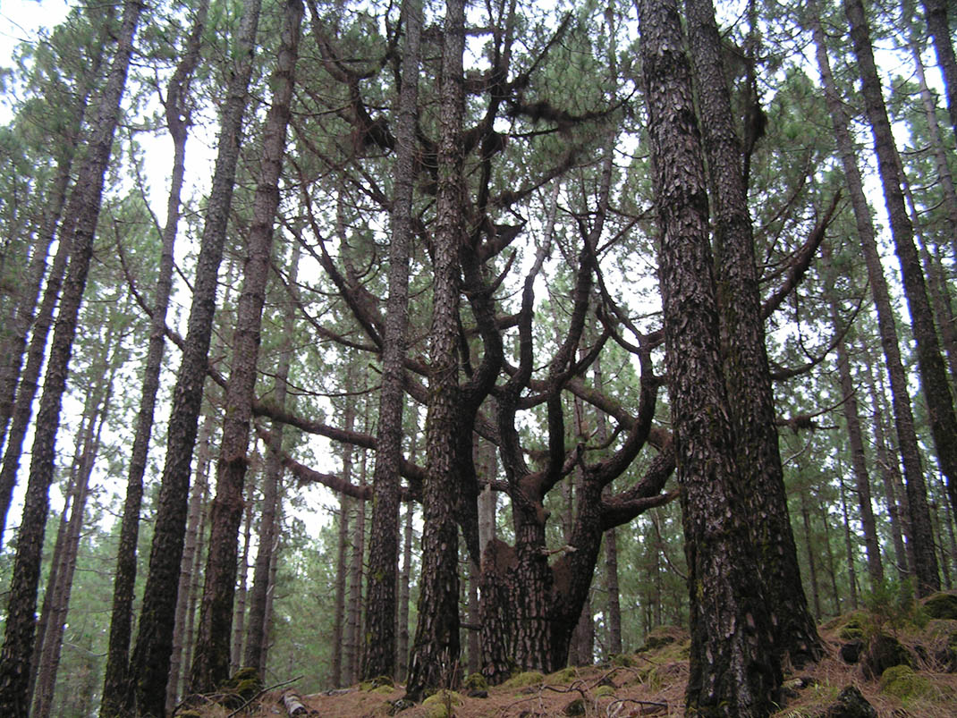
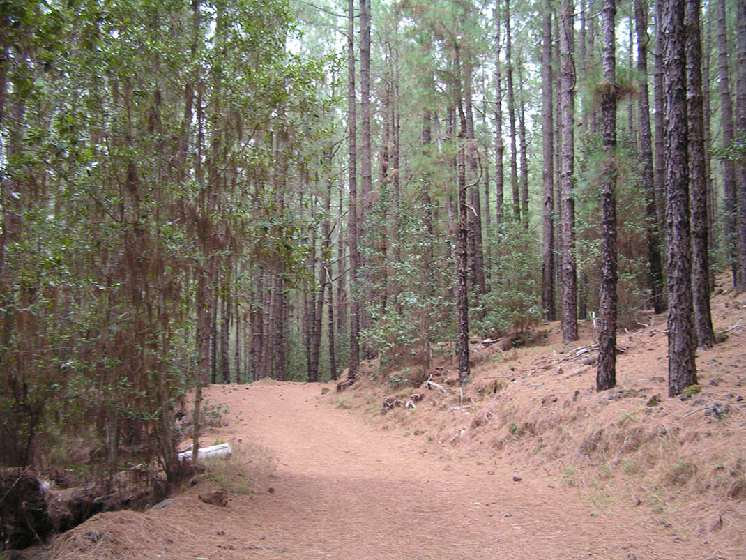
An inviting route taking you through a dense forest of Canary Island pine, replanted in the mid-20th century in the Las Lagunetas Protected Landscape.

The trail begins in El Llano de Las Lagunetas, at the meeting point of 5 municipalities (El Rosario, Candelaria, El Sauzal, La Matanza and La Victoria de Acentejo). This location, alongside the many fields for grazing, agriculture and a few buildings, make it a popular natural spot for leisure activities. 

It is also the site of the La Esperanza former forestry house, used nowadays as the reception area for a tree tops rope course. 

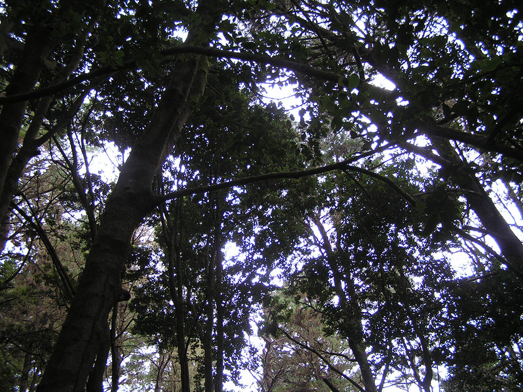
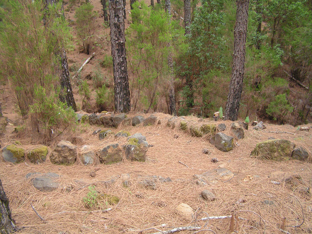
As this is one of the most dense Canary Island pine forests on the island, many trees die due to the lack of light; therefore forest management staff regularly carry out controlled felling. As you reach lower altitudes, you will notice that the moisture-laden trade winds favour undergrowth containing monteverde species, such as tree heath (Erica arborea), faya (Morella faya) and acebiño (Ilex canariensis).

IBP Index: 8.

Tips

  • Always stay on the marked trail and do not enter private property, hunting grounds, water galleries, wells or caves.  
  • Be careful when walking along roads used by motor vehicles and hiking trails, and when crossing ravines with water courses.
  • Avoid direct encounters with potentially dangerous animals, such as livestock, beehives, and dogs. 
  • Proceed with caution and watch for obstacles, loose rocks, uneven terrain or steep slopes to avoid accidents and falls. 
  • Consult our good practice guide and, if necessary, contact emergency services by calling 112.
Recommendations and tips

Guides

No data available

Permits

  • Reservation obligatory for groups organised by for-profit and not-for-profit public and private entities and profit-making individuals. Link
  • T: 901 501 901 - 922 239 500.
  • Free access for all other users, alone or in a group, no reservation required.

Technical information sheet

Route information

Cycling and horse riding route

Tenerife ON

Linear

6,25 km

0 h 30 m

366,03 m

207,75 m

At an average speed of 14 km/h

  • Altitude gain:366,03 m

  • Altitude loss:207,75 m

  • Maximum altitude:1.414,52 m

  • Minimum altitude:1.250,61 m

Signage

Route code

BC-1.4

Orange posts and signs that include:

  • Official trail number.
  • Route direction.
  • Distance to points of interest.
  • Cyclist and horserider icons.
Signage

Route map and profile

Elevation profile

  • Maximum altitude:1.414,52 m

  • Minimum altitude:1.250,61 m

Connections with other routes

How to get to route start point

Route BC 1, Pino del Carretón trail, intersection with the Punta La Pista trail, La Victoria de Acentejo.

No nearby service.

No parking spaces in the area.

How to get to route end point

Carretera General de La Esperanza (TF-24), km 16.5, Las Lagunetas, El Rosario.

No nearby service.

Parking spaces available in the centre of Las Lagunetas.

Municipalities passed through

  • El Rosario
  • El Sauzal
  • La Matanza de Acentejo
  • La Victoria de Acentejo

Protected Areas

Transit

Paisaje Protegido de Las Lagunetas

The Las Lagunetas Protected Landscape is situated on the north side of the Pedro Gil ridge, in the north-east of Tenerife.  This ridge was formed over the course of numerous phases of eruption less ...

Discover the Protected Area
Paisaje Protegido de Las Lagunetas

Weather

Today, monday, in La Matanza de Acentejo


Clouds
Wind

8 km/h

Temperature

18ºC Maximum

17ºC Minimum

Rain

0%

3 day forecast

tuesday

19ºC Maximum

16ºC Minimum

wednesday

20ºC Maximum

17ºC Minimum

thursday

20ºC Maximum

18ºC Minimum