ePrivacy and GPDR Cookie Consent management by TermsFeed Privacy Policy and Consent Generator BC-1.7 La Orilla del Monte

BC-1.7 La Orilla del Monte

BC-1.7

Extension of route BC1 that takes the Luciano or Los Caballos trail in parallel to the Benijos trail above La Orotava Valley.

La Orilla del Monte
La Orilla del Monte
La Orilla del Monte
La Orilla del Monte
La Orilla del Monte
La Orilla del Monte

Description

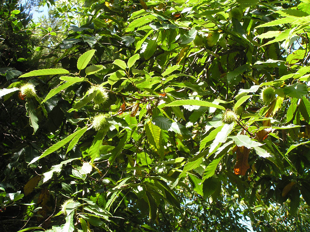
This route through the lower part of La Orotava will take you back in time to our original monteverde landscapes.

After years of intensive agricultural use by local residents, the Island Council decided to regulate the monteverde forest in this area to allow for its recovery and the sustainable use of the island’s natural resources. 

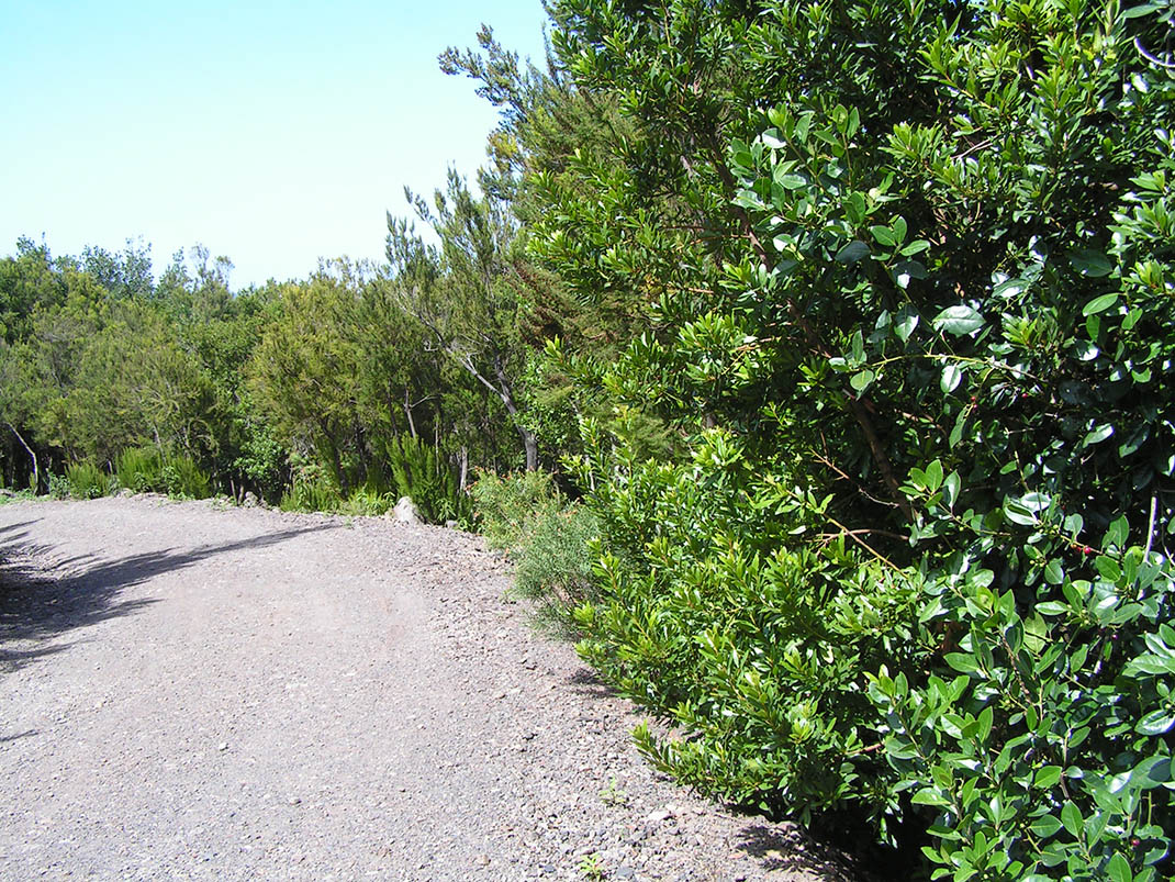
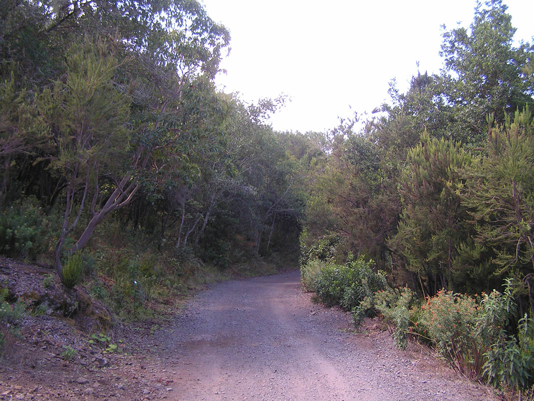
As a result, you can now enjoy this restored natural environment today. Dense woodland intermingles with cool natural canopies and sections that open out to impressive views of the slopes of La Resbala.

IBP Index: 2.

Tips

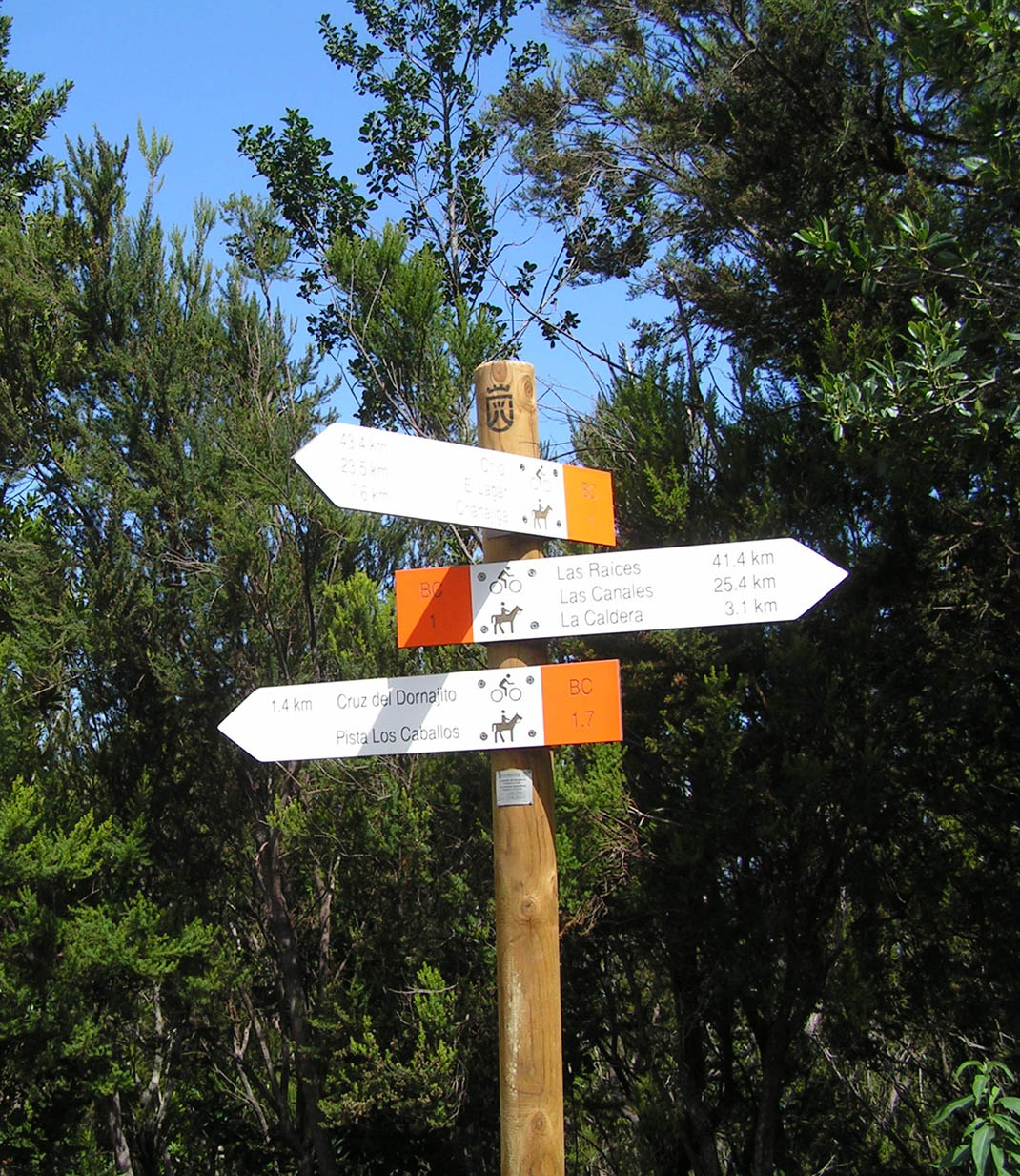
  • Always stay on the marked trail and do not enter private property, hunting grounds, water galleries, wells or caves.  
  • Be careful when walking along roads used by motor vehicles and hiking trails, and when crossing ravines with water courses.
  • Avoid direct encounters with potentially dangerous animals, such as livestock, beehives, and dogs. 
  • Proceed with caution and watch for obstacles, loose rocks, uneven terrain or steep slopes to avoid accidents and falls. 
  • Consult our good practice guide and, if necessary, contact emergency services by calling 112.
Recommendations and tips

Guides

No data available

Permits

  • Reservation obligatory for groups organised by for-profit and not-for-profit public and private entities and profit-making individuals. Link
  • T: 901 501 901 - 922 239 500.
  • Free access for all other users, alone or in a group, no reservation required.

Technical information sheet

Route information

Cycling and horse riding route

Tenerife ON

Linear

4,36 km

0 h 20 m

114,24 m

132,83 m

At an average speed of 14 km/h

  • Altitude gain:114,24 m

  • Altitude loss:132,83 m

  • Maximum altitude:1.133,24 m

  • Minimum altitude:1.052,35 m

Signage

Route code

BC-1.7

Orange posts and signs that include:

  • Official trail number.
  • Route direction.
  • Distance to points of interest.
  • Cyclist and horserider icons.
Signage

Route map and profile

Elevation profile

  • Maximum altitude:1.133,24 m

  • Minimum altitude:1.052,35 m

Connections with other routes

  • /

How to get to route start point

Route BC 1, La Caldera Recreational Area, start of the Luciano/Los Caballos trail, Carretera de la Orotava (TF-21), km 16.2.

Bus numbers 345 and 346, La Caldera bus stop code 4253. TITSA

Parking spaces available in the La Caldera Recreational Area.

How to get to route end point

End of the Luciano/Los Caballos trail, intersection with the Benijos trail, La Orotava.

No nearby service.

No parking area nearby.

Municipalities passed through

  • La Orotava

Protected Areas

Transit

Parque Natural de la Corona Forestal

The Corona Forestal is the largest protected natural area in the Canary Islands, one of the most extensive forests on the islands, the lungs of Tenerife and the gateway to Mount Teide.  As its name ...

Discover the Protected Area
Parque Natural de Corona Forestal

Weather

Today, friday, in La Orotava


Clouds
Wind

3 km/h

Temperature

21ºC Maximum

17ºC Minimum

Rain

0%

3 day forecast

saturday

21ºC Maximum

16ºC Minimum

sunday

20ºC Maximum

15ºC Minimum

monday

21ºC Maximum

16ºC Minimum