ePrivacy and GPDR Cookie Consent management by TermsFeed Privacy Policy and Consent Generator VM 19. Pista Fuente Santa

VM 19. Pista Fuente Santa

VM-19

19.- Pista Fuente Santa

Description

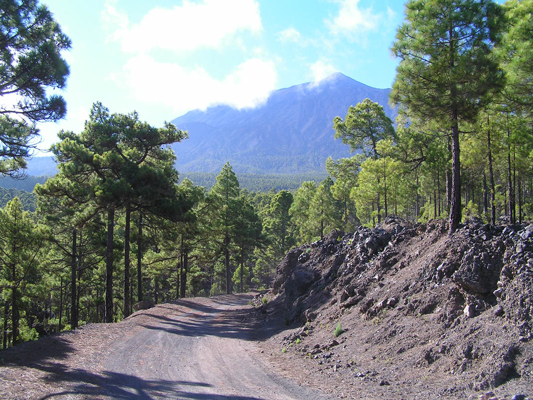
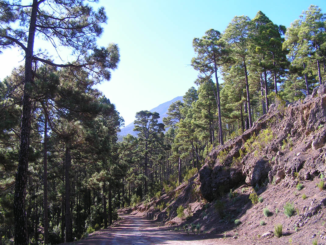
This route takes you through the humid pine forest of Icod, along the slopes that descend from Mount Teide and which are often shrouded in a sea of clouds. 

This pine forest has two layers: 

The first consists exclusively of Canary Island pines, with trees that have naturally regenerated after the forest was cleared, mixed with other large pines known as “parent trees”, the source of the seeds that produced the newer specimens. 

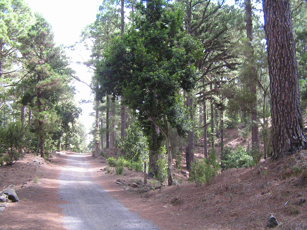
The first layer of vegetation comprises faya (Morella faya), tree heath (Erica arborea), acebiño (Ilex canariensis) and laurel (Laurus novocanariensis), accompanied in turn by many other species that contribute to the forest’s great biodiversity. Here you can spot birds such as the blue chaffinch, the great spotted woodpecker, the sparrowhawk, the kestrel and the buzzard. 

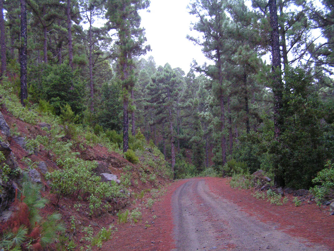
In this area, as in other parts of the island, pine needle harvesting is common: the needles of pine trees that have fallen to the ground are collected for use in agriculture or livestock farming.

Tips

  • Always stay on the marked trail observing all traffic rules established in the regulations. 
  • When parking, keep away from water intakes or firefighting water storage tanks, and do not block the passage of other vehicles or access to the track.
  • Be extra careful both at junctions with paths and tracks and on sections shared by walkers, horse riders and cyclists. 
  • Proceed with care to avoid accidents that may be caused by obstacles, landslides and uneven terrain. 
  • Check our guide to motor vehicle routes and, if necessary, contact the emergency services by calling 112.
Recommendations and tips

Guides

No data available

Permits

Prior authorisation through the Reservation Centre of the Tenerife Island Council is compulsory for the following vehicles:

  • Trials, enduro and motocross bikes.
  • ATVs and quads with a handlebar steering system.
  • Off-road vehicles with tyres of 10 to 15mm tread depth.
  • Power-assisted pedal cycles with a power output of more than 0.5 kW, to supplement the muscle power of the rider.
  • Caravan of up to six motor vehicles in motion with a maximum distance of 30 metres separating them.

Check the Regulations for information on prohibited vehicles.

No reservations are required for other vehicles, provided that they meet the recreational use requirements for this network of trails.

More information

Technical information sheet

Route information

Motor vehicle route

Tenerife ON

Linear

14,42 km

1 h 10 m

457,13 m

450,55 m

At an average speed of 15 km/h

  • Altitude gain:457,13 m

  • Altitude loss:450,55 m

  • Maximum altitude:1.217,84 m

  • Minimum altitude:1.008,28 m

Signage

Route code

VM-19

Tracks for motor vehicles are marked with blue signs and posts that include:

  • Direction.
  • Route number.
  • Distance to end point.
Signage

Route map and profile

Elevation profile

  • Maximum altitude:1.217,84 m

  • Minimum altitude:1.008,28 m

Connections with other routes

  • /
  • /

How to get to route start point

El Lagar Recreational Area.

Municipalities passed through

  • Garachico
  • Icod de los Vinos

Protected Areas

Transit

Parque Natural de la Corona Forestal

The Corona Forestal is the largest protected natural area in the Canary Islands, one of the most extensive forests on the islands, the lungs of Tenerife and the gateway to Mount Teide.  As its name ...

Discover the Protected Area
Parque Natural de Corona Forestal

Weather

Today, saturday, in Icod de los Vinos


Clouds
Wind

2 km/h

Temperature

17ºC Maximum

12ºC Minimum

Rain

0%

3 day forecast

sunday

16ºC Maximum

12ºC Minimum

monday

17ºC Maximum

11ºC Minimum

tuesday

17ºC Maximum

12ºC Minimum