ePrivacy and GPDR Cookie Consent management by TermsFeed Privacy Policy and Consent Generator VM 18. Pista de Fuente Pedro

VM 18. Pista de Fuente Pedro

VM-18

18.- Pista de Fuente Pedro

Description

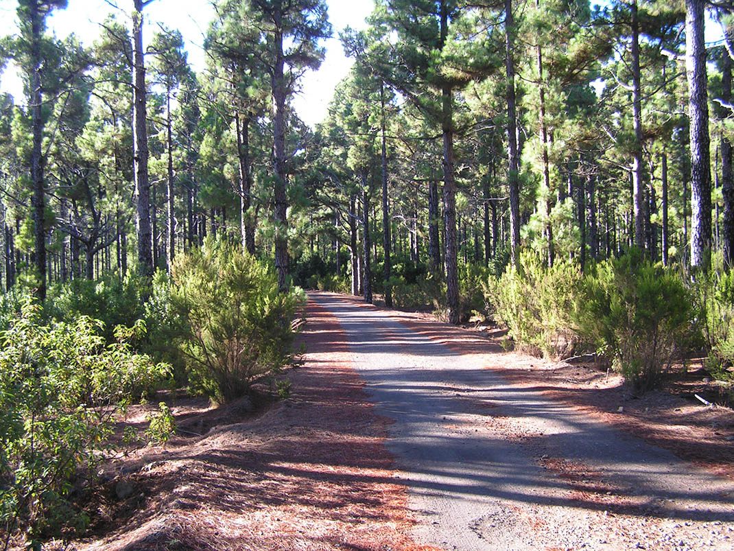
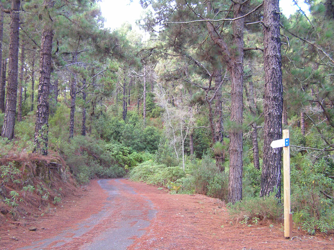
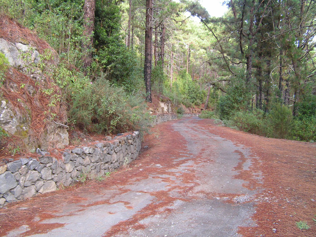
This route passes through areas ravaged by the great fire of 2007, subsequently managed with the aim of restoring the pine forest and its undergrowth. 

The work carried out by the forestry teams included felling Canary Island pines to improve the health of the forest and pruning the tree heath (Erica arborea) and faya (Morella faya) affected by the fire. Today you can already appreciate the considerable size attained by the fayas thanks to these interventions. 

In this area you can also see water infrastructures created to retain the soil and to protect the surrounding recreational and camping areas. 

Next to the stand of pine trees you will find jara (Cistus symphytifolius), a species of rockrose with striking pink flowers, and corazoncillo (Lotus campylocladus), widespread after the fire, carpeting the ground with yellow flowers in the more open areas. 

In the forest you will see blue chaffinches fluttering amongst the trees, woodpeckers pecking at the oldest trunks and even the odd sparrowhawk flying over the tops of the pines.

Tips

  • Always stay on the marked trail observing all traffic rules established in the regulations. 
  • When parking, keep away from water intakes or firefighting water storage tanks, and do not block the passage of other vehicles or access to the track.
  • Be extra careful both at junctions with paths and tracks and on sections shared by walkers, horse riders and cyclists. 
  • Proceed with care to avoid accidents that may be caused by obstacles, landslides and uneven terrain. 
  • Check our guide to motor vehicle routes and, if necessary, contact the emergency services by calling 112.
Recommendations and tips

Guides

No data available

Permits

Prior authorisation through the Reservation Centre of the Tenerife Island Council is compulsory for the following vehicles:

  • Trials, enduro and motocross bikes.
  • ATVs and quads with a handlebar steering system.
  • Off-road vehicles with tyres of 10 to 15mm tread depth.
  • Power-assisted pedal cycles with a power output of more than 0.5 kW, to supplement the muscle power of the rider.
  • Caravan of up to six motor vehicles in motion with a maximum distance of 30 metres separating them.

Check the Regulations for information on prohibited vehicles.

No reservations are required for other vehicles, provided that they meet the recreational use requirements for this network of trails.

More information

Technical information sheet

Route information

Motor vehicle route

Tenerife ON

Linear

4,63 km

0 h 20 m

296,52 m

47,45 m

At an average speed of 15 km/h

  • Altitude gain:296,52 m

  • Altitude loss:47,45 m

  • Maximum altitude:1.288,01 m

  • Minimum altitude:1.038,76 m

Signage

Route code

VM-18

Tracks for motor vehicles are marked with blue signs and posts that include:

  • Direction.
  • Route number.
  • Distance to end point.
Signage

Route map and profile

Elevation profile

  • Maximum altitude:1.288,01 m

  • Minimum altitude:1.038,76 m

Connections with other routes

  • /

How to get to route end point

Pista Barranco de La Arena (VM 17).

Municipalities passed through

  • San Juan de la Rambla

Weather

Today, saturday, in San Juan de la Rambla


Clouds
Wind

1 km/h

Temperature

18ºC Maximum

12ºC Minimum

Rain

0%

3 day forecast

sunday

17ºC Maximum

12ºC Minimum

monday

17ºC Maximum

12ºC Minimum

tuesday

19ºC Maximum

12ºC Minimum