Landscape features on the network of trails.
Tenerife is home to many outstanding landscapes and geomorphological features. This article will highlight some of those that are found on the Tenerife ON network of trails.
Tenerife is home to many outstanding landscapes and geomorphological features. This article will highlight some of those that are found on the Tenerife ON network of trails.
Lunar landscape of Teno Alto: Expanse of rock formations created by solidifying lava and subsequent erosion, reminiscent of the landscapes of the moon.
Related trail:

Pico Baracán: Peak located 1,000 metres above sea level, separating El Palmar valley and the ravine known as Barranco de Los Carrizales.
Related trail:
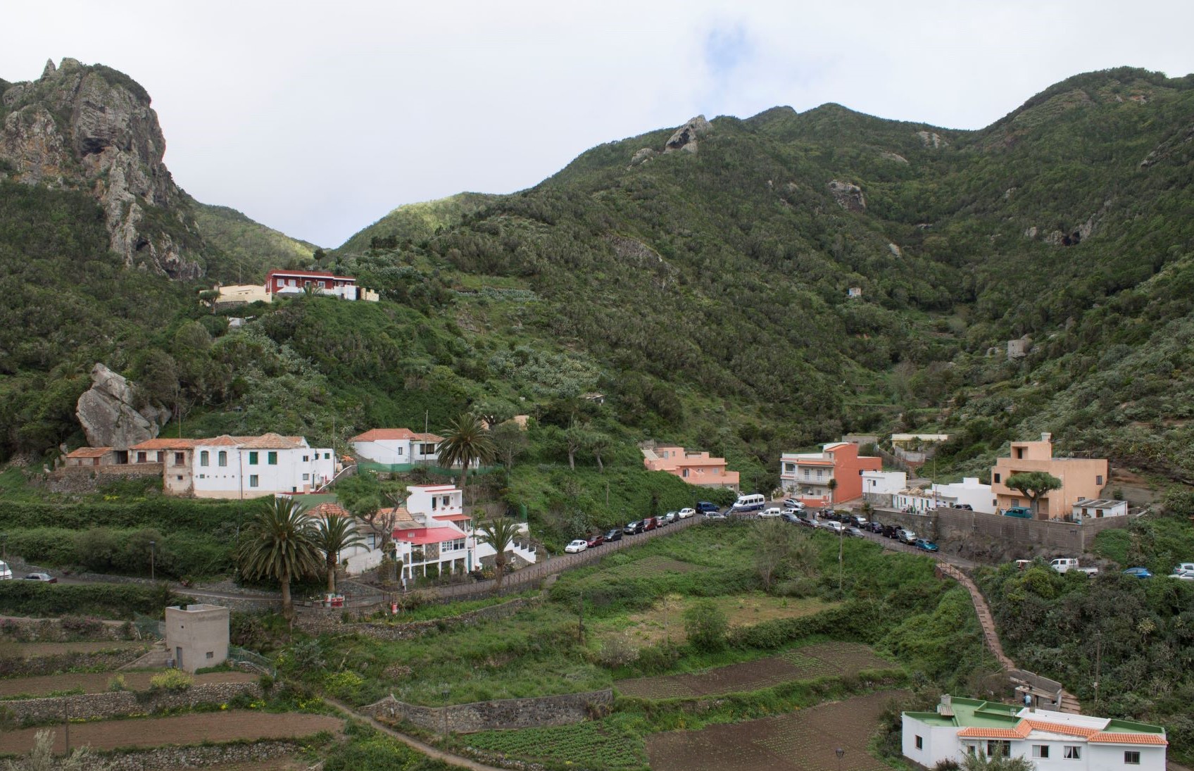
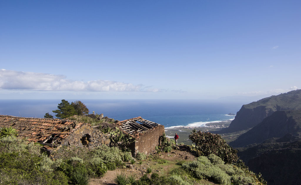
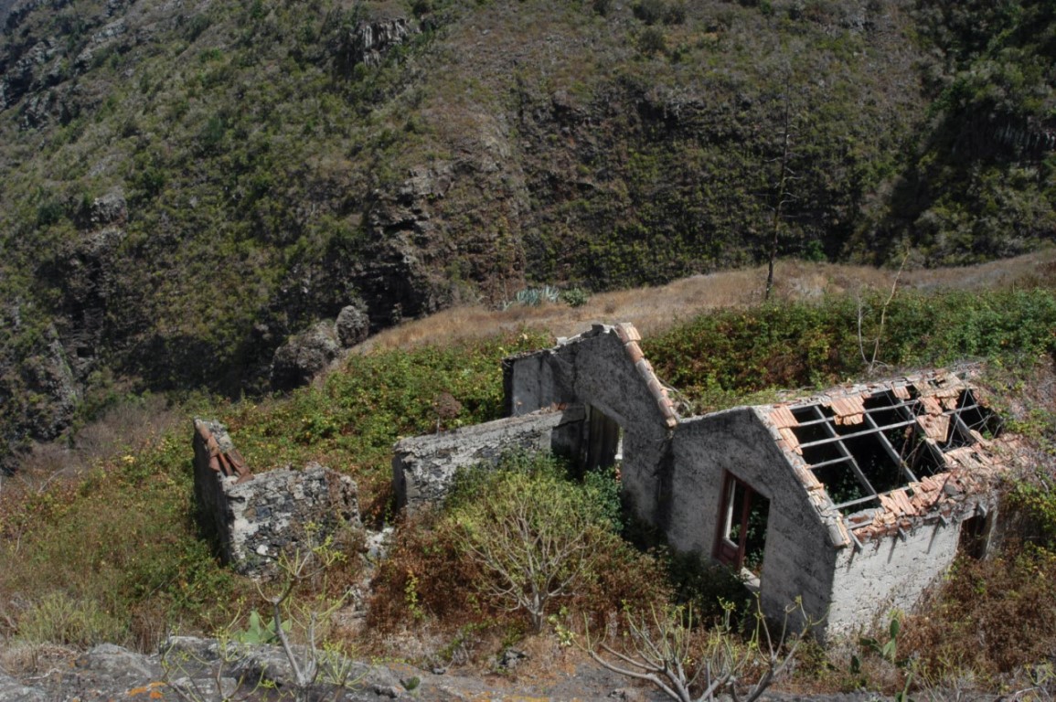
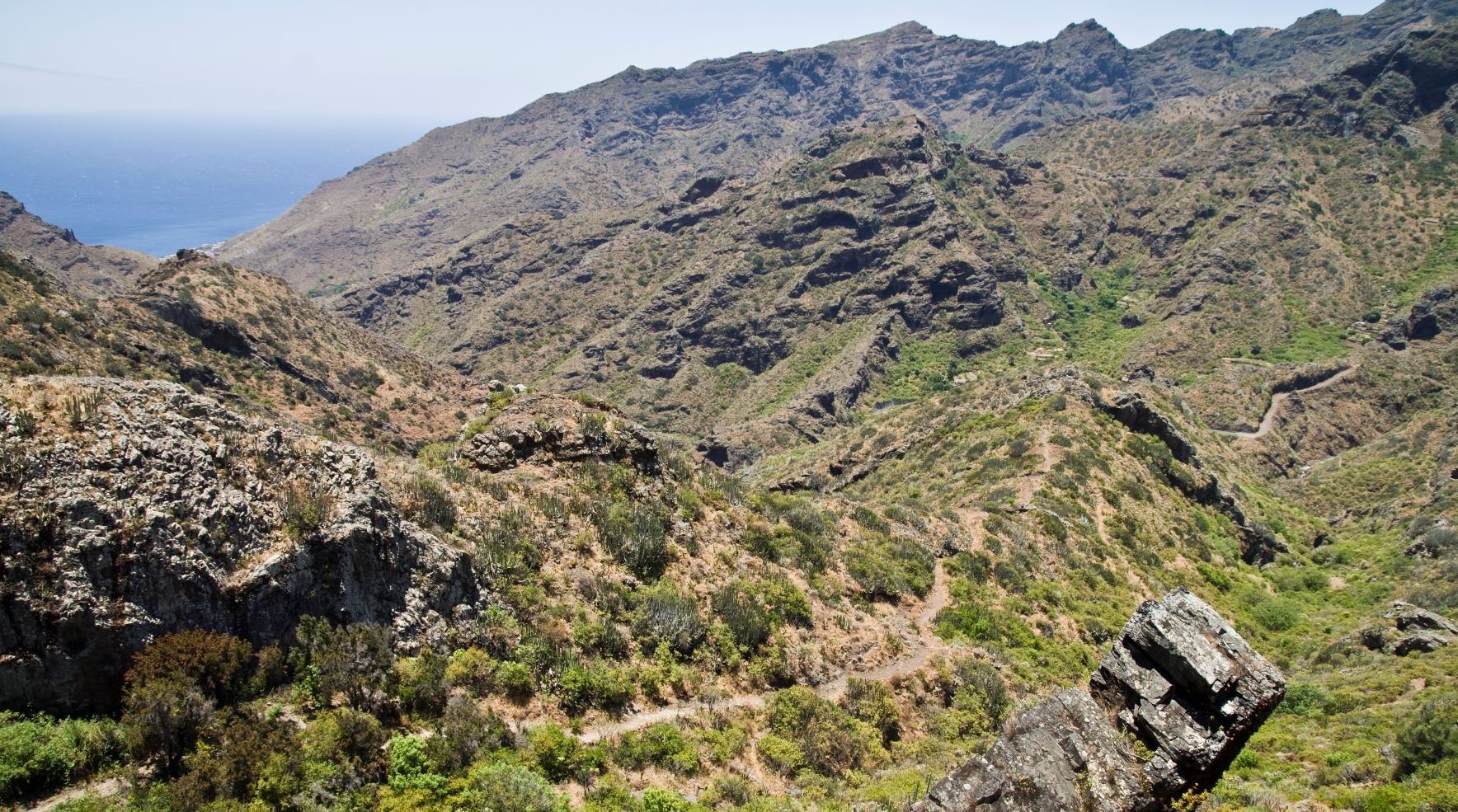
Barranco Cuevas Negras / Barranco del Agua: This ravine is a local landmark that links the town of Los Silos with Monte del Agua, home to the abandoned hamlet of Cuevas Negras.
Related trails:
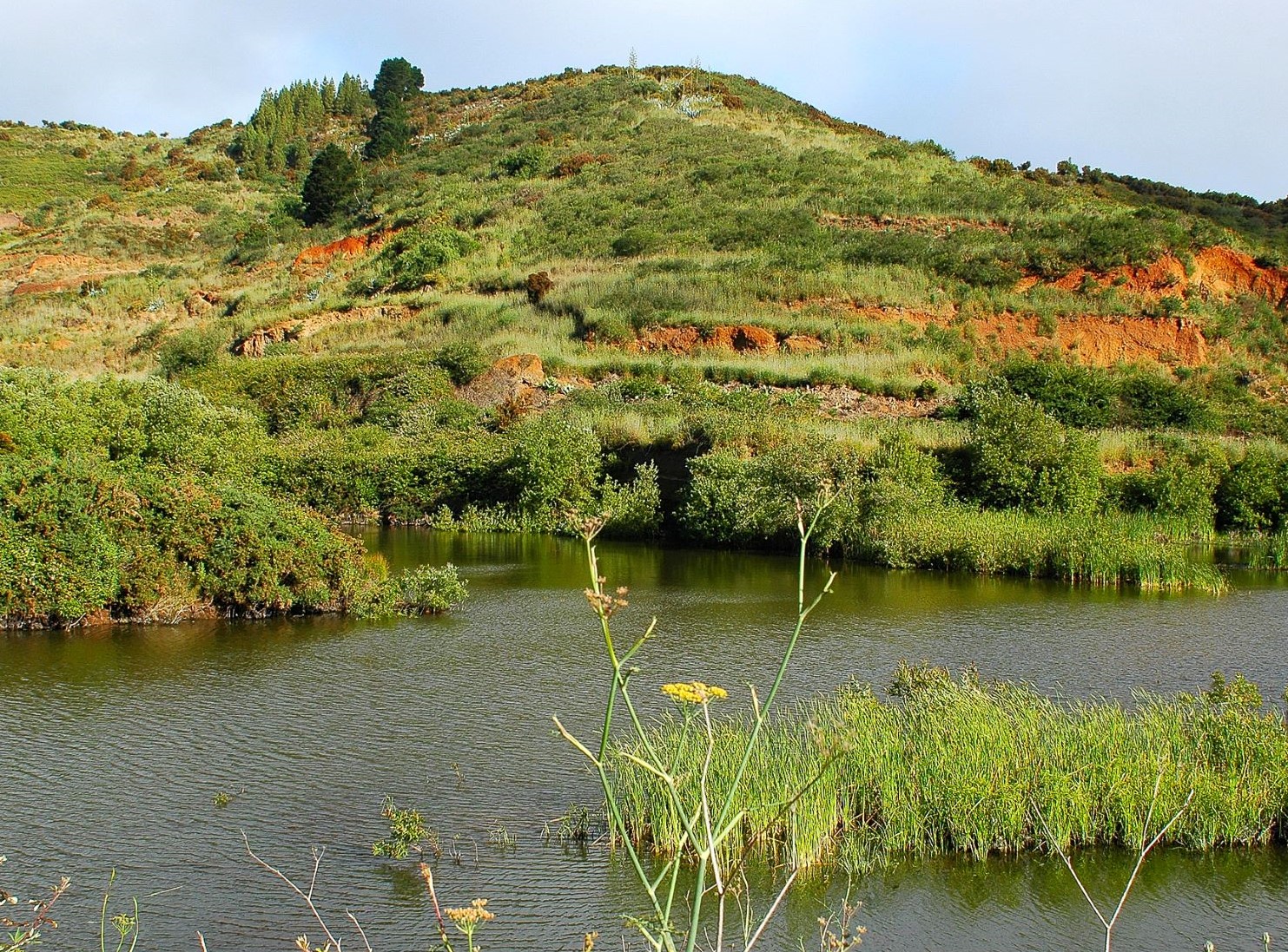
Charcas de Erjos: These ponds are formed by rainwater collecting in pits that were dug to mine aggregates at the end of the 20th century.
Related trail:
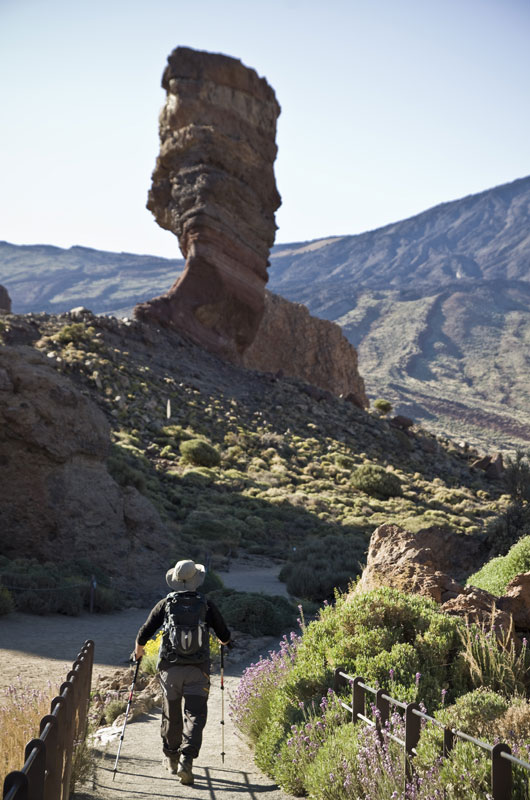
La Zapatilla de la Reina (The Queen’s Slipper): Curious rock formation in the shape of a high-heeled shoe.
Related trail:
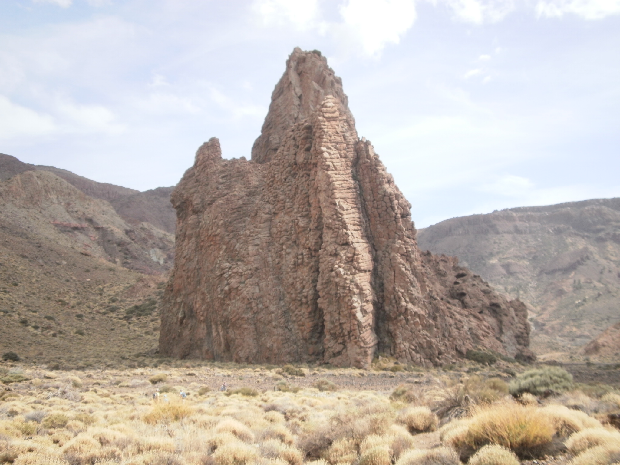
La Catedral (The Cathedral): Volcanic plug that resembles a great modernist cathedral.
Related trails:
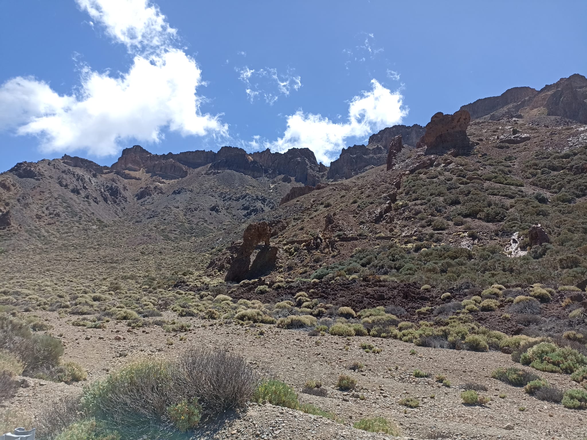
Roques de García: The most famous rock formation in Tenerife, curious shapes engraved in the collective memory of Spain as they featured on the old 1,000 peseta banknotes.
Related trails:
Roque de la Grieta: Rocky summit with striking vertical cracks (“grietas”) that give it its name.
Related trails:

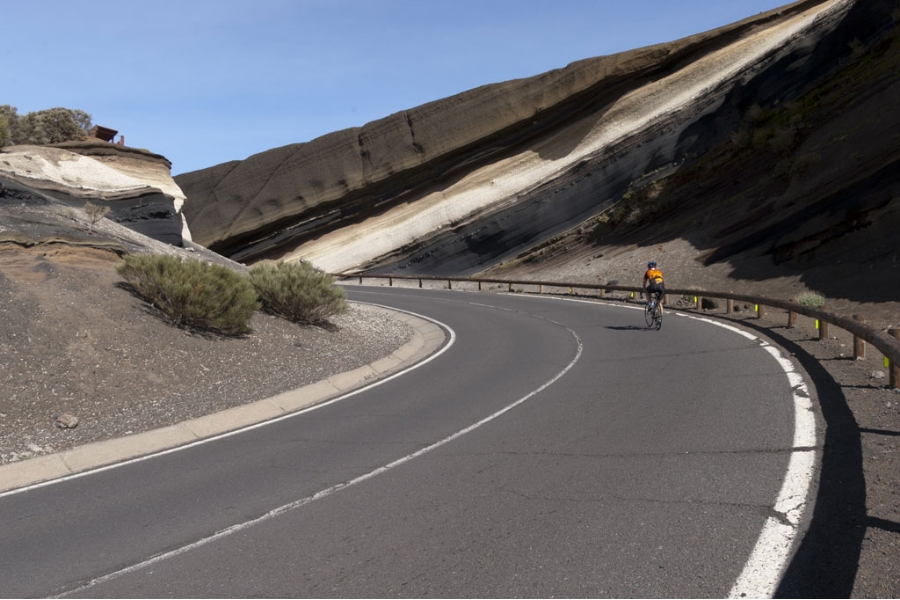
Montaña Blanca. Volcanic cone with a distinctive light-coloured appearance on the slopes of Mount Teide, formed by the accumulation of pumice rock.
Related trails:
- PNT 07 Montaña Blanca – La Rambleta.
- PNT 07.1 Ramal Alto de Montaña Blanca.
- PNT 29 Montaña Rajada.
- PNT 06 Montaña de los Tomillos.
- PR TF 41 Playa del Socorro – Pico Teide (Route 040).
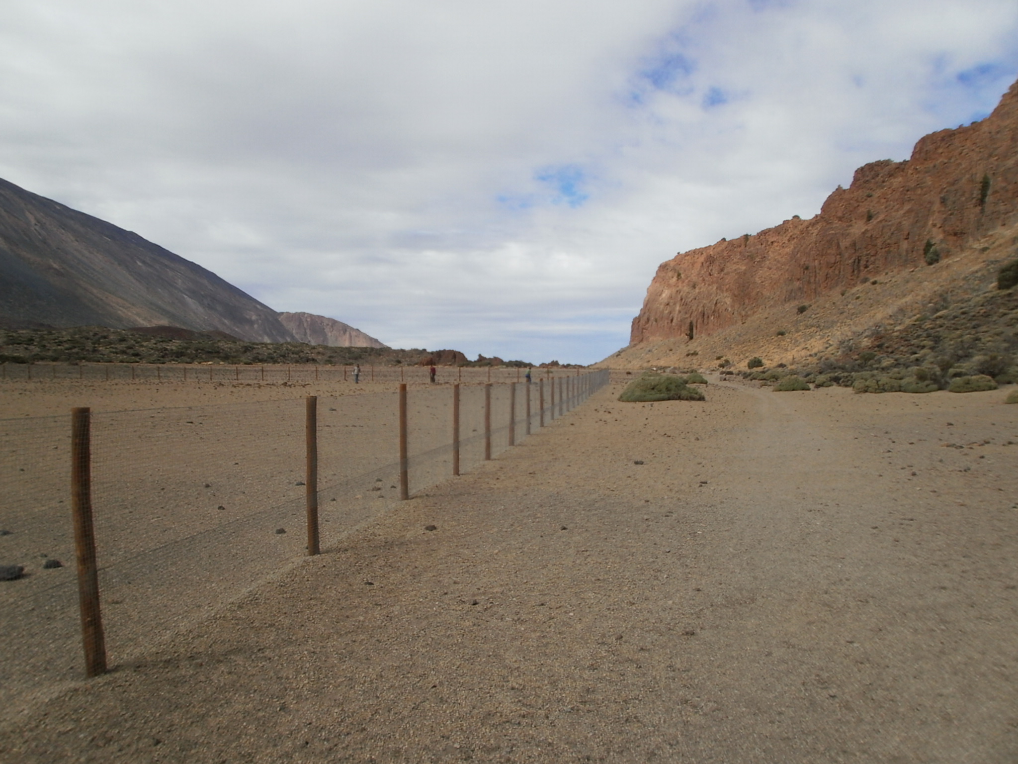
Risco de la Fortaleza: Striking rusty-brown rock formation that is the only remnant left of the ancient Cañadas Edifice in the north of the National Park.
Related trails:
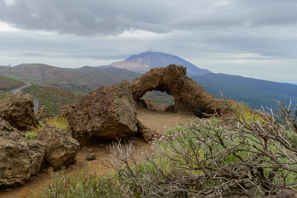
Ventana de Igueque: Natural arch that commands a beautiful panoramic view of Teide.
Related trail:
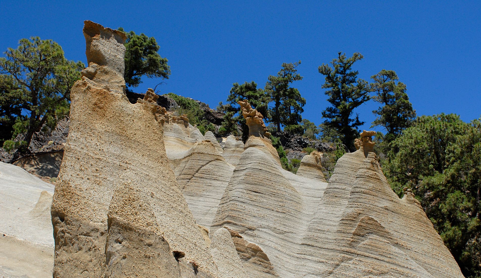
Vilaflor Lunar Landscape: A landscape of light-coloured cones, created by solidified and eroded lava, forming a setting that resembles another planet.
Related trails:
- PR TF 72 Vilaflor – Lunar Landscape – Vilaflor.
- PR TF 83 Altos de Granadilla.
- GR 131 Anaga – Chasna.
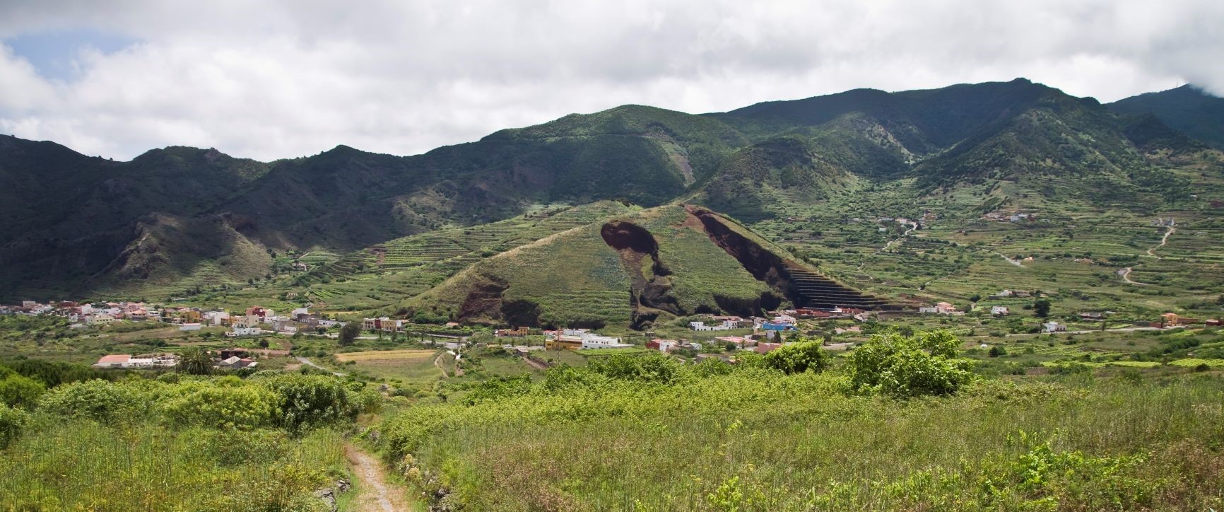
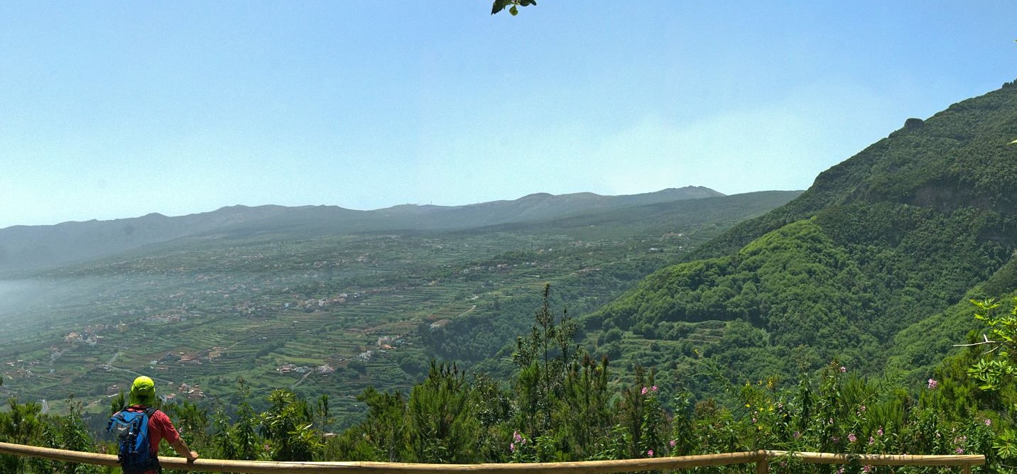
Barranco La Lora: Major ravine in Realejo Alto that runs along the slopes of Tigaiga.
Related trail:
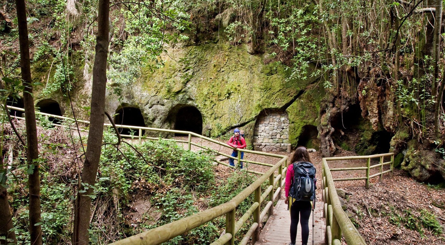
Barranco de Toledo: Well-known ravine in the laurel forest of Agua García featuring the famous Cuevas de Toledo from which trachyte was once quarried for use in glassmaking.
Related trails:
- PR TF 25 Las Raíces – Lomo La Jara.
- PR TF 25.4 Lomo La Jara loop trail.
- Bicycle and horse route BC 1.11 Lomo La Jara.
- Track for Motor Vehicles VM 1 Fuente Fría.
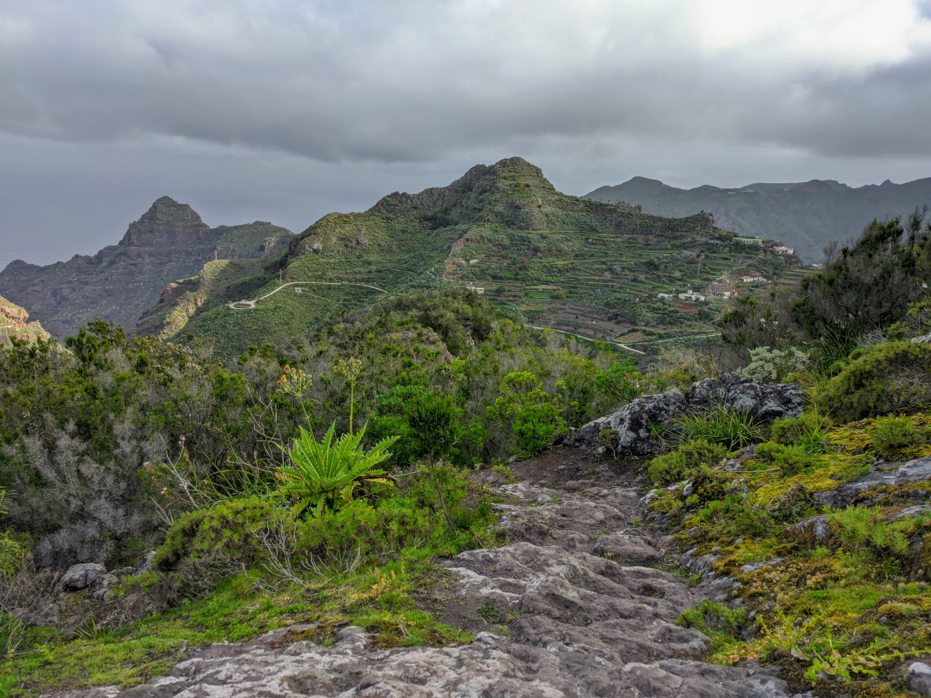
Montaña El Cerro: Landmark for hikers in the area of La Esperanza.
Related trails:
- GR 131 Anaga – Chasna.
- Bicycle and horse route BC 1 Northern Forest route.
- Track for Motor Vehicles VM 4 Pista del Rayo (1).
Barranco del Río / Barranco del Batán: Major ravine in the area known as Los Batanes.
Related trail:
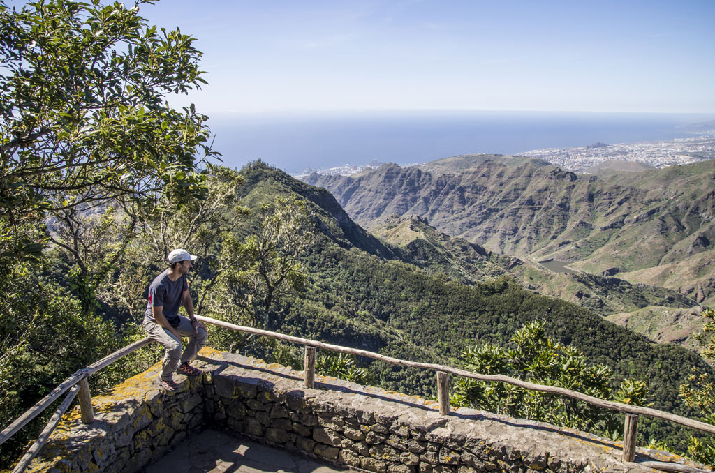
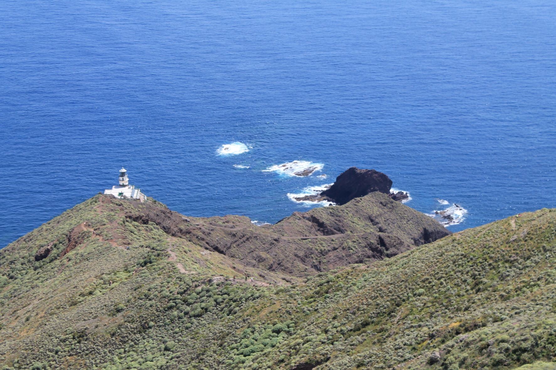
Pico del Inglés: One of the most visited landmarks in the Anaga massif, with a viewpoint boasting spectacular panoramic views. Formerly known as Pico de las Aguilillas.
Related trail:
Barranco Roque Bermejo: Final stretch of the Barranco de Chamorga ravine which ends in a rocky formation on the coast bearing the same name.
Related trail:
Barranco de Afur: This ravine, which ends at Tamadite Beach, is a well-known landmark on the northern slopes of the Anaga Massif.
Related trail:
Barranco de los Auchones: Ravine that gives its name to this old hamlet near to Taganana.
Related trail:
Barranco de Benijo: Ravine that starts at Roque de Anambro and ends at the famous Benijo beach.
Related trails:
- PR TF 06.2 Roque de las Bodegas – Almáciga – Benijo – El Draguillo.
- PR TF 06.3 Benijo – Cruz del Draguillo.
Barranco Igueste de San Andrés. Ravine on the southern slopes of the Anaga Massif, ending at the village of Igueste de San Andrés.
Related trail:
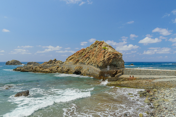
Roque de las Bodegas: This impressive rocky outcrop juts out from a pebble beach overlooked by the neighbourhood of Taganana that bears the same name.
Related trails:
- PR TF 06.2 Roque de las Bodegas – Almáciga – Benijo – El Draguillo.
- PR TF 04.1 Mirador de Amogoje – Almáciga.