ePrivacy and GPDR Cookie Consent management by TermsFeed Privacy Policy and Consent Generator PR TF 25.4 Lomo de La Jara loop trail

PR TF 25.4 Lomo de La Jara loop trail

PR-TF 25.4

Monte de Agua García

Circular Lomo La Jara

Difficulty: Low

Description

A short, easy loop trail through the Agua García forest, one of the island’s best-loved nature spots. 

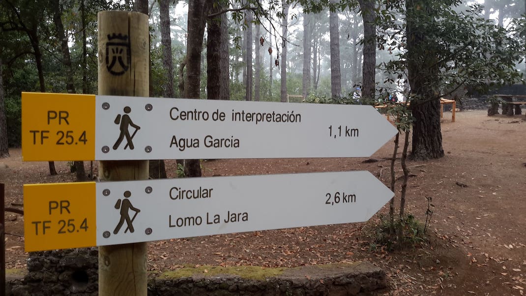
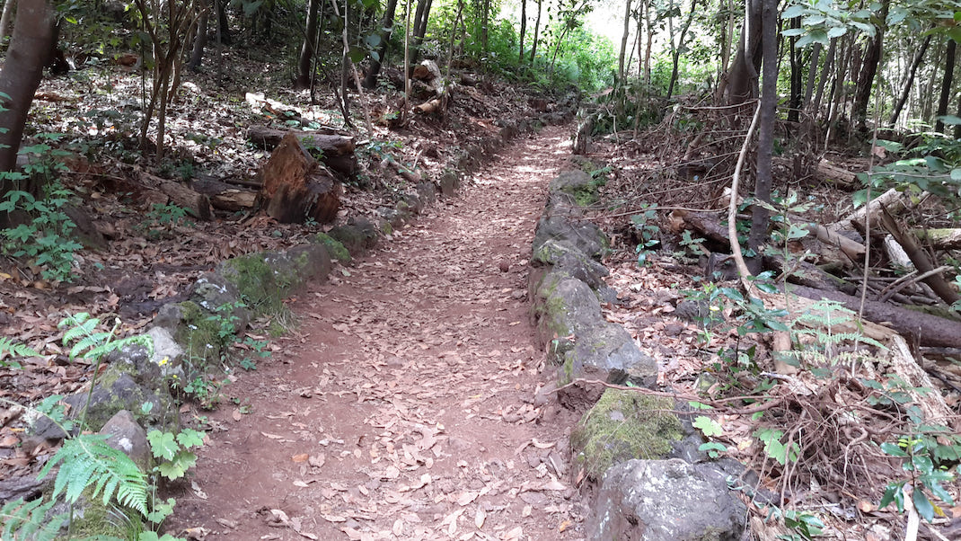
The route starts at the Lomo la Jara recreational area, crossing the wooden fence on the other side of the track. 

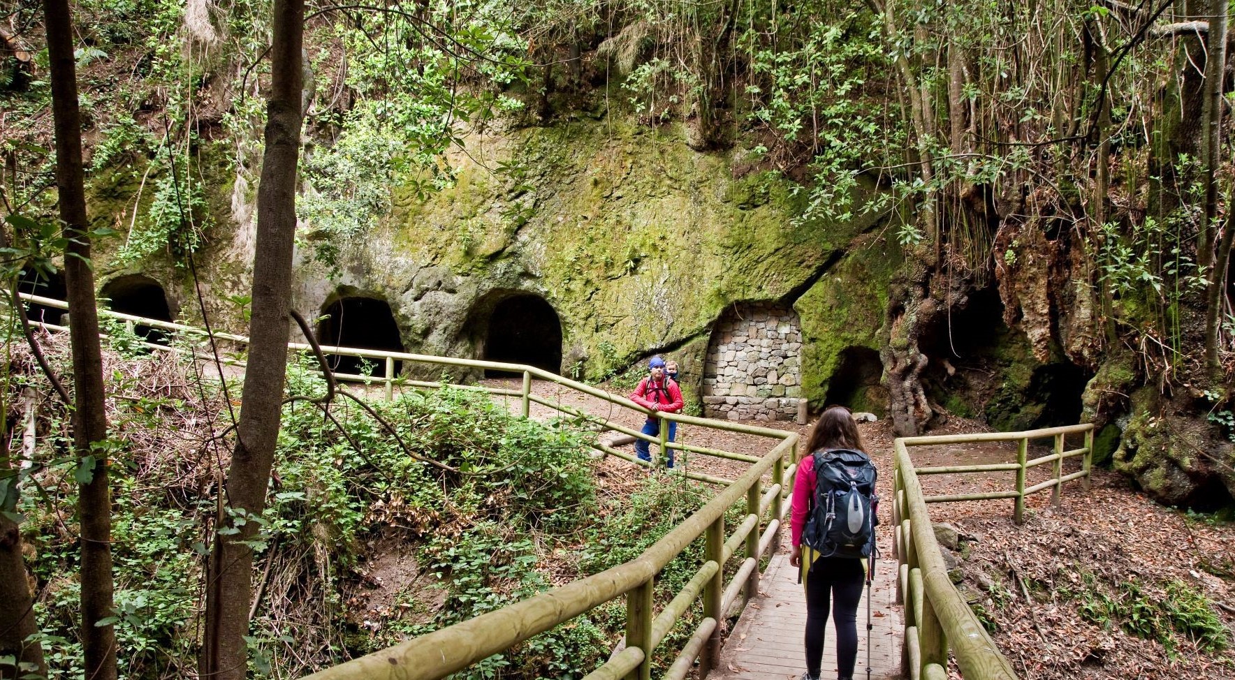
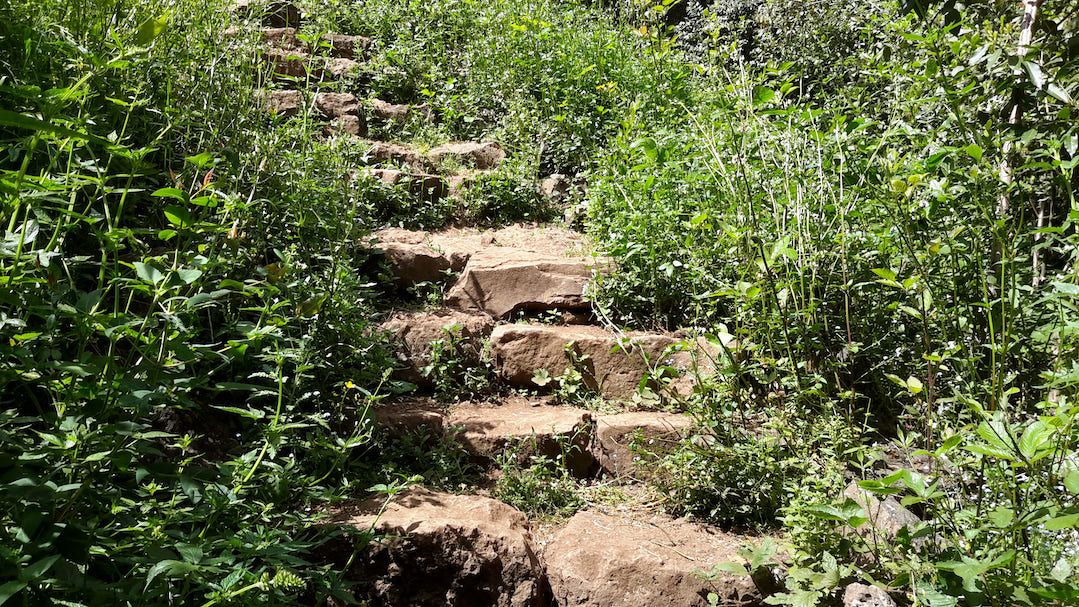
Descend slightly down the path and then take the exit to the left at the first fork. Continue until you come to the Agua García accessible trail and continue walking on its wooden walkways until you reach the Heritage Information Centre. 

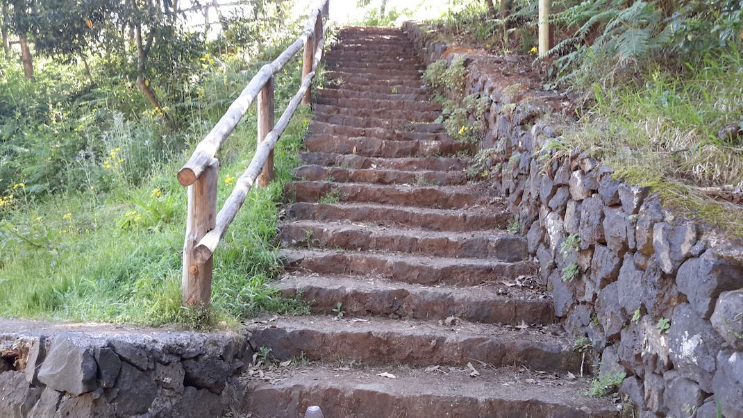
At this point, turn left onto a track that plunges into monteverde forest, which will take you back to the starting point along a slightly steeper final ascent. 

Along the way you will have the opportunity to explore the Guardianes Centenarios (Ancient Guardians) trail and discover these viñatigo (Persea indica) trees that have stood for more than 800 years.

Tips

  • Always stay on the marked trail and do not enter private property, hunting grounds, water galleries, wells or caves. 
  • Pay special attention when crossing or walking along trails used by bicycles, horses or motor vehicles and when walking in ravines with water courses.
  • Avoid direct encounters with potentially dangerous animals, such as livestock, beehives, and dogs.
  • Proceed with caution and watch for obstacles, loose rocks, uneven terrain or steep slopes to avoid accidents and falls. 
  • Check out our guide to hiking in Tenerife and, if necessary, contact the emergency services by calling 112.


Recommendations and tips

Guides

No data available

Permits

  • [TEMPORARY MEASURE] Free access without authorisation or reservation for natural or legal entities of a public or private nature, both non-profit (town councils, schools, associations, clubs, etc.) and for-profit (active tourism companies), until 31 December 2024 as established in the Resolution.
  • Free access for all other visitors, no reservation required.
  • Email for enquiries - This email address is being protected from spambots. You need JavaScript enabled to view it.
More information

Technical information sheet

Route information

Walking route

Tenerife ON

Circular

2,57 km

1 h 0 m

168,75 m

168,75 m

One way with fitness level 3/5

  • Altitude gain:168,75 m

  • Altitude loss:168,75 m

  • Maximum altitude:920,27 m

  • Minimum altitude:813,68 m

Signage

Route code

PR-TF 25.4

Posts and signs displaying the PR code and yellow and white marks.

Signage

Route map and profile

Elevation profile

Difficulty

Low *MIDE safe mountain criteria

  • Maximum altitude:920,27 m

  • Minimum altitude:813,68 m

Connections with other routes

How to get to route start point

Lomo de Jara Recreational Area, Fuente Fría track, from Calle Carril de Millete or from Calle Madre del Agua, in Agua García.

No service in the surrounding area.

Parking spaces in the recreational area, with difficult access by forest track (only authorised vehicles).

How to get to route end point

Lomo de Jara Recreational Area, Fuente Fría track, from Calle Carril de Millete or from Calle Madre del Agua, in Agua García.

No service in the surrounding area.

Parking spaces in the recreational area, with difficult access by forest track (only authorised vehicles).

Municipalities passed through

  • Tacoronte

Protected Areas

Transit

Paisaje Protegido de Las Lagunetas

The Las Lagunetas Protected Landscape is situated on the north side of the Pedro Gil ridge, in the north-east of Tenerife.  This ridge was formed over the course of numerous phases of eruption less ...

Discover the Protected Area
Paisaje Protegido de Las Lagunetas

Weather

Today, friday, in Tacoronte


Clouds
Wind

7 km/h

Temperature

19ºC Maximum

16ºC Minimum

Rain

0%

3 day forecast

saturday

18ºC Maximum

16ºC Minimum

sunday

18ºC Maximum

16ºC Minimum

monday

18ºC Maximum

16ºC Minimum

Places of interest

These are some of the points of interest you can find along this route.

Barranco_Toledo
Ravine

Barranco de Toledo

Small ravine in the laurel forest of Agua García featuring the famous caves from which trachyte...

Vinatigos_Centenarios
Monumental tree

Centennial Viñatigos

Two specimens of viñatigo (Persea indica) surrounded by suckers in the form of a cage....