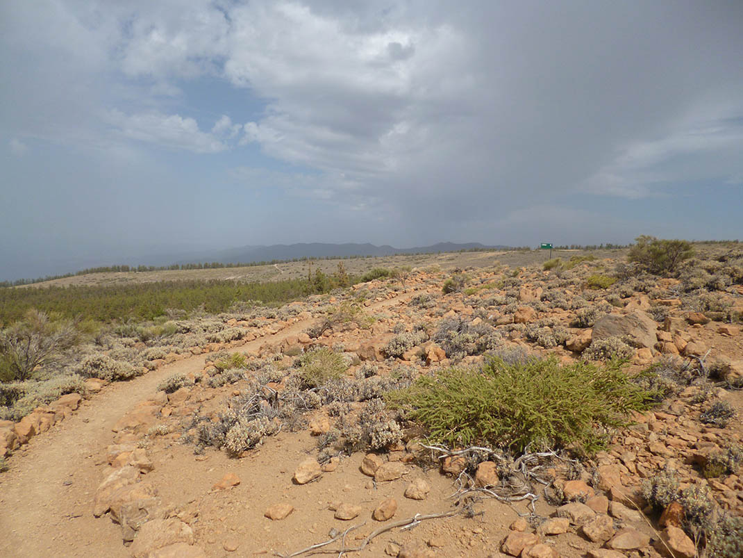
ePrivacy and GPDR Cookie Consent management by TermsFeed Privacy Policy and Consent Generator PNT 36.1 Ramal Alto de La Fortaleza

PNT 36.1 Ramal Alto de La Fortaleza

PNT-36.1

Teide National Park

Ramal Alto de La Fortaleza

Difficulty: Low

Description

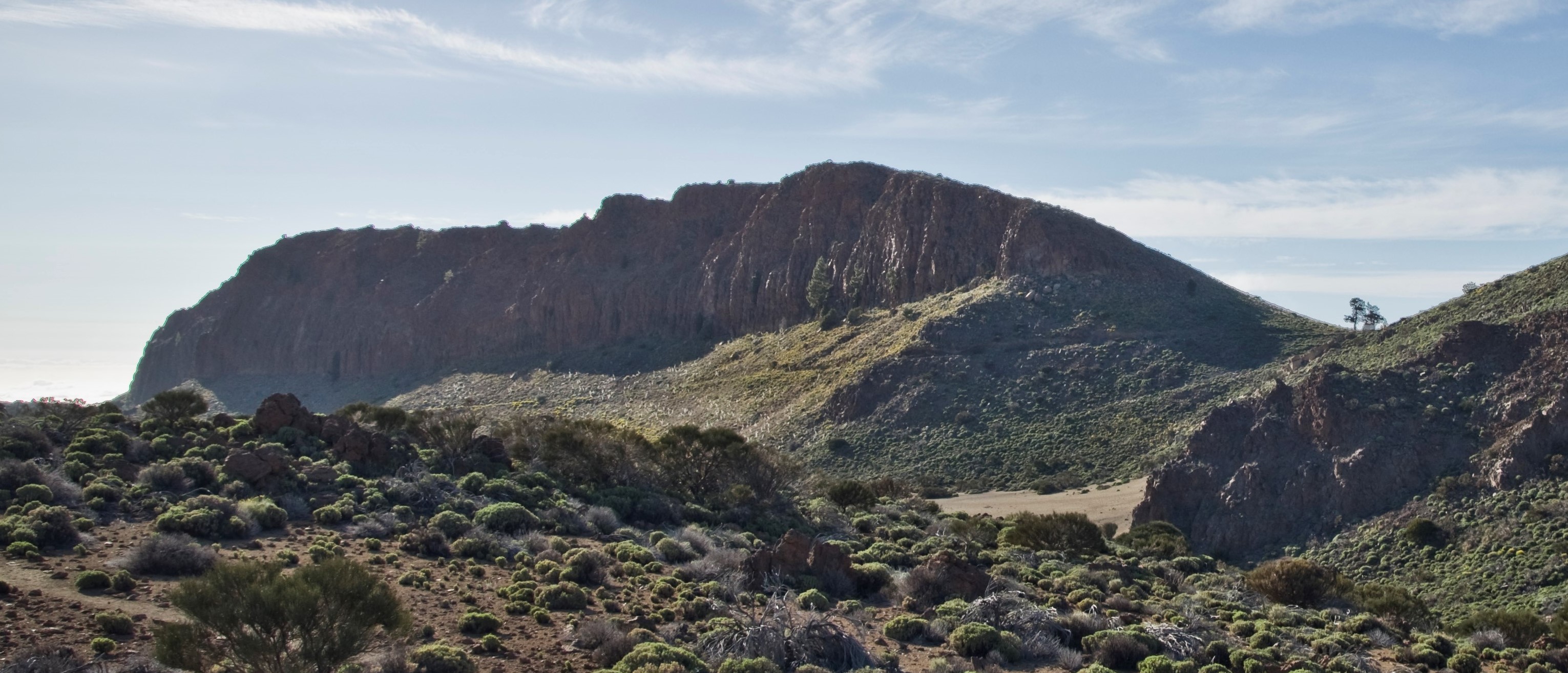
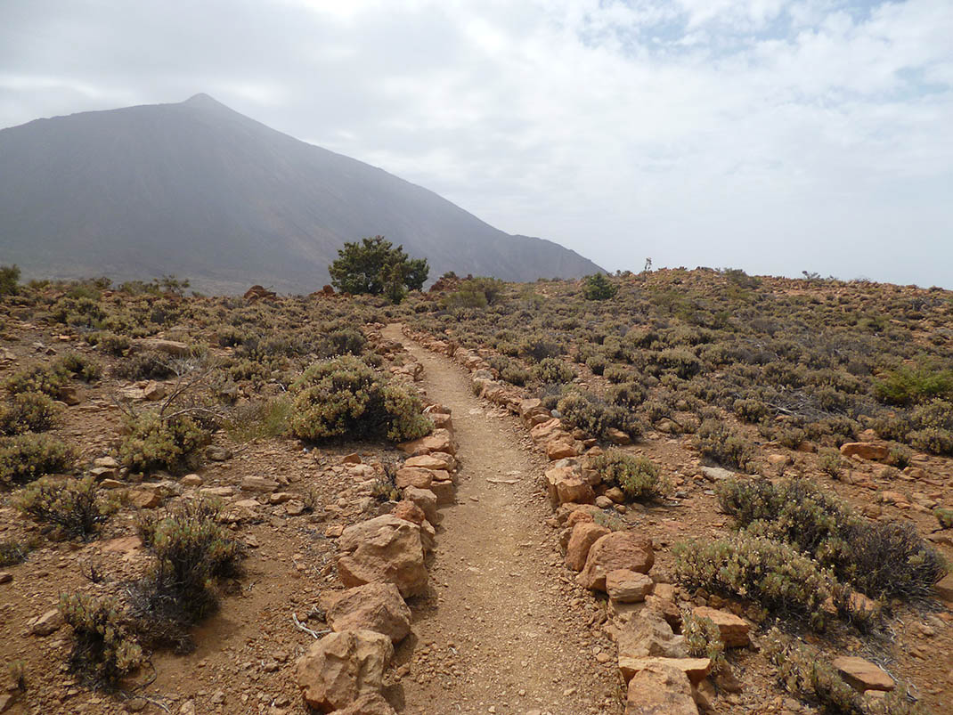
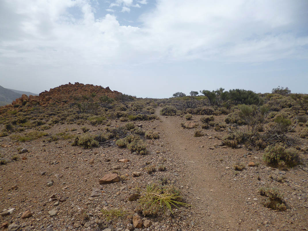
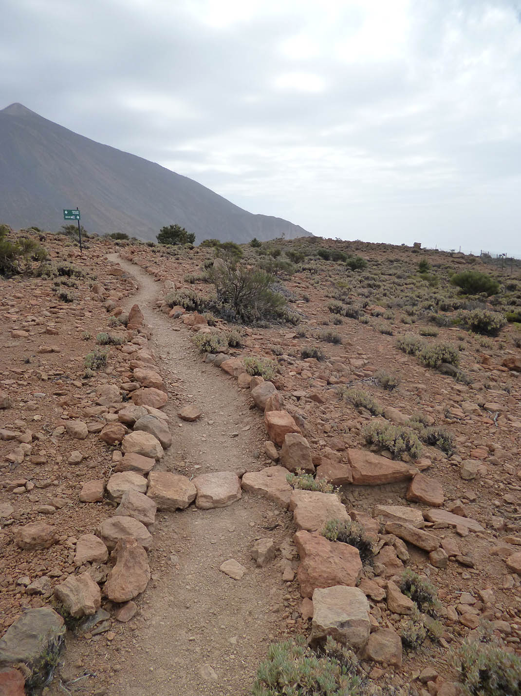
Short spur trail that will take you from the PNT 36 trail (Alto de la Fortaleza) to the La Abejera viewpoint and Pico Cabras.

Tips

  • Always stay on the marked trail and do not enter private property, hunting grounds, water galleries, wells or caves.
  • Pay special attention when crossing or walking along trails used by bicycles, horses or motor vehicles and when walking in ravines with water courses.
  • Avoid direct encounters with potentially dangerous animals, such as livestock, beehives, and dogs. 
  • Proceed with caution and watch for obstacles, loose rocks, uneven terrain or steep slopes to avoid accidents and falls. 
  • Check out our guide to hiking in Tenerife and, if necessary, contact the emergency services by calling 112.


Recommendations and tips

Permits

Free access for all visitors, no reservation required.

More information

Technical information sheet

Route information

Walking route

Tenerife ON

Linear

0,20 km

0 h 15 m

1,06 m

7,14 m

One way with fitness level 3/5

  • Altitude gain:1,06 m

  • Altitude loss:7,14 m

  • Maximum altitude:2.129,82 m

  • Minimum altitude:2.123,61 m

Signage

Route code

PNT-36.1

Signposts and waymarkers with the code of the trail on dark green panels.

Signage

Route map and profile

Elevation profile

Difficulty

Low *MIDE safe mountain criteria

  • Maximum altitude:2.129,82 m

  • Minimum altitude:2.123,61 m

Connections with other routes

How to get to route start point

PNT 36 Alto de la Fortaleza.

Trailhead only accessible on foot from the PNT 36 trail.

Trailhead only accessible on foot from the PNT 36 trail.

How to get to route end point

La Abejera and Pico Cabras Viewpoints.

End point only accessible on foot.

End point only accessible on foot.

Municipalities passed through

  • San Juan de la Rambla

Protected Areas

Transit

Parque Nacional del Teide

The Teide National Park is the best exampleof the high-mountain landscape of the Canary Islands.  It is a breathtaking setting where you can learn about some of the most spectacular volcanic ...

Discover the Protected Area
Parque Nacional del Teide

Transit

Parque Natural de la Corona Forestal

The Corona Forestal is the largest protected natural area in the Canary Islands, one of the most extensive forests on the islands, the lungs of Tenerife and the gateway to Mount Teide.  As its name ...

Discover the Protected Area
Parque Natural de Corona Forestal

Weather

Today, monday, in San Juan de la Rambla


Clouds
Wind

3 km/h

Temperature

15ºC Maximum

9ºC Minimum

Rain

0%

3 day forecast

tuesday

16ºC Maximum

10ºC Minimum

wednesday

17ºC Maximum

12ºC Minimum

thursday

18ºC Maximum

12ºC Minimum

Places of interest

These are some of the points of interest you can find along this route.

La_Fortaleza
Rock

Risco de la Fortaleza (crags)

Striking rusty-brown rock formation that is the only remnant left of the ancient Cañadas Edifice...