ePrivacy and GPDR Cookie Consent management by TermsFeed Privacy Policy and Consent Generator PNT 07 Montaña Blanca - La Rambleta

PNT 07 Montaña Blanca - La Rambleta

PNT-07

Montaña Blanca - La Rambleta

Montaña Blanca - La Rambleta

Difficulty: High

Description

This trail sets off along the Montaña Blanca track, an example of explosive volcanic eruptions that emit pumice stone. 

The old footpath to the peak begins when you reach the slopes of Mount Teide. It climbs steeply, with a gradient of over 60% in some parts, via Lomo Tieso to the Altavista Refuge. Both the steepness of the slope and the high altitude make this route very tiring. 

The trail continues to climb, less steeply now, over flows of young black lava that has not yet been colonised by vegetation, to end at La Rambleta next to the La Fortaleza viewpoint. 

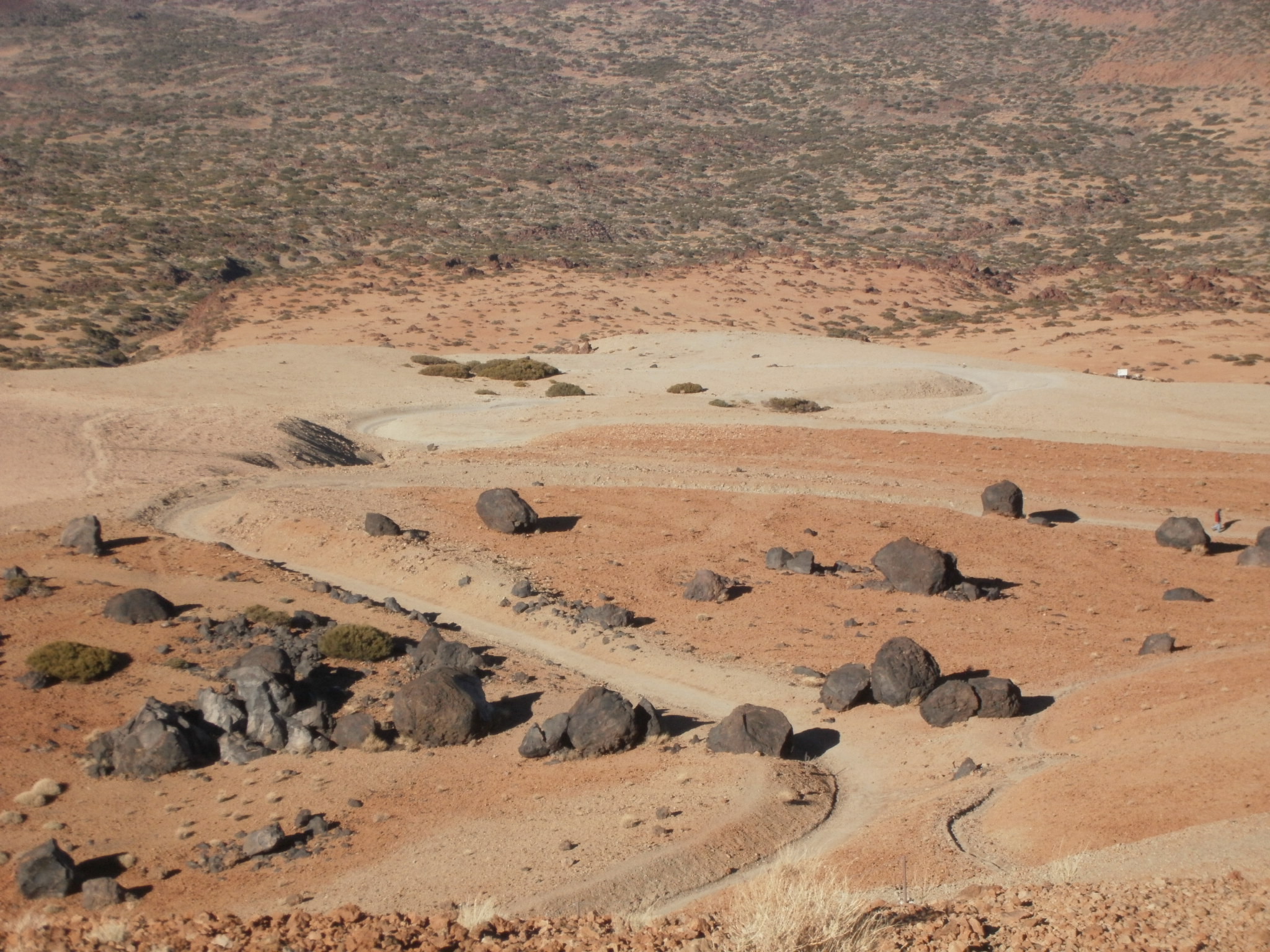
On this route you will notice the giant accretion balls at the foot of Mount Teide, fragments of magma ejected from the mouth of the volcano that rolled down the slope until they settled at the base of the mountain. 

You will be accompanied on part of the ascent by Teide white broom or retama (Spartocytisus supranubius), until at an altitude of 3400 m the vegetation disappears almost completely, except for isolated cases of the park’s flora, including marguerites (Argyranthemum frutescens) and the Teide violet (Viola cheiranthifolia). 

Tips

  • Always stay on the marked trail and do not enter private property, hunting grounds, water galleries, wells or caves.  
  • Pay special attention when crossing or walking along trails used by bicycles, horses or motor vehicles and when walking in ravines with water courses.
  • Avoid direct encounters with potentially dangerous animals, such as livestock, beehives, and dogs. 
  • Proceed with caution and watch for obstacles, loose rocks, uneven terrain or steep slopes to avoid accidents and falls. 
  • Check out our guide to hiking in Tenerife and, if necessary, contact the emergency services by calling 112.
Recommendations and tips

Permits

Free access for all visitors, no reservation required.

More information

Technical information sheet

Route information

Walking route

Tenerife ON

Linear

8,29 km

5 h 55 m

1.309,08 m

121,64 m

One way with fitness level 3/5

  • Altitude gain:1.309,08 m

  • Altitude loss:121,64 m

  • Maximum altitude:3.535,73 m

  • Minimum altitude:2.348,29 m

Signage

Route code

PNT-07

Signposts and waymarkers with the code of the trail on dark green panels.

Signage

Route map and profile

Elevation profile

Difficulty

High *MIDE safe mountain criteria

  • Maximum altitude:3.535,73 m

  • Minimum altitude:2.348,29 m

Connections with other routes

How to get to route start point

Montaña Blanca Viewpoint, Carretera General de Las Cañadas del Teide (TF-21), km 40,2.

Bus numbers 348 and 342, Montaña Blanca bus stop code 7686. TITSA

Limited parking spaces at the viewpoint.

How to get to route end point

La Fortaleza viewpoint.

La Fortaleza viewpoint only accessible on foot from trails PNT 11 (La Fortaleza viewpoint) and PR TF 41 (Playa del Socorro - Pico del Teide) or from La Rambleta (via cable car). 

La Fortaleza viewpoint only accessible on foot from trails PNT 11 (La Fortaleza viewpoint) and PR TF 41 (Playa del Socorro - Pico del Teide) or from La Rambleta (via cable car). 

Municipalities passed through

  • La Orotava

Protected Areas

Transit

Parque Nacional del Teide

The Teide National Park is the best exampleof the high-mountain landscape of the Canary Islands.  It is a breathtaking setting where you can learn about some of the most spectacular volcanic ...

Discover the Protected Area
Parque Nacional del Teide

Transit

Monumento Natural El Teide

Visible from almost any point on the island, the Teide Natural Monument figures prominently in the mythical landscape of Tenerife and of the entire archipelago of the Canary Islands.  It is also of ...

Discover the Protected Area
Monumento Natural El Teide

Weather

Today, monday, in La Orotava


Clouds
Wind

3 km/h

Temperature

18ºC Maximum

14ºC Minimum

Rain

0%

3 day forecast

tuesday

19ºC Maximum

14ºC Minimum

wednesday

21ºC Maximum

16ºC Minimum

thursday

21ºC Maximum

16ºC Minimum

Places of interest

These are some of the points of interest you can find along this route.

Refugio_Altavista
Unique building

Altavista Refuge

The Altavista Refuge, at an altitude of 3,260 metres, is the perfect spot to enjoy the best...

Montana_Blanca
Rock

Montaña Blanca

Montaña Blanca ist ein Vulkankegel, der sich dadurch auszeichnet, dass er hauptsächlich aus...