ePrivacy and GPDR Cookie Consent management by TermsFeed Privacy Policy and Consent Generator PR TF 08 Afur - Taganana - Afur

PR TF 08 Afur - Taganana - Afur

PR-TF 08

Macizo de Anaga

Difficulty: Medium

Description

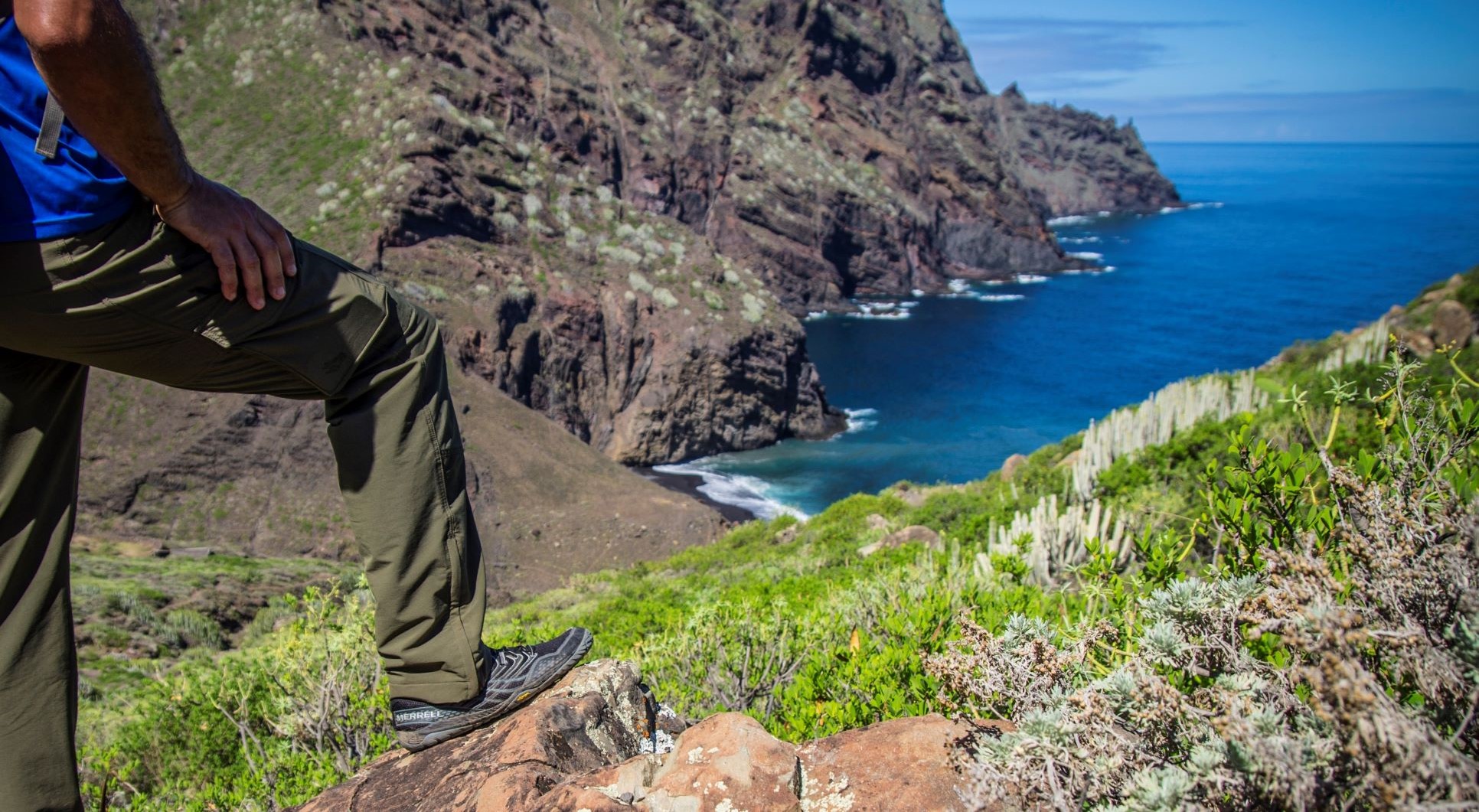
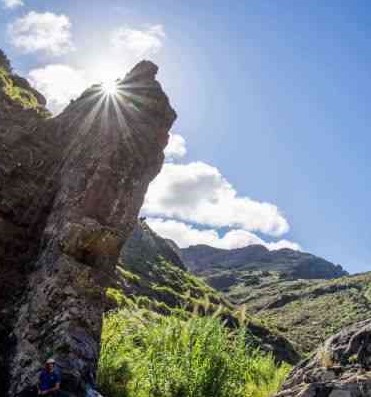
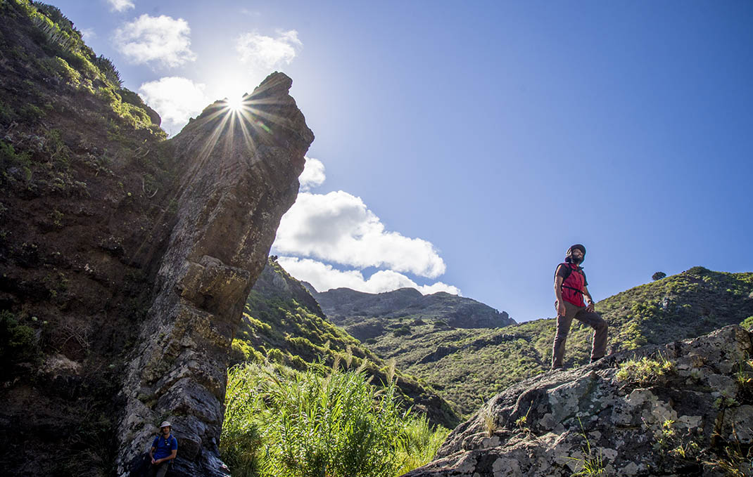
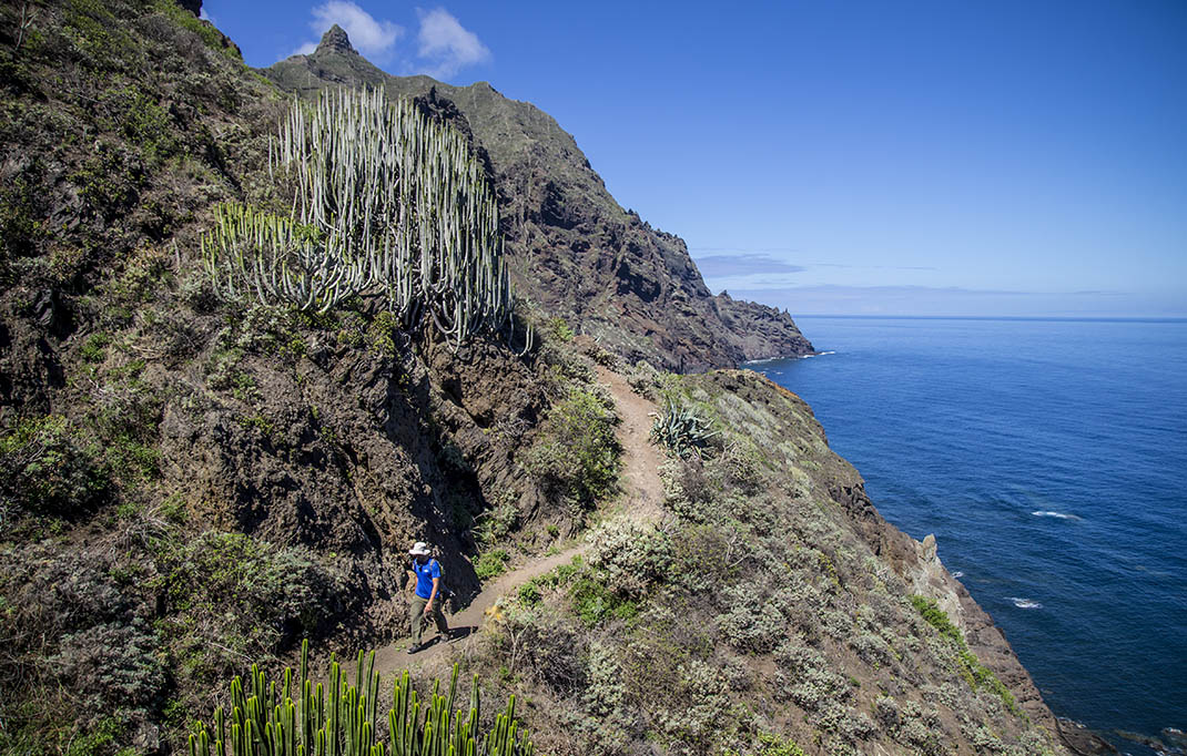
This demanding trail with very steep sections sets out from Afur to reach Taganana before returning in an interesting route. 

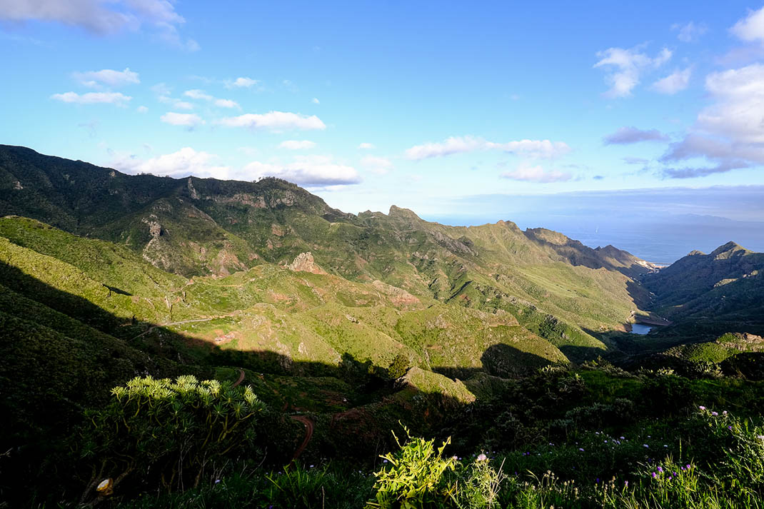
It starts with a slight ascent through the houses of Era del Camino, which offers impressive views of the Afur valley. 

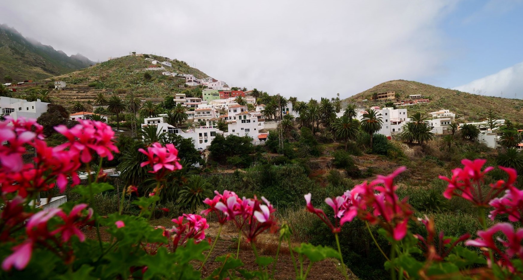
The path then descends the ravine to the beach of Tamadite, to the north. After this you will face the steepest climb of the route up to the hamlet of El Chorro and, shortly after, to the village of Taganana. 

If you follow the trail along Monte de las Vueltas, you will reach Camino de Inchirés, which will take you back to Afur.

Tips

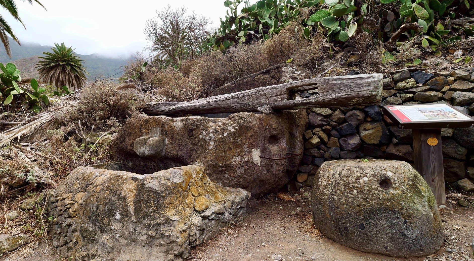
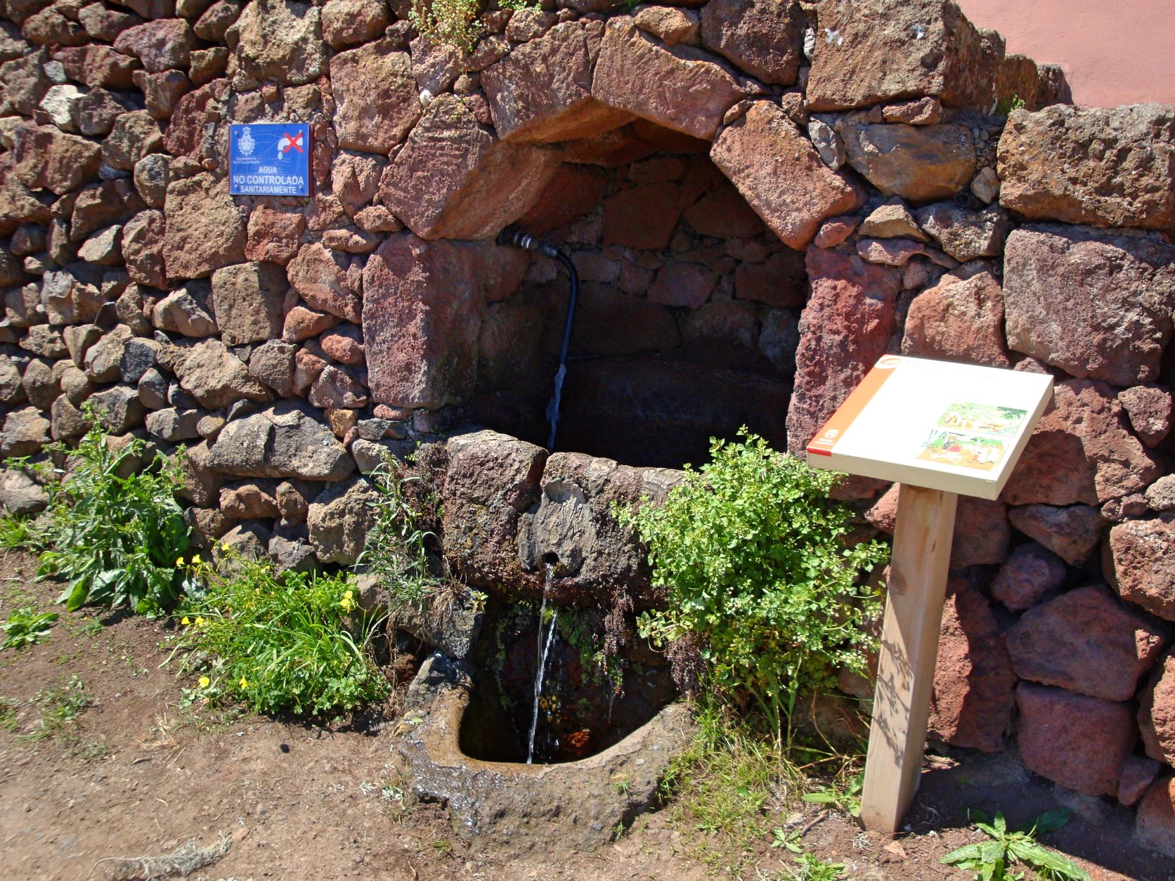
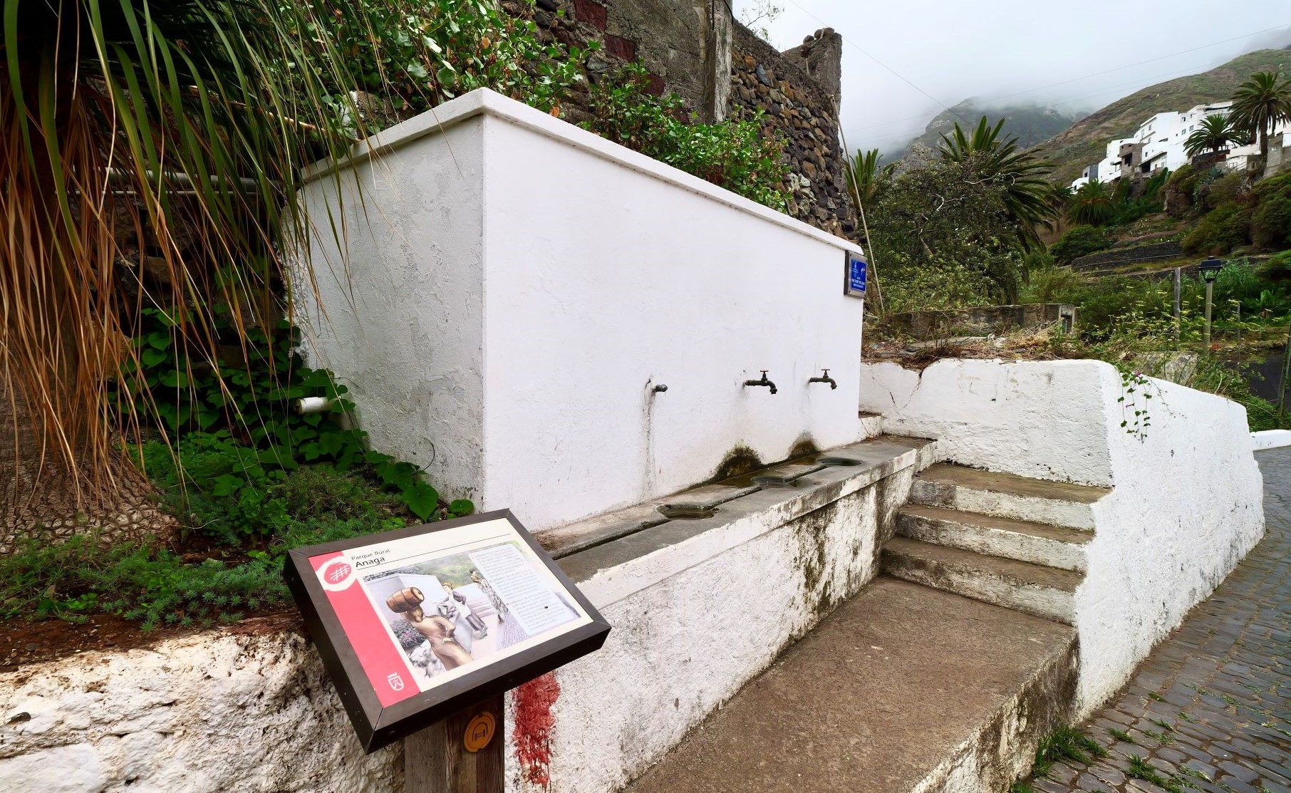
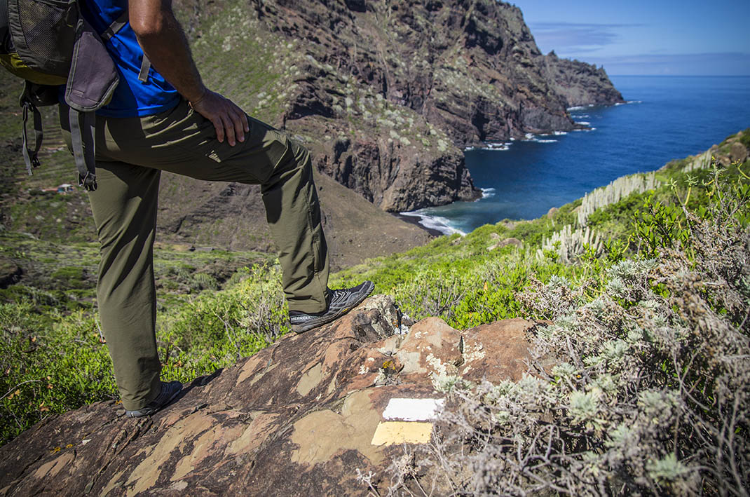
  • Always stay on the marked trail and do not enter private property, hunting grounds, water galleries, wells or caves.
  • Pay special attention when crossing or walking along trails used by bicycles, horses or motor vehicles and when walking in ravines with water courses.
  • Avoid direct encounters with potentially dangerous animals, such as livestock, beehives, and dogs.
  • Proceed with caution and watch for obstacles, loose rocks, uneven terrain or steep slopes to avoid accidents and falls.
  • Check out our guide to hiking in Tenerife and, if necessary, contact the emergency services by calling 112.


Recommendations and tips

Permits

  • [TEMPORARY MEASURE] Free access without authorisation or reservation for natural or legal entities of a public or private nature, both non-profit (town councils, schools, associations, clubs, etc.) and for-profit (active tourism companies), until 31 December 2026 as established in the Resolution.
  • Free access for all other visitors, no reservation required.
  • Email for enquiries - This email address is being protected from spambots. You need JavaScript enabled to view it.
More information

Technical information sheet

Route information

Walking route

Check your fitness level

Tenerife ON

Linear

14,31 km

8 h 30 m *

  • Altitude gain:1.602,97 m

  • Altitude loss:1.604,67 m

  • Maximum altitude:860,51 m

  • Minimum altitude:3,95 m

Signage

Route code

PR-TF 08

Posts and signs displaying the PR code and yellow and white marks.

Signage

Route map and profile

Elevation profile

Difficulty

Medium *MIDE safe mountain criteria

  • Maximum altitude:860,51 m

  • Minimum altitude:3,95 m

Connections with other routes

How to get to route start point

2 starting points are possible: Plaza de la Iglesia Nuestra Señora de las Nieves, Camino La Cuestilla, Taganana, or Carretera de Afur (TF-136), between km 6 and 7.

  • Bus number 76, Afur bus stop code 2296.
  • Bus number 946, Taganana bus stop code 1531. TITSA

  • Limited public parking spaces.
  • Parking spaces available in the town.

How to get to route end point

2 endpoints are possible: Plaza de la Iglesia Nuestra Señora de las Nieves, Camino La Cuestilla, Taganana, or Carretera de Afur (TF-136), between km 6 and 7.

  • Bus number 76, Afur bus stop code 2296.
  • Bus number 946, Taganana bus stop code 1531. TITSA

  • Limited public parking spaces.
  • Parking spaces available in the town.

Municipalities passed through

  • Santa Cruz de Tenerife

Protected Areas

Transit

Parque Rural de Anaga

The Anaga Rural Park, which occupies 7% of the island and is part of the Anaga Biosphere Reserve, was one of the first landmasses to emerge from the seabed when the island of Tenerife began to ...

Discover the Protected Area
Parque Rural de Anaga

Weather

Today, saturday, in Santa Cruz de Tenerife


Clouds
Wind

25 km/h

Temperature

22ºC Maximum

20ºC Minimum

Rain

0%

3 day forecast

sunday

21ºC Maximum

19ºC Minimum

monday

21ºC Maximum

19ºC Minimum

tuesday

21ºC Maximum

20ºC Minimum

Places of interest

These are some of the points of interest you can find along this route.

Heritage of Cultural Interest

Santa Catalina Hermitage - BIC (Asset of Cultural Interest) Monument

The chapel of Catherine of Alexandria in Taganana dates back to the 1620s. On 4 May 1621, Juan...

Barranco_Auchones
Ravine

Barranco de los Auchones

Ravine that gives its name to this hamlet near to Taganana.

...
Dragos_del_Cura
Monumental tree

Dragos del Cura

A Canary Island dragon tree (Dracaena draco) stands on the edge of a cultivated terrace,...

Taganana
Hamlet

Taganana

Village that lies to the north of the island’s capital, with a rich natural, architectural and...

Fuente_Pianola_Taganana
Fountain

Fuente Pianola

A public fountain built in teh 1930s that greatly improved the quality of life of the inhabitants...

Unique building

Casa Forestal de Anaga

Casa Forestal de Anaga is a historic building that, in its past, functioned as a forestry...

Barranco_Afur
Ravine

Barranco de Afur

This ravine ends at Tamadite Beach and is a local landmark.

...
Iglesia_Nieves_Anaga
Heritage of Cultural Interest

Iglesia de Nuestra Señora de las Nieves (Church of Our Lady of the Snows) - BIC (Asset of Cultural Interest) Monument

As early as 1507, documents mention the existence of a church in the fertile Taganana Valley...

Winery

Winepresses on Camino del Chorro

One of 46 winepresses in the area, built next to the vineyards to reduce transport distances.

...
Winery

Lagar de la Chanca

One of 46 winepresses in the area, one of the best preserved.

...