Description
This trail is the ideal opportunity to cross the Teno Rural Park from east to west.
The route starts in San José de Los Llanos (Municipality of El Tanque) with a gentle ascent to Los Partidos de Franquis, running along the same path as the PR TF 43.3 Los Partidos de Franquis – Montaña Chinyero.
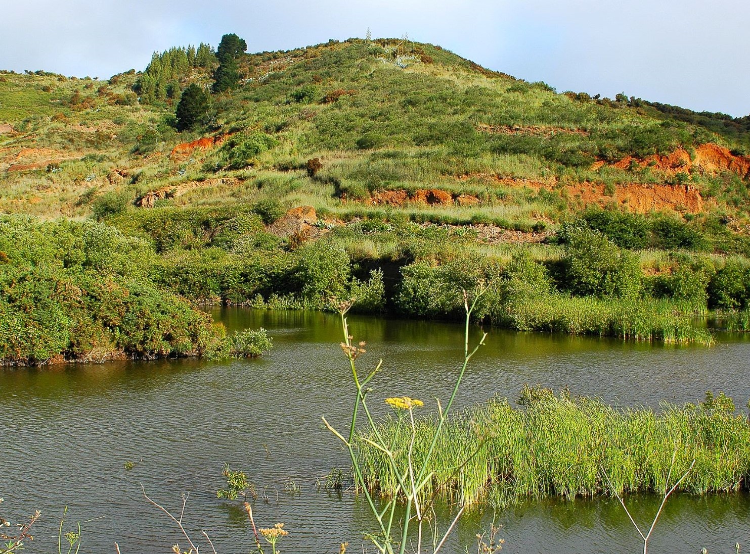
It then descends until you reach the ponds known as Charcas de Erjos, one of the few wetlands to be found on the island. Here you will be able to spot a variety of aquatic species, some of which use these ponds as a feeding, resting and breeding ground.
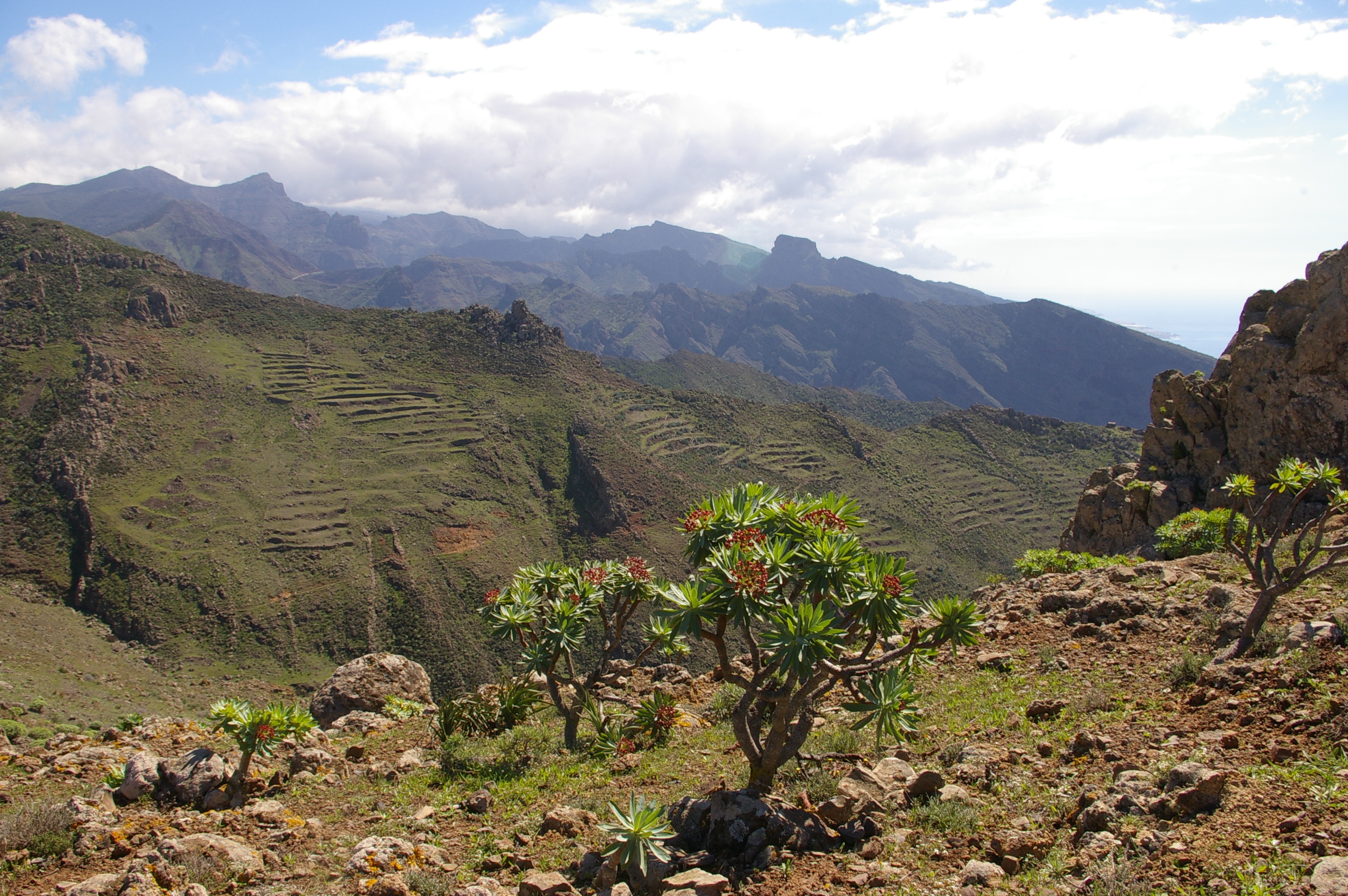
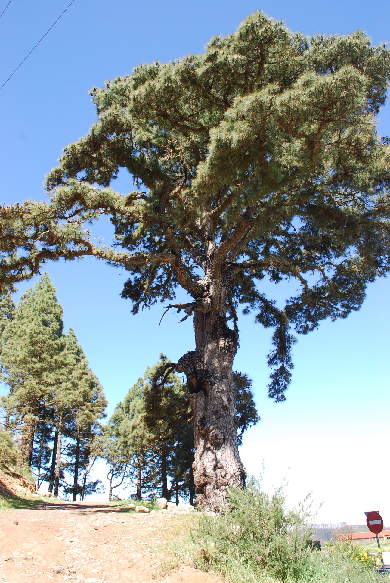
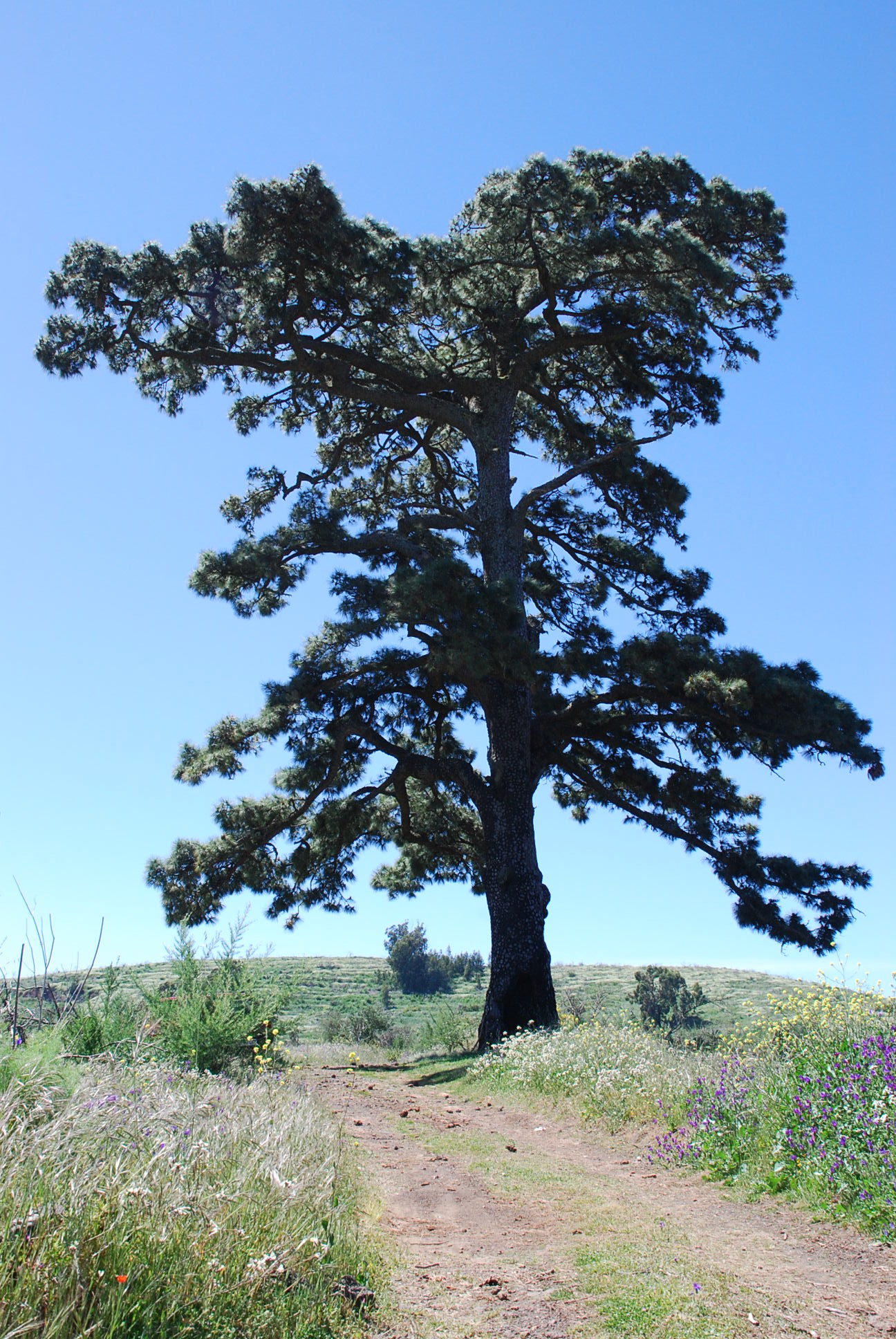
From this point you will skirt the southern side of Pico de Cruz de Gala as you enter monteverde forest, and then descend to Las Casas de la Cumbre.
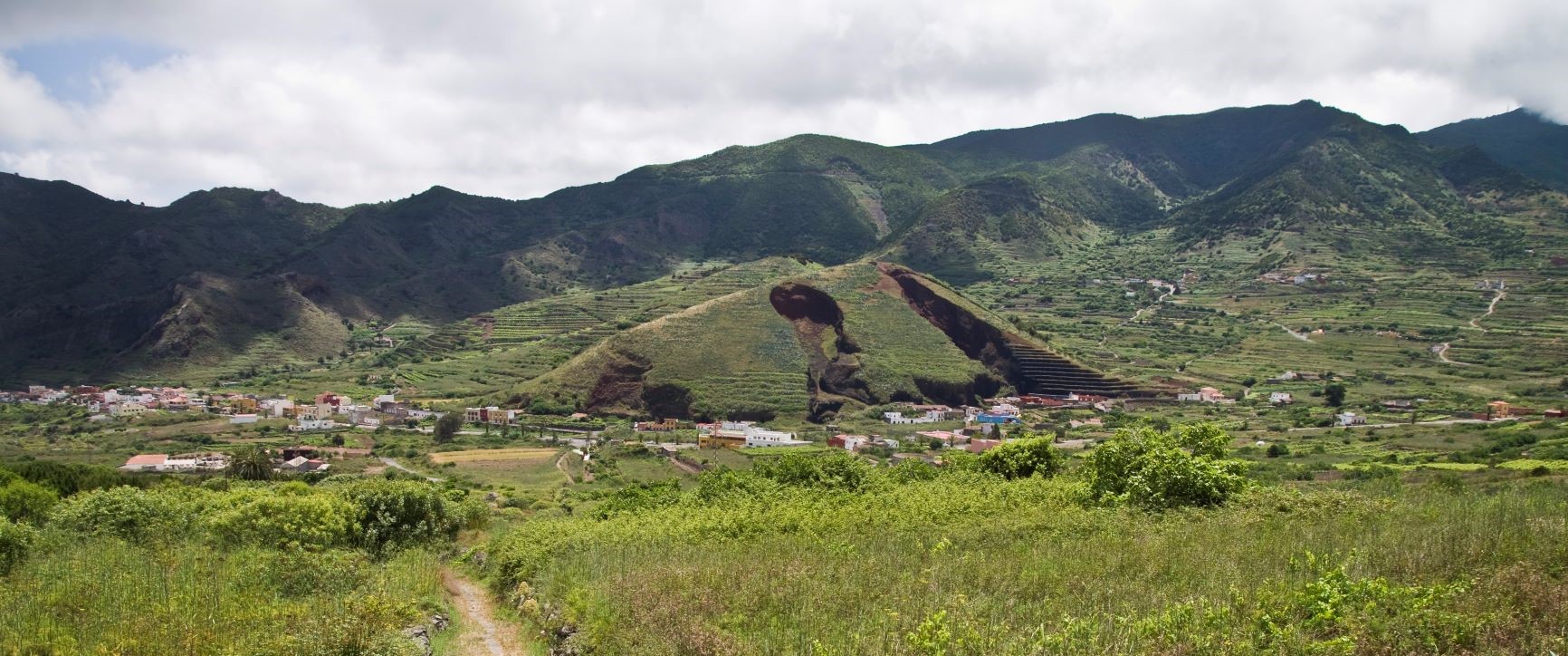
After 2 km you will arrive at Pico de Martín Báez and then continue on to Cumbre del Carrizal. Then you will come to the Baracán viewpoint, but before reaching it you must cross the TF-436 road with great caution.
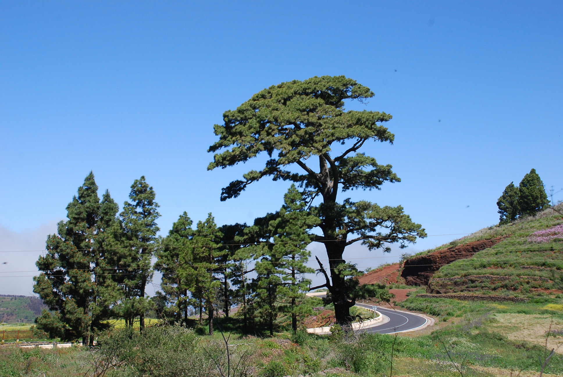
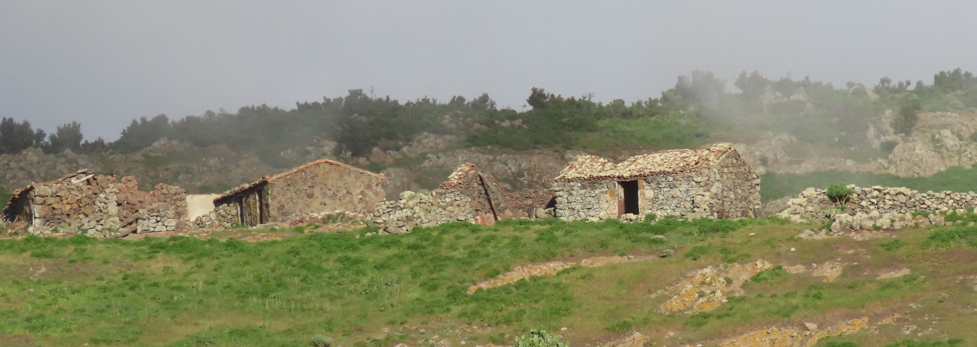
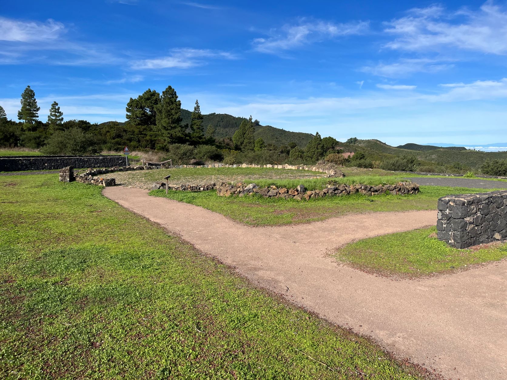
On leaving the Baracán viewpoint, the path heads north-west and runs around Pico Baracán. You will then cross the highest part of the massif heading north along a track through the monteverde forest and shortly afterwards you will enter Finca de Las Siete.
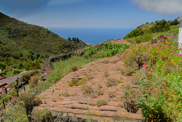
From here continue towards Los Bailaderos heading west towards Montaña de El Vallado. After skirting this peak, you will reach Las Cuevas. From this natural viewpoint the descent to Punta de Teno begins. The trail ends next to the tomato-packing warehouses, on the edge of the road that leads to the lighthouse.
Tips
- Always stay on the marked trail and do not enter private property, hunting grounds, water galleries, wells or caves.
- Pay special attention when crossing or walking along trails used by bicycles, horses or motor vehicles and when walking in ravines with water courses.
- Avoid direct encounters with potentially dangerous animals, such as livestock, beehives, and dogs.
- Proceed with caution and watch for obstacles, loose rocks, uneven terrain or steep slopes to avoid accidents and falls.
- Check out our guide to hiking in Tenerife and, if necessary, contact the emergency services by calling 112.
Guides
No data available