ePrivacy and GPDR Cookie Consent management by TermsFeed Privacy Policy and Consent Generator SL TF 27 Los Nateros - Morra del Pino

SL TF 27 Los Nateros - Morra del Pino

SL-TF 27

Los Nateros, La Matanza de Acentejo

Nateros Vica
Nateros Vica

Difficulty: High

Description

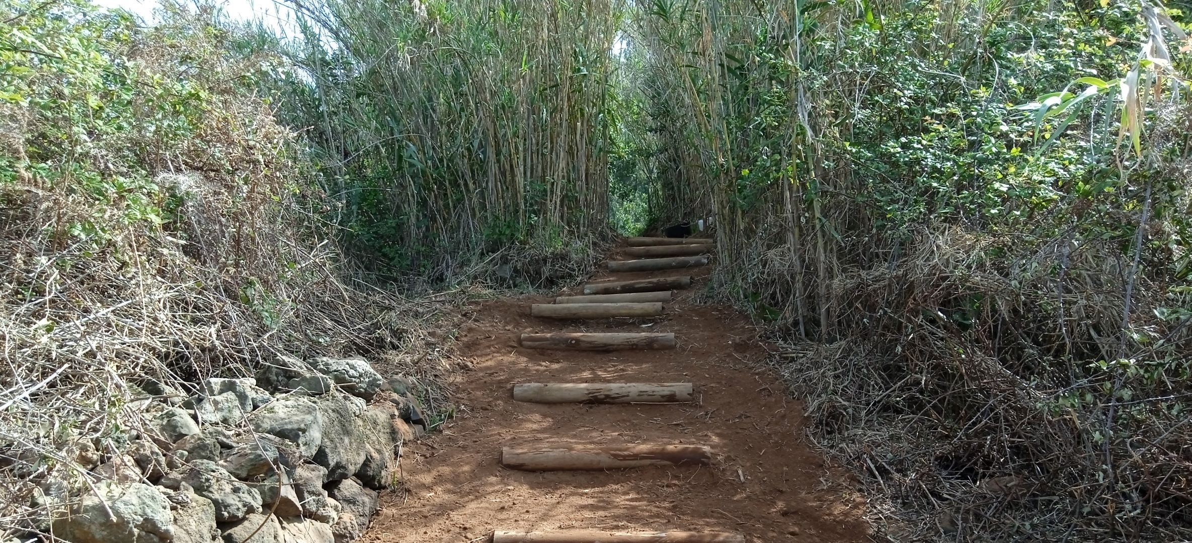
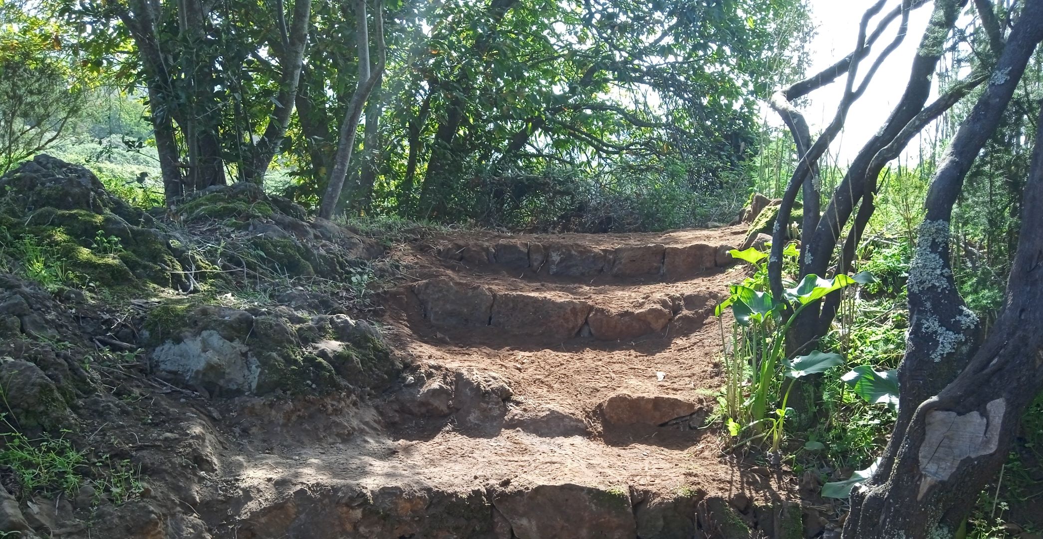
This challenging loop trail takes you through a changing landscape from the terraced fields of Los Nateros to the pine forest of Pico La Morra.

Please bear in mind that the route has very steep sections. Check that you are in good enough physical condition before setting off on this route.

Did you know that the name Los Nateros comes from the Portuguese word “Nateiro”? It refers to the silt (“nata de limo”) carried by runoff rainwater that was retained by building stone walls. The arable soil created by this accumulation of sediments is one of the main reasons why the land at the start of the route is so fertile.

Tips

  • Always stay on the marked trail and do not enter private property, hunting grounds, water galleries, wells or caves.  
  • Pay special attention when crossing or walking along trails used by bicycles, horses or motor vehicles and when walking in ravines with water courses.
  • Avoid direct encounters with potentially dangerous animals, such as livestock, beehives, and dogs. 
  • Proceed with caution and watch for obstacles, loose rocks, uneven terrain or steep slopes to avoid accidents and falls. 
  • Check out our guide to hiking in Tenerife and, if necessary, contact the emergency services by calling 112.
Recommendations and tips

Guides

No data available

Permits

Free access for all visitors, no reservation required.

More information

Technical information sheet

Route information

Walking route

Tenerife ON

Circular

6,72 km

3 h 0 m

504,41 m

504,41 m

  • Altitude gain:504,41 m

  • Altitude loss:504,41 m

  • Maximum altitude:1.008,53 m

  • Minimum altitude:592,45 m

Signage

Route code

SL-TF 27

Posts and signs displaying the SL code and green and white marks.

Signage

Route map and profile

Elevation profile

Difficulty

High *MIDE safe mountain criteria

  • Maximum altitude:1.008,53 m

  • Minimum altitude:592,45 m

Connections with other routes

How to get to route start point

Calle Real de La Orotava with Calle Chamiana, Los Nateros, La Matanza de Acentejo.

No nearby service.

Very limited parking spaces in the area.

How to get to route end point

Calle Real de La Orotava with Calle Chamiana, Los Nateros, La Matanza de Acentejo.

No nearby service.

Very limited parking spaces in the area.

Municipalities passed through

  • La Matanza de Acentejo

Protected Areas

Transit

Paisaje Protegido de Las Lagunetas

The Las Lagunetas Protected Landscape is situated on the north side of the Pedro Gil ridge, in the north-east of Tenerife.  This ridge was formed over the course of numerous phases of eruption less ...

Discover the Protected Area
Paisaje Protegido de Las Lagunetas

Weather

Today, friday, in La Matanza de Acentejo


Clouds
Wind

8 km/h

Temperature

20ºC Maximum

15ºC Minimum

Rain

0%

3 day forecast

saturday

18ºC Maximum

16ºC Minimum

sunday

19ºC Maximum

16ºC Minimum

monday

19ºC Maximum

16ºC Minimum