


Description
This trail takes you through the lava flows ejected by Mount Teide during its last eruption during the Middle Ages.
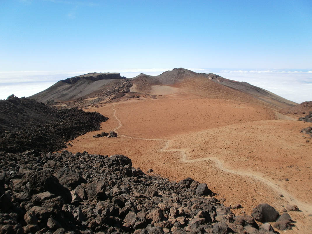
Along the way you will see the spectacular 800-metre wide crater of Pico Viejo and the volcanic vents of Las Narices del Teide, from the last eruption that occurred in the National Park in 1798.
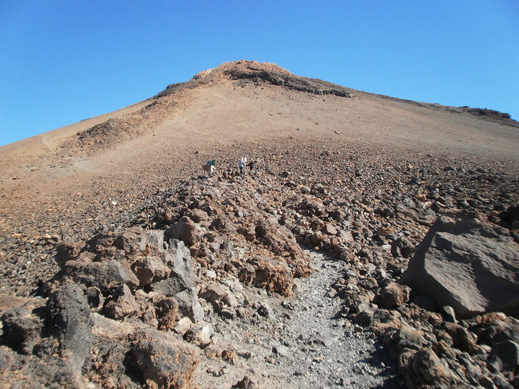
This is a tough route that starts next to the information panel at the Pico Viejo viewpoint. From there, a sinuous trail descends over black lava towards the crater of Pico Viejo.
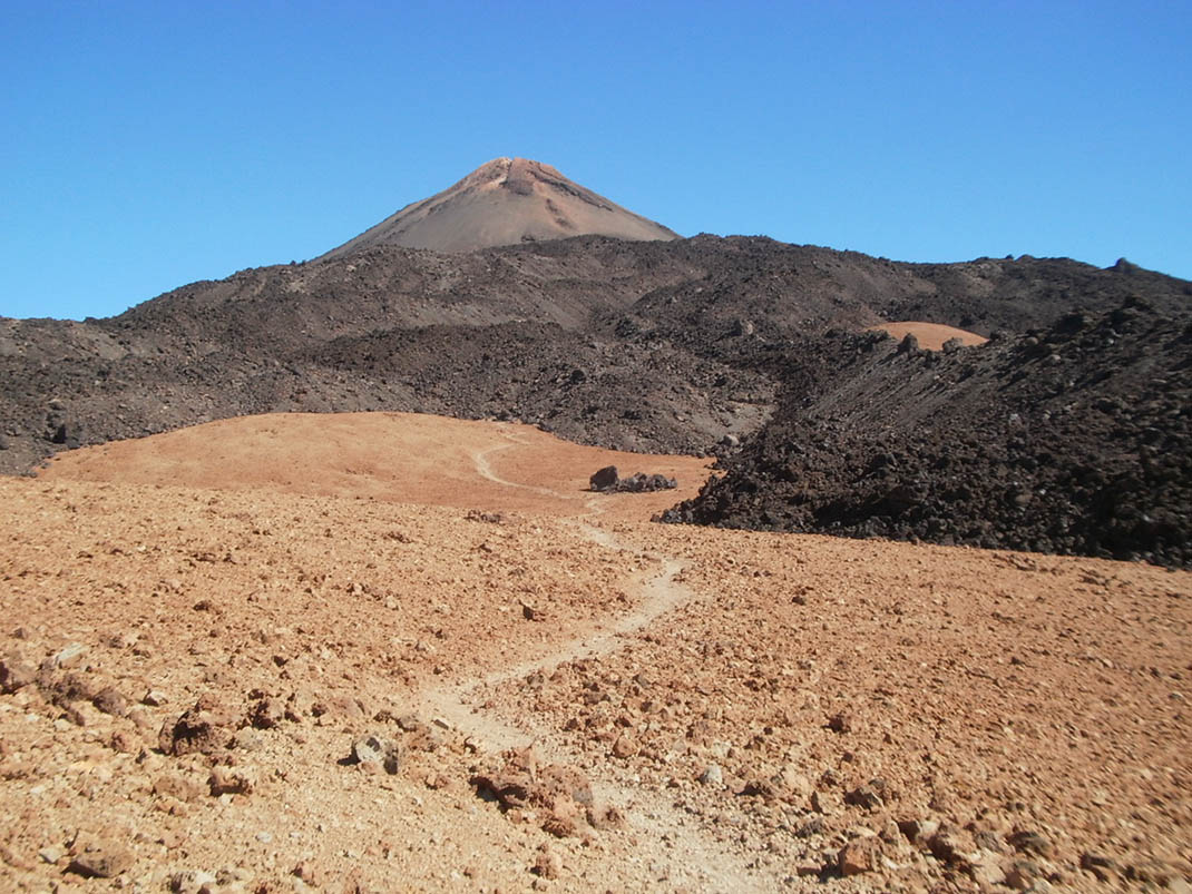
The path over this dark lava is the most difficult part of the route and continues until you reach Degollada de Chahorra, where the terrain is now blanketed in pumice.
The route then skirts the southern side of Pico Viejo and continues under the rim of its crater, located at an altitude of 3100 m, and then descends rapidly to Las Narices del Teide, a series of perfectly aligned craters.
After passing Las Narices del Teide, continue towards the ridge of Lomo de Chío and from there to the road (TF-38), where the route ends.
This trail takes you through the lava flows ejected by Mount Teide during its last eruption during the Middle Ages.
Along the way you will see the spectacular 800-metre wide crater of Pico Viejo and the volcanic vents of Las Narices del Teide, from the last eruption that occurred in the National Park in 1798.
This is a tough route that starts next to the information panel at the Pico Viejo viewpoint. From there, a sinuous trail descends over black lava towards the crater of Pico Viejo.
The path over this dark lava is the most difficult part of the route and continues until you reach Degollada de Chahorra, where the terrain is now blanketed in pumice.
The route then skirts the southern side of Pico Viejo and continues under the rim of its crater, located at an altitude of 3100 m, and then descends rapidly to Las Narices del Teide, a series of perfectly aligned craters.
After passing Las Narices del Teide, continue towards the ridge of Lomo de Chío and from there to the road (TF-38), where the route ends.
Tips
- Always stay on the marked trail and do not enter private property, hunting grounds, water galleries, wells or caves.
- Pay special attention when crossing or walking along trails used by bicycles, horses or motor vehicles and when walking in ravines with water courses.
- Avoid direct encounters with potentially dangerous animals, such as livestock, beehives, and dogs.
- Proceed with caution and watch for obstacles, loose rocks, uneven terrain or steep slopes to avoid accidents and falls.
- Check out our guide to hiking in Tenerife and, if necessary, contact the emergency services by calling 112.
Guides
Guide to the Teide National Park
Teide National Park Audioguide
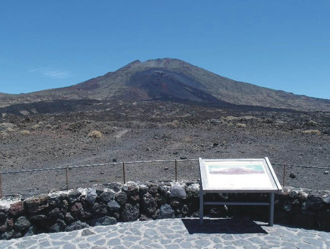
Information sign with trail access requirements


