ePrivacy and GPDR Cookie Consent management by TermsFeed Privacy Policy and Consent Generator PNT 32 Abeque

PNT 32 Abeque

PNT-32

Teide National Park

Abeque
Abeque
Abeque
Abeque
Abeque

Difficulty: Low

Description

This easy trail connects the south-western part of the Teide National Park from the Sámara viewpoint to the lower part of the PNT 09 trail. 

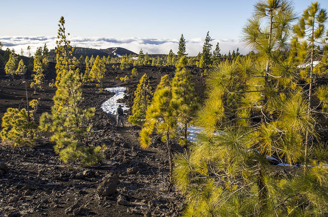
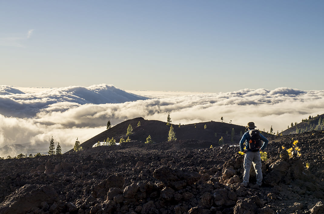
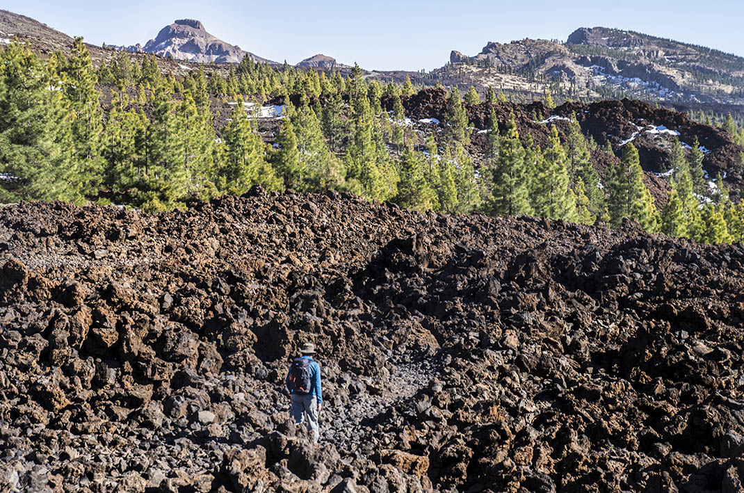
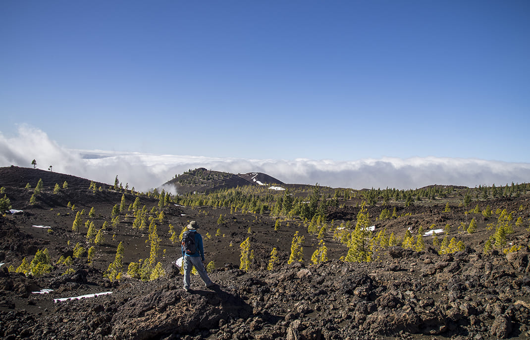
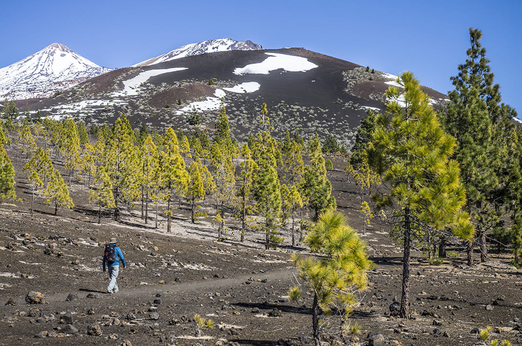
The route runs along one of the old footpaths that climbed to the top of the island and crosses a landscape covered mainly with recent volcanic materials from the nearby cones. 

The ground is covered for most of the way with lapilli and the path also leads through lava fields along trails permanently imprinted on the landscape by the comings and goings of shepherds and traders in the past.  

Along the route you will be treated to sweeping views of the south of Tenerife and the nearby islands. You will also have a view of Mount Teide and Pico Viejo that is quite unlike any other view from other parts of the National Park.

Tips

  • Always stay on the marked trail and do not enter private property, hunting grounds, water galleries, wells or caves.  
  • Pay special attention when crossing or walking along trails used by bicycles, horses or motor vehicles and when walking in ravines with water courses.
  • Avoid direct encounters with potentially dangerous animals, such as livestock, beehives, and dogs. 
  • Proceed with caution and watch for obstacles, loose rocks, uneven terrain or steep slopes to avoid accidents and falls. 
  • Check out our guide to hiking in Tenerife and, if necessary, contact the emergency services by calling 112.


Recommendations and tips

Permits

Free access for all visitors, no reservation required.

More information

Technical information sheet

Route information

Walking route

Tenerife ON

Linear

2,42 km

1 h 50 m

162,62 m

37,19 m

One way with fitness level 3/5

  • Altitude gain:162,62 m

  • Altitude loss:37,19 m

  • Maximum altitude:2.070,28 m

  • Minimum altitude:1.932,28 m

Signage

Route code

PNT-32

Signposts and waymarkers with the code of the trail on dark green panels.

Signage

Route map and profile

Elevation profile

Difficulty

Low *MIDE safe mountain criteria

  • Maximum altitude:2.070,28 m

  • Minimum altitude:1.932,28 m

Connections with other routes

How to get to route start point

Sámara Viewpoint, Carretera Boca Tauce (TF-38), km 7.5.

No nearby service.

Limited parking spaces at the viewpoint.

How to get to route end point

PNT 09 Teide - Pico Viejo - Mirador de Las Narices del Teide.

End point only accessible on foot from the PNT 09 trail.

End point only accessible on foot from the PNT 09 trail.

Municipalities passed through

  • Guía de Isora

Protected Areas

Transit

Parque Nacional del Teide

The Teide National Park is the best exampleof the high-mountain landscape of the Canary Islands.  It is a breathtaking setting where you can learn about some of the most spectacular volcanic ...

Discover the Protected Area
Parque Nacional del Teide

Transit

Parque Natural de la Corona Forestal

The Corona Forestal is the largest protected natural area in the Canary Islands, one of the most extensive forests on the islands, the lungs of Tenerife and the gateway to Mount Teide.  As its name ...

Discover the Protected Area
Parque Natural de Corona Forestal

Weather

Today, monday, in Guía de Isora


Clear skies
Wind

4 km/h

Temperature

16ºC Maximum

11ºC Minimum

Rain

0%

3 day forecast

tuesday

17ºC Maximum

10ºC Minimum

wednesday

18ºC Maximum

12ºC Minimum

thursday

18ºC Maximum

13ºC Minimum