ePrivacy and GPDR Cookie Consent management by TermsFeed Privacy Policy and Consent Generator PNT 38 Cuevas Negras

PNT 38 Cuevas Negras

PNT-38

Teide National Park

Cuevas Negras
Cuevas Negras
Cuevas Negras

Difficulty: Medium

Description

This trail connects the lower section of trail PNT 09 (Teide - Pico Viejo - Narices del Teide Viewpoint) with PNT 13 (Sámara) at its highest point. 

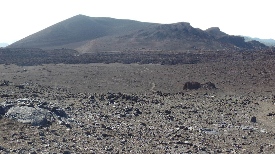
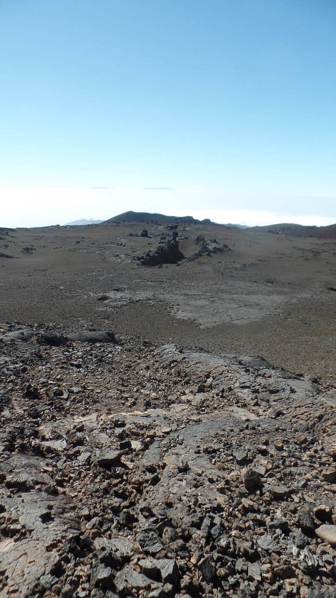
The path takes you through the area known as Llanos de Chahorra, between the volcanic cones of Montaña Cruz de Tea, Montaña Reventada and Lomo de Chío on the slopes of Pico Viejo. 

This spectacular landscape is almost devoid of vegetation, with a layer of small pyroclasts (ash and lapilli) almost completely covering the lava flows from the ancient eruptions of Pico Viejo and its cones. 

In the midst of this breathtaking landscape lie the caves known as Cuevas de Chahorra or Cuevas Negras, their location revealed by ancient smooth lava flows. Access is restricted to prevent damage to the caves, as they are a habitat with unique conditions. 

Leaving the caves, you will then walk around the volcano named Montaña Reventada and join the Samara trail through a terrain covered in lava and volcanic rocks.

Tips

  • Always stay on the marked trail and do not enter private property, hunting grounds, water galleries, wells or caves.
  • Pay special attention when crossing or walking along trails used by bicycles, horses or motor vehicles and when walking in ravines with water courses.
  • Avoid direct encounters with potentially dangerous animals, such as livestock, beehives, and dogs. 
  • Proceed with caution and watch for obstacles, loose rocks, uneven terrain or steep slopes to avoid accidents and falls. 
  • Check out our guide to hiking in Tenerife and, if necessary, contact the emergency services by calling 112.


Recommendations and tips

Permits

Free access for all visitors, no reservation required.

More information

Technical information sheet

Route information

Walking route

Tenerife ON

Linear

2,14 km

1 h 30 m

75,05 m

127,09 m

One way with fitness level 3/5

  • Altitude gain:75,05 m

  • Altitude loss:127,09 m

  • Maximum altitude:2.226,07 m

  • Minimum altitude:2.100,97 m

Signage

Route code

PNT-38

Signposts and waymarkers with the code of the trail on dark green panels.

Signage

Route map and profile

Elevation profile

Difficulty

Medium *MIDE safe mountain criteria

  • Maximum altitude:2.226,07 m

  • Minimum altitude:2.100,97 m

Connections with other routes

How to get to route start point

PNT 09 Teide - Pico Viejo - Mirador de las Narices del Teide.

Trailhead only accessible on foot from the PNT 09 trail.

Trailhead only accessible on foot from the PNT 09 trail.

How to get to route end point

PNT 13 Sámara.

End point only accessible on foot from the PNT 13 trail.

End point only accessible on foot from the PNT 13 trail.

Municipalities passed through

  • Guía de Isora

Protected Areas

Transit

Parque Nacional del Teide

The Teide National Park is the best exampleof the high-mountain landscape of the Canary Islands.  It is a breathtaking setting where you can learn about some of the most spectacular volcanic ...

Discover the Protected Area
Parque Nacional del Teide

Weather

Today, monday, in Guía de Isora


Clouds
Wind

1 km/h

Temperature

16ºC Maximum

10ºC Minimum

Rain

0%

3 day forecast

tuesday

17ºC Maximum

11ºC Minimum

wednesday

18ºC Maximum

13ºC Minimum

thursday

19ºC Maximum

13ºC Minimum