ePrivacy and GPDR Cookie Consent management by TermsFeed Privacy Policy and Consent Generator PNT 23 Los Regatones Negros

PNT 23 Los Regatones Negros

PNT-23

Parque Nacional del Teide

Los Regatones Negros

Difficulty: High

Description

This trail links the upper part of the PNT 03 trail with the PNT 09 trail at Degollada de Pico Viejo, also known as Degollada de Chahorra. 

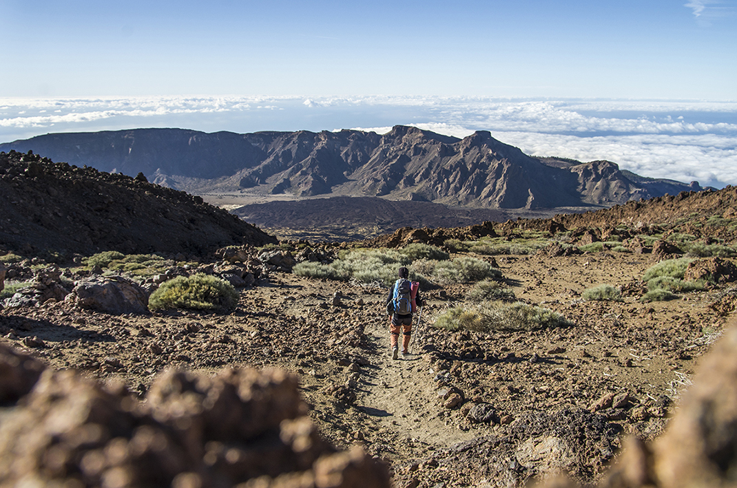
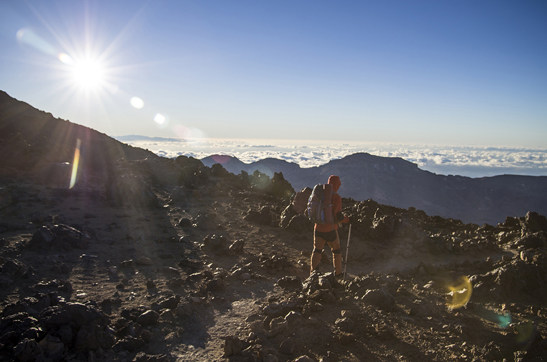
This hike requires a certain amount of preparation, as it involves a steep climb at high altitude, reaching 3,058 m. 

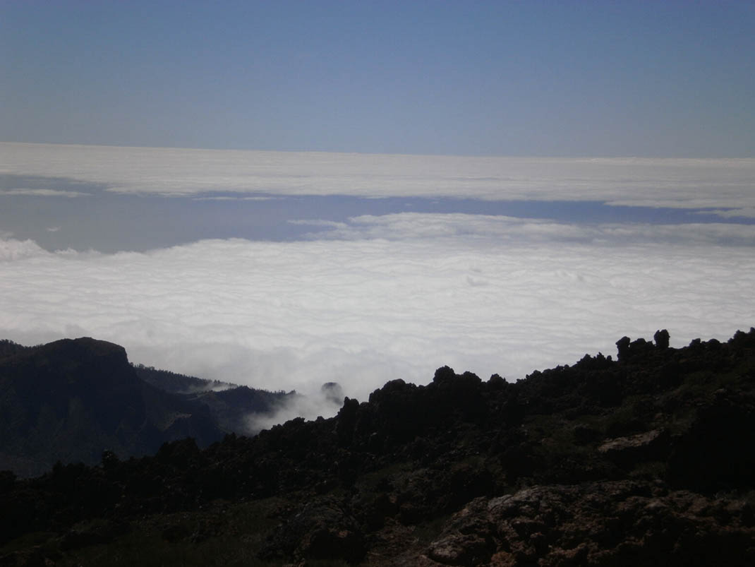
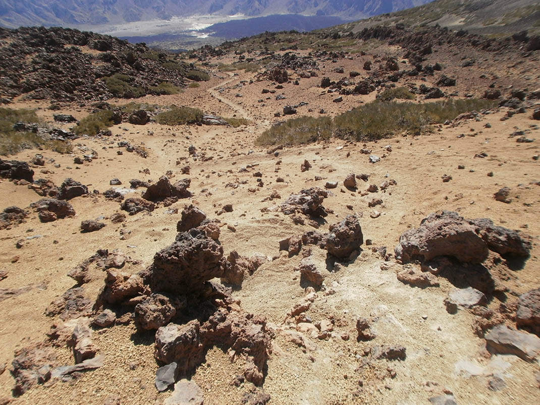
Along the route you will see how the mountain vegetation changes gradually as you ascend until nothing grows but stunted broom on the upper reaches of the trail. 

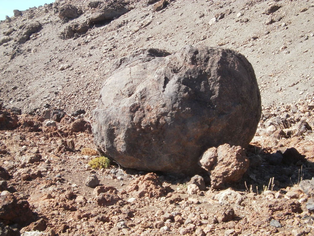
One of the most striking features of this trail is seeing the various types of lava produced by volcanic eruptions. Some sections, however, will require more effort as you will be walking over loose rocks and sharp edges. We therefore recommend that you wear appropriate footwear for this type of terrain.

Tips

  • Always stay on the marked trail and do not enter private property, hunting grounds, water galleries, wells or caves.
  • Pay special attention when crossing or walking along trails used by bicycles, horses or motor vehicles and when walking in ravines with water courses.
  • Avoid direct encounters with potentially dangerous animals, such as livestock, beehives, and dogs. 
  • Proceed with caution and watch for obstacles, loose rocks, uneven terrain or steep slopes to avoid accidents and falls.
  • Check out our guide to hiking in Tenerife and, if necessary, contact the emergency services by calling 112.


Recommendations and tips

Permits

Free access for all visitors, no reservation required.

More information

Technical information sheet

Route information

Walking route

Tenerife ON

Linear

5,41 km

3 h 45 m

1.024,60 m

153,16 m

One way with fitness level 3/5

  • Altitude gain:1.024,60 m

  • Altitude loss:153,16 m

  • Maximum altitude:3.046,23 m

  • Minimum altitude:2.174,78 m

Signage

Route code

PNT-23

Signposts and waymarkers with the code of the trail on dark green panels.

Signage

Route map and profile

Elevation profile

Difficulty

High *MIDE safe mountain criteria

  • Maximum altitude:3.046,23 m

  • Minimum altitude:2.174,78 m

Connections with other routes

How to get to route start point

PNT 03 (Roques de García).

Trailhead only accessible on foot from the PNT 09 trail.

Trailhead only accessible on foot from the PNT 09 trail.

How to get to route end point

PNT 09 (Teide - Pico Viejo - Mirador de las Narices del Teide).

Trailhead only accessible on foot from the PNT 03 trail.

Trailhead only accessible on foot from the PNT 03 trail.

Municipalities passed through

  • La Orotava

Protected Areas

Transit

Parque Nacional del Teide

The Teide National Park is the best exampleof the high-mountain landscape of the Canary Islands.  It is a breathtaking setting where you can learn about some of the most spectacular volcanic ...

Discover the Protected Area
Parque Nacional del Teide

Transit

Monumento Natural El Teide

Visible from almost any point on the island, the Teide Natural Monument figures prominently in the mythical landscape of Tenerife and of the entire archipelago of the Canary Islands.  It is also of ...

Discover the Protected Area
Monumento Natural El Teide

Weather

Today, monday, in La Orotava


Clouds
Wind

3 km/h

Temperature

18ºC Maximum

14ºC Minimum

Rain

0%

3 day forecast

tuesday

19ºC Maximum

14ºC Minimum

wednesday

21ºC Maximum

16ºC Minimum

thursday

21ºC Maximum

16ºC Minimum