ePrivacy and GPDR Cookie Consent management by TermsFeed Privacy Policy and Consent Generator PR TF 41.1 Route 040 - El Portillo spur trail

PR TF 41.1 Route 040 - El Portillo spur trail

PR-TF 41.1

Parque Nacional del Teide

Difficulty: Medium

Description

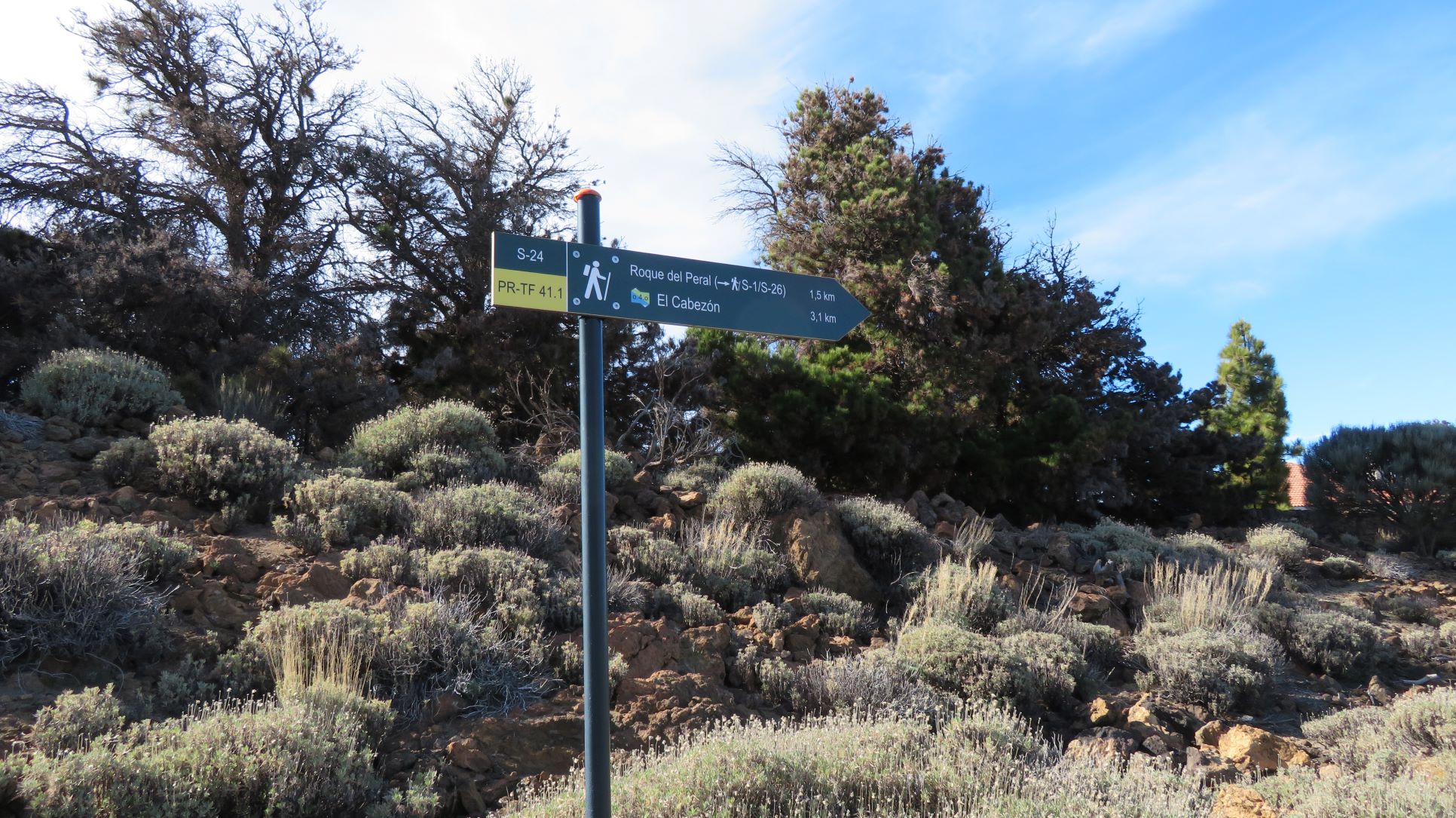
This is a branch of the PR TF 41 (Route 0-4-0) trail that links El Cabezón mountain with El Portillo del Teide along a pleasant walk with views. 

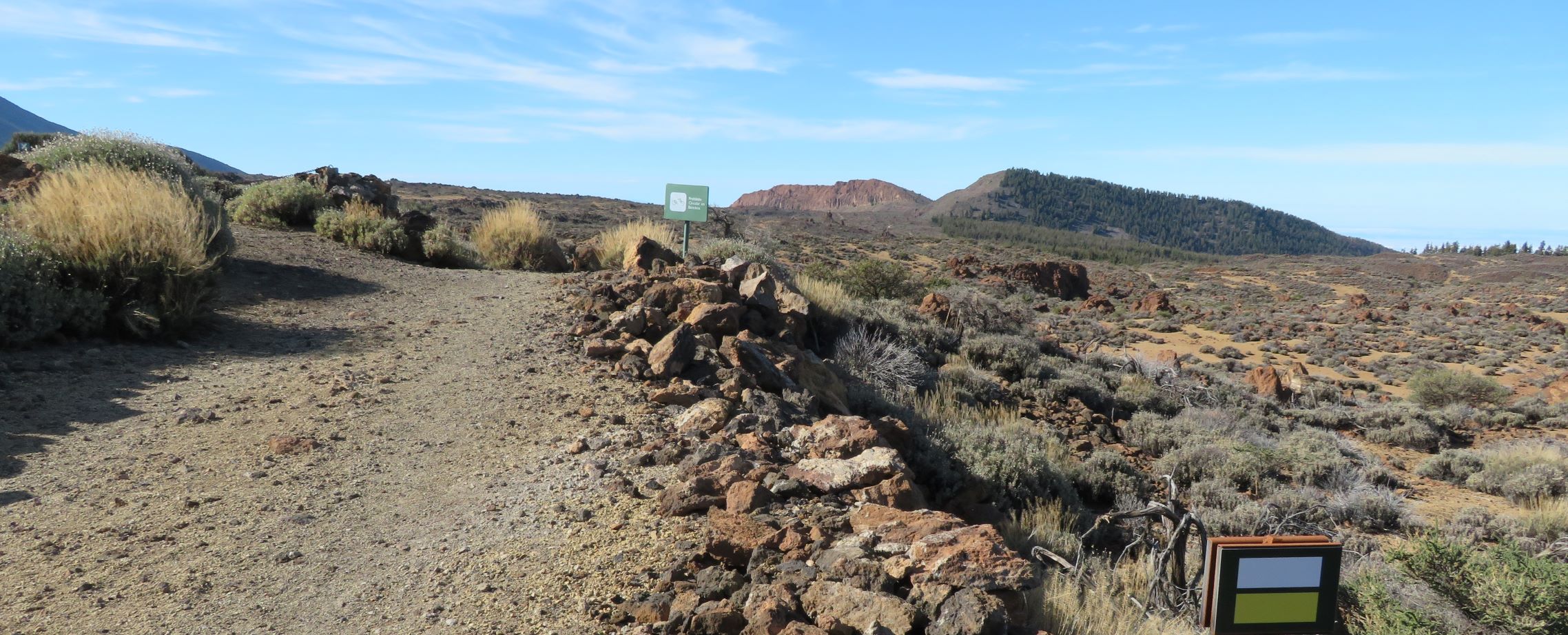
It runs along the Teide National Park trail PNT 01 for most of the way, ending at El Portillo Alto. 

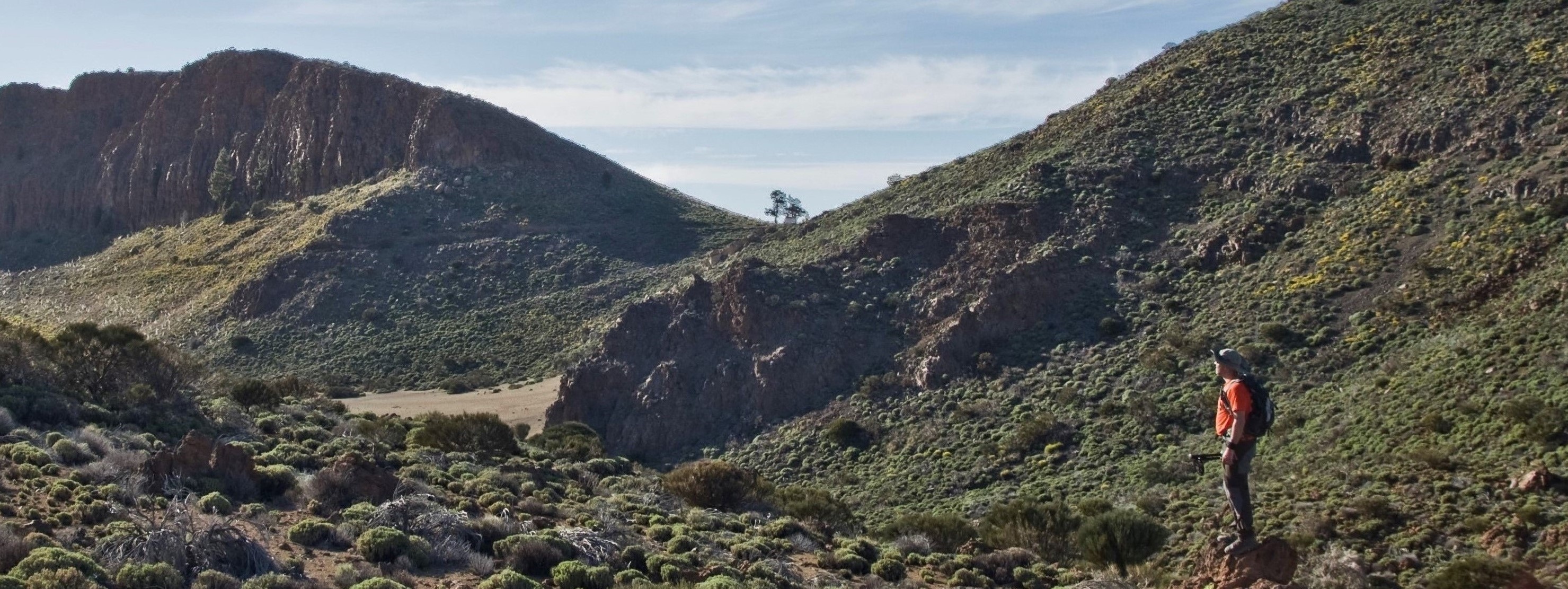
Start on the left side of El Cabezón mountain, at 2172 m above sea level, and cross part of Cañada de Los Guancheros through Teide white broom or retama (Spartocytisus supranubius) and Teide sticky broom or codeso (Adenocarpus viscosus) in the direction of an area of Canary Island pine forest. The Teide will always be visible on the route, making it the centrepiece of the day’s walk. 

The path continues to the area known as El Portillo Alto, passing very close to Roque del Peral before you reach your destination.

Tips

  • Always stay on the marked trail and do not enter private property, hunting grounds, water galleries, wells or caves. 
  • Pay special attention when crossing or walking along trails used by bicycles, horses or motor vehicles and when walking in ravines with water courses.
  • Avoid direct encounters with potentially dangerous animals, such as livestock, beehives, and dogs.
  • Proceed with caution and watch for obstacles, loose rocks, uneven terrain or steep slopes to avoid accidents and falls.
  • Check out our guide to hiking in Tenerife and, if necessary, contact the emergency services by calling 112.


Recommendations and tips

Guides

No data available

Permits

  • [TEMPORARY MEASURE] Free access without authorisation or reservation for natural or legal entities of a public or private nature, both non-profit (town councils, schools, associations, clubs, etc.) and for-profit (active tourism companies), until 31 December 2024 as established in the Resolution.
  • Free access for all other visitors, no reservation required.
  • Email for enquiries - This email address is being protected from spambots. You need JavaScript enabled to view it.
More information

Technical information sheet

Route information

Walking route

Tenerife ON

Linear

3,05 km

0 h 55 m

129,89 m

78,88 m

One way with fitness level 3/5

  • Altitude gain:129,89 m

  • Altitude loss:78,88 m

  • Maximum altitude:2.127,24 m

  • Minimum altitude:2.049,58 m

Signage

Route code

PR-TF 41.1

Posts and signs displaying the PR code and yellow and white marks.

Signage

Route map and profile

Elevation profile

Difficulty

Medium *MIDE safe mountain criteria

  • Maximum altitude:2.127,24 m

  • Minimum altitude:2.049,58 m

Connections with other routes

How to get to route start point

PR-TF 41 (Playa del Socorro - Pico Teide).

No service in the surrounding area.

No parking spaces in the area.

How to get to route end point

Carretera de las Cañadas del Teide (TF-21), El Portillo de la Villa, km 34.

Bus numbers 342 and 348, El Teide - El Portillo bus stop code 7690. TITSA

Limited parking spaces available.

Municipalities passed through

  • La Orotava

Protected Areas

Transit

Parque Nacional del Teide

The Teide National Park is the best exampleof the high-mountain landscape of the Canary Islands.  It is a breathtaking setting where you can learn about some of the most spectacular volcanic ...

Discover the Protected Area
Parque Nacional del Teide

Weather

Today, saturday, in La Orotava


Clear skies
Wind

2 km/h

Temperature

29ºC Maximum

23ºC Minimum

Rain

0%

3 day forecast

sunday

27ºC Maximum

22ºC Minimum

monday

24ºC Maximum

21ºC Minimum

tuesday

27ºC Maximum

20ºC Minimum