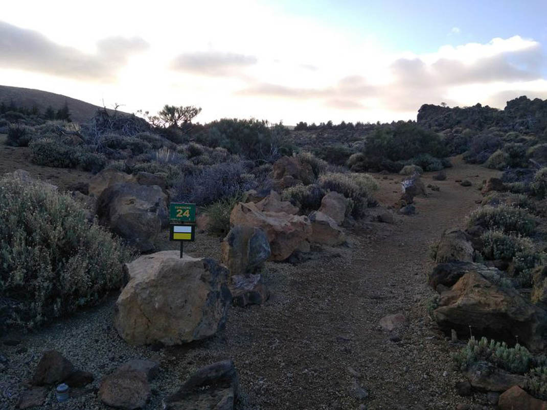
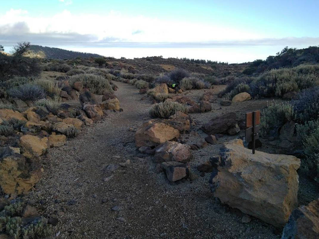
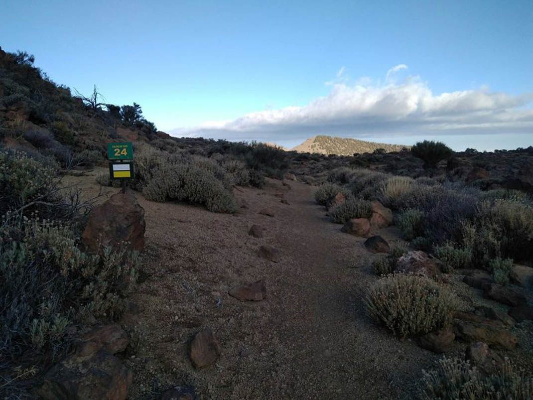
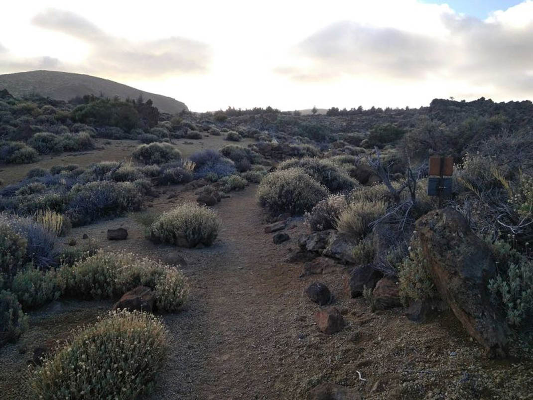
ePrivacy and GPDR Cookie Consent management by TermsFeed Privacy Policy and Consent Generator PNT 24 Portillo Alto

PNT 24 Portillo Alto

PNT-24

Teide National Park

Difficulty: Low

Description

This short trail links Portillo Alto with the PNT 01 trail (La Fortaleza), near the rock formation known as Roque del Peral. 

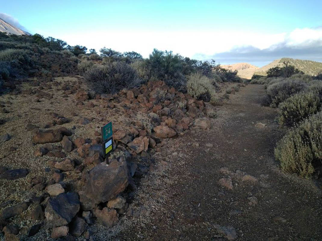
Towards the end, it crosses over the PNT 6 trail (Montaña de Los Tomillos), which climbs towards Montaña Blanca and Mount Teide. 

Along the way you will enjoy breathtaking panoramic views of the northern part of the Teide National Park.

Tips

  • Always stay on the marked trail and do not enter private property, hunting grounds, water galleries, wells or caves.
  • Pay special attention when crossing or walking along trails used by bicycles, horses or motor vehicles and when walking in ravines with water courses.
  • Avoid direct encounters with potentially dangerous animals, such as livestock, beehives, and dogs.
  • Proceed with caution and watch for obstacles, loose rocks, uneven terrain or steep slopes to avoid accidents and falls.
  • Check out our guide to hiking in Tenerife and, if necessary, contact the emergency services by calling 112.


Recommendations and tips

Permits

Free access for all visitors, no reservation required.

More information

Technical information sheet

Route information

Walking route

Tenerife ON

Linear

1,47 km

0 h 40 m

21,88 m

82,17 m

Solo ida con forma física 3/5

  • Altitude gain:21,88 m

  • Altitude loss:82,17 m

  • Maximum altitude:2.127,24 m

  • Minimum altitude:2.065,65 m

Signage

Route code

PNT-24

Signposts and waymarkers with the code of the trail on dark green panels.

Signage

Route map and profile

Elevation profile

Difficulty

Low *MIDE safe mountain criteria

  • Maximum altitude:2.127,24 m

  • Minimum altitude:2.065,65 m

Connections with other routes

How to get to route start point

Carretera de las Cañadas del Teide (TF-21), El Portillo de la Villa, km 34.

Bus numbers 342 and 343, Portillo Alto bus stop code 7788. TITSA

Some parking spaces available in the area.

How to get to route end point

PNT 01 (La Fortaleza).

End point only accessible on foot from the PNT 01 (La Fortaleza) trail.

End point only accessible on foot from the PNT 01 (La Fortaleza) trail.

Municipalities passed through

  • La Orotava

Protected Areas

Transit

Parque Nacional del Teide

The Teide National Park is the best exampleof the high-mountain landscape of the Canary Islands.  It is a breathtaking setting where you can learn about some of the most spectacular volcanic ...

Discover the Protected Area
Parque Nacional del Teide

Weather

Today, saturday, in La Orotava


Clouds
Wind

5 km/h

Temperature

29ºC Maximum

24ºC Minimum

Rain

0%

3 day forecast

sunday

27ºC Maximum

22ºC Minimum

monday

26ºC Maximum

21ºC Minimum

tuesday

27ºC Maximum

20ºC Minimum