ePrivacy and GPDR Cookie Consent management by TermsFeed Privacy Policy and Consent Generator PNT 22 Lomo Hurtado

PNT 22 Lomo Hurtado

PNT-22

Teide National Park

Lomo Hurtado
Lomo Hurtado
Lomo Hurtado
Lomo Hurtado

Difficulty: Low

Description

This easy trail links the upper part of the Orotava Valley with Montaña Blanca. 

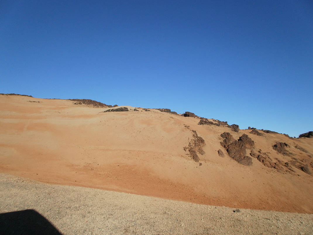
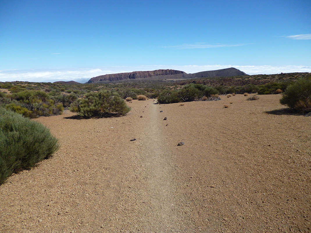
Despite the elevation gain, the slope only climbs somewhat steeply in the upper section. And since the ground underfoot is almost entirely compacted pumice stone, the going is relatively easy. 

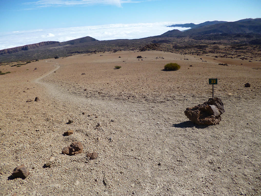
The route starts at the crossroads of PNT 01 (La Fortaleza) and PNT 25 (Recibo Quemado) from the Orotava Valley, shortly before reaching Llano de Los Guancheros. From here it takes you away from the escarpments of Cabezón de Tigaiga and La Fortaleza as you climb towards Montaña Blanca. 

At its end it joins trail PNT 06 (Montaña de Los Tomillos), very near to trail PNT 7, which climbs towards the top of Montaña Blanca and Mount Teide. 

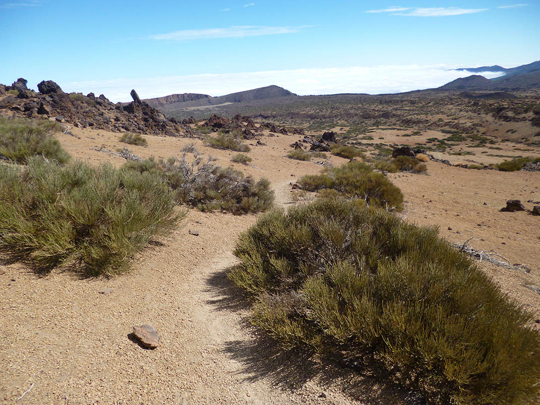
The dominant plant species along the route is Teide white broom or retama (Spartocytisus supranubius), together with other species such as flixweed or hierba pajonera (Descurainia bourgaeana).

Tips

  • Always stay on the marked trail and do not enter private property, hunting grounds, water galleries, wells or caves. 
  • Pay special attention when crossing or walking along trails used by bicycles, horses or motor vehicles and when walking in ravines with water courses.
  • Avoid direct encounters with potentially dangerous animals, such as livestock, beehives, and dogs. 
  • Proceed with caution and watch for obstacles, loose rocks, uneven terrain or steep slopes to avoid accidents and falls.
  • Check out our guide to hiking in Tenerife and, if necessary, contact the emergency services by calling 112.


Recommendations and tips

Permits

Free access for all visitors, no reservation required.

More information

Technical information sheet

Route information

Walking route

Tenerife ON

Linear

5,11 km

2 h 35 m

62,11 m

466,19 m

One way with fitness level 3/5

  • Altitude gain:62,11 m

  • Altitude loss:466,19 m

  • Maximum altitude:2.479,52 m

  • Minimum altitude:2.053,85 m

Signage

Route code

PNT-22

Signposts and waymarkers with the code of the trail on dark green panels.

Signage

Route map and profile

Elevation profile

Difficulty

Low *MIDE safe mountain criteria

  • Maximum altitude:2.479,52 m

  • Minimum altitude:2.053,85 m

Connections with other routes

How to get to route start point

PNT 01 (La Fortaleza) and PNT 25 (Recibo Quemado).

Trailhead only accessible on foot from trails PNT 01 (La Fortaleza), PNT 25 (Recibo Quemado) and PR TF 41 (Playa del Socorro - Pico Teide).

Trailhead only accessible on foot from trails PNT 01 (La Fortaleza), PNT 25 (Recibo Quemado) and PR TF 41 (Playa del Socorro - Pico Teide).

How to get to route end point

Montaña de Los Conejos.

End point only accessible on foot from trails PNT 06 (Montaña de los Tomillos) and PR TF 41 (Playa del Socorro - Pico Teide).

End point only accessible on foot from trails PNT 06 (Montaña de los Tomillos) and PR TF 41 (Playa del Socorro - Pico Teide).

Municipalities passed through

  • La Orotava

Protected Areas

Transit

Parque Nacional del Teide

The Teide National Park is the best exampleof the high-mountain landscape of the Canary Islands.  It is a breathtaking setting where you can learn about some of the most spectacular volcanic ...

Discover the Protected Area
Parque Nacional del Teide

Transit

Monumento Natural El Teide

Visible from almost any point on the island, the Teide Natural Monument figures prominently in the mythical landscape of Tenerife and of the entire archipelago of the Canary Islands.  It is also of ...

Discover the Protected Area
Monumento Natural El Teide

Weather

Today, monday, in La Orotava


Clouds
Wind

3 km/h

Temperature

18ºC Maximum

14ºC Minimum

Rain

0%

3 day forecast

tuesday

19ºC Maximum

14ºC Minimum

wednesday

21ºC Maximum

16ºC Minimum

thursday

21ºC Maximum

16ºC Minimum