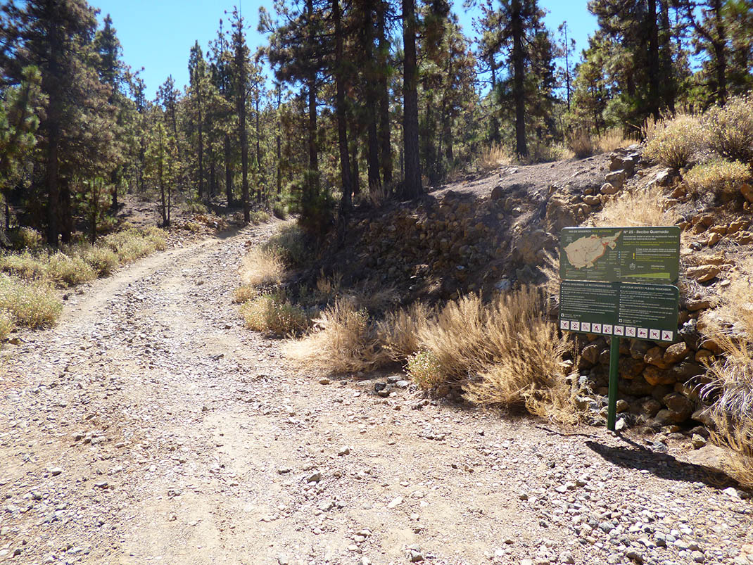
ePrivacy and GPDR Cookie Consent management by TermsFeed Privacy Policy and Consent Generator PNT 25 Recibo Quemado

PNT 25 Recibo Quemado

PNT-25

Teide National Park

Recibo Quemado
Recibo Quemado
Recibo Quemado
Recibo Quemado
Recibo Quemado
Recibo Quemado

Difficulty: Low

Description

This trail runs along a short section of one of the old footpaths leading up from the Orotava Valley to the mountain pastures. 

It links the lower boundary of the Teide National Park, near the stopping place known as Recibo Quemado on the TF-21 road, with trails PNT 01 (La Fortaleza) and PNT 22 (Lomo Hurtado). 

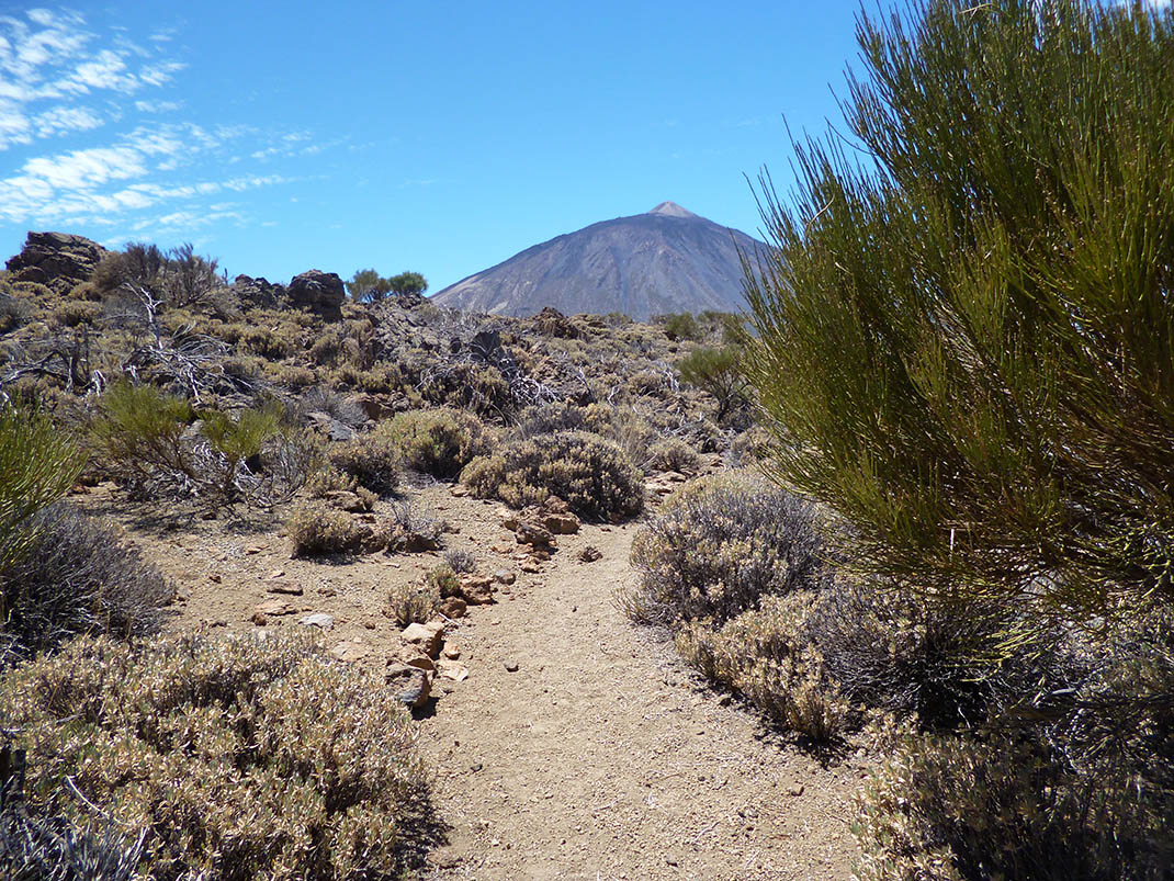
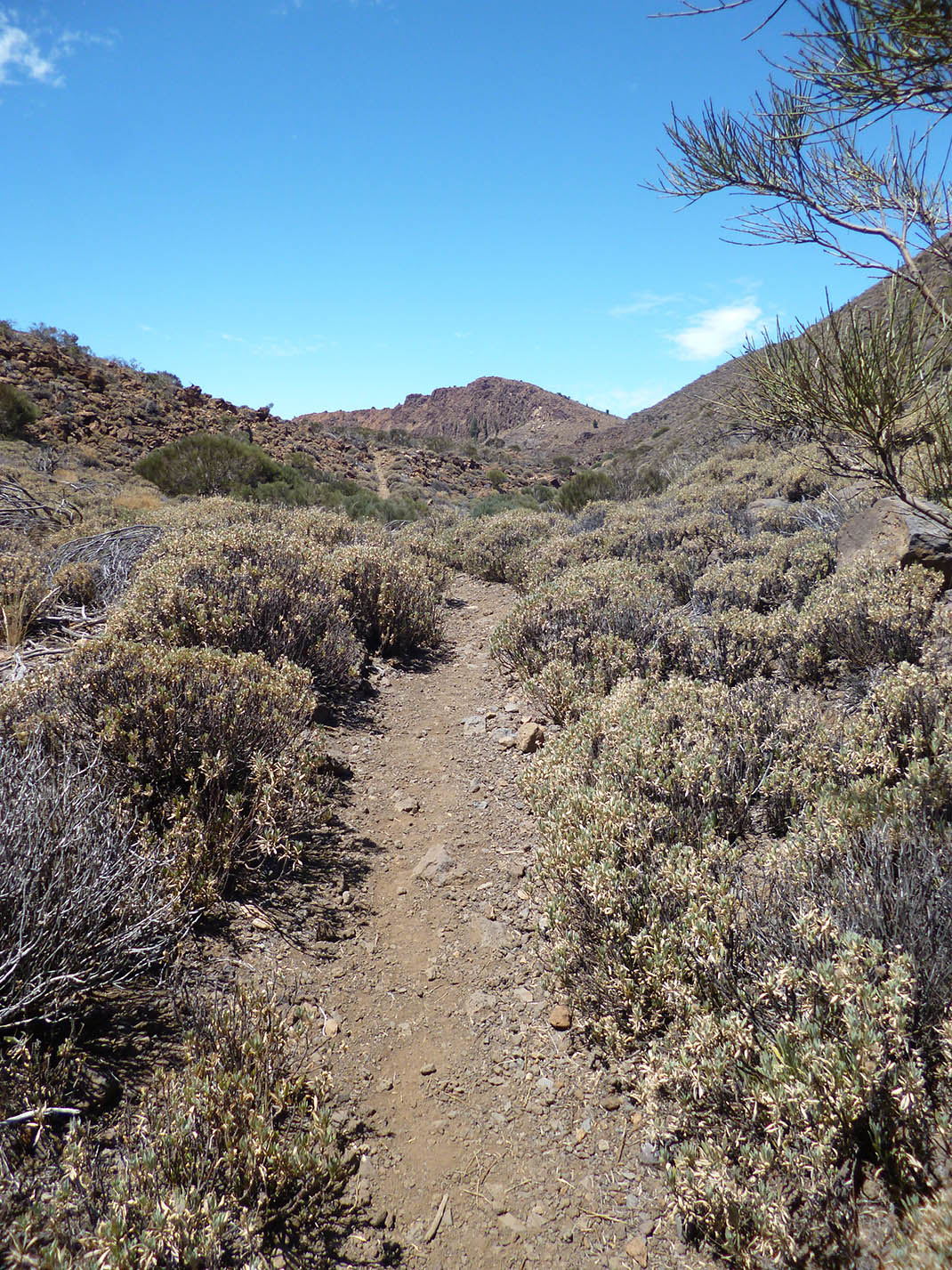
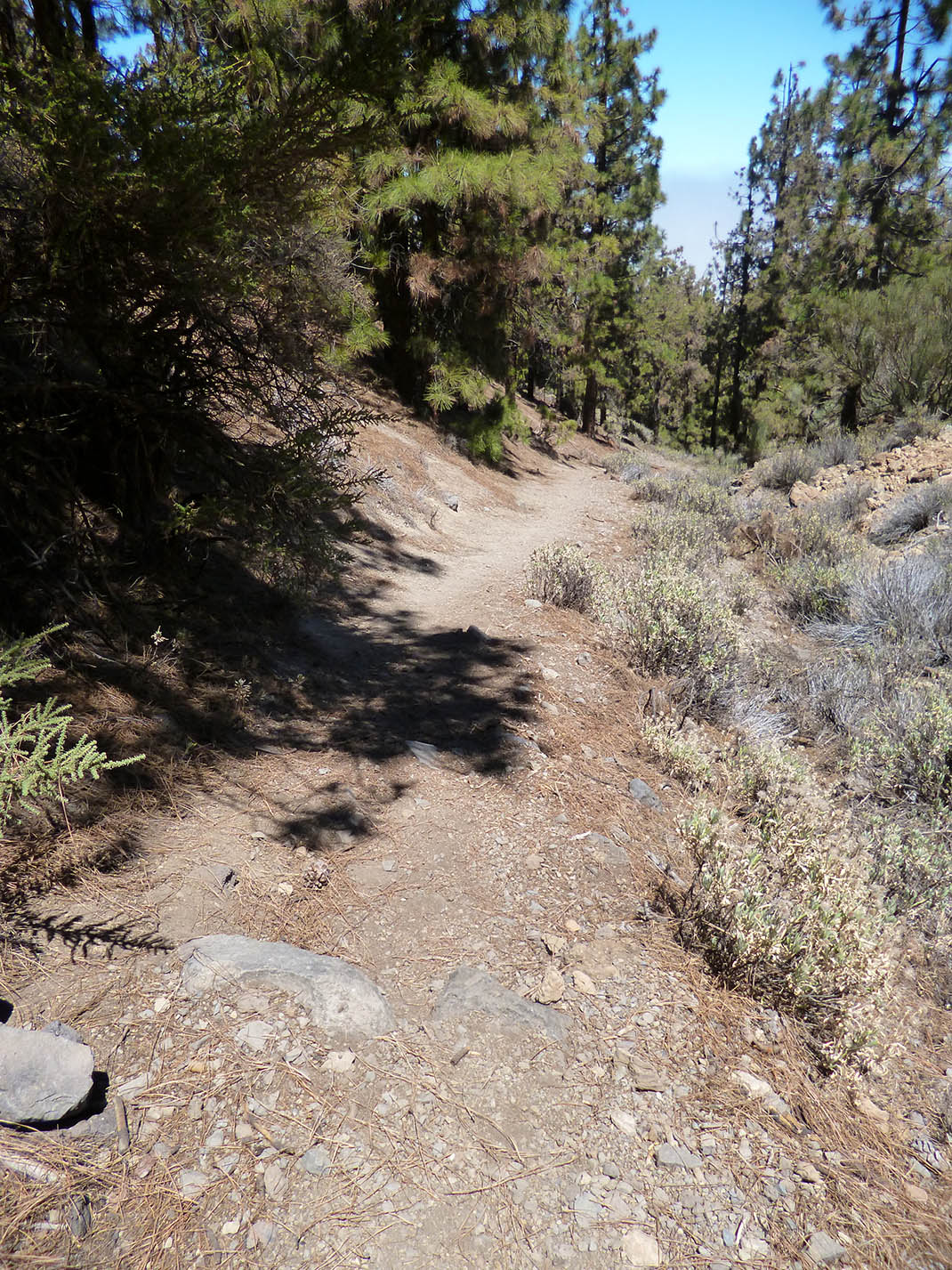
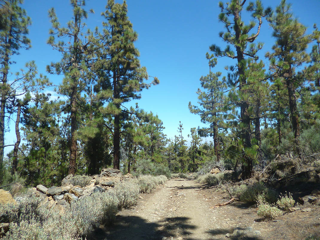
The path starts off through a Canary Island pine forest that gradually clears away until it gives way to mountain scrubland. When you reach this point you will be able to see the rocky slopes of El Cabezón and La Fortaleza, as well as Mount Teide and Montaña Blanca.

Tips

  • Always stay on the marked trail and do not enter private property, hunting grounds, water galleries, wells or caves.
  • Pay special attention when crossing or walking along trails used by bicycles, horses or motor vehicles and when walking in ravines with water courses.
  • Avoid direct encounters with potentially dangerous animals, such as livestock, beehives, and dogs. 
  • Proceed with caution and watch for obstacles, loose rocks, uneven terrain or steep slopes to avoid accidents and falls.
  • Check out our guide to hiking in Tenerife and, if necessary, contact the emergency services by calling 112.


Recommendations and tips

Permits

Free access for all visitors, no reservation required.

More information

Technical information sheet

Route information

Walking route

Tenerife ON

Linear

1,76 km

1 h 25 m

186,20 m

10,47 m

One way with fitness level 3/5

  • Altitude gain:186,20 m

  • Altitude loss:10,47 m

  • Maximum altitude:2.076,48 m

  • Minimum altitude:1.898,05 m

Signage

Route code

PNT-25

Signposts and waymarkers with the code of the trail on dark green panels.

Signage

Route map and profile

Elevation profile

Difficulty

Low *MIDE safe mountain criteria

  • Maximum altitude:2.076,48 m

  • Minimum altitude:1.898,05 m

Connections with other routes

How to get to route start point

Carretera de Las Cañadas (TF-21), km 29.7.

Bus number 348, Vuelta Grande bus stop code 4941.TITSA

No nearby parking spaces available.

How to get to route end point

PNT 01 (La Fortaleza) and PNT 22 (Lomo Hurtado).

End point only accessible on foot from trails PNT 01 (La Fortaleza), PNT 22 (Lomo Hurtado) and PR TF 41 (Playa del Socorro - Pico Teide).

End point only accessible on foot from trails PNT 01 (La Fortaleza), PNT 22 (Lomo Hurtado) and PR TF 41 (Playa del Socorro - Pico Teide).

Municipalities passed through

  • La Orotava
  • Los Realejos

Protected Areas

Transit

Parque Nacional del Teide

The Teide National Park is the best exampleof the high-mountain landscape of the Canary Islands.  It is a breathtaking setting where you can learn about some of the most spectacular volcanic ...

Discover the Protected Area
Parque Nacional del Teide

Transit

Parque Natural de la Corona Forestal

The Corona Forestal is the largest protected natural area in the Canary Islands, one of the most extensive forests on the islands, the lungs of Tenerife and the gateway to Mount Teide.  As its name ...

Discover the Protected Area
Parque Natural de Corona Forestal

Weather

Today, monday, in Los Realejos


Clouds
Wind

3 km/h

Temperature

19ºC Maximum

14ºC Minimum

Rain

0%

3 day forecast

tuesday

20ºC Maximum

15ºC Minimum

wednesday

21ºC Maximum

17ºC Minimum

thursday

21ºC Maximum

17ºC Minimum