ePrivacy and GPDR Cookie Consent management by TermsFeed Privacy Policy and Consent Generator PR TF 43.2 Los Partidos - Chinyero

PR TF 43.2 Los Partidos - Chinyero

PR-TF 43.2

Chinyero

Los Partidos - Chinyero

Difficulty: Low

Description

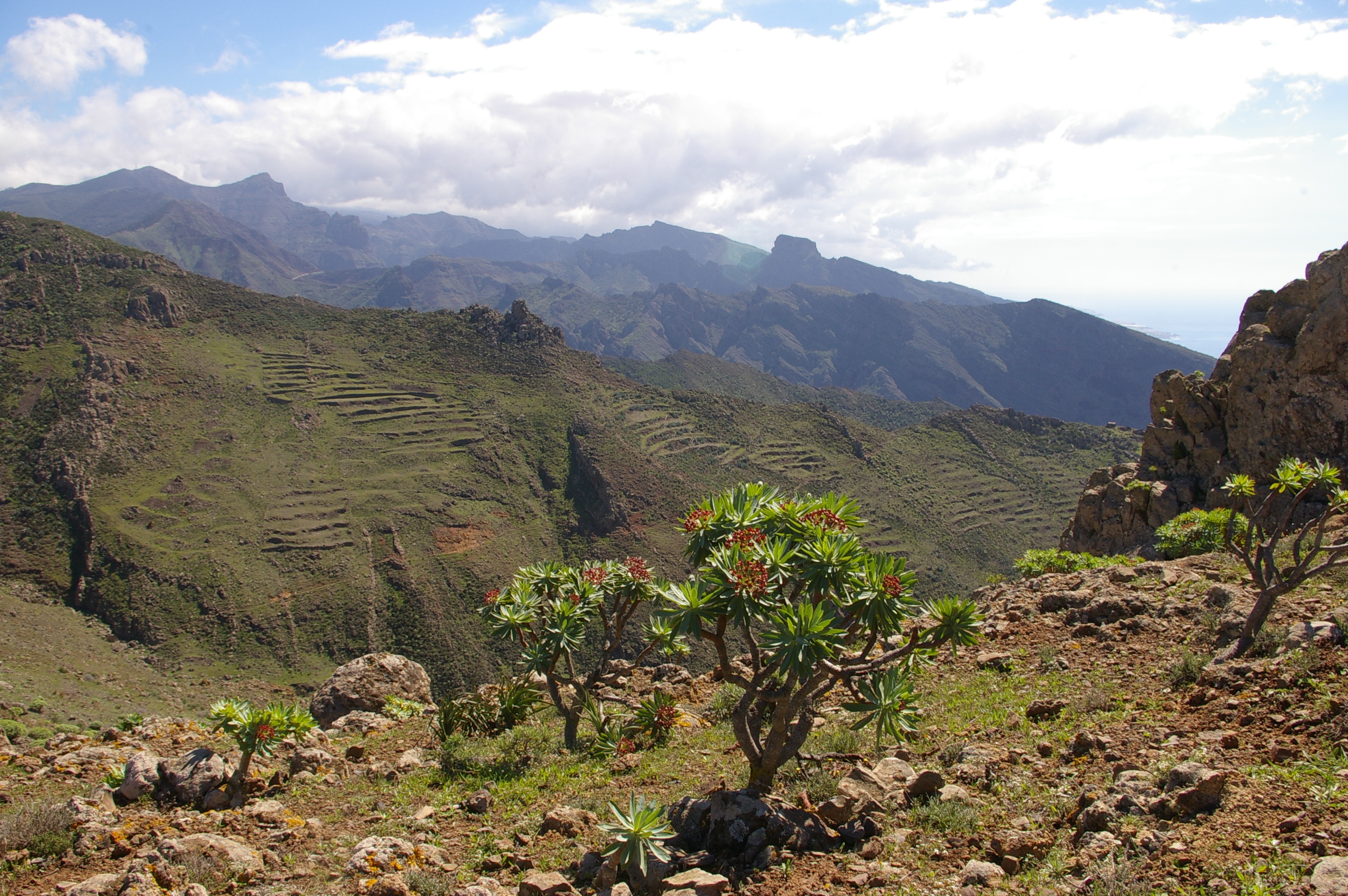
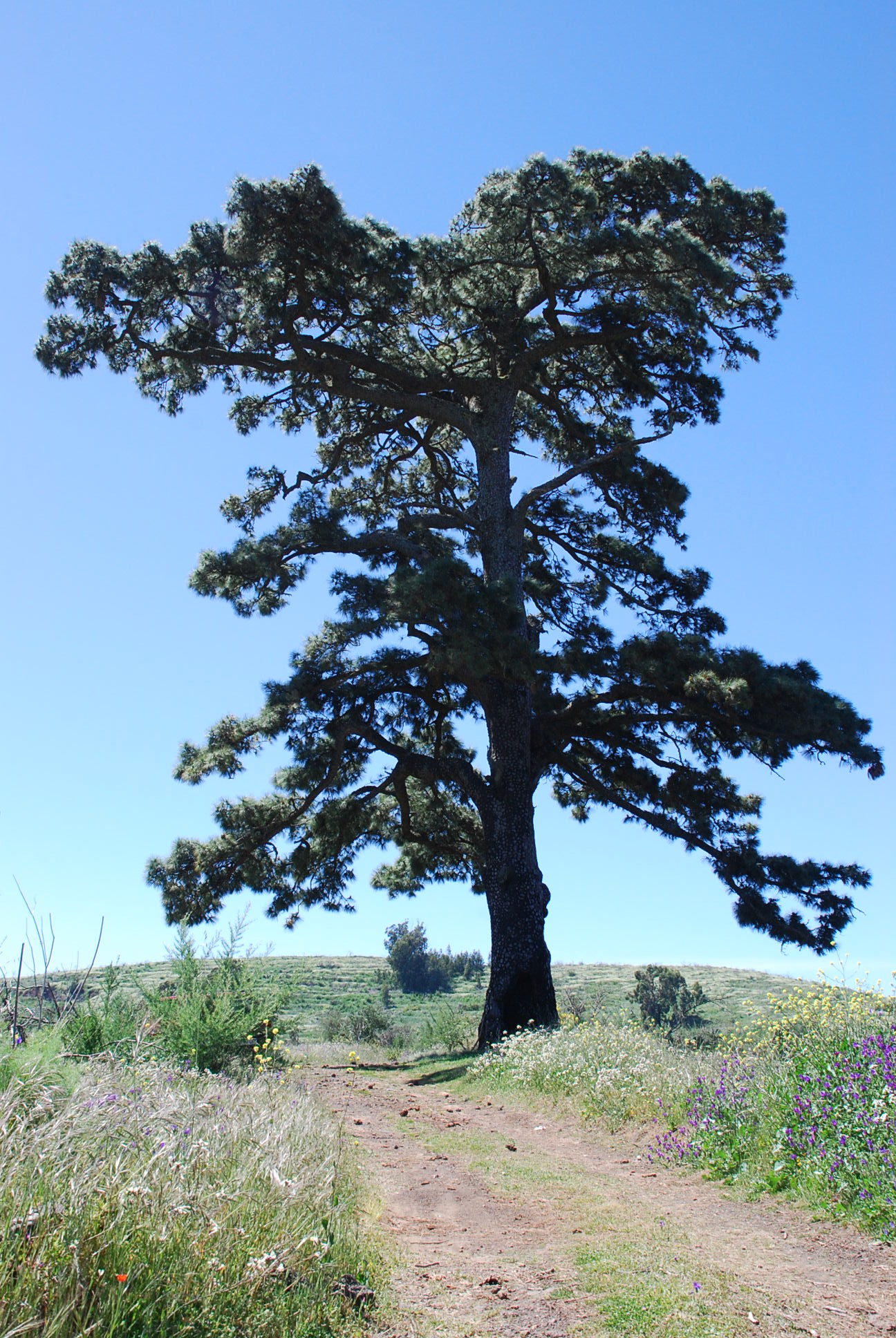
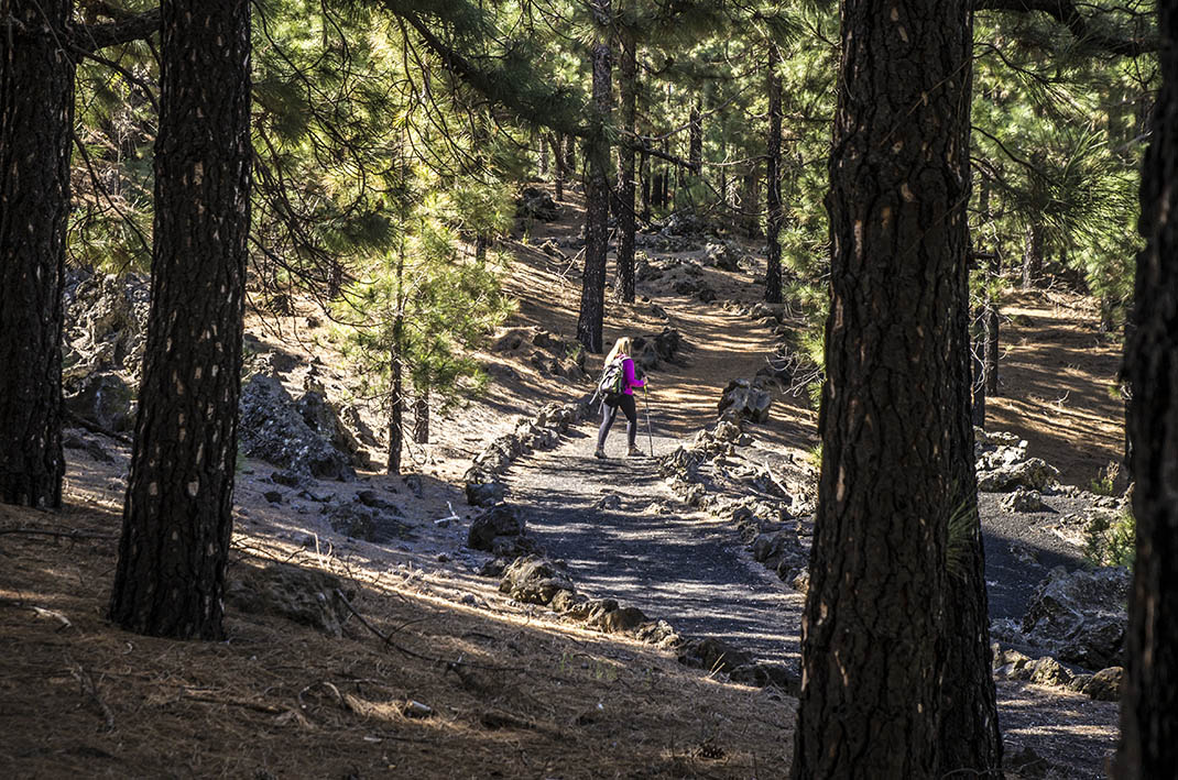
This beautiful path through pine forests and volcanic terrain begins at Los Partidos de Franchis, next to the roundabout where the bus drops you off. 

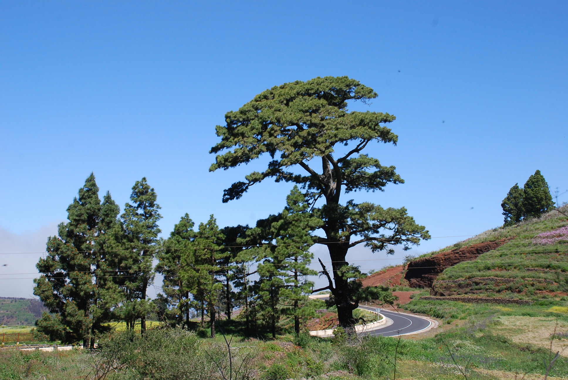
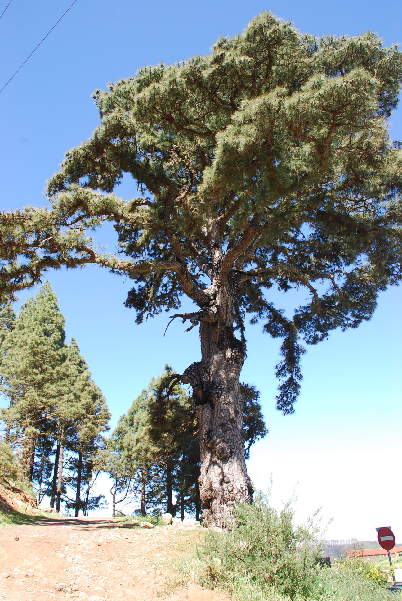
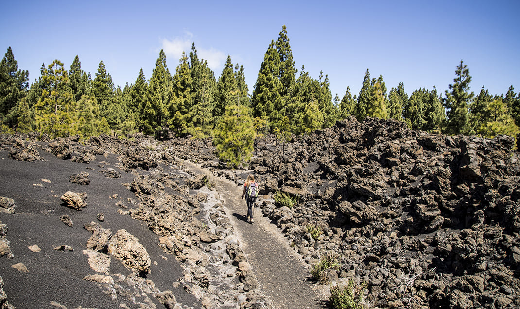
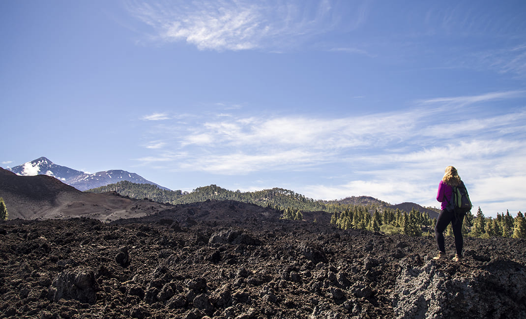
From this point, join the Pino Loro track to enter a landscape of contrasts between black volcanic lava flows and the vibrant green of the pine forest. 

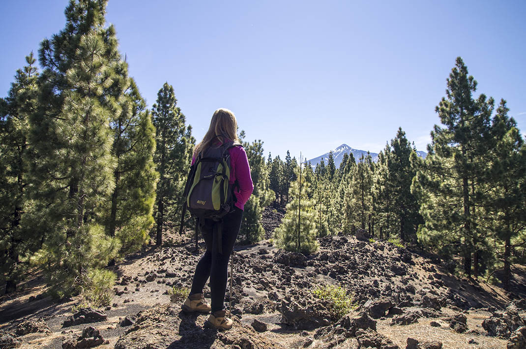
The track ascends until you reach Montaña de Los Riegos, where you must take an old path to connect with the famous Canal de Vergara, which climbs steadily until you reach the slopes of Montaña de la Cruz. 

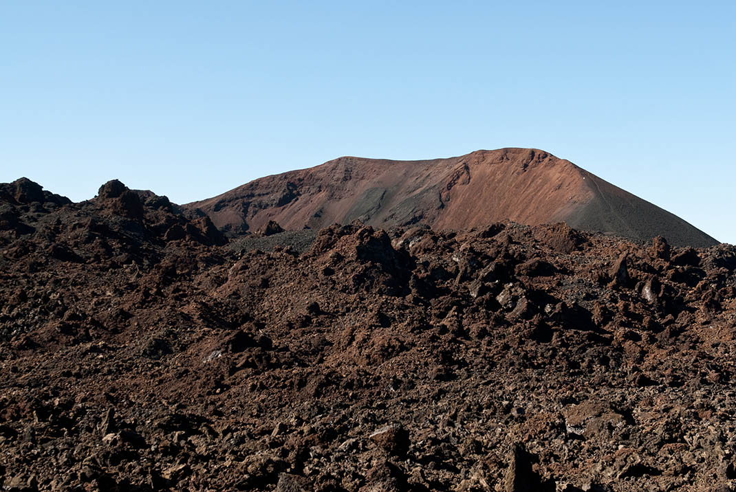
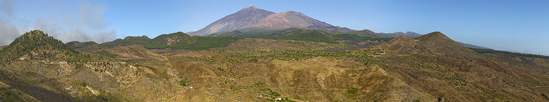
Here the route connects with the main PR TF 43 trail (Garachico - Montaña Chinyero) where the route ends with fantastic panoramic views of the last volcanic eruption recorded in Tenerife at the beginning of the 20th century.

Tips

  • Always stay on the marked trail and do not enter private property, hunting grounds, water galleries, wells or caves. 
  • Pay special attention when crossing or walking along trails used by bicycles, horses or motor vehicles and when walking in ravines with water courses.
  • Avoid direct encounters with potentially dangerous animals, such as livestock, beehives, and dogs. 
  • Proceed with caution and watch for obstacles, loose rocks, uneven terrain or steep slopes to avoid accidents and falls.
  • Check out our guide to hiking in Tenerife and, if necessary, contact the emergency services by calling 112.


Recommendations and tips

Guides

No data available

Permits

  • [TEMPORARY MEASURE] Free access without authorisation or reservation for natural or legal entities of a public or private nature, both non-profit (town councils, schools, associations, clubs, etc.) and for-profit (active tourism companies), until 31 December 2024 as established in the Resolution.
  • Free access for all other visitors, no reservation required.
  • Email for enquiries - This email address is being protected from spambots. You need JavaScript enabled to view it.
More information

Technical information sheet

Route information

Walking route

Tenerife ON

Linear

4,85 km

1 h 35 m

349,68 m

59,41 m

  • Altitude gain:349,68 m

  • Altitude loss:59,41 m

  • Maximum altitude:1.427,63 m

  • Minimum altitude:1.133,56 m

Signage

Route code

PR-TF 43.2

Posts and signs displaying the PR code and yellow and white marks.

Signage

Route map and profile

Elevation profile

Difficulty

Low *MIDE safe mountain criteria

  • Maximum altitude:1.427,63 m

  • Minimum altitude:1.133,56 m

Connections with other routes

How to get to route start point

Pista Partidos de Franquis.

Bus number 360, Los Llanos bus stop code 4603. TITSA

Unregulated and unpaved parking area in the vicinity.

How to get to route end point

Chinyero.

Area of Chinyero only accessible on foot.

Area of Chinyero only accessible on foot.

Municipalities passed through

  • El Tanque
  • Santiago del Teide

Protected Areas

Transit

Reserva Natural Especial del Chinyero

The Chinyero Special Nature Reserve is located on the Abeque ridge, one of the three volcanic rifts on the island and the most active at present. Two historical eruptions have taken place here: ...

Discover the Protected Area
Reserva Natural Especial del Chinyero

Transit

Parque Rural de Teno

Teno Rural Park is located in north-west Tenerife, in one of the first parts of the island to emerge from the sea, containing materials that are between 6 and 7 million years old.  Erosion has ...

Discover the Protected Area
Parque Rural de Teno

Weather

Today, saturday, in El Tanque


Clouds
Wind

4 km/h

Temperature

18ºC Maximum

14ºC Minimum

Rain

0%

3 day forecast

sunday

17ºC Maximum

14ºC Minimum

monday

18ºC Maximum

13ºC Minimum

tuesday

18ºC Maximum

14ºC Minimum

Places of interest

These are some of the points of interest you can find along this route.

Pino_Loro
Monumental tree

Loro Pine

Its name comes from a laurel that grows on one of its forking trunks. Bramble, hare’s-foot fern...

Threshing Floor

Threshing Floors, El Tanque Ecomuseum

Various threshing floors on display for museum visitors.

...
Pino_Cercado_Las_Mulas
Monumental tree

Cercado de las Mulas Pine

With a hollow 230 centimetres high, 100 centimetres wide and 80 centimetres deep at 80...

Pino_Nica
Monumental tree

Nica Pine

With a hollow 170 centimetres high, 85 centimetres wide and 60 centimetres deep. A solitary tree...

Museum

El Tanque Ecomuseum

The El Tanque Ecomuseum houses an exhibition on life in Partido de Abajo, the name formerly given...