ePrivacy and GPDR Cookie Consent management by TermsFeed Privacy Policy and Consent Generator PR TF 43.1 San José de Los Llanos- Montaña Chinyero

PR TF 43.1 San José de Los Llanos- Montaña Chinyero

PR-TF 43.1

Altos de Garachico

San José de los Llanos- Montaña Chinyero

Difficulty: Low

Description

This is a branch of the PR TF 43 trail that leaves from the square in San José de los Llanos (El Tanque) and heads through pine forests towards the Chinyero volcano. 

The trail passes Montaña de La Quebrada, where there is a calvary, and continues on, leaving Montaña del Banco on your right. 

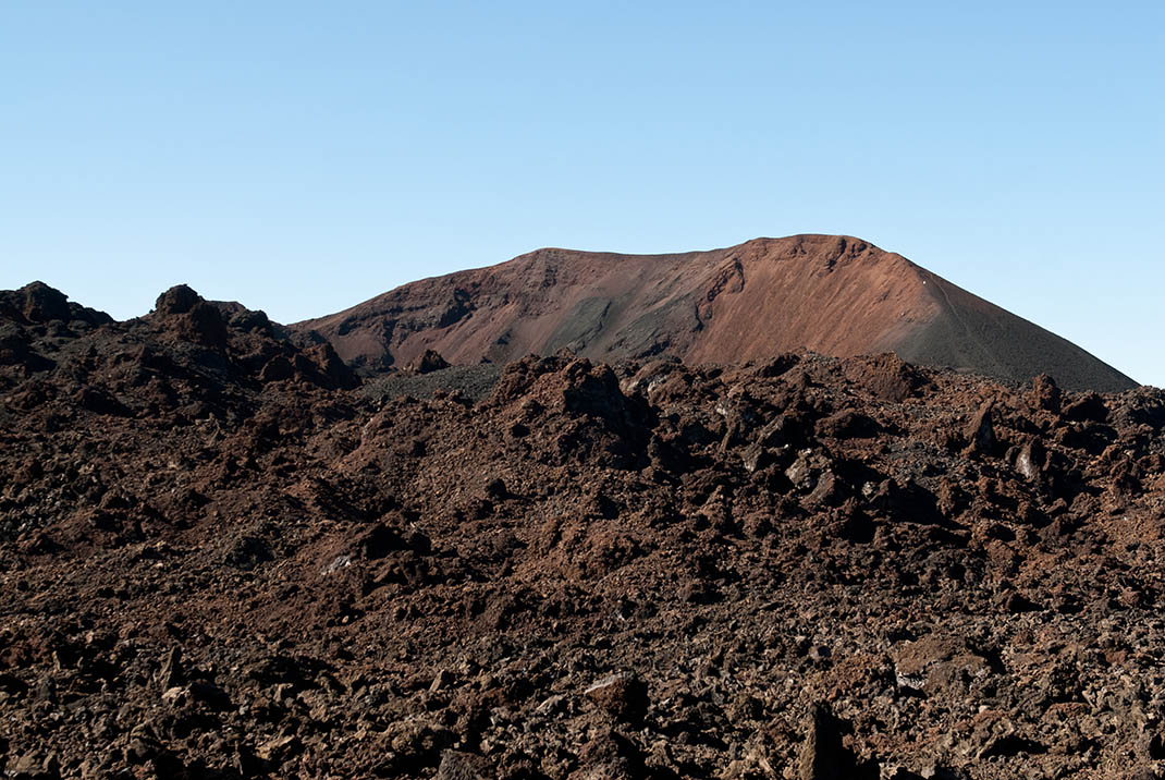
The route continues towards Montaña de la Atalaya or Volcán de Trevejos, where you will enjoy magnificent views of Montaña Negra or Arenas Negras, and then cross the hidden Canal de Vergara. 

From here you will walk along a track of volcanic lapilli next to lava flows up to the slopes of Pico de las Flores. The final stretch will connect you with the PR-TF 43 trail, the end of the route.

Tips

  • Always stay on the marked trail and do not enter private property, hunting grounds, water galleries, wells or caves.  
  • Pay special attention when crossing or walking along trails used by bicycles, horses or motor vehicles and when walking in ravines with water courses.
  • Avoid direct encounters with potentially dangerous animals, such as livestock, beehives, and dogs. 
  • Proceed with caution and watch for obstacles, loose rocks, uneven terrain or steep slopes to avoid accidents and falls. 
  • Check out our guide to hiking in Tenerife and, if necessary, contact the emergency services by calling 112.
Recommendations and tips

Guides

No data available

Permits

  • [TEMPORARY MEASURE] Free access without authorisation or reservation for natural or legal entities of a public or private nature, both non-profit (town councils, schools, associations, clubs, etc.) and for-profit (active tourism companies), until 31 December 2024 as established in the Resolution.
  • Free access for all other visitors, no reservation required.
  • Email for enquiries - This email address is being protected from spambots. You need JavaScript enabled to view it.
More information

Technical information sheet

Route information

Walking route

Tenerife ON

Linear

4,47 km

1 h 20 m

326,82 m

43,05 m

One way with fitness level 3/5

  • Altitude gain:326,82 m

  • Altitude loss:43,05 m

  • Maximum altitude:1.389,46 m

  • Minimum altitude:1.105,68 m

Signage

Route code

PR-TF 43.1

Posts and signs displaying the PR code and yellow and white marks.

Signage

Route map and profile

Elevation profile

Difficulty

Low *MIDE safe mountain criteria

  • Maximum altitude:1.389,46 m

  • Minimum altitude:1.105,68 m

Connections with other routes

How to get to route start point

Plaza de la Iglesia de San José, Avenida Venezuela, San José de Los Llanos.

Bus number 360, San José de los Llanos bus stop code 4602. TITSA

Parking spaces available in the town.

How to get to route end point

Chinyero.

Area of Chinyero only accessible on foot.

Area of Chinyero only accessible on foot.

Municipalities passed through

  • El Tanque

Protected Areas

Transit

Reserva Natural Especial del Chinyero

The Chinyero Special Nature Reserve is located on the Abeque ridge, one of the three volcanic rifts on the island and the most active at present. Two historical eruptions have taken place here: ...

Discover the Protected Area
Reserva Natural Especial del Chinyero

Weather

Today, wednesday, in El Tanque


Clouds
Wind

6 km/h

Temperature

22ºC Maximum

17ºC Minimum

Rain

0%

3 day forecast

thursday

21ºC Maximum

17ºC Minimum

friday

19ºC Maximum

15ºC Minimum

saturday

18ºC Maximum

14ºC Minimum