ePrivacy and GPDR Cookie Consent management by TermsFeed Privacy Policy and Consent Generator PR TF 54 Las Moradas

PR TF 54 Las Moradas

PR-TF 54

Macizo de Teno

Las Moradas
Las Moradas
Las Moradas
Las Moradas
Las Moradas
Las Moradas

Difficulty: Medium

Description

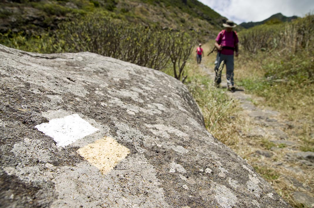
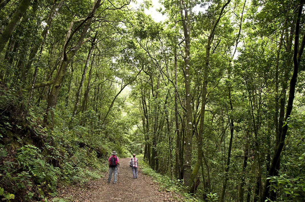
This trail sets off from La Plaza de Erjos and descends gently to the west along the Monte del Agua track through leafy laurel forest. 

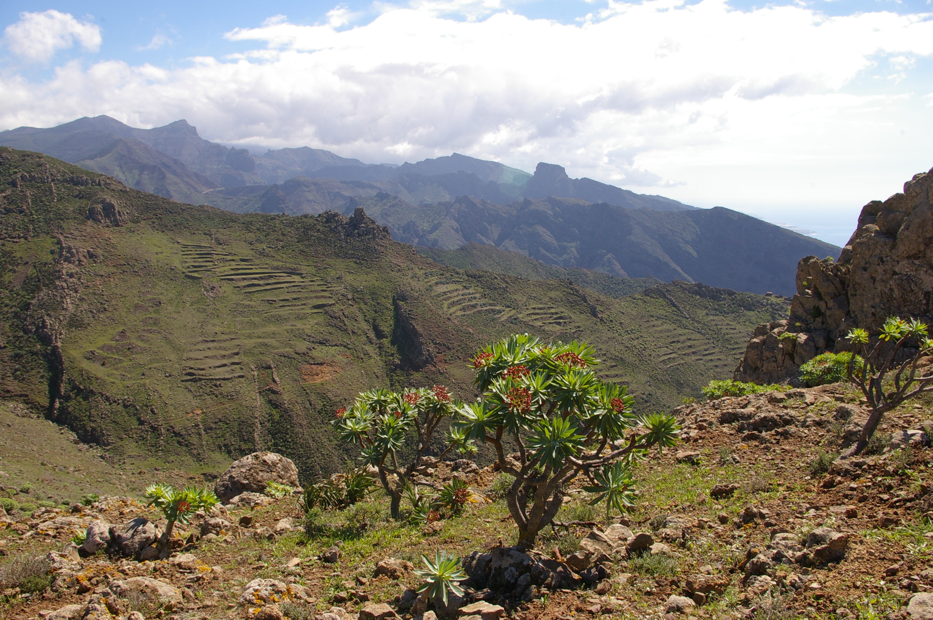
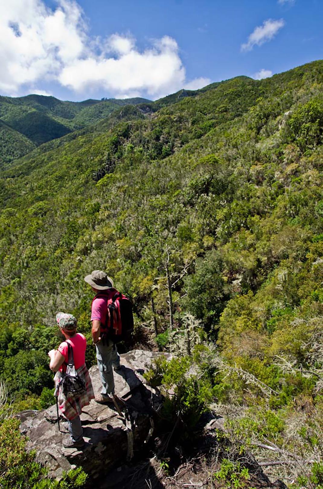
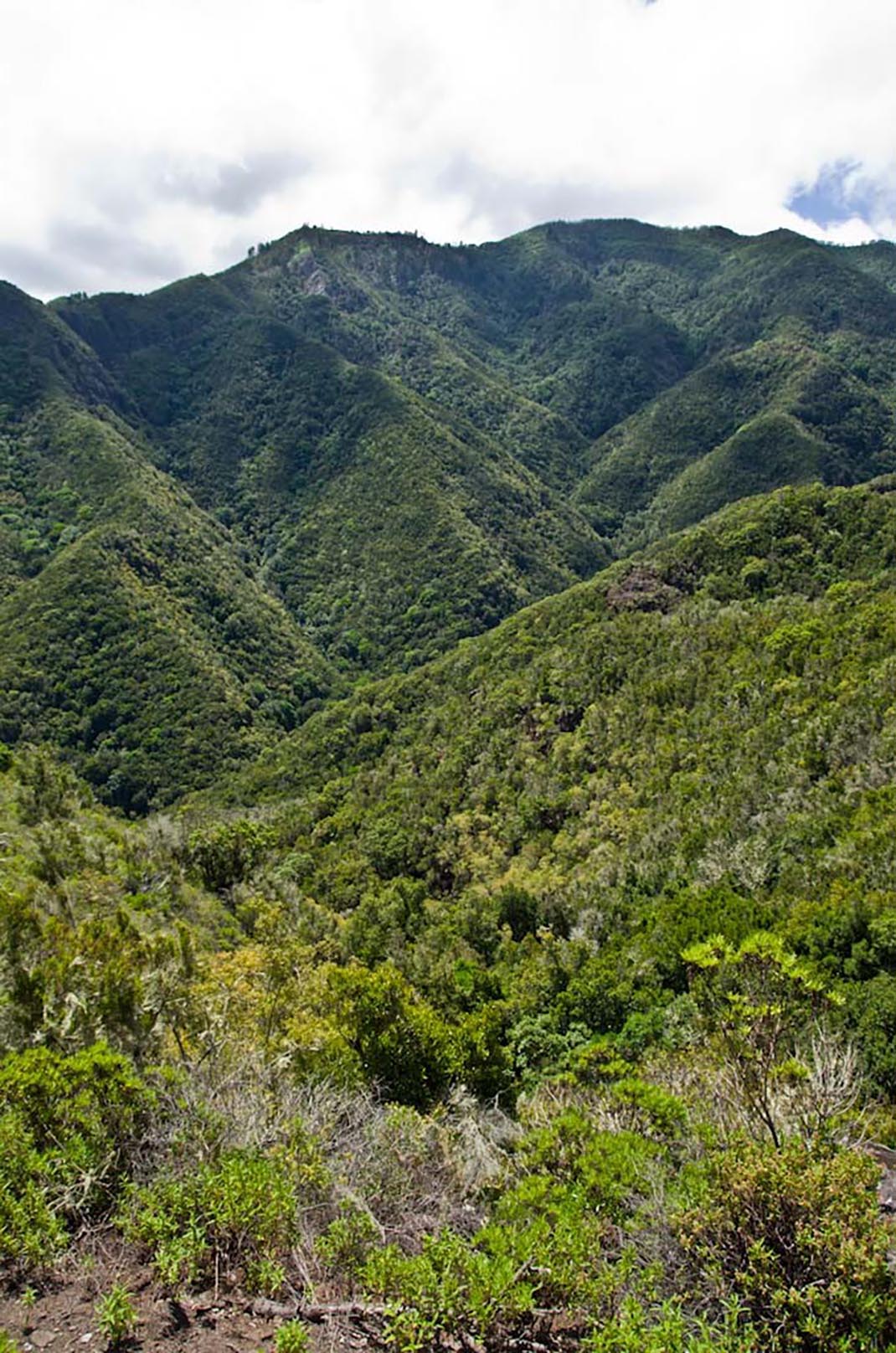
After walking 4 km, turn left to descend the hillside to Las Moradas Altas, where you can enjoy stunning panoramic views of the monteverde forests. The route follows the cobblestone remains of an ancient camino real (“royal road” or main island route), much of which is still preserved. 

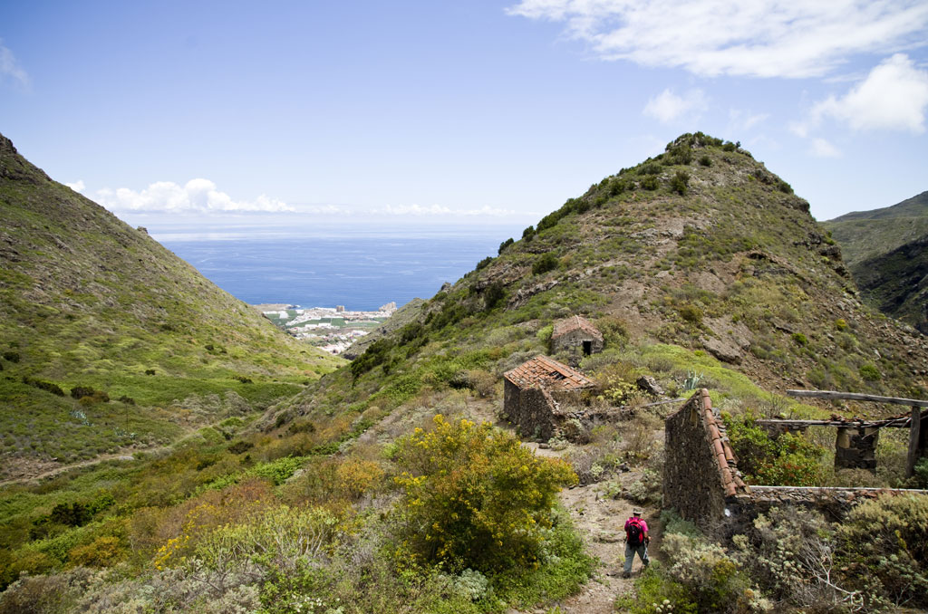
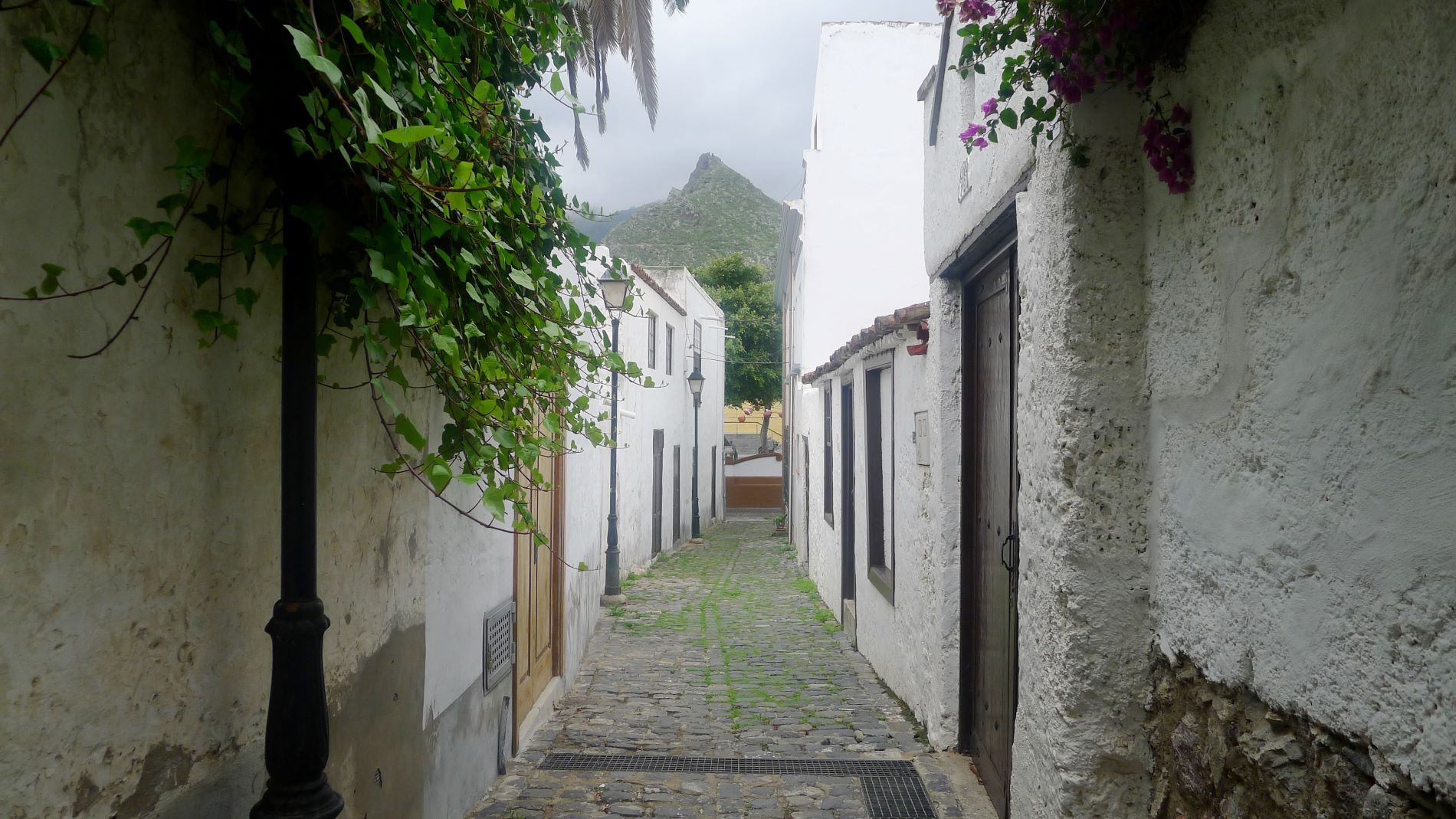
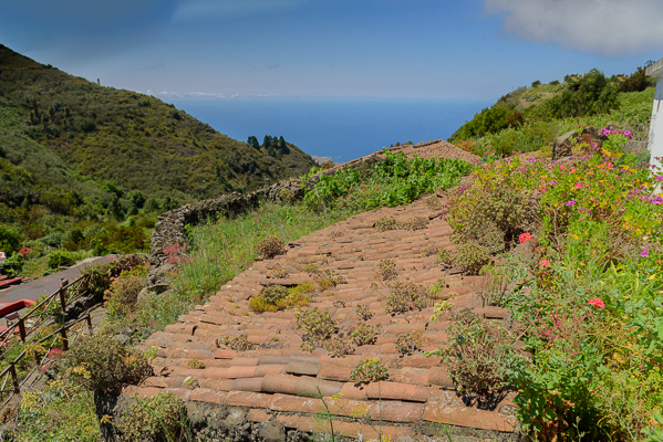
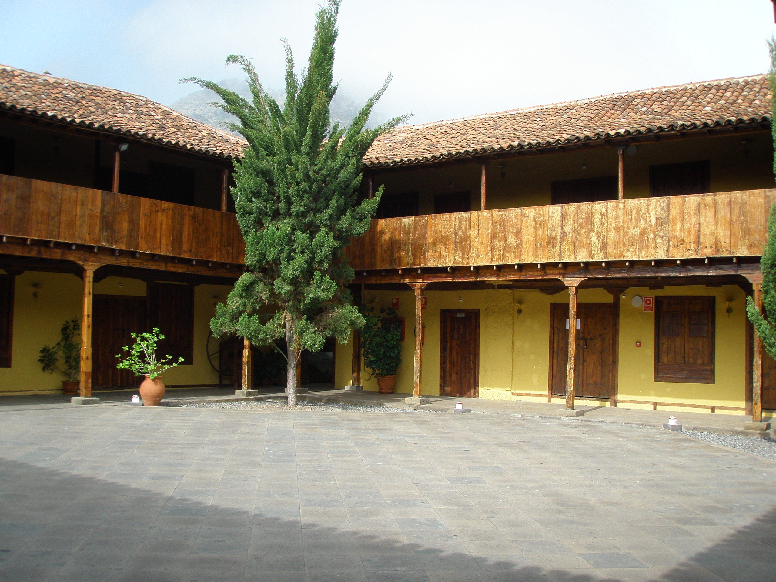
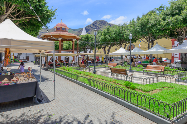
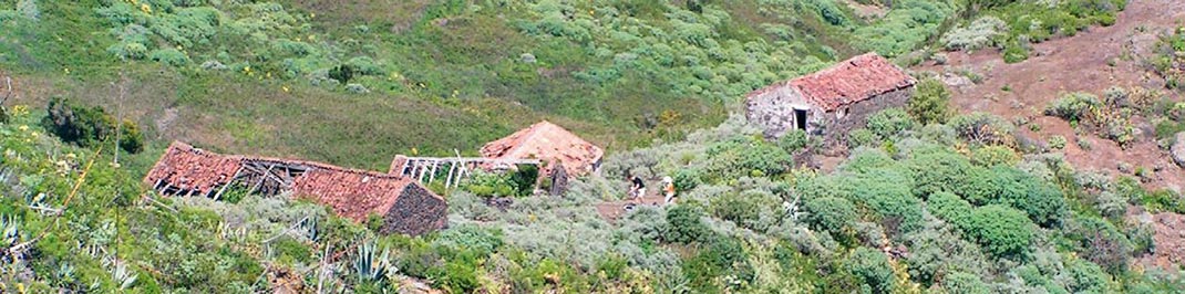
Continue the descent to Las Moradas Bajas, an old abandoned rural settlement typical of the traditional rural architecture of the Canary Islands. Shortly after, you will reach Calle Susana, at the end of which is the Los Silos church square, the end of the route.

Tips

  • Always stay on the marked trail and do not enter private property, hunting grounds, water galleries, wells or caves. 
  • Pay special attention when crossing or walking along trails used by bicycles, horses or motor vehicles and when walking in ravines with water courses.
  • Avoid direct encounters with potentially dangerous animals, such as livestock, beehives, and dogs. 
  • Proceed with caution and watch for obstacles, loose rocks, uneven terrain or steep slopes to avoid accidents and falls.
  • Check out our guide to hiking in Tenerife and, if necessary, contact the emergency services by calling 112.


Recommendations and tips

Guides

No data available

Permits

  • [TEMPORARY MEASURE] Free access without authorisation or reservation for natural or legal entities of a public or private nature, both non-profit (town councils, schools, associations, clubs, etc.) and for-profit (active tourism companies), until 31 December 2024 as established in the Resolution.
  • Free access for all other visitors, no reservation required.
  • Email for enquiries - This email address is being protected from spambots. You need JavaScript enabled to view it.
More information

Technical information sheet

Route information

Walking route

Tenerife ON

Linear

11,34 km

4 h 50 m

677,84 m

1.570,16 m

One way with fitness level 3/5

  • Altitude gain:677,84 m

  • Altitude loss:1.570,16 m

  • Maximum altitude:1.037,91 m

  • Minimum altitude:104,95 m

Signage

Route code

PR-TF 54

Posts and signs displaying the PR code and yellow and white marks.

Signage

Route map and profile

Elevation profile

Difficulty

Medium *MIDE safe mountain criteria

  • Maximum altitude:1.037,91 m

  • Minimum altitude:104,95 m

Connections with other routes

How to get to route start point

Ermita Nuestra Señora de la Sagrada Familia, Calle La Unión, Erjos.

Bus numbers 325, 392 and 460, Erjos bus stop code 4668. TITSA

Parking spaces available in the village.

How to get to route end point

Plaza de la Iglesia, Calle Susana, Los Silos.

Bus number 363, Los Silos bus stop code 4453. TITSA

Parking spaces available in the village.

Municipalities passed through

  • El Tanque
  • Los Silos

Protected Areas

Transit

Parque Rural de Teno

Teno Rural Park is located in north-west Tenerife, in one of the first parts of the island to emerge from the sea, containing materials that are between 6 and 7 million years old.  Erosion has ...

Discover the Protected Area
Parque Rural de Teno

Weather

Today, saturday, in Los Silos


Clouds
Wind

8 km/h

Temperature

37ºC Maximum

25ºC Minimum

Rain

0%

3 day forecast

sunday

40ºC Maximum

27ºC Minimum

monday

38ºC Maximum

25ºC Minimum

tuesday

36ºC Maximum

24ºC Minimum

Places of interest

These are some of the points of interest you can find along this route.

Convento_Los_Silos
Tourist Information Point

Los Silos Tourist Information Office.

Los Silos Tourist Information Office.

...
Plaza_Luz_Silos
Unique building

Los Silos Farmers’ Market

Variety of fruit and vegetables, spices, sweets and cakes, cheeses and wine.

...
Caserio_Las_Moradas
Hamlet

Caserío de Las Moradas

Abandoned hamlet that bears witness to how the settlers survived after the conquest by exploiting...

Antiguo_Convento_Franciscano_Los_Silos
Heritage of Cultural Interest

Former San Bernardo Convent - BIC (Asset of Cultural Interest) Monument

The convent of San Bernardo was founded on 31 August 1649 by Captain Sebastián Pérez Enríquez...

Nuestra_Senora_Luz
Unique building

Iglesia Parroquial de Nuestra Señora de la Luz (2)

The first religious building to be built in Guía de Isora, in the 16th century. It has three...

Conjunto_Historico_Los_Silos
Heritage of Cultural Interest

Los Silos Conservation Area - BIC (Asset of Cultural Interest) Conjunto histórico (Conservation Area)

The agricultural past of Los Silos is extremely evident throughout the history of the...

Caserio de Erjos
Hamlet

Erjos

Village located 14 kilometres from the centre of Los Silos. Given over mainly to agriculture and...