


Prefer to go it alone?
Plan your next adventure
Tailor your own route along Tenerife’s trails quickly and easily..
Go to planner

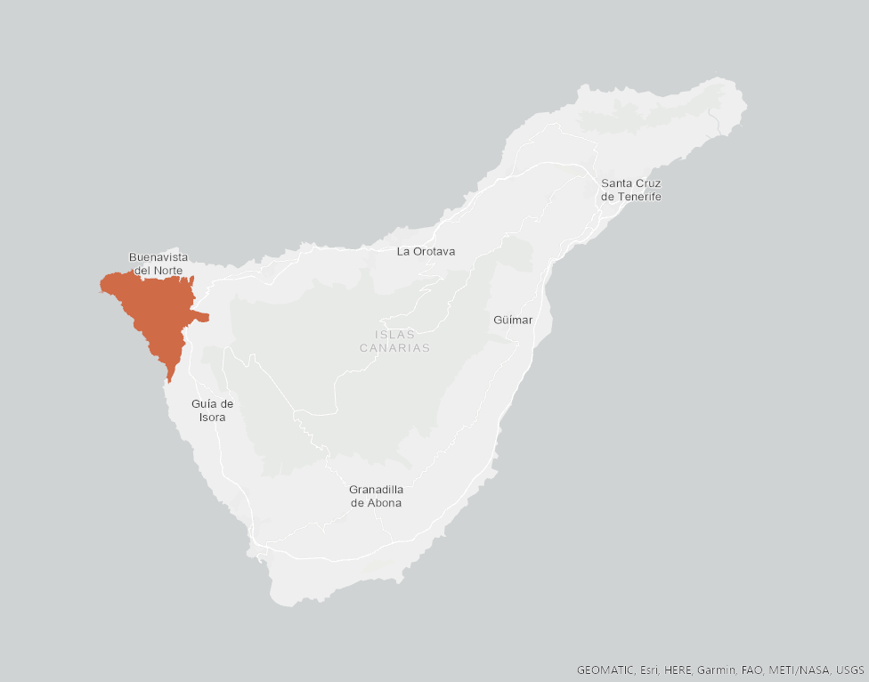
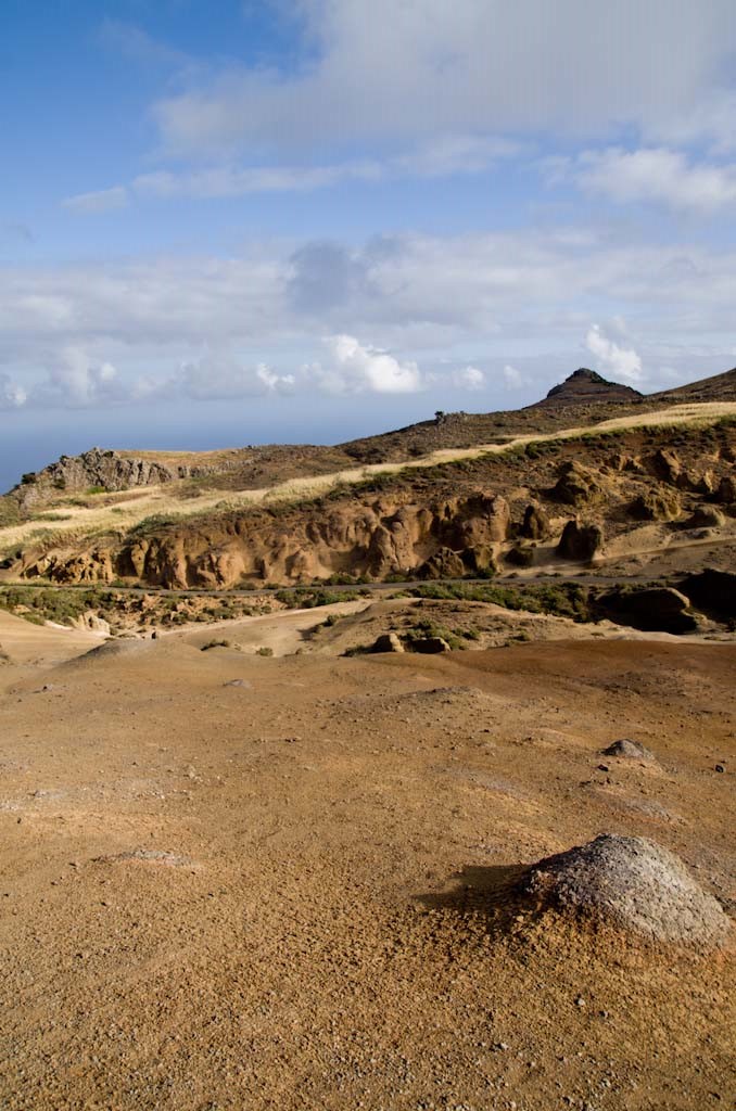
Teno Rural Park is located in north-west Tenerife, in one of the first parts of the island to emerge from the sea, containing materials that are between 6 and 7 million years old.
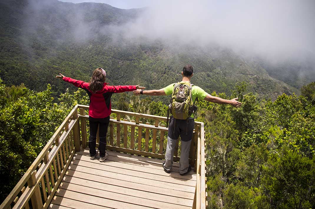
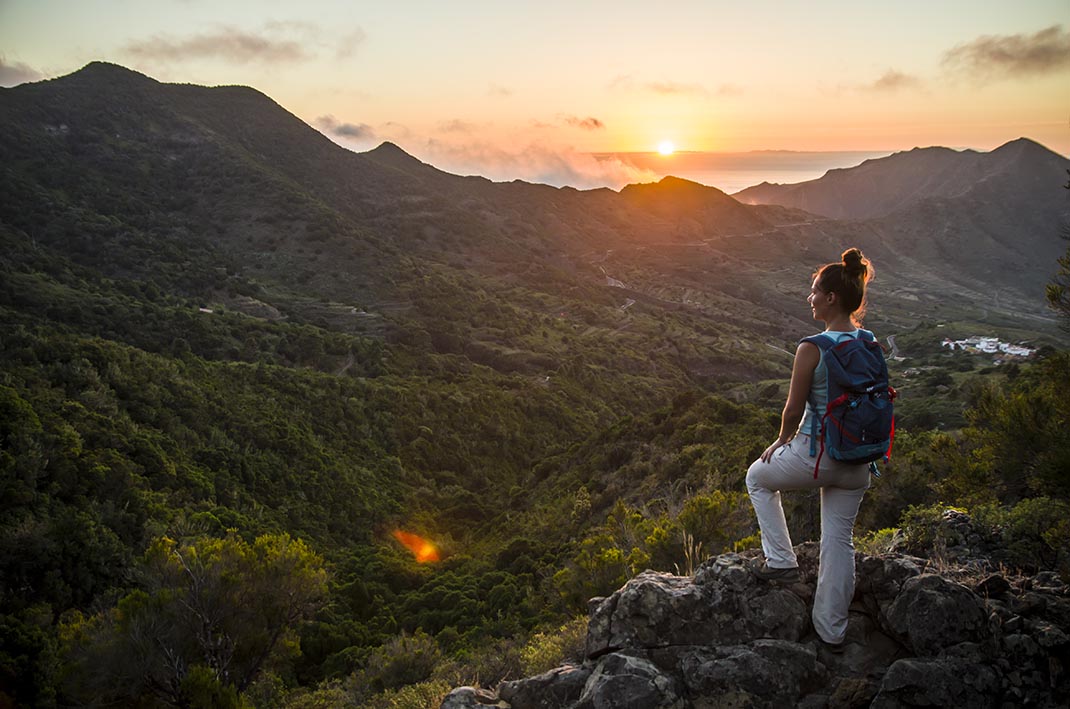
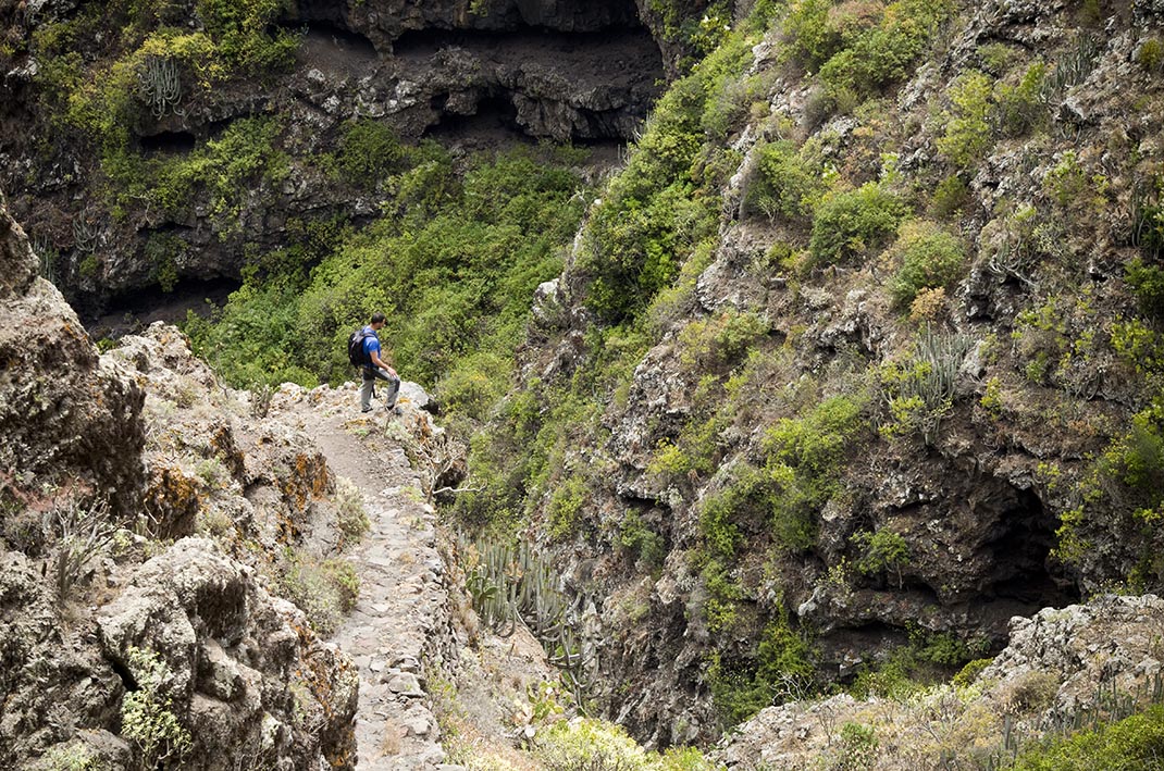
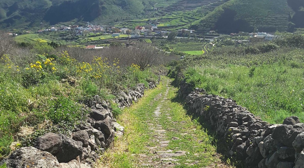
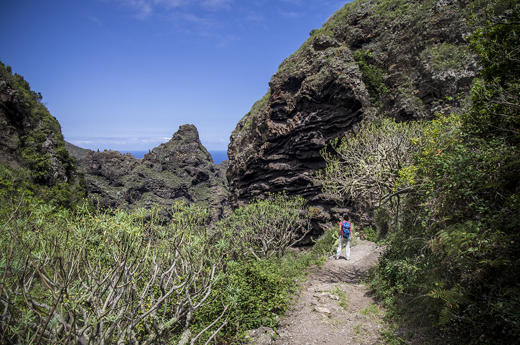
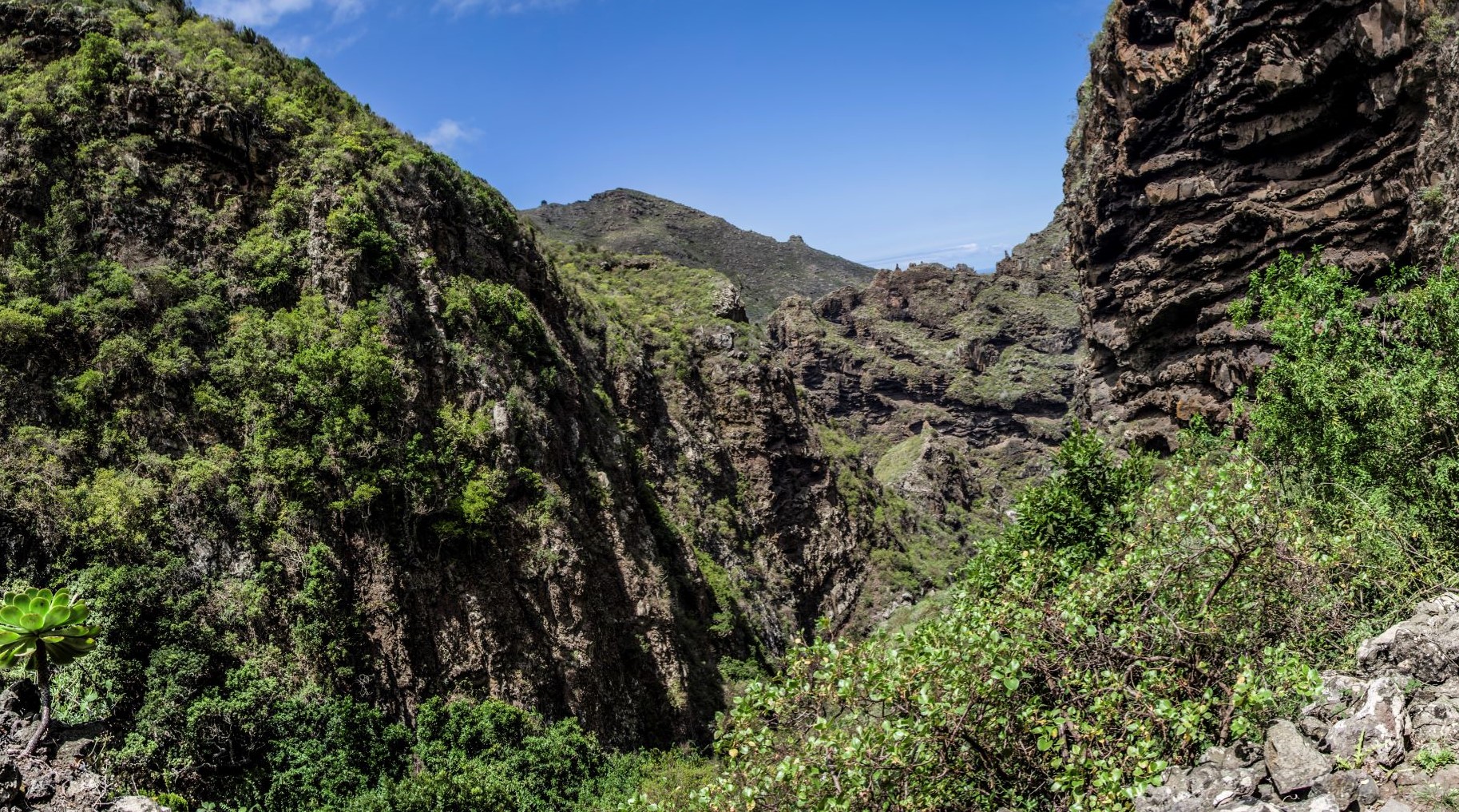
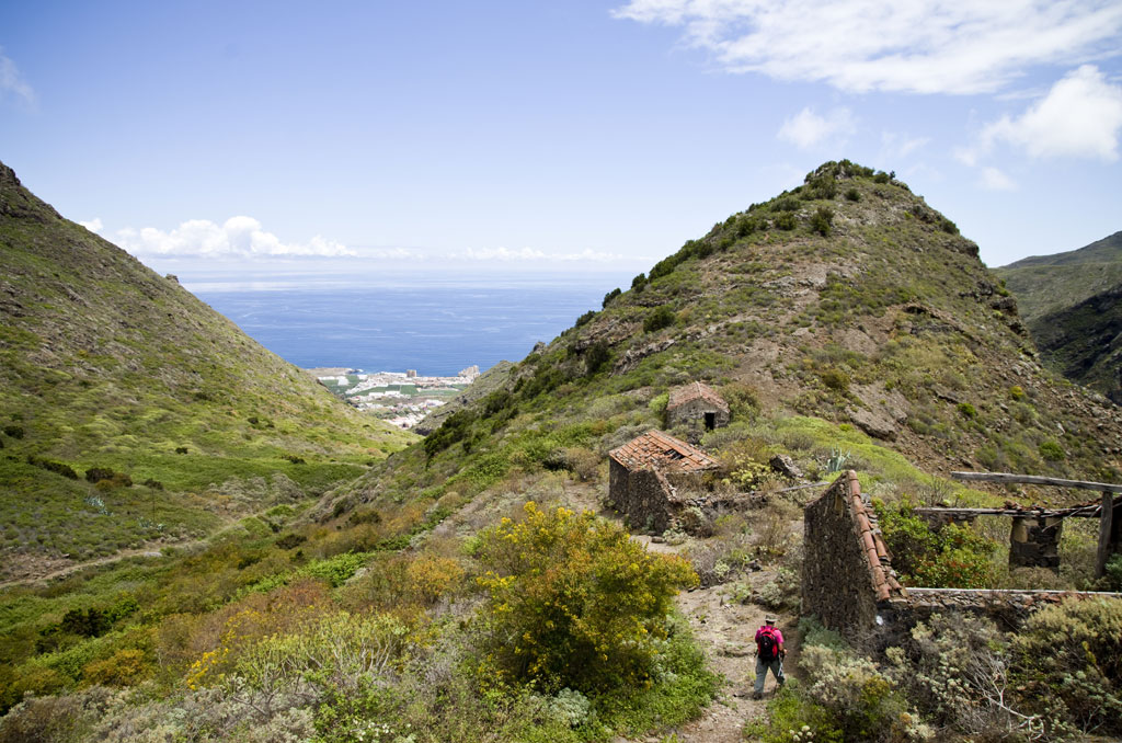
Erosion has shaped the landscape over the ages, carving out deep ravines that run through these lands from summit to coast. The views from the heads of the ravines are breathtaking.
Recommended time to visit: Spring and Autumn.
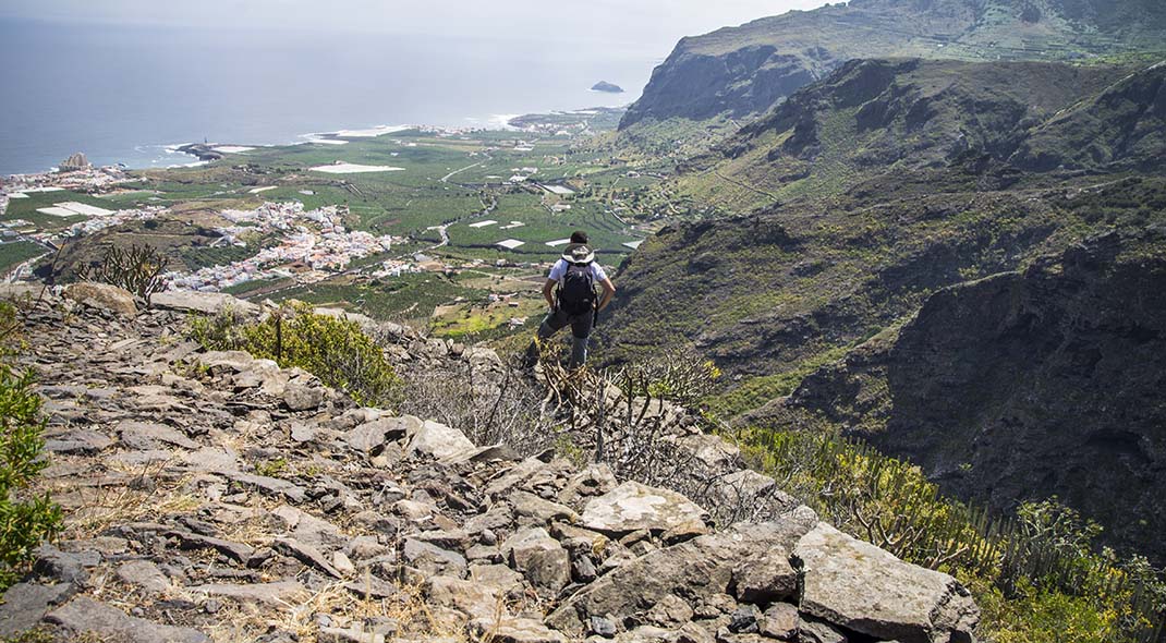
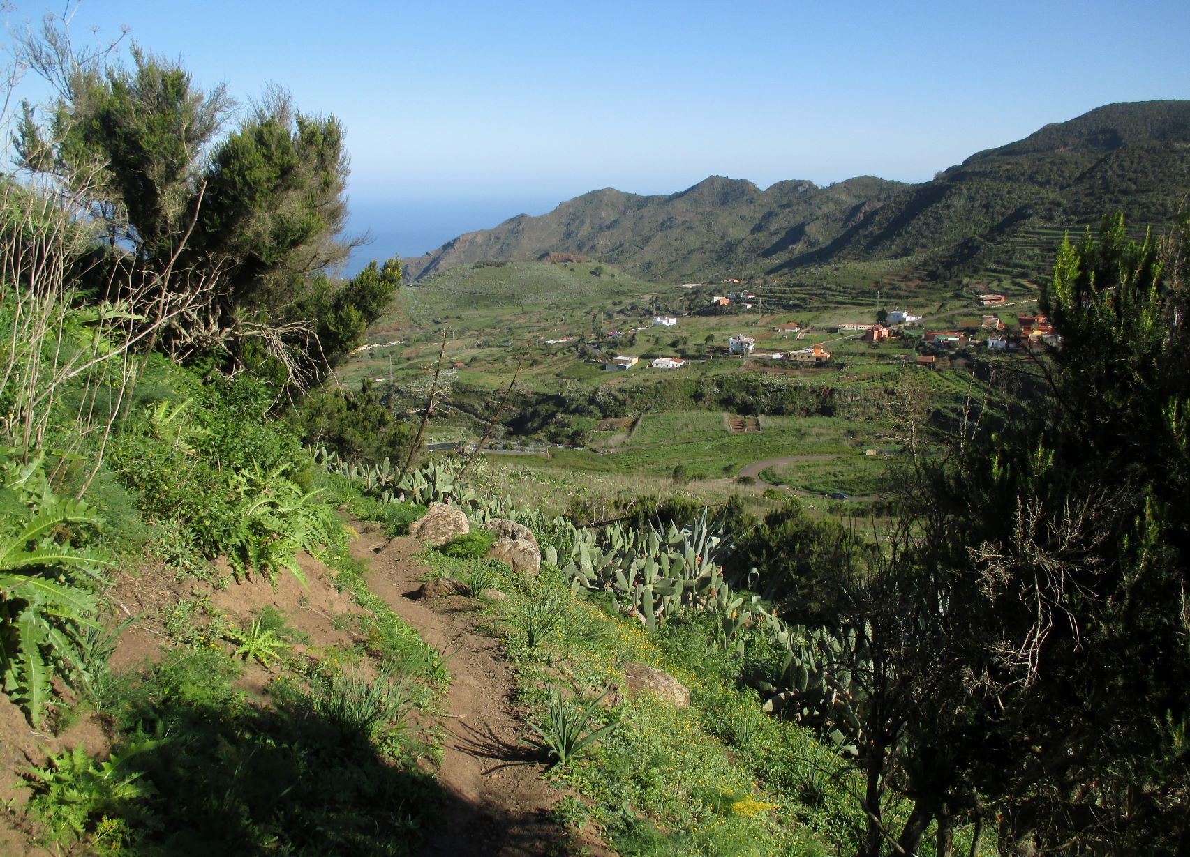
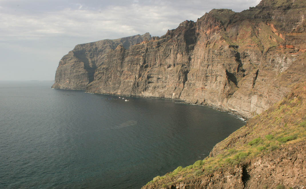
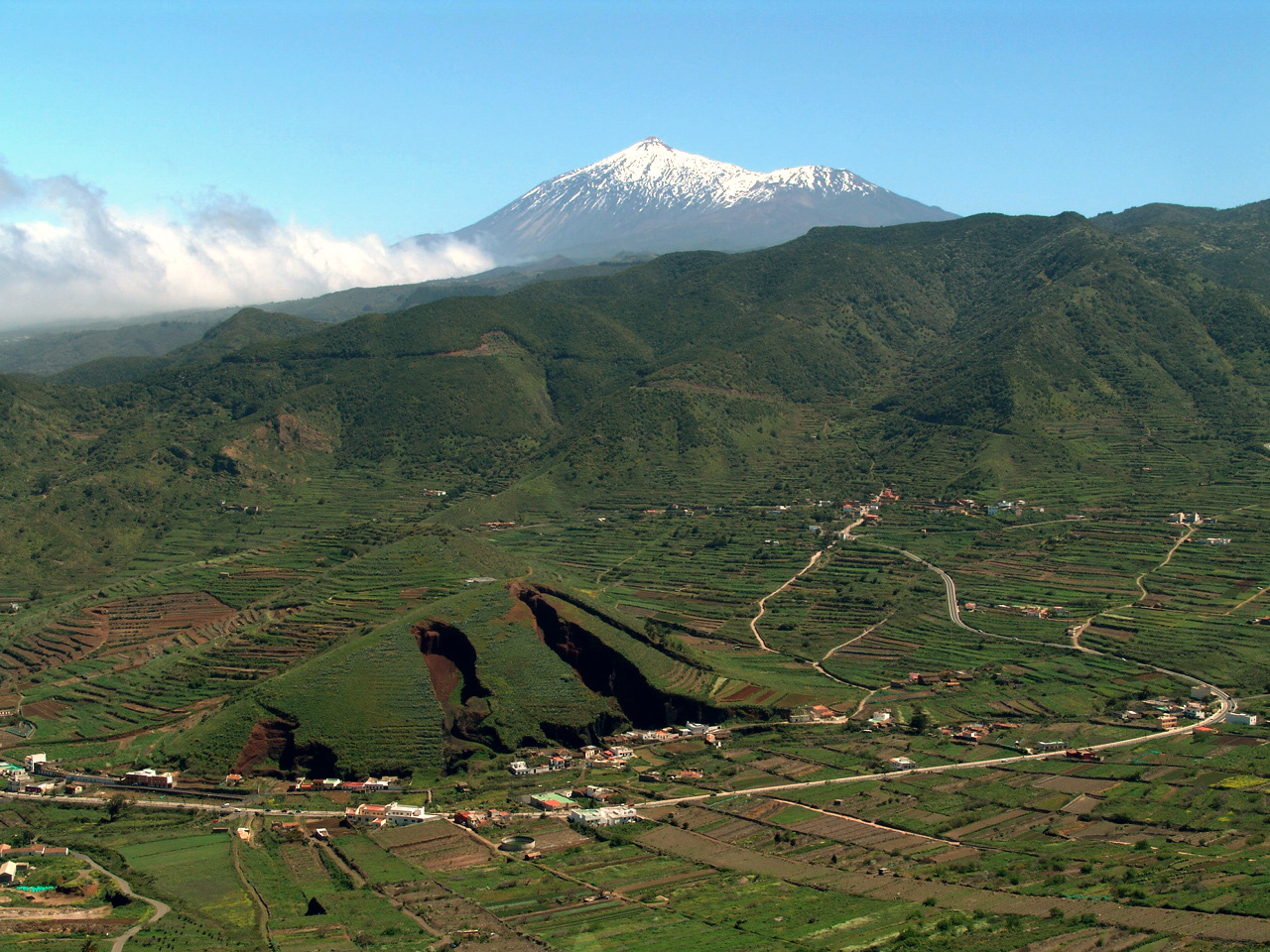
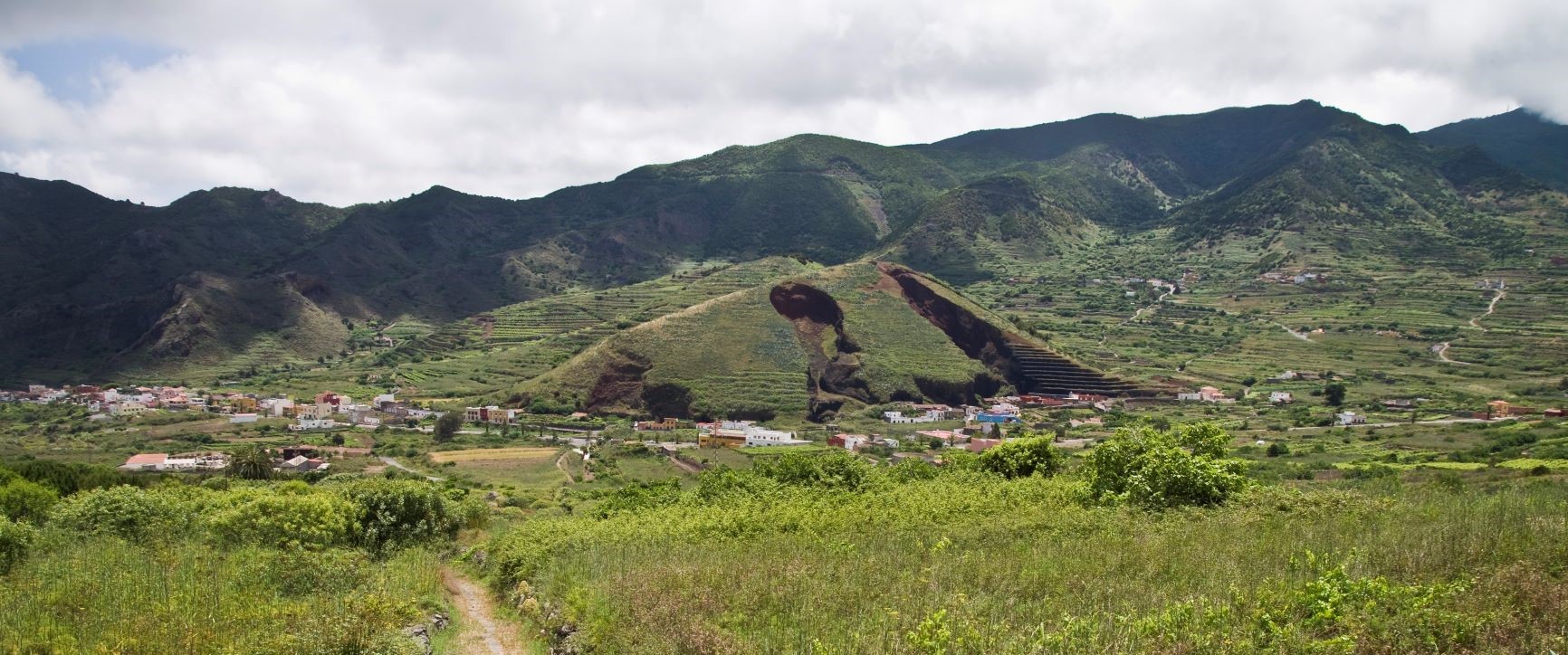
On the northern edge of the park rise ancient sea cliffs that have been cut off from the sea by successive eruptions, which in turn created the coastal plains known today as Isla Baja. You can view this landscape from the limits of the Rural Park, where the towns of Garachico, Los Silos and Buenavista are located.
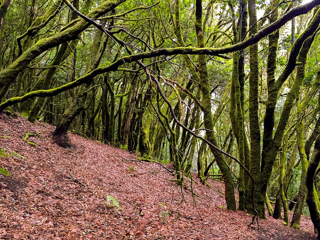
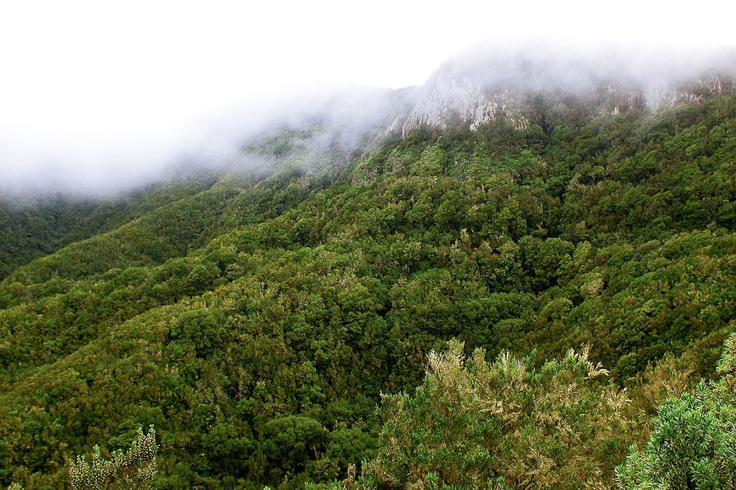
This northern flank, constantly exposed to the trade winds, is home to one of the largest swathes of monteverde forest in the Canary Islands, Monte del Agua y Pasos, covering an area of more than 600 hectares.
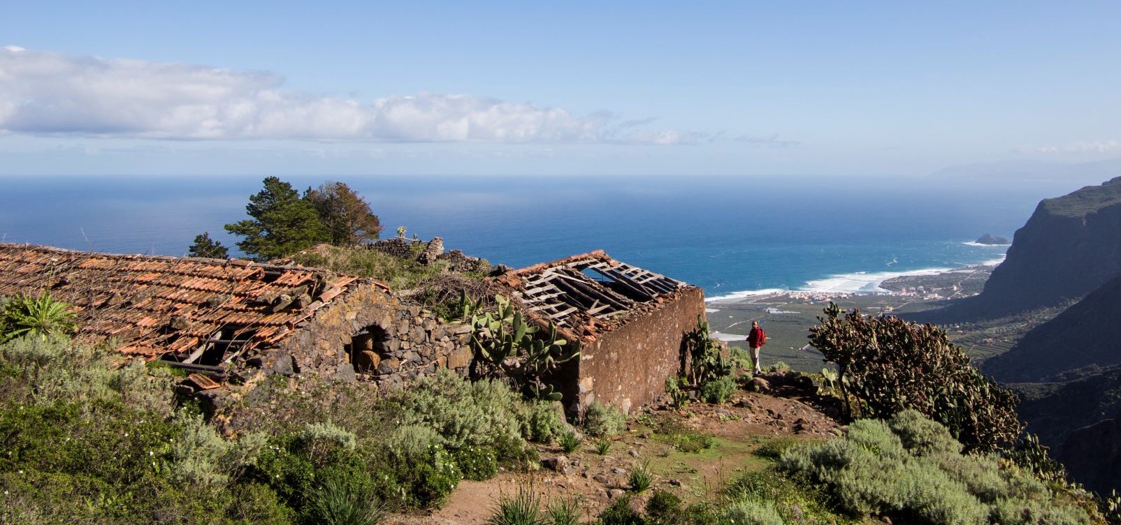
Here you can also find the last pockets of the best preserved thermophilic woodland on the island, dominated by palm trees and dragon trees.
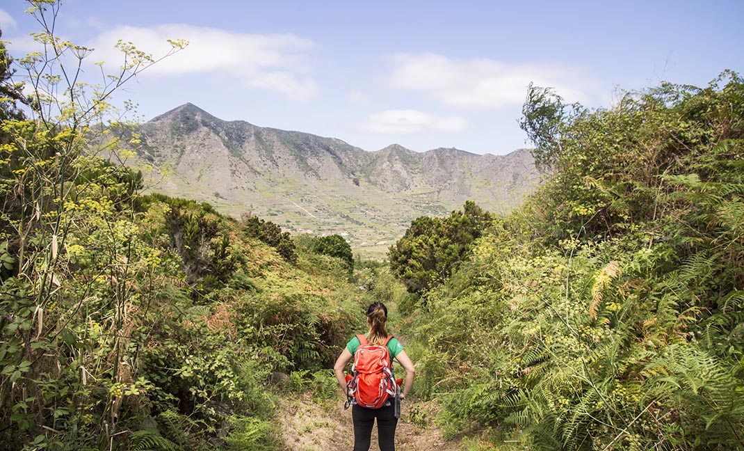
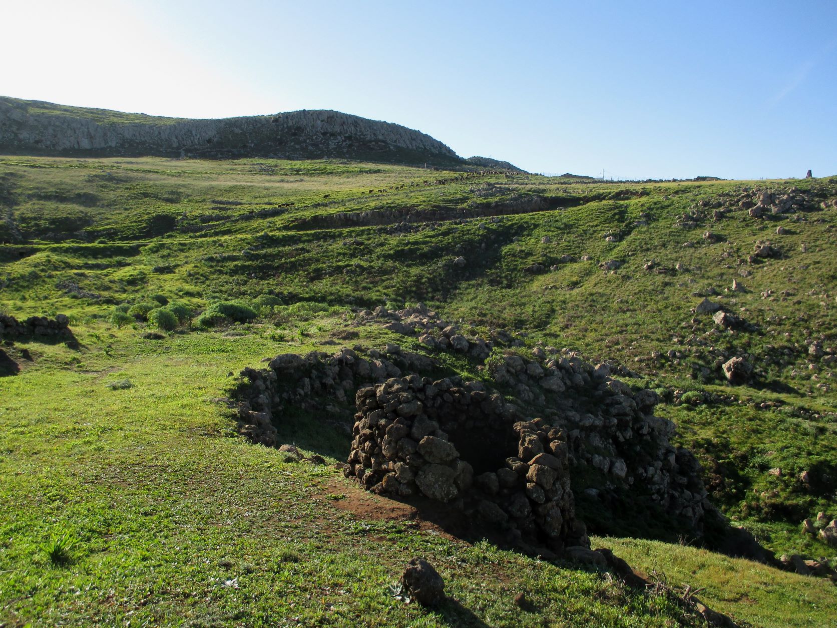
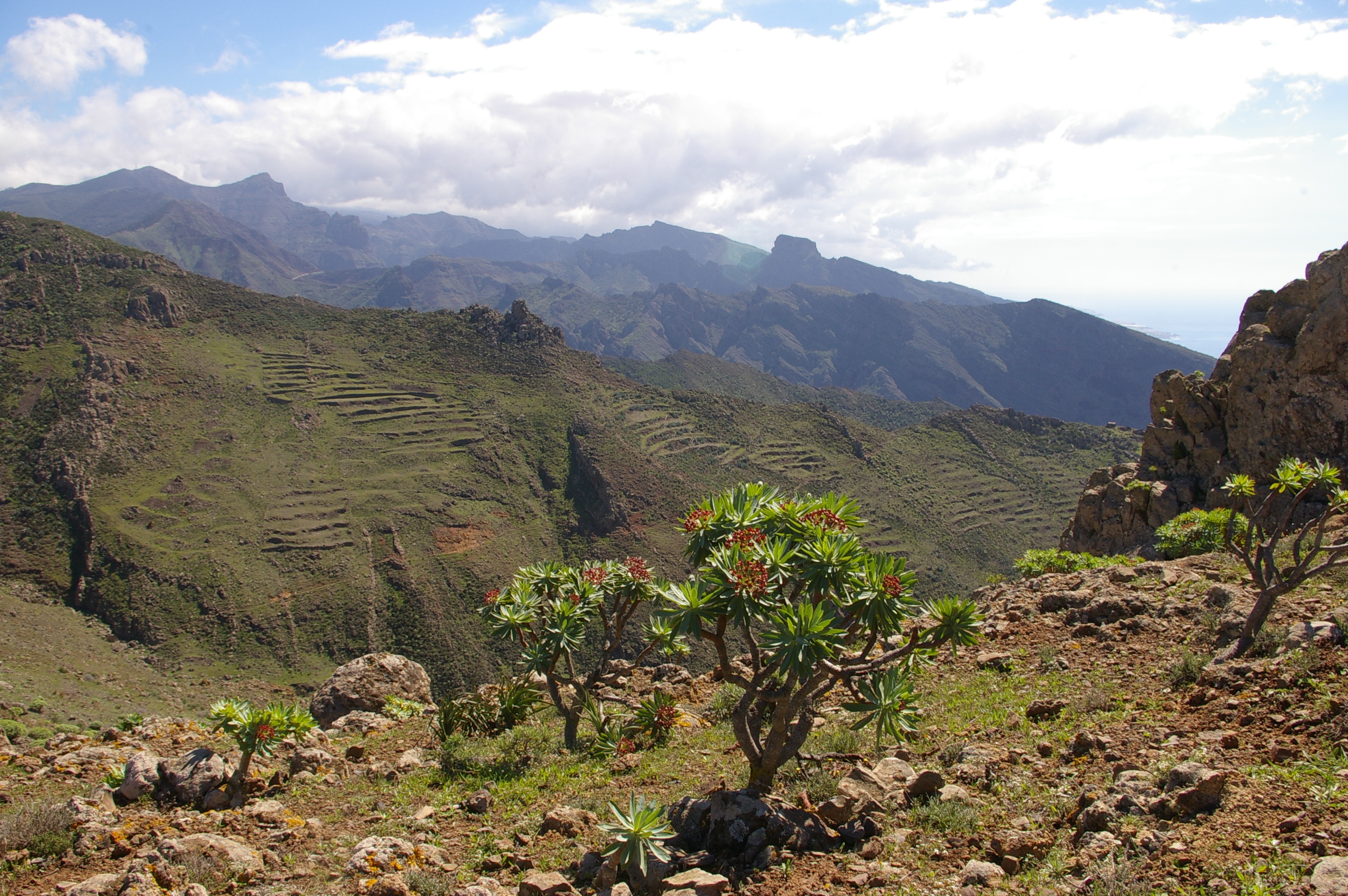
On the southern slopes the climate is sunnier and drier, resulting in a landscape dominated by retama (Retama rhodorhizoides) and tabaiba (Euphorbia balsamifera, Euphorbia lamarckii), with the remains of old terraces, rocky outcrops and ravines carved by water. The complex and extensive network of volcanic dykes exposed on these slopes helps us to better understand how the Canary Islands were formed.
The south-west limit of the park is marked by the Los Gigantes Cliffs, an emblem of the park and of Tenerife as a whole.
Some of the villages were cut off from the rest of the island until well into the 1970s, when roads finally reached the remotest outposts. As a result, traditional architecture, livestock and agricultural practices and many cultural traditions have survived largely unchanged to the present day.
The isolation of Teno, together with the wide range of conditions found in this mountainous massif, have made it a refuge for biodiversity, home to populations of endangered species and unique plants and animals found only in the park.
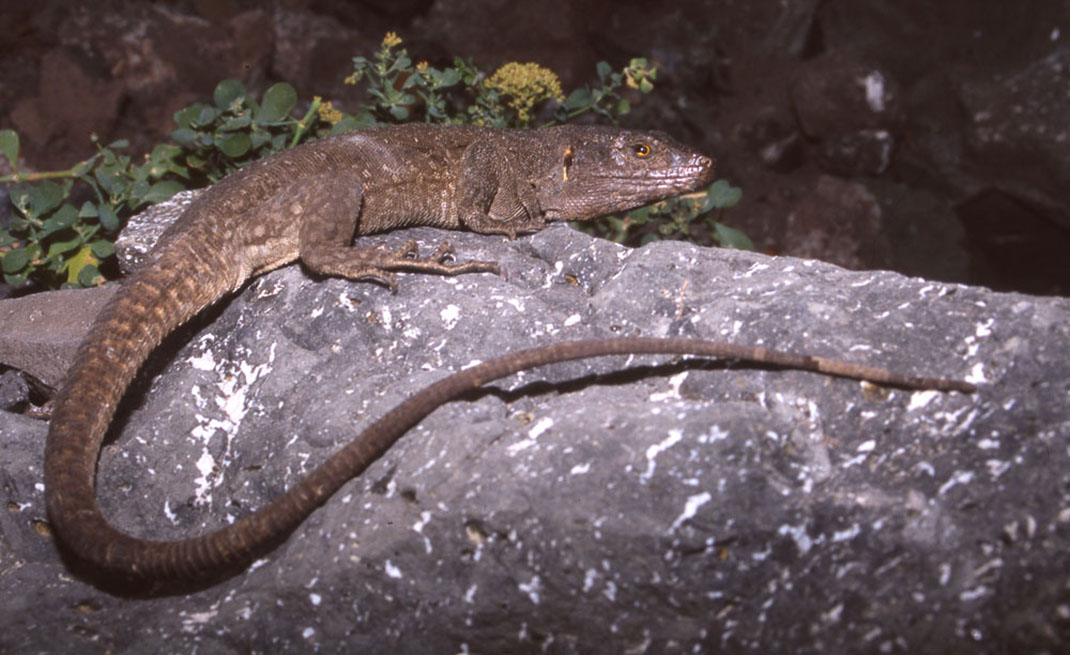
These cliffs are also the habitat of the last remaining populations of the Tenerife speckled lizard, a species that can reach a length of up to 50 centimetres and that has been saved from extinction by its isolation.
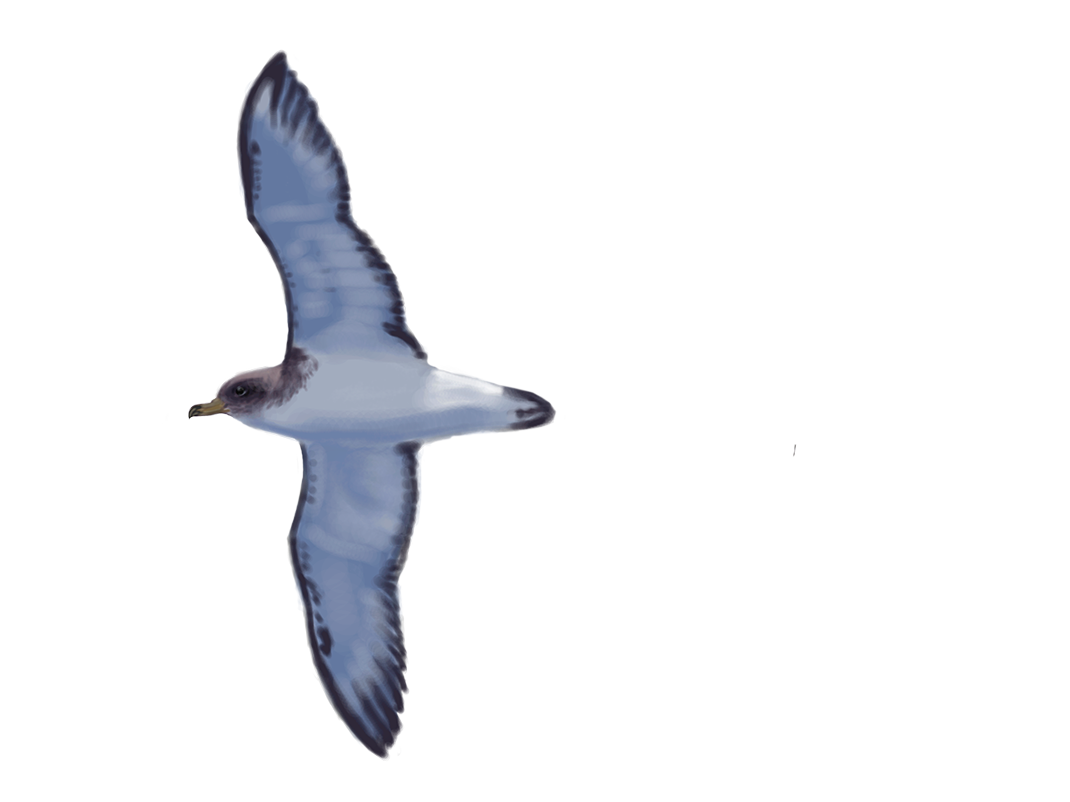
Other highlights of the fauna of Teno are the laurel pigeon and Bolle’s pigeon, endemic Canary Island species that inhabit the monteverde ecosystem, and which you can see feeding in the thermophilic woodland. Also of special importance are the colonies of Scopoli’s shearwater and other seabirds, with thousands of pairs breeding every year on the cliffs.
8063.6 ha (3.9% of the island).
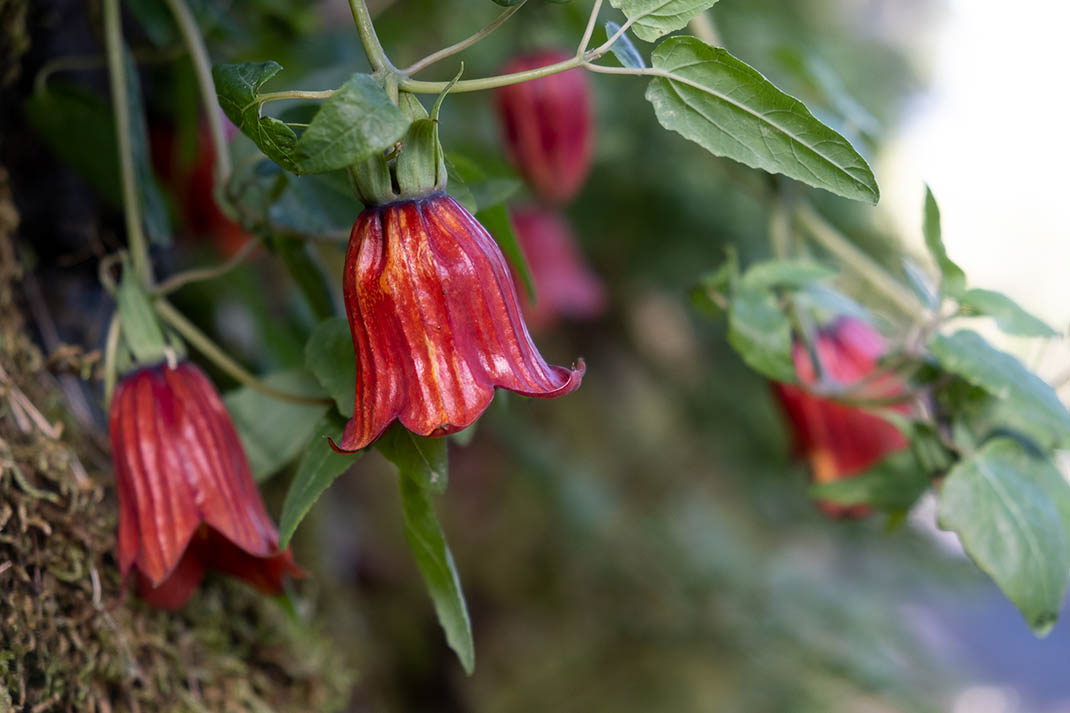
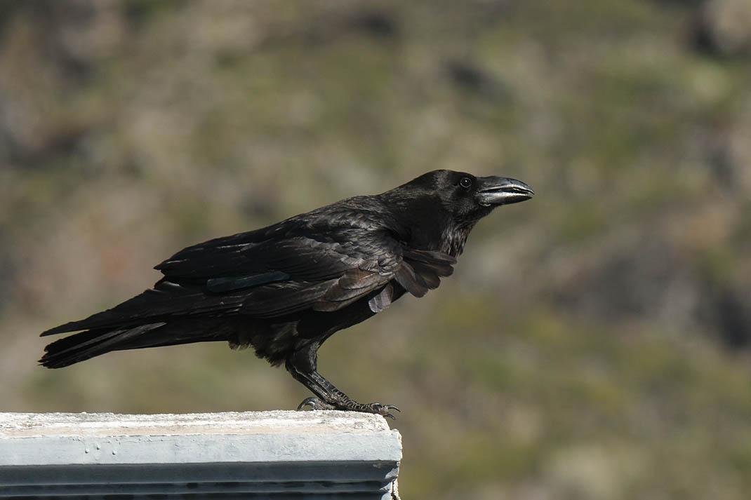
Tabaiba dulce (Euphorbia balsamifera), tabaibaamarga (Euphorbia lamarckii), cardón or Canary Island spurge (Euphorbia canariensis), tabaibamejorera (Euphorbia atropurpurea), sabina (Juniperus turbinatassp. canariensis), Canary Island date palm, bicácaro or Canary Island bellflower (Canarinacanariensis), Canary Islands dragon tree (Dracaena draco), laurel (Laurus novocanariensis), acebiño (Ilex canariensis), osprey, Tenerife speckled lizard, Scopoli’s shearwater, raven, laurel pigeon, Bolle’s pigeon.
Laurel forest, fayal-brezal (Morella-Erica heath), thermophilic forest, coastal cliffs, cardonal-tabaibal (Euphorbia), riparian ecosystems in ravine beds.
Teno Lighthouse, Teno Alto, Masca, Monte del Agua, El Palmar Valley.
The main road access routes are the TF-436 Buenavista - Santiago del Teide and the TF-445 Buenavista - Punta de Teno. Additionally, the TF-82 Icod de los Vinos - Armeñime crosses the park and connects with the TF-1 Armeñime - Santa Cruz de Tenerife.
Access to La Punta de Teno is regulated, and you can only reach it by bus from Buenavista.
The Barranco de Masca hiking trail is also regulated and visitor numbers are limited. To walk this route, you must first make a reservation.
You can consult the Master Plan for Use and Management of the Teno Rural Park on the Canary Islands Government website.
Teno Rural Park Information Office (Los Pedregales Visitor Center)
Hours: Monday to Sunday, 9:30 AM to 4:30 PM
Phone: +34 922 447 974
Email:
Management Office
Hours: Monday to Sunday, 9:30 AM to 4:30 PM
Phone: +34 922 447 974
Email:
Bolico Hostel (Temporarily closed due to construction work)
Address: Camino Las Barreras, Las Portelas, desde la TF-436 hacia Masca
Reservation Phone: +34 902 455 550
Website: www.alberguebolico.com
Masca Visitor Center
Address: El Lomito, 4 - Masca
38489 - Buenavista del Norte
Hours: Monday to Friday, 9:00 AM to 5:00 PM
Weekends and holidays, 8:00 AM to 6:00 PM
Information Phone: +34 822 143 890
Website: www.caminobarrancodemasca.com
Masca Reservations Center
Hours: 8:00 AM to 4:00 PM
Phone: +34 922 004 552
Email:
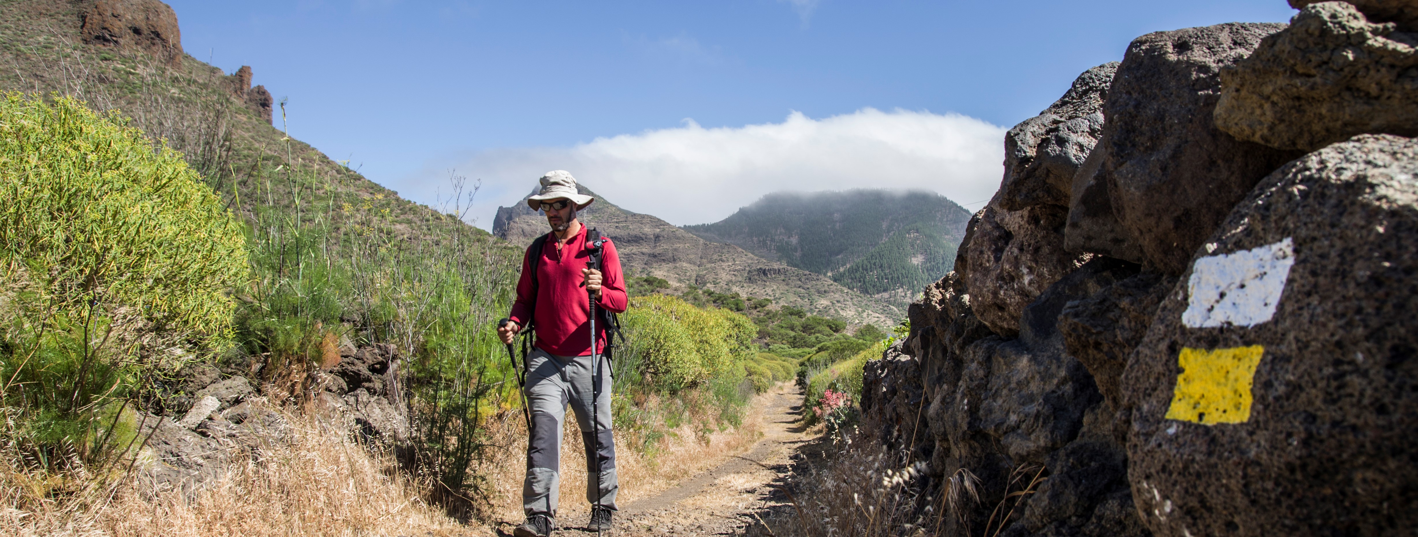
These are some of the points of interest you can find along this route.
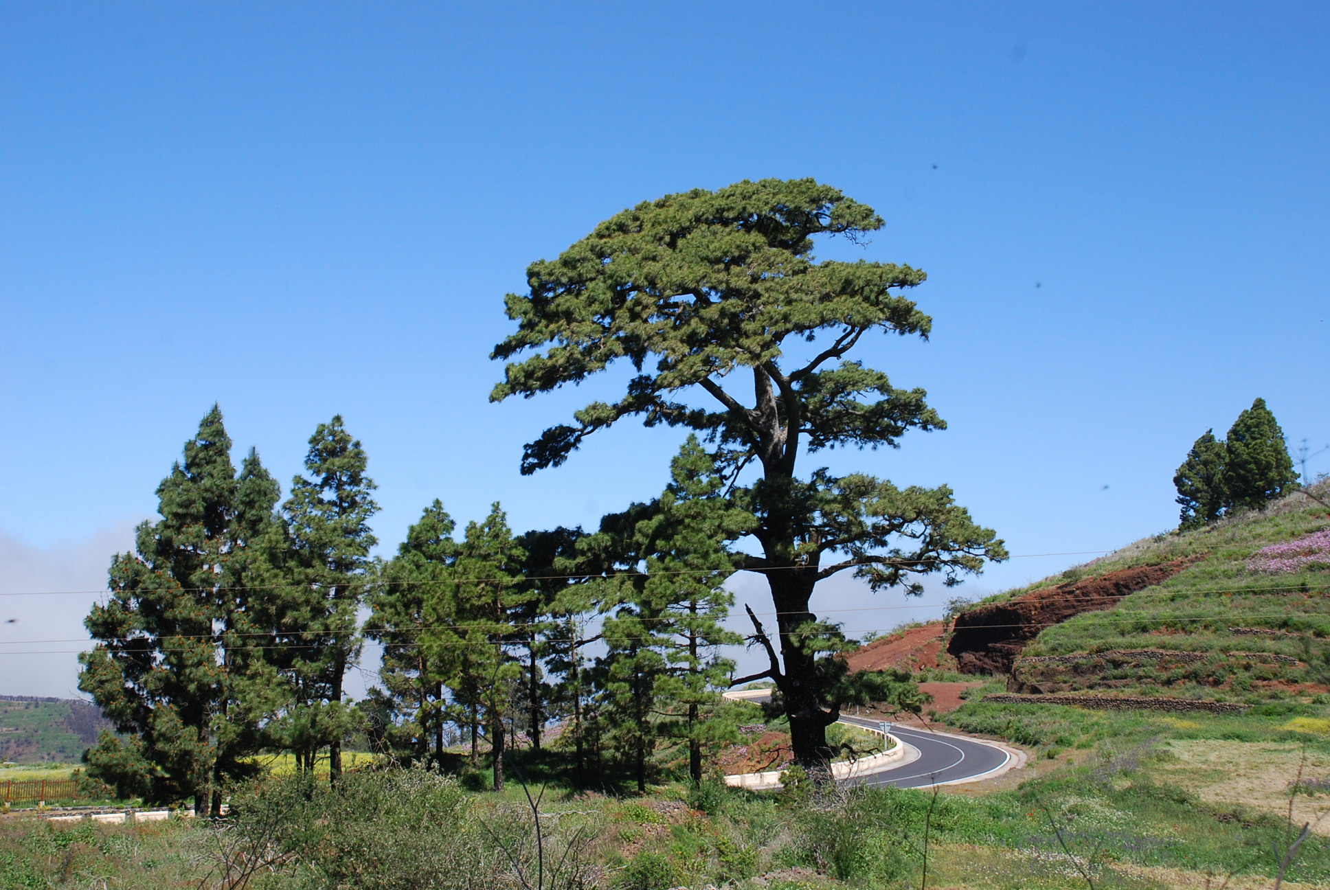
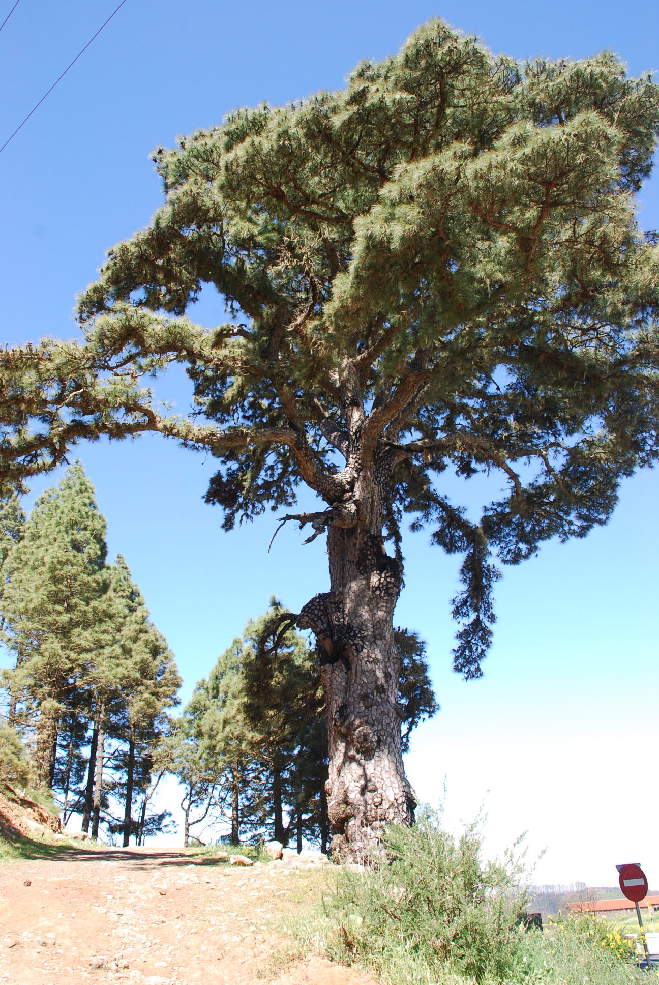
Cercado de las Mulas Pine
With a hollow 230 centimetres high, 100 centimetres wide and 80 centimetres deep at 80...
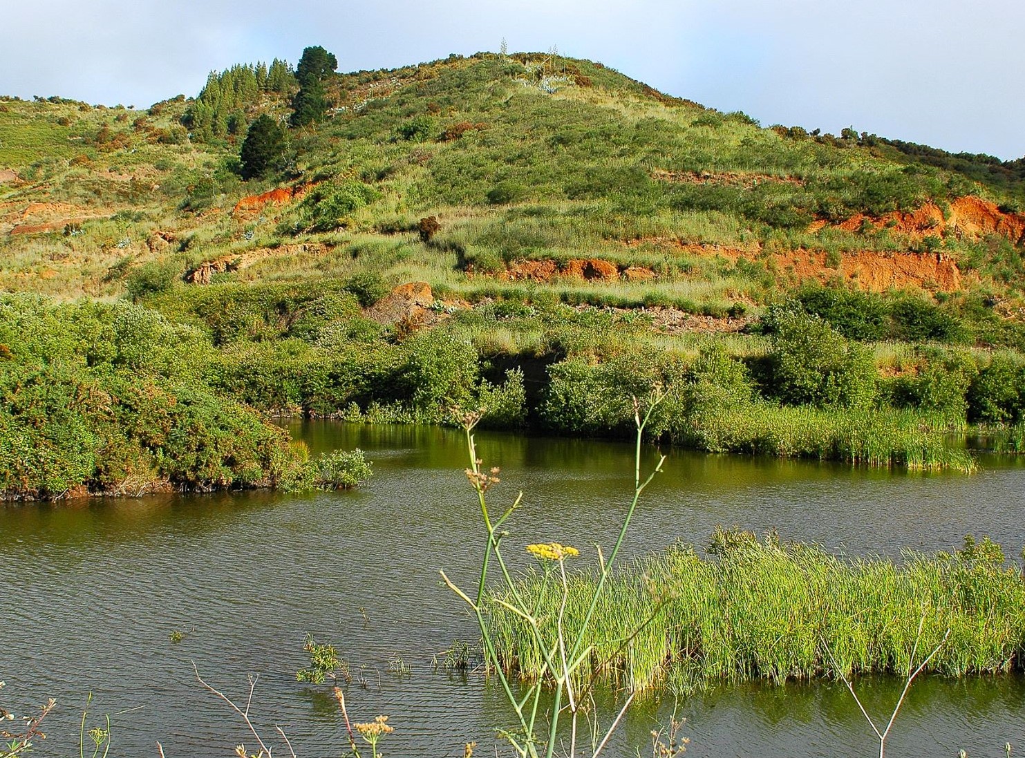
Charcas de Erjos
These ponds are formed by rainwater collecting in pits that were dug to mine aggregates at the...
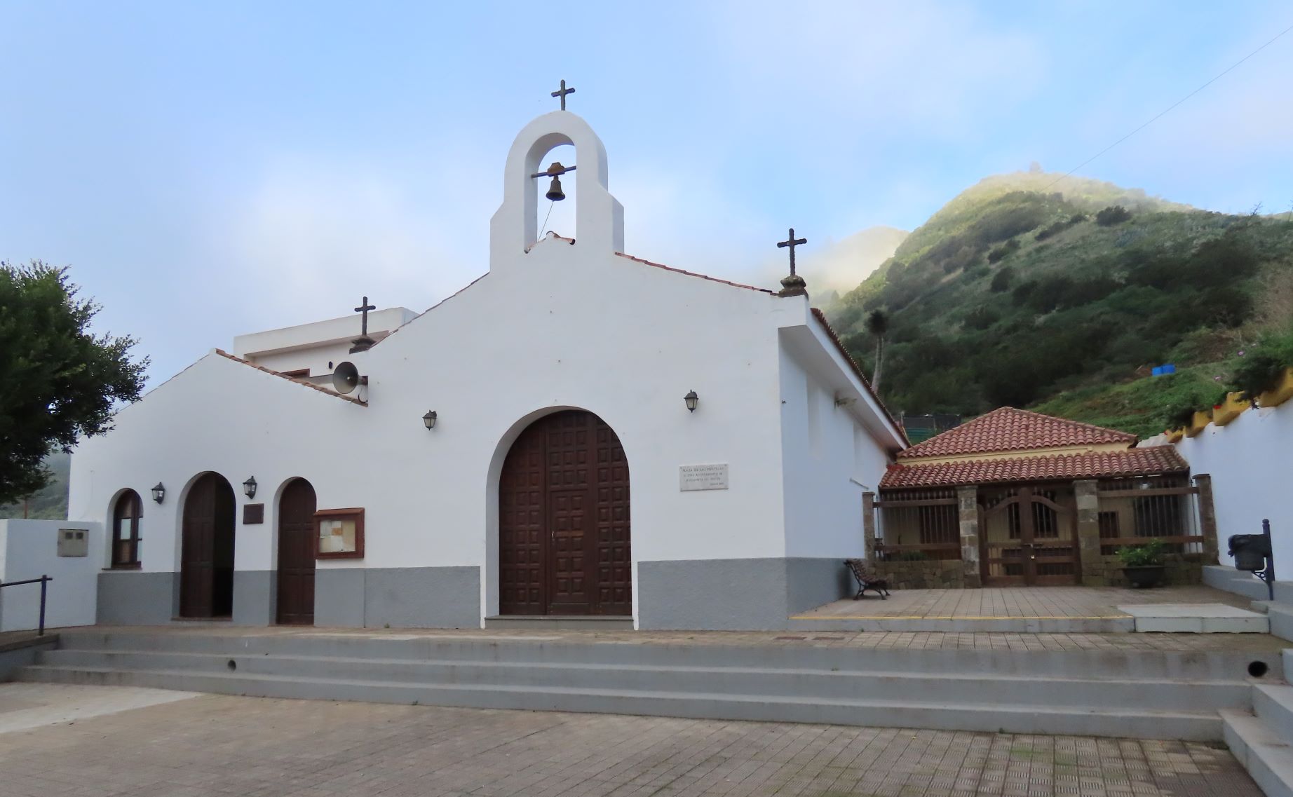
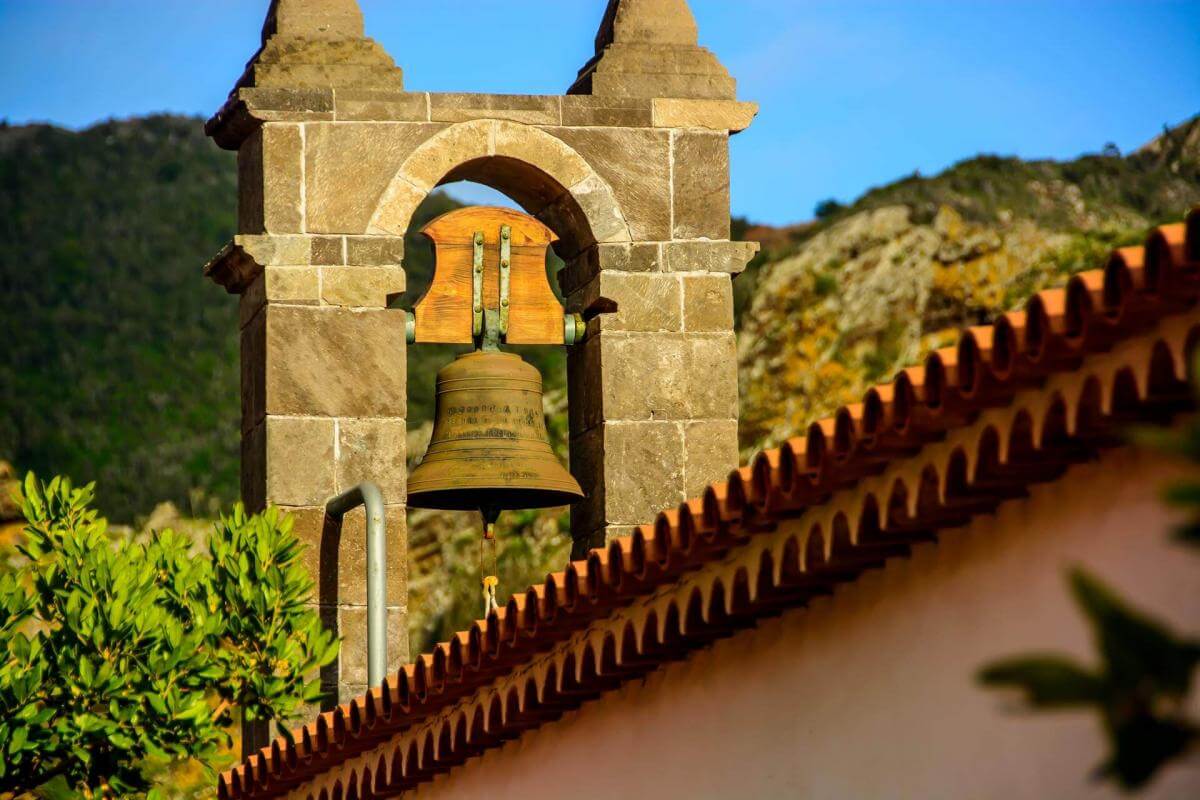
Las Portelas Church
This beautiful traditional chapel stands in the square of this neighbourhood of Buenavista.
...
Church of Nuestra Señora de la Consolación
Chapel built at the end of the 17th century on the lands of the Conde del Palmar.
...
Loro Pine
Its name comes from a laurel that grows on one of its forking trunks. Bramble, hare’s-foot fern...
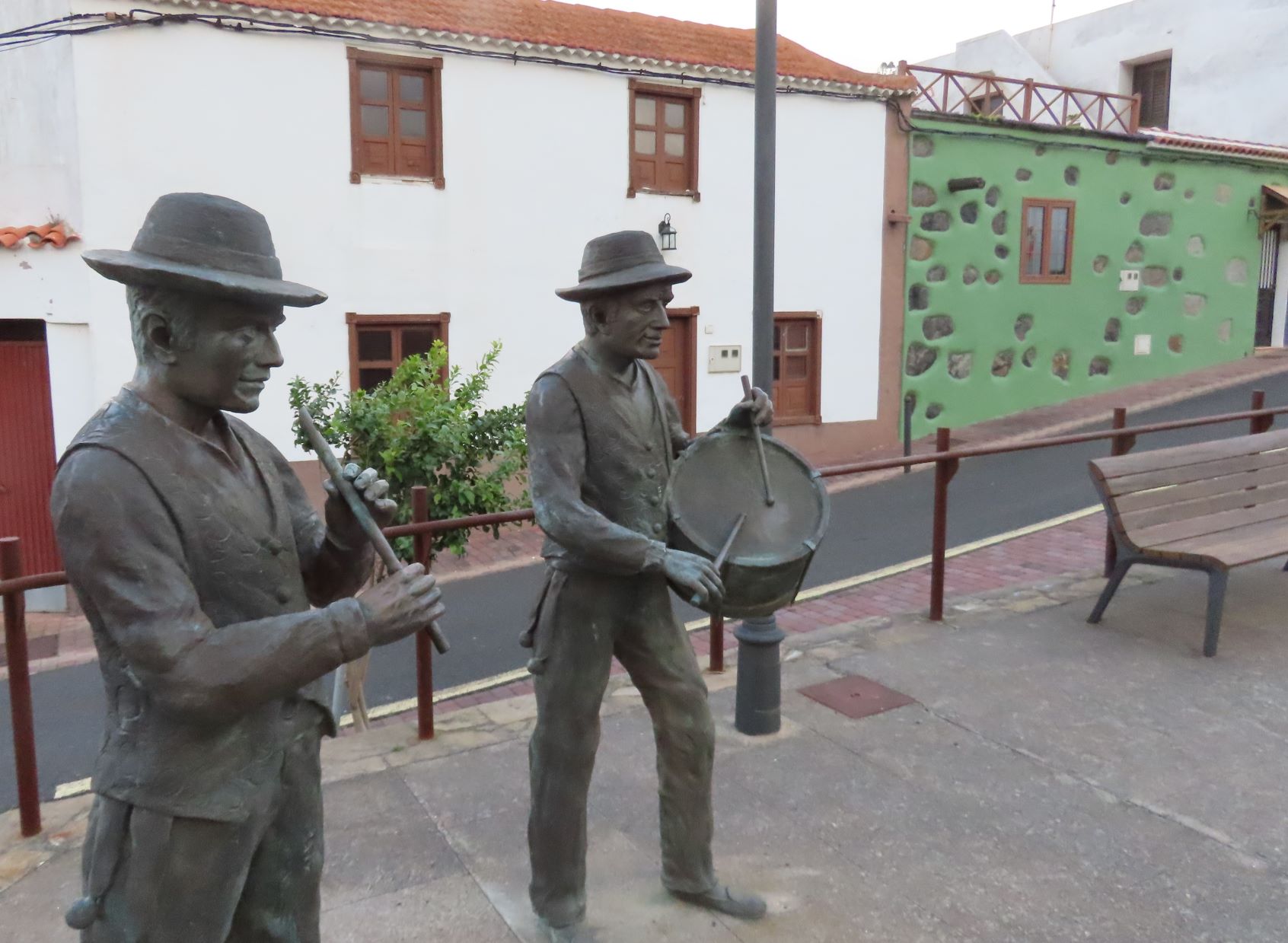
Sculpture paying tribute to the Baile de las Libreas
A bronze sculpture by the artist Eladio de la Cruz that pays tribute to the Baile de las Libreas,...
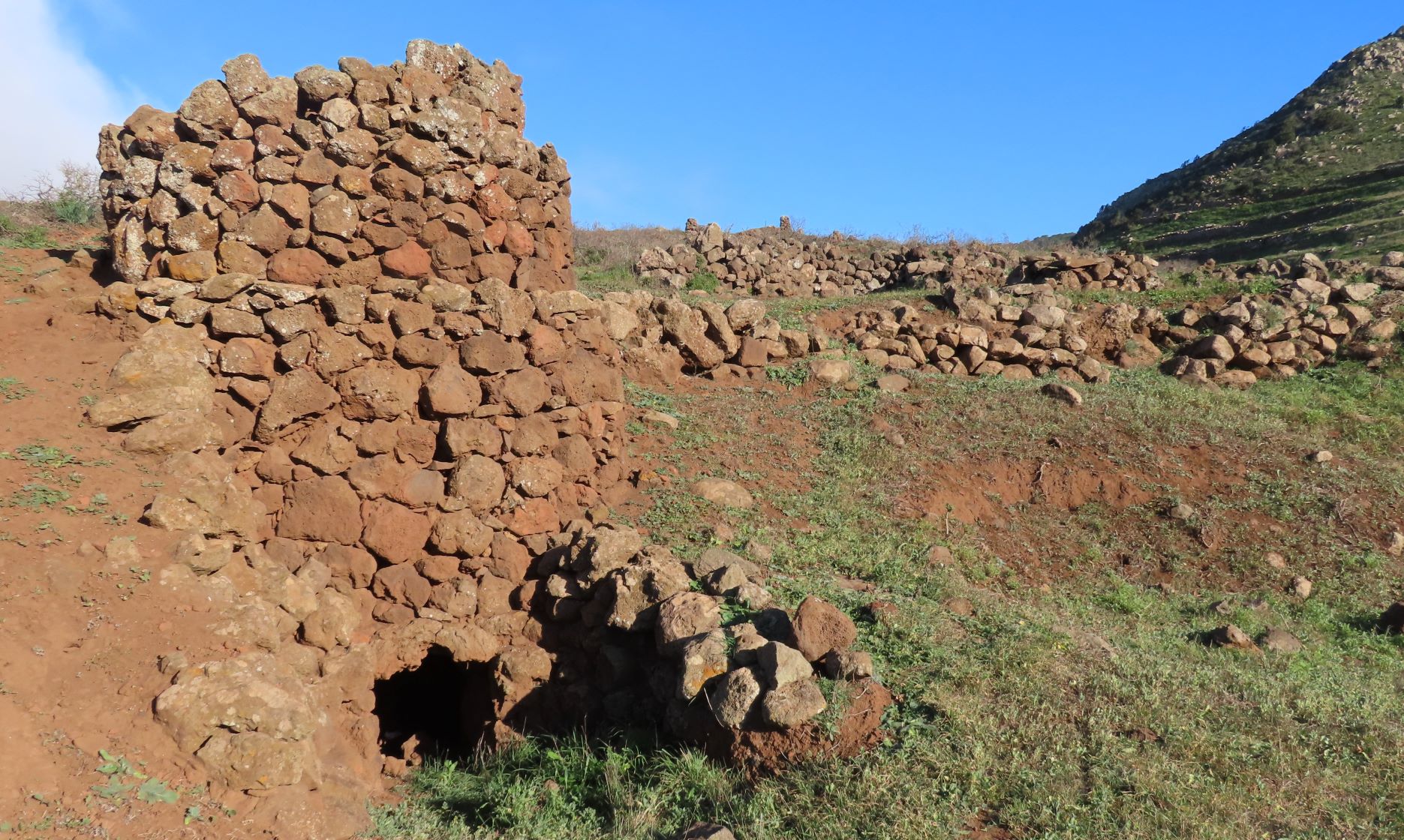
Horno de Azabuche
Traditional kiln in a good state of preservation.
...
Teno Alto Lunar Landscape
Expanse of rock formations created by solidifying lava and subsequent erosion, reminiscent of the...
Pico Baracán
Peak located 1,000 metres above sea level, separating El Palmar valley and the ravine known as...
Talavera
Ruins of an old hamlet, typical of rural society in the north of Tenerife. With a markedly...
Barranco Cuevas Negras / Barranco del Agua
Ravine that links the town of Los Silos with Monte del Agua, home to the abandoned hamlet of...
Caserío de Las Moradas
Abandoned hamlet that bears witness to how the settlers survived after the conquest by exploiting...
Tailor your own route along Tenerife’s trails quickly and easily..
Go to planner