ePrivacy and GPDR Cookie Consent management by TermsFeed Privacy Policy and Consent Generator VM 3. Pista del Fayal

VM 3. Pista del Fayal

VM-3

Incident Incident

Route temporarily closed - Warnings (fire, wind, etc.)

Itinerario cerrado debido al incendio forestal del verano de 2023

3.- Pista del Fayal
3.- Pista del Fayal
3.- Pista del Fayal
3.- Pista del Fayal
3.- Pista del Fayal

Description

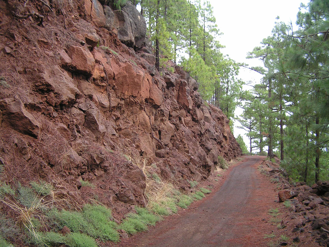
This route starts at Las Lagunetas, where there are some scattered buildings in the forest, and then descends from the central ridge of the island down its southern slopes. 

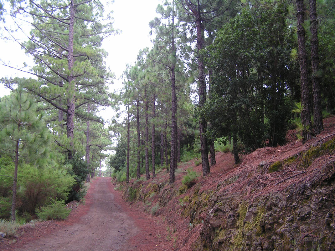
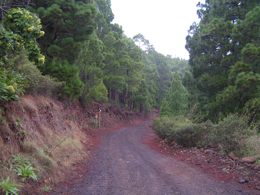
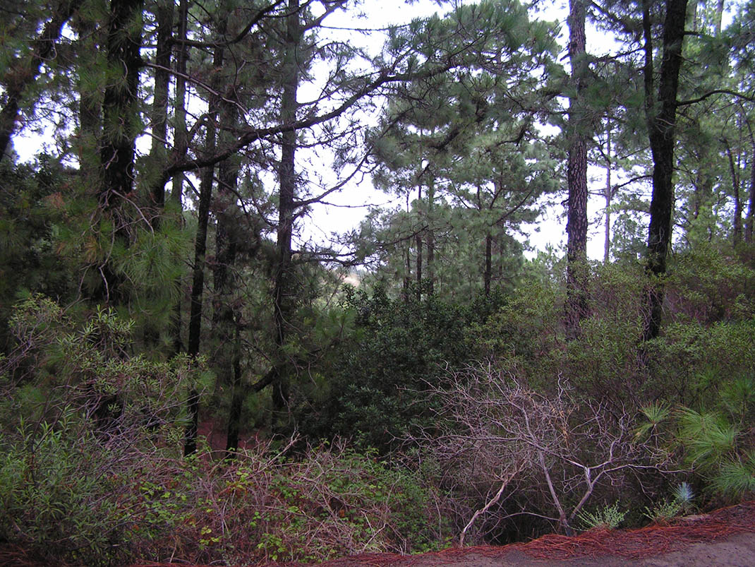
The route winds through a beautiful natural Canary Island pine forest containing some enormous, majestic individual specimens. The faya (Morella faya), which gives the track its name, grows in abundance in the pine forest, while in the lower sections you will see chestnut trees next to the agricultural landscape. 

The ground is highly eroded due to the type of soil and the abundant rainfall, which is why the forestry services have laid structures made of branches and trunks to slow the erosion. 

If you look closely at the larger pine trees, you will find signs of how they were exploited for resin in the past, leaving the trunks hollow and black. 

In the more open areas of the pine forest, you will also see the tagasaste (Cytisus proliferus) and tree heath (Erica arborea) that make up the undergrowth.

Tips

  • Always stay on the marked trail observing all traffic rules established in the regulations. 
  • When parking, keep away from water intakes or firefighting water storage tanks, and do not block the passage of other vehicles or access to the track.
  • Be extra careful both at junctions with paths and tracks and on sections shared by walkers, horse riders and cyclists. 
  • Proceed with care to avoid accidents that may be caused by obstacles, landslides and uneven terrain. 
  • Check our guide to motor vehicle routes and, if necessary, contact the emergency services by calling 112.
Recommendations and tips

Guides

No data available

Permits

Prior authorisation through the Reservation Centre of the Tenerife Island Council is compulsory for the following vehicles:

  • Trials, enduro and motocross bikes.
  • ATVs and quads with a handlebar steering system.
  • Off-road vehicles with tyres of 10 to 15mm tread depth.
  • Power-assisted pedal cycles with a power output of more than 0.5 kW, to supplement the muscle power of the rider.
  • Caravan of up to six motor vehicles in motion with a maximum distance of 30 metres separating them.

Check the Regulations for information on prohibited vehicles.

No reservations are required for other vehicles, provided that they meet the recreational use requirements for this network of trails.

More information

Technical information sheet

Route information

Motor vehicle route

Tenerife ON

Linear

9,14 km

0 h 30 m

151,71 m

550,37 m

At an average speed of 15 km/h

  • Altitude gain:151,71 m

  • Altitude loss:550,37 m

  • Maximum altitude:1.420,87 m

  • Minimum altitude:1.014,43 m

Signage

Route code

VM-3

Tracks for motor vehicles are marked with blue signs and posts that include:

  • Direction.
  • Route number.
  • Distance to end point.
Signage

Route map and profile

Elevation profile

  • Maximum altitude:1.420,87 m

  • Minimum altitude:1.014,43 m

Connections with other routes

  • /

Municipalities passed through

  • Candelaria

Protected Areas

Transit

Paisaje Protegido de Las Lagunetas

The Las Lagunetas Protected Landscape is situated on the north side of the Pedro Gil ridge, in the north-east of Tenerife.  This ridge was formed over the course of numerous phases of eruption less ...

Discover the Protected Area
Paisaje Protegido de Las Lagunetas

Weather

Today, monday, in Candelaria


Clouds
Wind

6 km/h

Temperature

20ºC Maximum

17ºC Minimum

Rain

0%

3 day forecast

tuesday

20ºC Maximum

16ºC Minimum

wednesday

21ºC Maximum

17ºC Minimum

thursday

21ºC Maximum

18ºC Minimum