ePrivacy and GPDR Cookie Consent management by TermsFeed Privacy Policy and Consent Generator PNT 13 Sámara

PNT 13 Sámara

PNT-13

Nationalpark Teide

Sámara
Sámara
Sámara
Sámara
Sámara

Difficulty: Low

Description

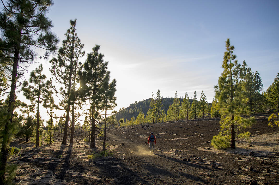
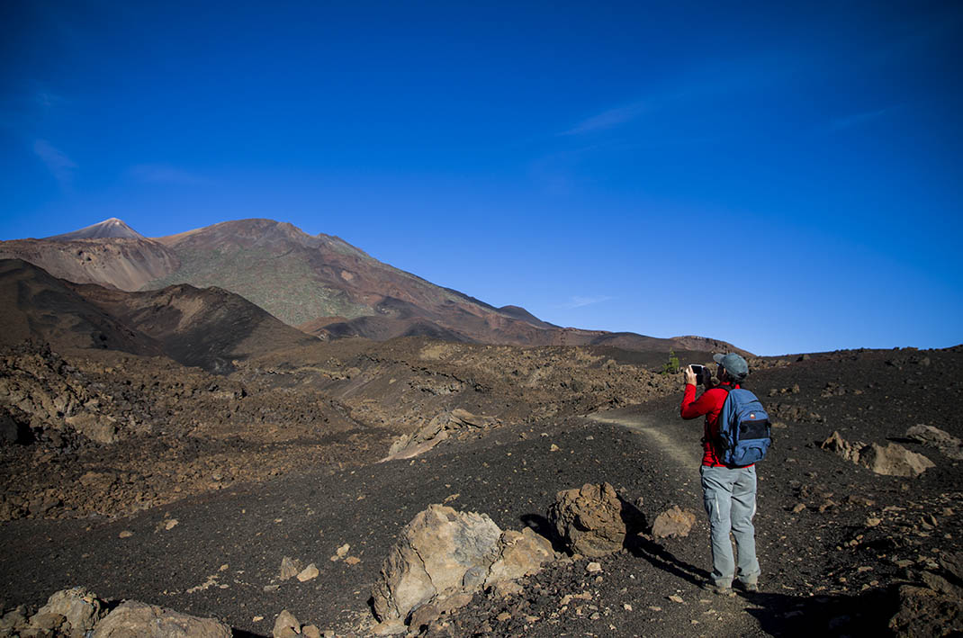
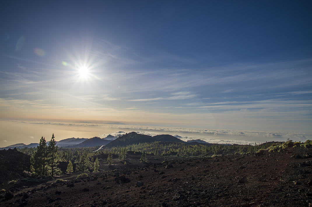
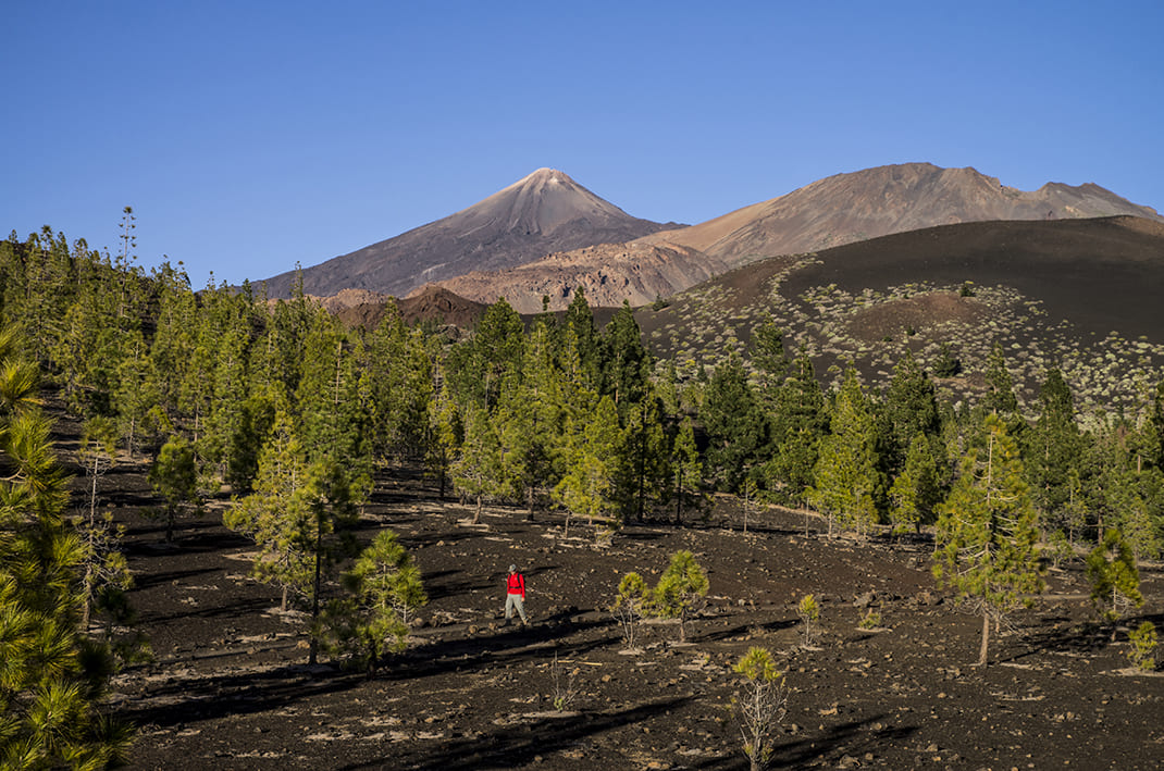
This loop trail, which starts at the foot of the Sámara volcano, offers beautiful panoramic views of several volcanic cones. 

The entire route takes you over dark-coloured layers of tephra (volcanic material) and is relatively flat with a few gentle slopes. Flora includes Canary Island pines, effective colonisers of these still young volcanic terrains, and Teide white broom or retama (Spartocytisus supranubius), Teide sticky broom or codeso (Adenocarpus viscosus) and rosalillo de cumbre (Pterocephalus lasiospermus). 

As for the fauna, you are most likely to come across kestrels and Tenerife lizards. 

Canary Island chiffchaffs, Berthelot’s pipits, blue tits and spectacled warblers are also frequently seen in the area, while the less common Iberian grey shrike can sometimes be spotted in areas where pine forest and broom come together.

Tips

  • Always stay on the marked trail and do not enter private property, hunting grounds, water galleries, wells or caves.
  • Pay special attention when crossing or walking along trails used by bicycles, horses or motor vehicles and when walking in ravines with water courses.
  • Avoid direct encounters with potentially dangerous animals, such as livestock, beehives, and dogs.
  • Proceed with caution and watch for obstacles, loose rocks, uneven terrain or steep slopes to avoid accidents and falls.
  • Check out our guide to hiking in Tenerife and, if necessary, contact the emergency services by calling 112.


Recommendations and tips

Permits

Free access for all visitors, no reservation required.

More information

Technical information sheet

Route information

Walking route

Tenerife ON

Circular

4,59 km

2 h 30 m

256,68 m

256,68 m

One way with fitness level 3/5

  • Altitude gain:256,68 m

  • Altitude loss:256,68 m

  • Maximum altitude:2.100,97 m

  • Minimum altitude:1.871,84 m

Signage

Route code

PNT-13

Signposts and waymarkers with the code of the trail on dark green panels.

Signage

Route map and profile

Elevation profile

Difficulty

Low *MIDE safe mountain criteria

  • Maximum altitude:2.100,97 m

  • Minimum altitude:1.871,84 m

Connections with other routes

How to get to route start point

Sámara Viewpoint, Carretera Boca Tauce (TF-38), km 7.5.

No nearby service.

Limited parking spaces at the viewpoint.

How to get to route end point

Sámara Viewpoint, Carretera Boca Tauce (TF-38), km 7.5.

No nearby service.

Limited parking spaces at the viewpoint.

Municipalities passed through

  • Guía de Isora

Protected Areas

Transit

Parque Nacional del Teide

The Teide National Park is the best exampleof the high-mountain landscape of the Canary Islands.  It is a breathtaking setting where you can learn about some of the most spectacular volcanic ...

Discover the Protected Area
Parque Nacional del Teide

Transit

Parque Natural de la Corona Forestal

The Corona Forestal is the largest protected natural area in the Canary Islands, one of the most extensive forests on the islands, the lungs of Tenerife and the gateway to Mount Teide.  As its name ...

Discover the Protected Area
Parque Natural de Corona Forestal

Weather

Today, saturday, in Guía de Isora


Clouds
Wind

1 km/h

Temperature

17ºC Maximum

11ºC Minimum

Rain

0%

3 day forecast

sunday

15ºC Maximum

11ºC Minimum

monday

17ºC Maximum

10ºC Minimum

tuesday

17ºC Maximum

11ºC Minimum

Places of interest

These are some of the points of interest you can find along this route.

Rock

Montaña de Sámara

Montaña de Samara is a striking volcanic cone that marks the entrance to the National Park. Its...