ePrivacy and GPDR Cookie Consent management by TermsFeed Privacy Policy and Consent Generator PNT 29 Degollada del Cedro

PNT 29 Degollada del Cedro

PNT-29

Teide National Park

Degollada del Cedro
Degollada del Cedro
Degollada del Cedro
Degollada del Cedro

Difficulty: Low

Description

This beautiful panoramic route connects the PNT 01 trail (La Fortaleza) with the PR TF 41 trail (Route 0-4-0) at the edge of the National Park. 

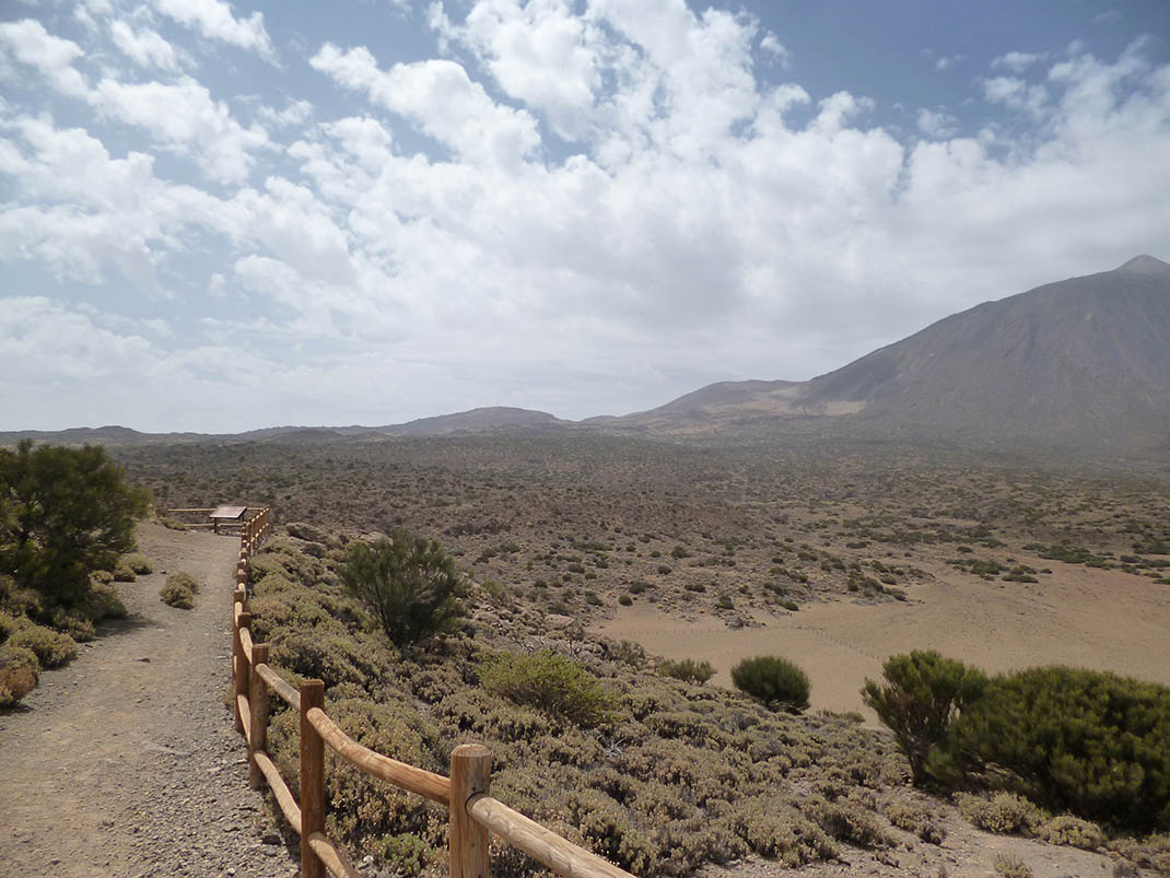
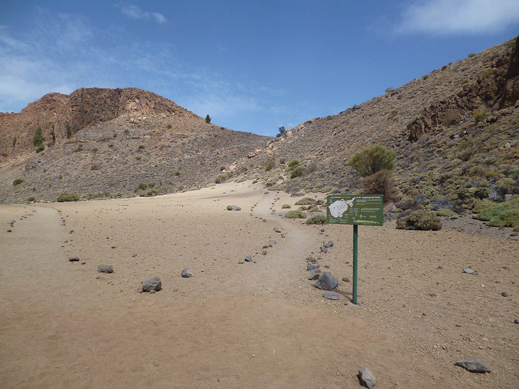
It starts in Llano de Los Guancheros or Los Rastrojos, at the foot of El Cabezón, and climbs up to Degollada del Cedro between two scarps of the Las Cañadas caldera known as El Cabezón and La Fortaleza. 

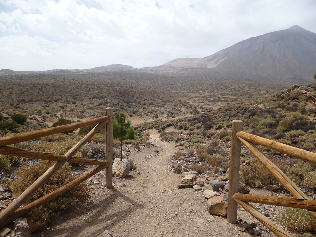
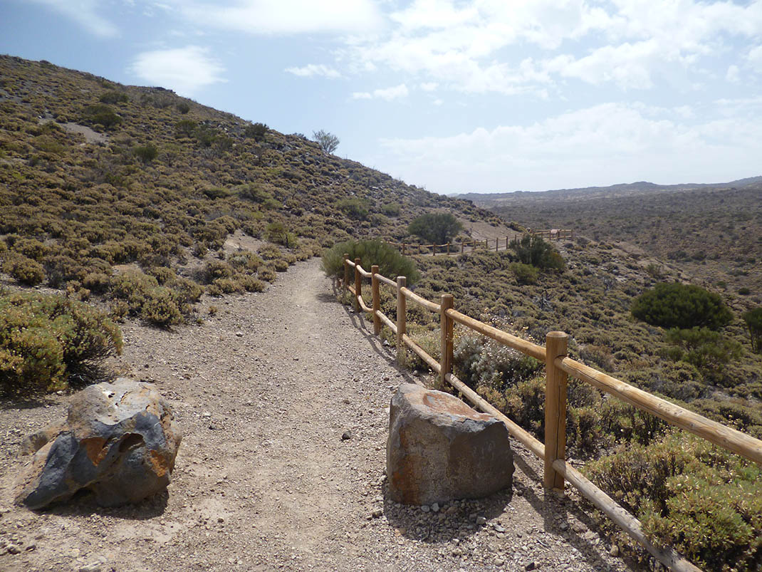
From here it continues along a forest track down the Tigaiga mountainside to the edge of the Teide National Park. 

Along the way you will be rewarded with spectacular views of the slopes of Tigaiga, La Fortaleza and La Orotava Valley, of the Caldera and of Mount Teide.

Tips

  • Always stay on the marked trail and do not enter private property, hunting grounds, water galleries, wells or caves.
  • Pay special attention when crossing or walking along trails used by bicycles, horses or motor vehicles and when walking in ravines with water courses.
  • Avoid direct encounters with potentially dangerous animals, such as livestock, beehives, and dogs. 
  • Proceed with caution and watch for obstacles, loose rocks, uneven terrain or steep slopes to avoid accidents and falls. 
  • Check out our guide to hiking in Tenerife and, if necessary, contact the emergency services by calling 112.


Recommendations and tips

Permits

Free access for all visitors, no reservation required.

More information

Technical information sheet

Route information

Walking route

Tenerife ON

Linear

1,90 km

1 h 0 m

52,86 m

116,15 m

One way with fitness level 3/5

  • Altitude gain:52,86 m

  • Altitude loss:116,15 m

  • Maximum altitude:2.086,33 m

  • Minimum altitude:1.973,31 m

Signage

Route code

PNT-29

Signposts and waymarkers with the code of the trail on dark green panels.

Signage

Route map and profile

Elevation profile

Difficulty

Low *MIDE safe mountain criteria

  • Maximum altitude:2.086,33 m

  • Minimum altitude:1.973,31 m

Connections with other routes

How to get to route start point

Cañada de Los Guancheros.

Trailhead only accessible on foot from the PNT 01 trail (La Fortaleza).

Trailhead only accessible on foot from the PNT 01 trail (La Fortaleza).

How to get to route end point

Ladera de Tigaiga.

End point only accessible on foot from the PR TF 41 trail (Playa del Socorro - Pico Teide).

End point only accessible on foot from the PR TF 41 trail (Playa del Socorro - Pico Teide).

Municipalities passed through

  • La Orotava
  • Los Realejos
  • San Juan de la Rambla

Protected Areas

Transit

Parque Nacional del Teide

The Teide National Park is the best exampleof the high-mountain landscape of the Canary Islands.  It is a breathtaking setting where you can learn about some of the most spectacular volcanic ...

Discover the Protected Area
Parque Nacional del Teide

Transit

Parque Natural de la Corona Forestal

The Corona Forestal is the largest protected natural area in the Canary Islands, one of the most extensive forests on the islands, the lungs of Tenerife and the gateway to Mount Teide.  As its name ...

Discover the Protected Area
Parque Natural de Corona Forestal

Weather

Today, saturday, in Los Realejos


Clouds
Wind

2 km/h

Temperature

21ºC Maximum

17ºC Minimum

Rain

0%

3 day forecast

sunday

21ºC Maximum

17ºC Minimum

monday

21ºC Maximum

17ºC Minimum

tuesday

23ºC Maximum

17ºC Minimum