ePrivacy and GPDR Cookie Consent management by TermsFeed Privacy Policy and Consent Generator PNT 15 Alto de Guajara

PNT 15 Alto de Guajara

PNT-15

Teide National Park

Alto de Guajara
Alto de Guajara
Alto de Guajara
Alto de Guajara
Alto de Guajara
Alto de Guajara

Difficulty: High

Description

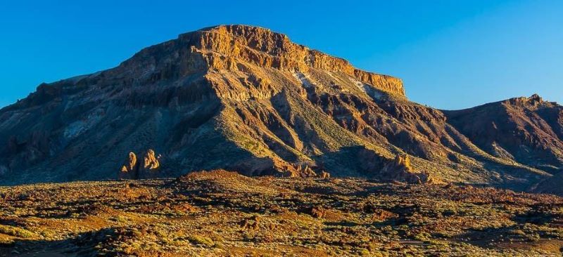
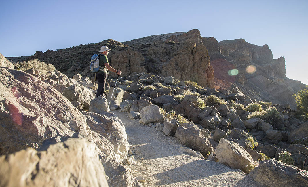
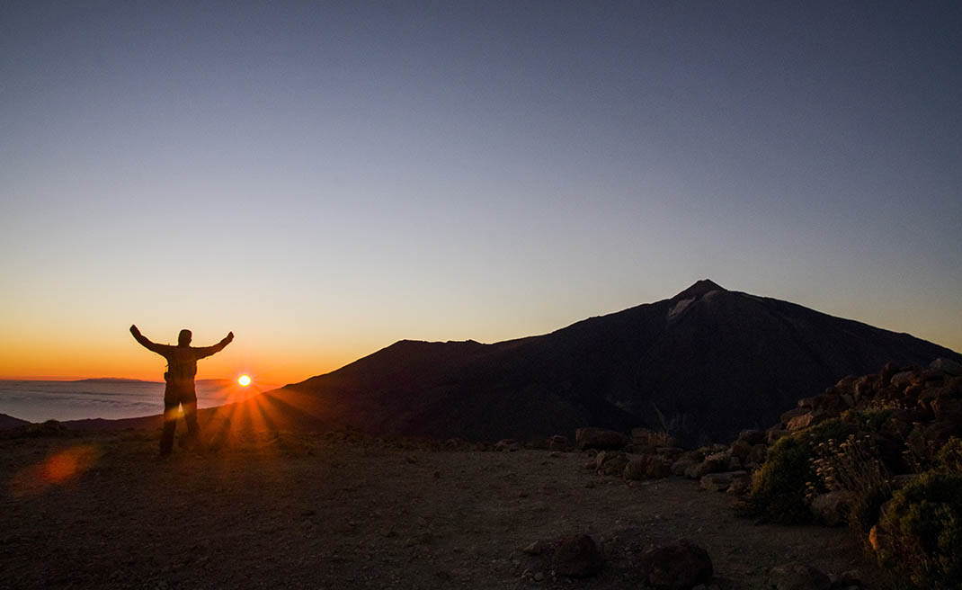
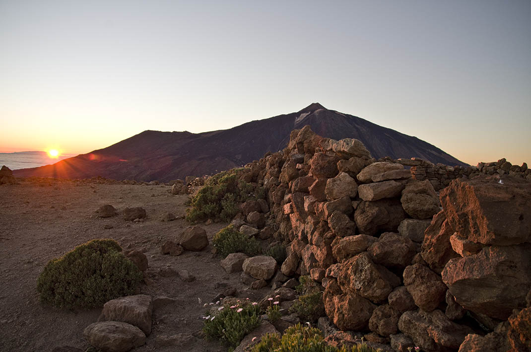
This mountain trail ascends from La Degollada de Guajara to the summit of Alto de Guajara, the highest point of the Caldera wall at 2,715m.

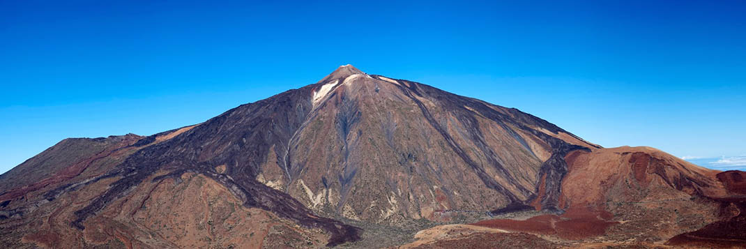
From this spectacular vantage point, the third highest peak in the National Park, you can get the best view of the Teide, Pico Viejo and Montaña Blanca volcanoes, as well as a sweeping view of the Caldera de Las Cañadas, with its lava flows and plains. 

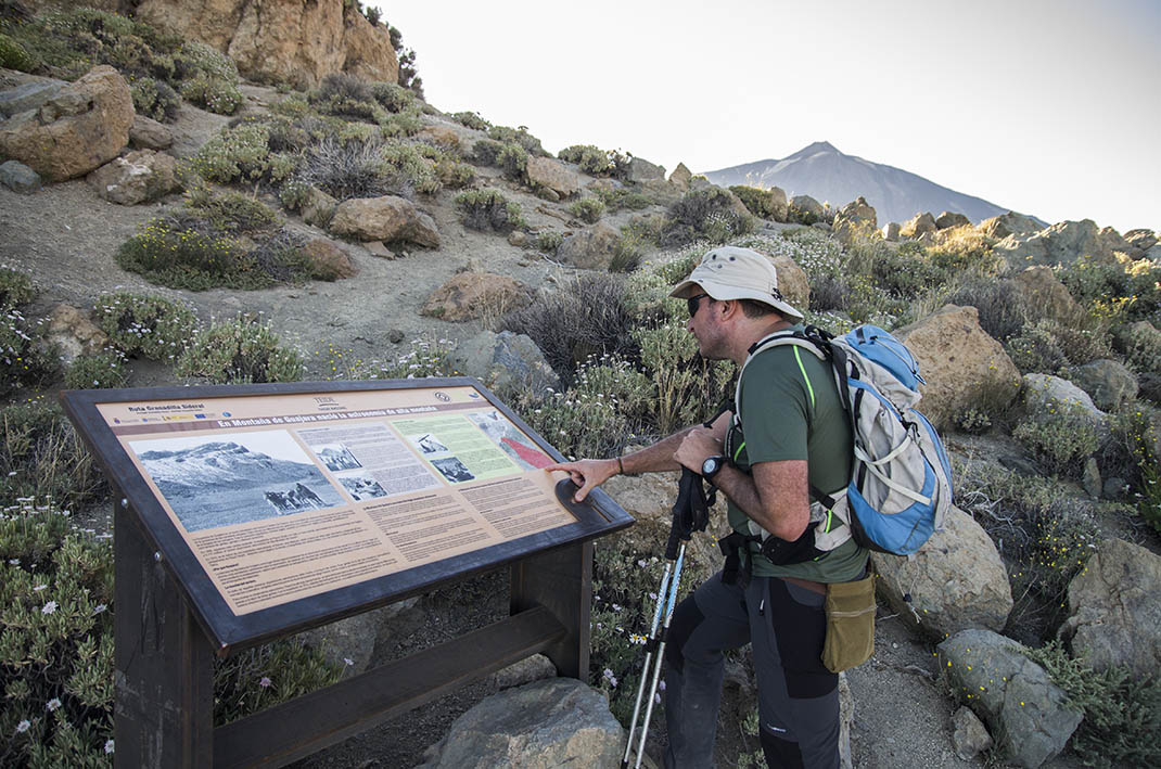
At the peak you can still see the remains of the cabin used by French astronomer Jean Mascart during his stay here, when he was studying Halley’s comet when it approached Earth in 1910. 

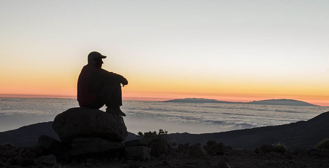
The southern slopes of the island are also visible throughout the climb, as are other islands in the archipelago on clear days.

Tips

  • Always stay on the marked trail and do not enter private property, hunting grounds, water galleries, wells or caves.
  • Pay special attention when crossing or walking along trails used by bicycles, horses or motor vehicles and when walking in ravines with water courses.
  • Avoid direct encounters with potentially dangerous animals, such as livestock, beehives, and dogs. 
  • Proceed with caution and watch for obstacles, loose rocks, uneven terrain or steep slopes to avoid accidents and falls.
  • Check out our guide to hiking in Tenerife and, if necessary, contact the emergency services by calling 112.


Recommendations and tips

Permits

Free access for all visitors, no reservation required.

More information

Technical information sheet

Route information

Walking route

Tenerife ON

Linear

3,78 km

2 h 45 m

404,73 m

372,19 m

One way with fitness level 3/5

  • Altitude gain:404,73 m

  • Altitude loss:372,19 m

  • Maximum altitude:2.714,84 m

  • Minimum altitude:2.377,63 m

Signage

Route code

PNT-15

Signposts and waymarkers with the code of the trail on dark green panels.

Signage

Route map and profile

Elevation profile

Difficulty

High *MIDE safe mountain criteria

  • Maximum altitude:2.714,84 m

  • Minimum altitude:2.377,63 m

Connections with other routes

How to get to route start point

Degollada de Guajara.

Degollada de Guajara only accessible on foot from trails PNT 08, GR TF 131 and PR-TF 86.

Degollada de Guajara only accessible on foot from trails PNT 08, GR-TF 131 and PR-TF 86.

How to get to route end point

Degollada de Ucanca.

Degollada de Ucanca only accessible on foot from the PNT 31 trail.

Degollada de Ucanca only accessible on foot from the PNT 31 trail.

Municipalities passed through

  • Granadilla de Abona
  • La Orotava
  • Vilaflor

Protected Areas

Transit

Parque Nacional del Teide

The Teide National Park is the best exampleof the high-mountain landscape of the Canary Islands.  It is a breathtaking setting where you can learn about some of the most spectacular volcanic ...

Discover the Protected Area
Parque Nacional del Teide

Transit

Parque Natural de la Corona Forestal

The Corona Forestal is the largest protected natural area in the Canary Islands, one of the most extensive forests on the islands, the lungs of Tenerife and the gateway to Mount Teide.  As its name ...

Discover the Protected Area
Parque Natural de Corona Forestal

Weather

Today, monday, in Granadilla de Abona


Clouds
Wind

5 km/h

Temperature

18ºC Maximum

12ºC Minimum

Rain

0%

3 day forecast

tuesday

18ºC Maximum

13ºC Minimum

wednesday

19ºC Maximum

14ºC Minimum

thursday

19ºC Maximum

14ºC Minimum

Places of interest

These are some of the points of interest you can find along this route.

Rock

Montaña de Guajara

Montaña de Guajara, at an imposing 2,718 metres, is the highest point in the National Park and...