ePrivacy and GPDR Cookie Consent management by TermsFeed Privacy Policy and Consent Generator PNT 31 Cumbres de Ucanca

PNT 31 Cumbres de Ucanca

PNT-31

Teide National Park

Cumbres de Ucanca
Cumbres de Ucanca
Cumbres de Ucanca
Cumbres de Ucanca
Cumbres de Ucanca

Difficulty: High

Description

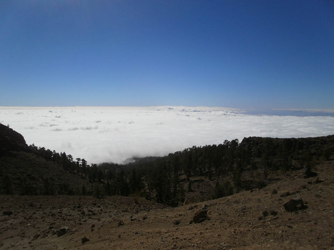
This trail offers uninterrupted views of the interior of the Las Cañadas caldera and the southern slopes of the island. 

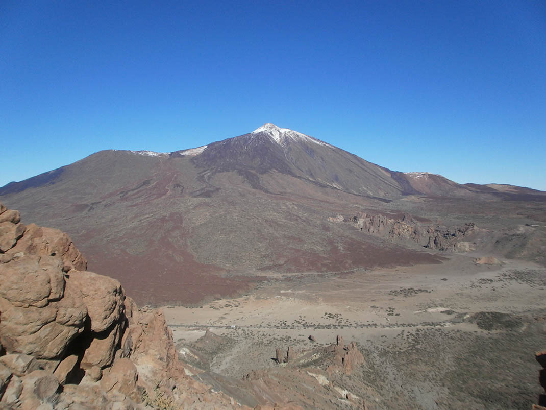
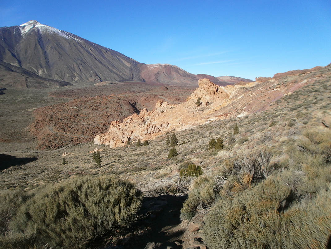
Highlights include Mount Teide and Pico Viejo, and the short tongue of lava known as El Sombrero de Chasna. 

The route begins in the area of El Capricho, as it leaves the PNT 04 trail (Siete Cañadas) and climbs an old and winding path up to La Degollada de Ucanca. This first stretch of the trail has an elevation gain of nearly 300 metres. 

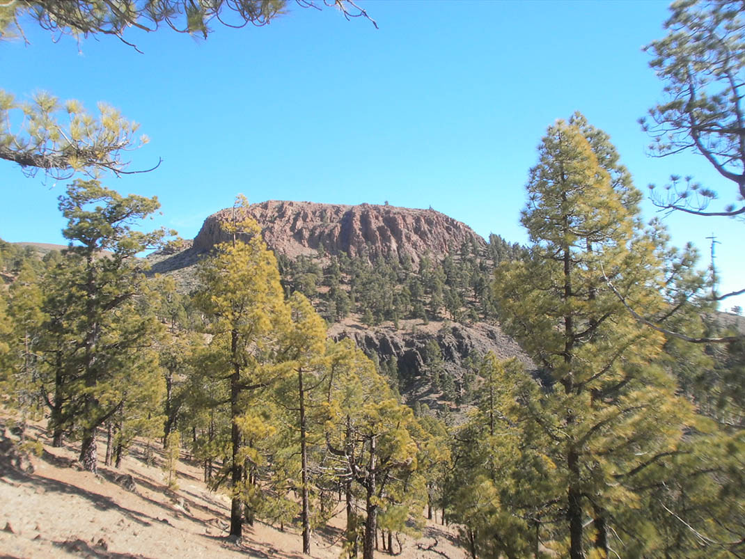
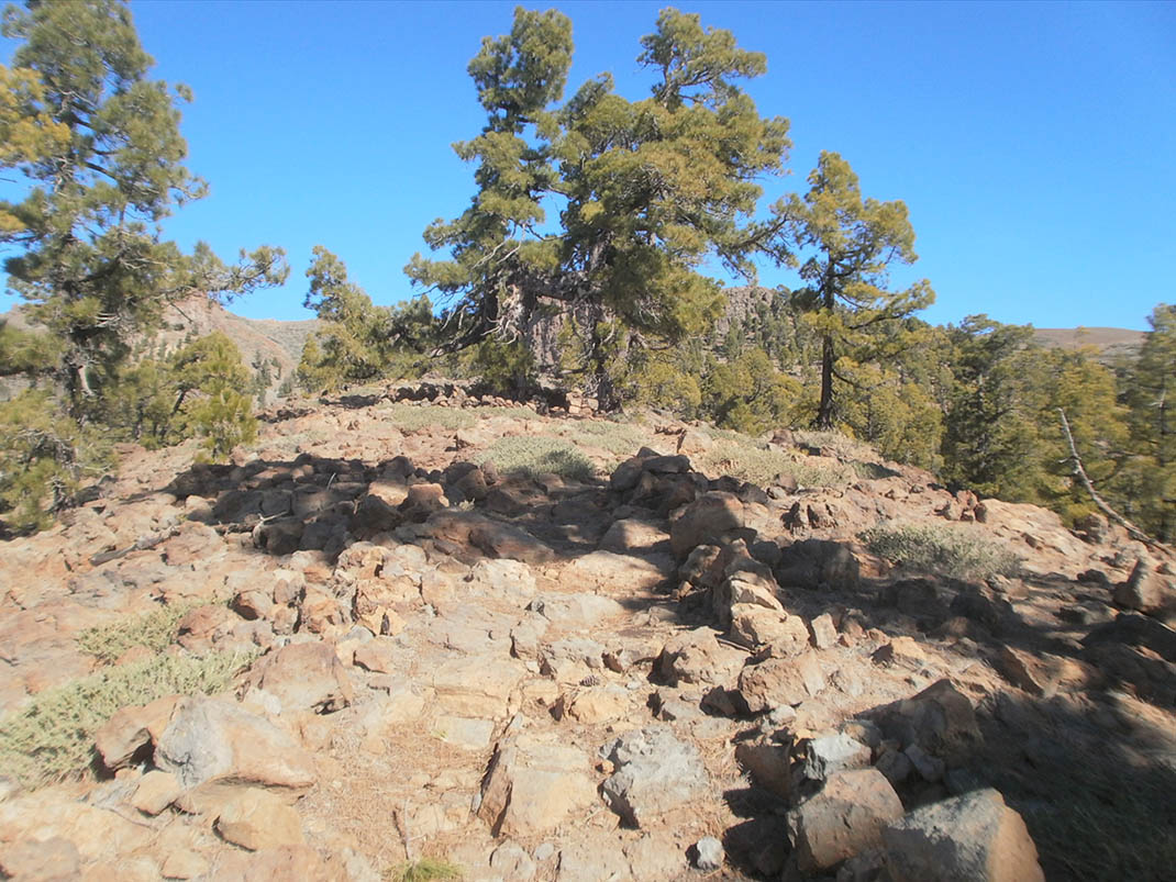
The track then runs along the top of the Cumbres de Ucanca before descending to the edge of the Teide National Park, passing by El Sombrero de Chasna. You will then arrive at the ridge of El Lomo del Asiento or Los Pegueros, where the scenery changes as old and twisted Canary Island pines emerge. 

Finally, the path either descends towards Vilaflor or you can take the path to the left to reach the Las Lajas Recreational Area.

Tips

  • Always stay on the marked trail and do not enter private property, hunting grounds, water galleries, wells or caves.
  • Pay special attention when crossing or walking along trails used by bicycles, horses or motor vehicles and when walking in ravines with water courses.
  • Avoid direct encounters with potentially dangerous animals, such as livestock, beehives, and dogs. 
  • Proceed with caution and watch for obstacles, loose rocks, uneven terrain or steep slopes to avoid accidents and falls. 
  • Check out our guide to hiking in Tenerife and, if necessary, contact the emergency services by calling 112.


Recommendations and tips

Permits

Free access for all visitors, no reservation required.

More information

Technical information sheet

Route information

Walking route

Tenerife ON

Linear

7,69 km

3 h 55 m

761,39 m

676,72 m

One way with fitness level 3/5

  • Altitude gain:761,39 m

  • Altitude loss:676,72 m

  • Maximum altitude:2.481,56 m

  • Minimum altitude:2.132,17 m

Signage

Route code

PNT-31

Signposts and waymarkers with the code of the trail on dark green panels.

Signage

Route map and profile

Elevation profile

Difficulty

High *MIDE safe mountain criteria

  • Maximum altitude:2.481,56 m

  • Minimum altitude:2.132,17 m

Connections with other routes

How to get to route start point

Close to the Parador Nacional de Las Cañadas del Teide.

Bus numbers 342 and 348 not far away, Parador del Teide bus stop code 7684. TITSA

Parking spaces available not far away at the Parador Nacional de Las Cañadas del Teide.

How to get to route end point

Lomo del Asiento.

End point only accessible on foot.

End point only accessible on foot.

Municipalities passed through

  • La Orotava
  • Vilaflor

Protected Areas

Transit

Parque Nacional del Teide

The Teide National Park is the best exampleof the high-mountain landscape of the Canary Islands.  It is a breathtaking setting where you can learn about some of the most spectacular volcanic ...

Discover the Protected Area
Parque Nacional del Teide

Transit

Parque Natural de la Corona Forestal

The Corona Forestal is the largest protected natural area in the Canary Islands, one of the most extensive forests on the islands, the lungs of Tenerife and the gateway to Mount Teide.  As its name ...

Discover the Protected Area
Parque Natural de Corona Forestal

Weather

Today, monday, in Vilaflor


Clouds
Wind

5 km/h

Temperature

13ºC Maximum

7ºC Minimum

Rain

0%

3 day forecast

tuesday

14ºC Maximum

7ºC Minimum

wednesday

15ºC Maximum

9ºC Minimum

thursday

15ºC Maximum

9ºC Minimum

Places of interest

These are some of the points of interest you can find along this route.

Rock

Sombrero de Chasna

Sombrero de Chasna is a unique geological phenomenon in the south of the island of Tenerife. It...