ePrivacy and GPDR Cookie Consent management by TermsFeed Privacy Policy and Consent Generator PNT 11 Mirador de la Fortaleza (Fortaleza Viewpoint)

PNT 11 Mirador de la Fortaleza (Fortaleza Viewpoint)

PNT-11

Parque Nacional del Teide

Mirador de la Fortaleza

Difficulty: Medium

Description

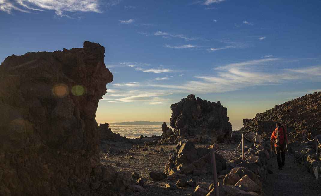
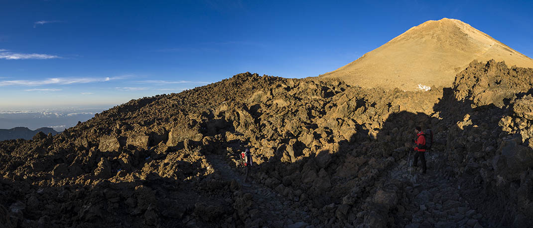
This short and well-maintained route takes you from La Rambleta to the La Fortaleza viewpoint where you can enjoy views of the north of the National Park and the island. 

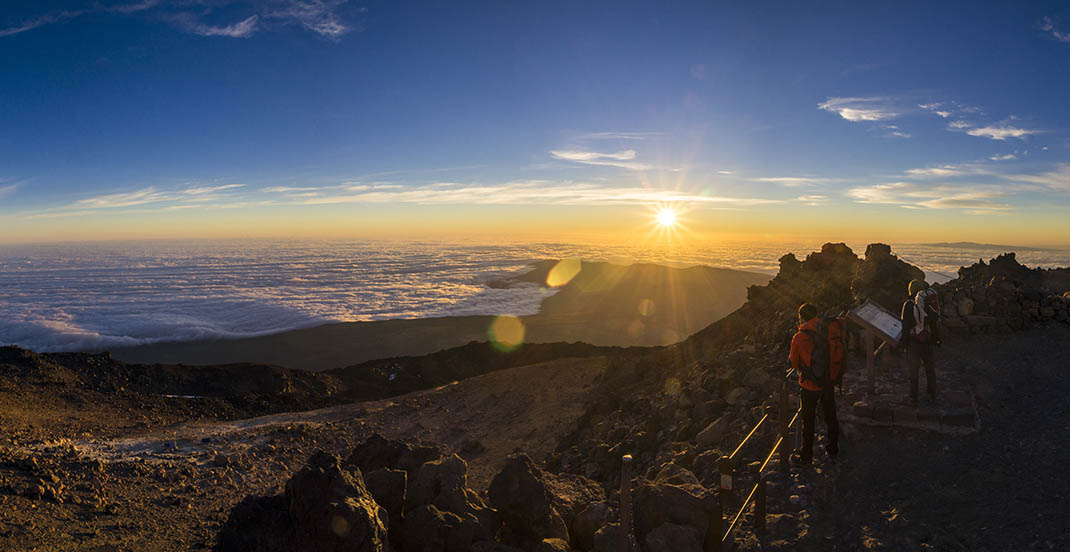
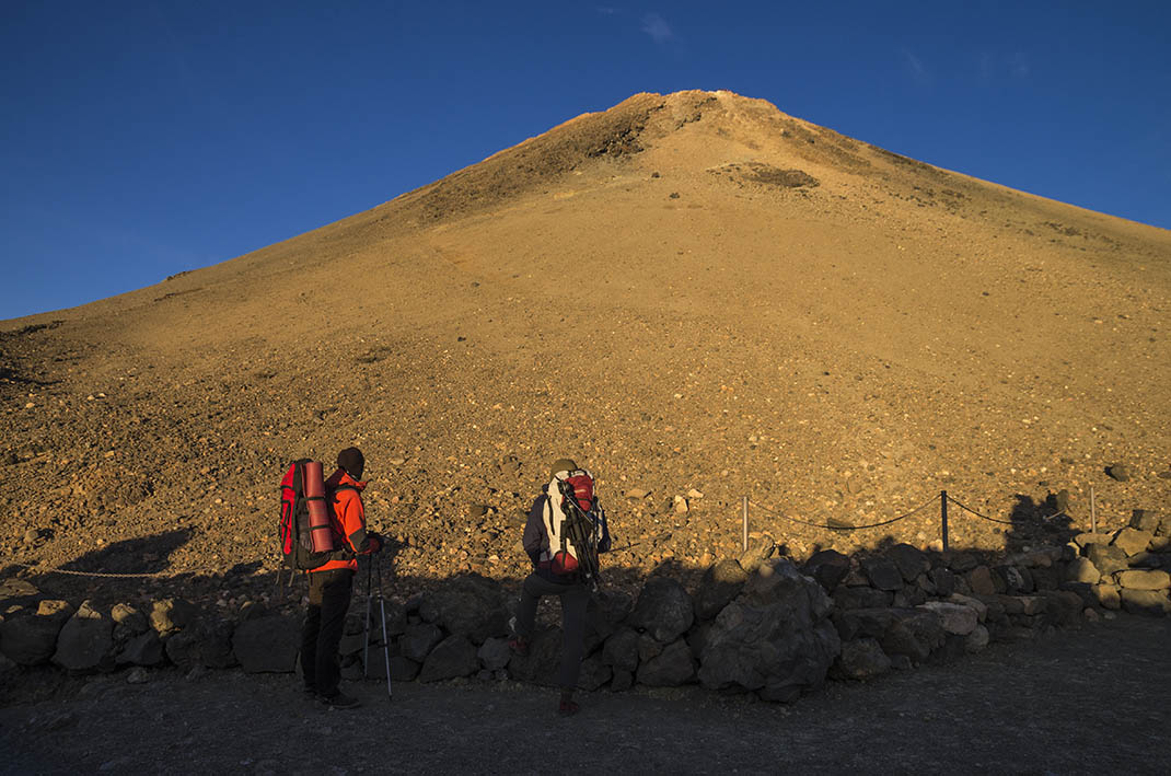
Weather permitting, the viewpoint offers breathtaking views with the crags of La Fortaleza towering in the foreground. This formidable reddish-coloured rocky outcrop is the result of highly viscous phonolitic lava accumulating after spewing from a volcanic vent. 

From this point you will also have a panoramic view of the east of the island. 

The sea of clouds formed by the trade winds on the northern slopes of Tenerife is striking. This phenomenon can often be seen from this viewpoint, thanks to a layer of dry wind that prevents the more humid layer of clouds from rising.

Tips

  • Always stay on the marked trail and do not enter private property, hunting grounds, water galleries, wells or caves.  
  • Pay special attention when crossing or walking along trails used by bicycles, horses or motor vehicles and when walking in ravines with water courses.
  • Avoid direct encounters with potentially dangerous animals, such as livestock, beehives, and dogs. 
  • Proceed with caution and watch for obstacles, loose rocks, uneven terrain or steep slopes to avoid accidents and falls. 
  • Check out our guide to hiking in Tenerife and, if necessary, contact the emergency services by calling 112.
Recommendations and tips

Permits

Free access for all visitors, no reservation required.

More information

Technical information sheet

Route information

Walking route

Tenerife ON

Linear

0,58 km

0 h 45 m

38,52 m

41,64 m

One way with fitness level 3/5

  • Altitude gain:38,52 m

  • Altitude loss:41,64 m

  • Maximum altitude:3.554,72 m

  • Minimum altitude:3.535,34 m

Signage

Route code

PNT-11

Signposts and waymarkers with the code of the trail on dark green panels.

Signage

Route map and profile

Elevation profile

Difficulty

Medium *MIDE safe mountain criteria

  • Maximum altitude:3.554,72 m

  • Minimum altitude:3.535,34 m

Connections with other routes

How to get to route start point

La Rambleta

La Rambleta only accessible via the Teide cable car or on foot from Montaña Blanca, Los Roques de García or Las Narices del Teide. 

La Rambleta only accessible via the Teide cable car or on foot from Montaña Blanca, Los Roques de García or Las Narices del Teide. 

How to get to route end point

La Fortaleza Viewpoint.

La Fortaleza viewpoint only accessible on foot from trails PNT 11 (La Fortaleza viewpoint) and PR-TF 41 (Playa del Socorro - Pico del Teide) or from La Rambleta (via cable car). 

La Fortaleza viewpoint only accessible on foot from trails PNT 11 (La Fortaleza viewpoint) and PR-TF 41 (Playa del Socorro - Pico del Teide) or from La Rambleta (via cable car). 

Municipalities passed through

  • La Orotava

Protected Areas

Transit

Parque Nacional del Teide

The Teide National Park is the best exampleof the high-mountain landscape of the Canary Islands.  It is a breathtaking setting where you can learn about some of the most spectacular volcanic ...

Discover the Protected Area
Parque Nacional del Teide

Transit

Monumento Natural El Teide

Visible from almost any point on the island, the Teide Natural Monument figures prominently in the mythical landscape of Tenerife and of the entire archipelago of the Canary Islands.  It is also of ...

Discover the Protected Area
Monumento Natural El Teide

Weather

Today, friday, in La Orotava


Clouds
Wind

2 km/h

Temperature

20ºC Maximum

17ºC Minimum

Rain

0%

3 day forecast

saturday

18ºC Maximum

15ºC Minimum

sunday

17ºC Maximum

14ºC Minimum

monday

18ºC Maximum

14ºC Minimum