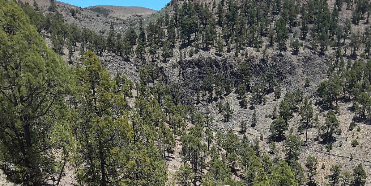
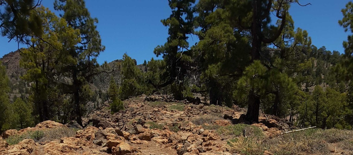
ePrivacy and GPDR Cookie Consent management by TermsFeed Privacy Policy and Consent Generator PNT 31.1 Lomo Los Pegueros spur trail

PNT 31.1 Lomo Los Pegueros spur trail

PNT-31.1

Parque Nacional del Teide

PNT 31.1 Ramal del Lomo Los Pegueros

Difficulty: Medium

Description

A short spur trail that will take you to El Lomo Los Pegueros from the PNT 31 trail (Cumbres de Ucanca). 

Although it is barely half a kilometre long, its steep slope together with the altitude of the trail make this a challenging route.

Tips

  • Always stay on the marked trail and do not enter private property, hunting grounds, water galleries, wells or caves.
  • Pay special attention when crossing or walking along trails used by bicycles, horses or motor vehicles and when walking in ravines with water courses.
  • Avoid direct encounters with potentially dangerous animals, such as livestock, beehives, and dogs. 
  • Proceed with caution and watch for obstacles, loose rocks, uneven terrain or steep slopes to avoid accidents and falls. 
  • Check out our guide to hiking in Tenerife and, if necessary, contact the emergency services by calling 112.


Recommendations and tips

Permits

Free access for all visitors, no reservation required.

More information

Technical information sheet

Route information

Walking route

Tenerife ON

Linear

0,40 km

0 h 20 m

8,52 m

45,29 m

One way with fitness level 3/5

  • Altitude gain:8,52 m

  • Altitude loss:45,29 m

  • Maximum altitude:2.281,49 m

  • Minimum altitude:2.244,72 m

Signage

Route code

PNT-31.1

Signposts and waymarkers with the code of the trail on dark green panels.

Signage

Route map and profile

Elevation profile

Difficulty

Medium *MIDE safe mountain criteria

  • Maximum altitude:2.281,49 m

  • Minimum altitude:2.244,72 m

Connections with other routes

How to get to route start point

PNT 31 Cumbres de Ucanca.

Trailhead only accessible on foot from trails PNT 31 and PNT 31.2.

Trailhead only accessible on foot from trails PNT 31 and PNT 31.2.

How to get to route end point

Lomo de Los Pegueros.

End point only accessible on foot.

End point only accessible on foot.

Municipalities passed through

  • Vilaflor

Protected Areas

Transit

Parque Nacional del Teide

The Teide National Park is the best exampleof the high-mountain landscape of the Canary Islands.  It is a breathtaking setting where you can learn about some of the most spectacular volcanic ...

Discover the Protected Area
Parque Nacional del Teide

Transit

Parque Natural de la Corona Forestal

The Corona Forestal is the largest protected natural area in the Canary Islands, one of the most extensive forests on the islands, the lungs of Tenerife and the gateway to Mount Teide.  As its name ...

Discover the Protected Area
Parque Natural de Corona Forestal

Weather

Today, monday, in Vilaflor


Clouds
Wind

10 km/h

Temperature

13ºC Maximum

7ºC Minimum

Rain

0%

3 day forecast

tuesday

14ºC Maximum

7ºC Minimum

wednesday

14ºC Maximum

9ºC Minimum

thursday

15ºC Maximum

10ºC Minimum