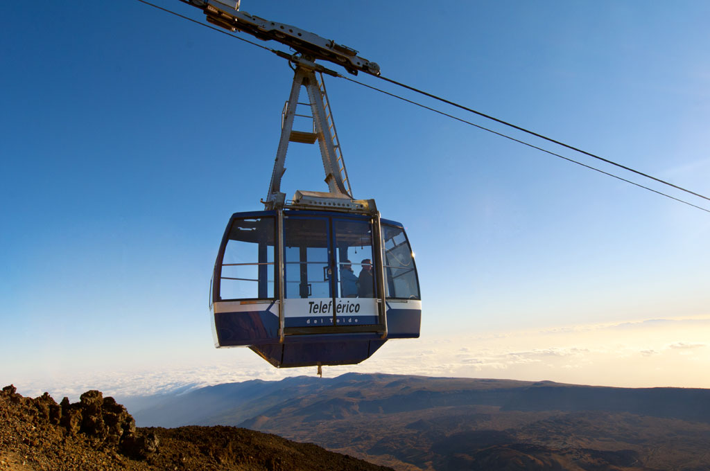
ePrivacy and GPDR Cookie Consent management by TermsFeed Privacy Policy and Consent Generator PNT 16 Sanatorio (Sanatorium)

PNT 16 Sanatorio (Sanatorium)

PNT-16

Teide National Park

Sanatorio
Sanatorio
Sanatorio
Sanatorio
Sanatorio

Difficulty: Medium

Description

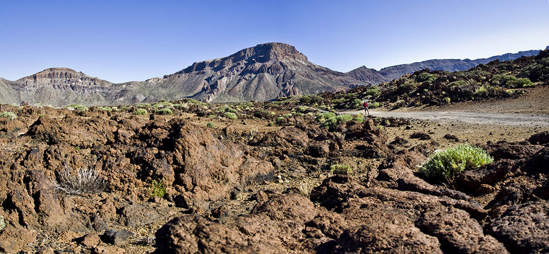
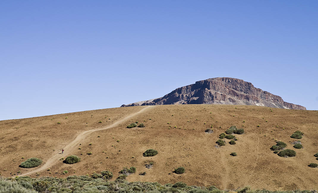
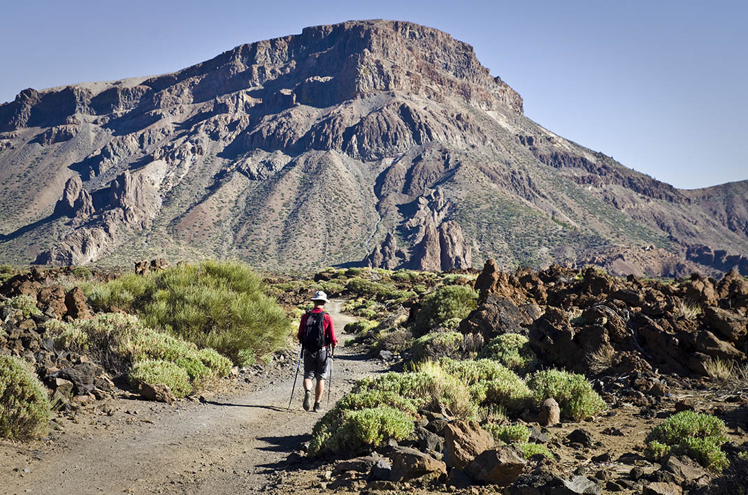
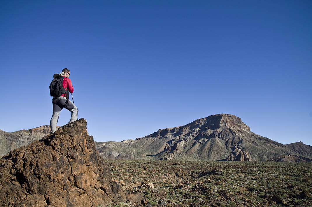
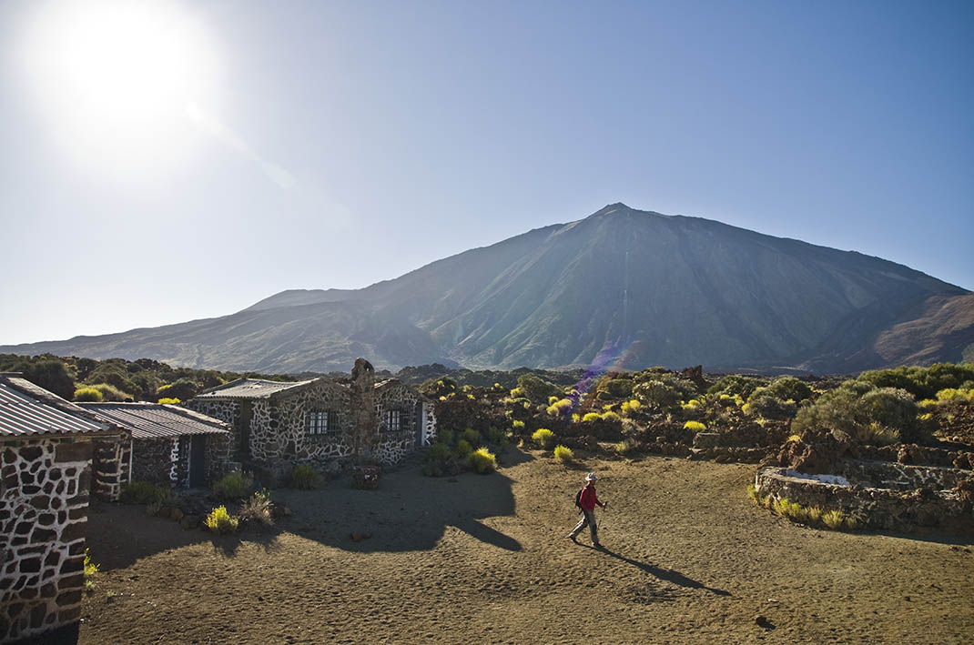
This trail starts at the foot of Mount Teide, the imposing presence of the peak becoming more and more spectacular as you leave the mountain behind. 

It runs along an old track that ends at the Siete Cañadas trail at the foot of the Guajara escarpments. 

Along the way, you will see the curious shapes of the lava from the Montaña Blanca volcanic dome and the beehives where the locals collect the highly prized retama (broom) honey in spring. 

The landscape is rich in Teide white broom or retama (Spartocytisus supranubius), Teide sticky broom or codeso (Adenocarpus viscosus), rosalillo de cumbre (Pterocephalus lasiospermus), marguerites (Argyranthemum frutescens) and flixweed or hierba pajonera (Descurainia bourgaeana), flowering plants that tinge the scenery with gorgeous colour every spring and summer and attract a multitude of insects.

Tips

  • Always stay on the marked trail and do not enter private property, hunting grounds, water galleries, wells or caves.
  • Pay special attention when crossing or walking along trails used by bicycles, horses or motor vehicles and when walking in ravines with water courses.
  • Avoid direct encounters with potentially dangerous animals, such as livestock, beehives, and dogs.
  • Proceed with caution and watch for obstacles, loose rocks, uneven terrain or steep slopes to avoid accidents and falls.
  • Check out our guide to hiking in Tenerife and, if necessary, contact the emergency services by calling 112.


Recommendations and tips

Permits

Free access for all visitors, no reservation required.

More information

Technical information sheet

Route information

Walking route

Tenerife ON

Linear

4,58 km

1 h 45 m

63,78 m

155,08 m

One way with fitness level 3/5

  • Altitude gain:63,78 m

  • Altitude loss:155,08 m

  • Maximum altitude:2.294,71 m

  • Minimum altitude:2.196,59 m

Signage

Route code

PNT-16

Signposts and waymarkers with the code of the trail on dark green panels.

Signage

Route map and profile

Elevation profile

Difficulty

Medium *MIDE safe mountain criteria

  • Maximum altitude:2.294,71 m

  • Minimum altitude:2.196,59 m

Connections with other routes

How to get to route start point

Carretera de Las Cañadas del Teide (TF-21), km 43.3.

Bus numbers 341, 342 and 348 less than 500 m away, Teleférico del Teide bus stop code 7685. TITSA

Parking spaces available at 2 nearby viewpoints.

How to get to route end point

PNT 04 (Siete Cañadas).

End point only accessible on foot from trails PNT 04, GR-TF 131 and PR-TF 86.

End point only accessible on foot from trails PNT 04, GR TF 131 and PR TF 86.

Municipalities passed through

  • La Orotava

Protected Areas

Transit

Parque Nacional del Teide

The Teide National Park is the best exampleof the high-mountain landscape of the Canary Islands.  It is a breathtaking setting where you can learn about some of the most spectacular volcanic ...

Discover the Protected Area
Parque Nacional del Teide

Weather

Today, monday, in La Orotava


Clouds
Wind

3 km/h

Temperature

18ºC Maximum

14ºC Minimum

Rain

0%

3 day forecast

tuesday

19ºC Maximum

14ºC Minimum

wednesday

21ºC Maximum

16ºC Minimum

thursday

21ºC Maximum

16ºC Minimum

Places of interest

These are some of the points of interest you can find along this route.

Teleferico_Teide
Unique building

Teide Cable Car

The base station of the Teide Cable Car has a rest area, cafeteria and buffet restaurant with...