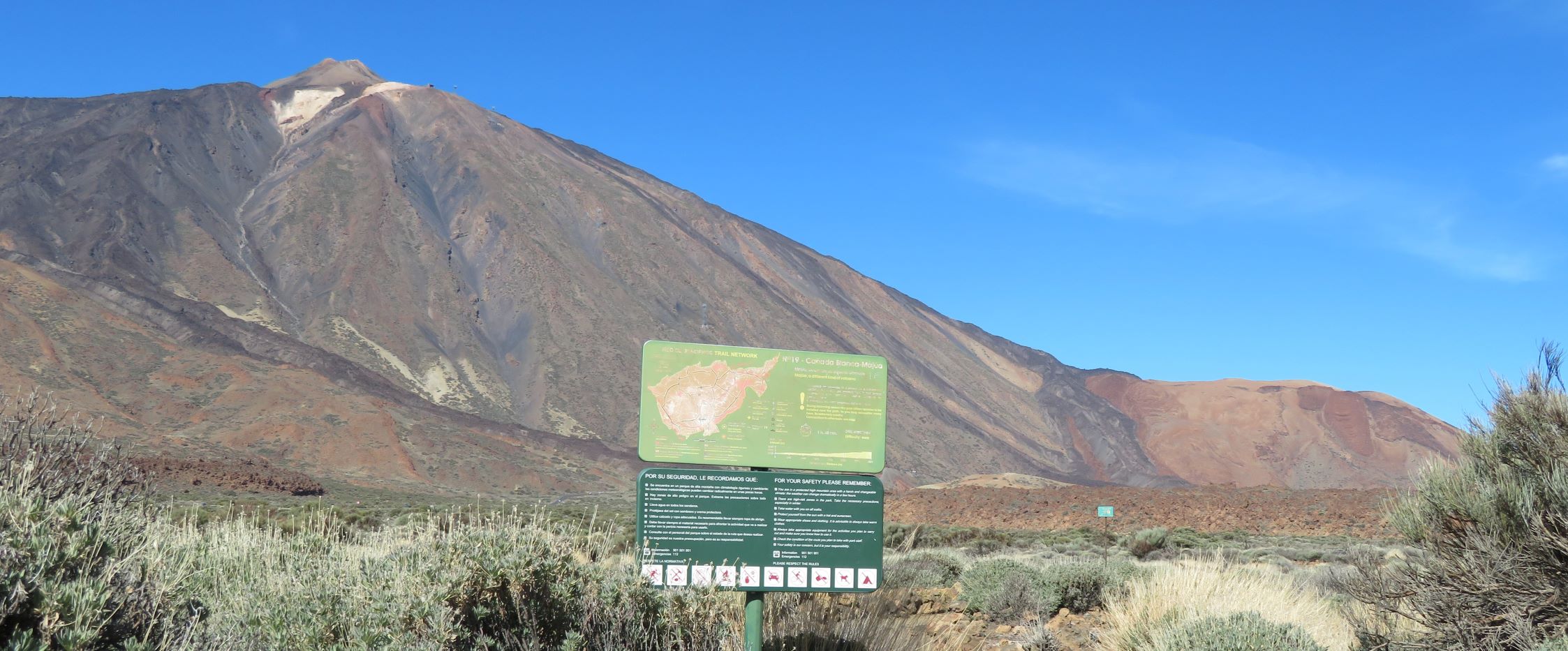
ePrivacy and GPDR Cookie Consent management by TermsFeed Privacy Policy and Consent Generator PNT 19 Majúa

PNT 19 Majúa

PNT-19

Parque Nacional del Teide

PNT 19 Majua
PNT 19 Majua
PNT 19 Majua
PNT 19 Majua
PNT 19 Majua

Difficulty: Low

Description

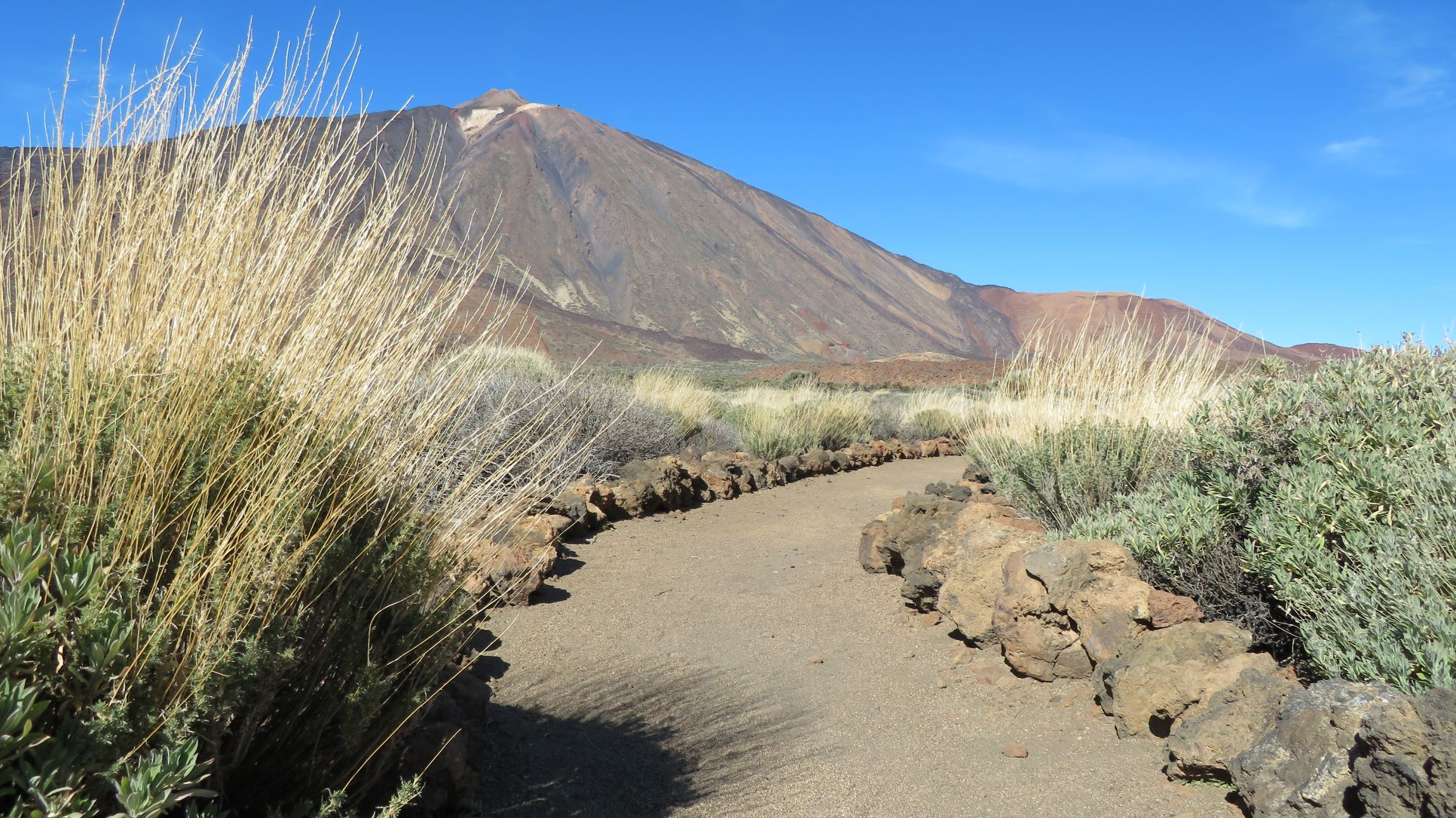
This trail descends gently down the slopes of Mount Teide to the Parador, located in the middle of the area known as Cañada Blanca. 

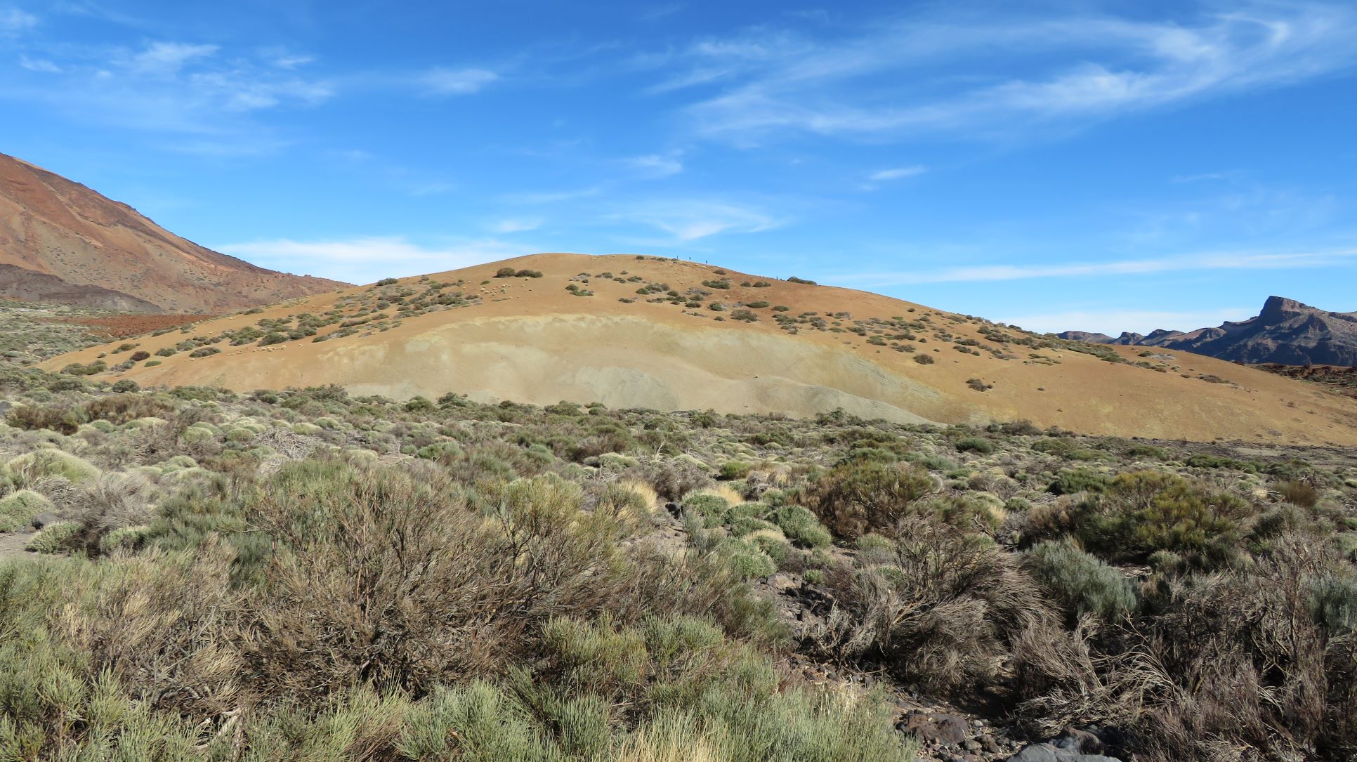
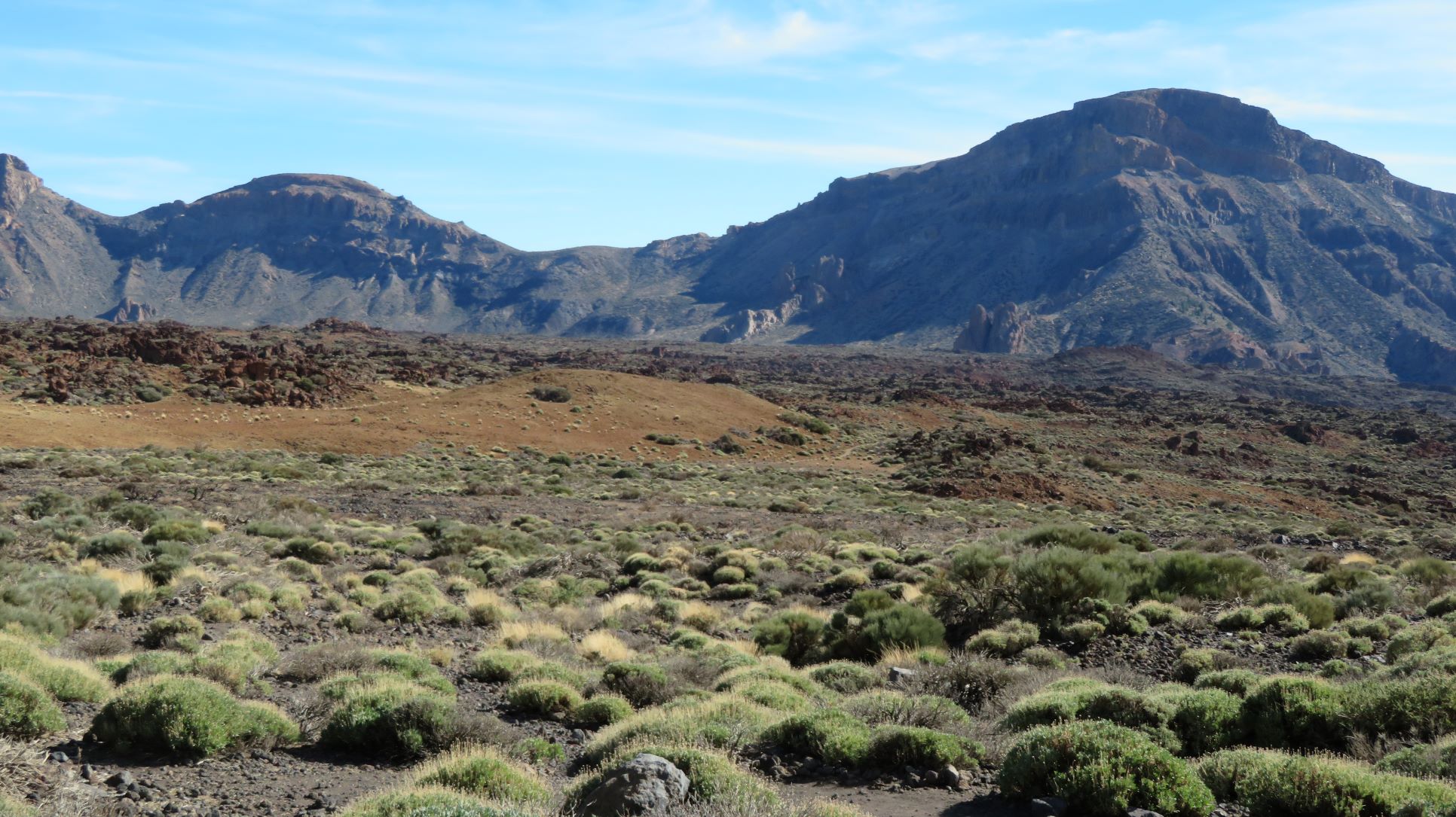
The path runs around the pumice cone of Montaña Majúa, then skirts the lava flows and continues through the broom scrubland of Cañada Blanca. 

The landscape is thickly covered with Teide white broom or retama (Spartocytisus supranubius), but you will also see Teide sticky broom or codeso (Adenocarpus viscosus), flixweed or hierba pajonera (Descurainia bourgaeana), rosalillo de cumbre (Pterocephalus lasiospermus) and marguerites (Argyranthemum frutescens).

Tips

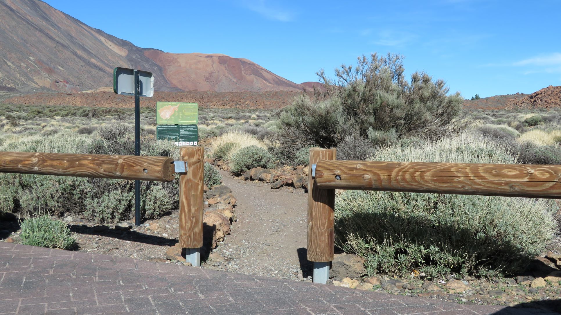
  • Always stay on the marked trail and do not enter private property, hunting grounds, water galleries, wells or caves.
  • Pay special attention when crossing or walking along trails used by bicycles, horses or motor vehicles and when walking in ravines with water courses.
  • Avoid direct encounters with potentially dangerous animals, such as livestock, beehives, and dogs. 
  • Proceed with caution and watch for obstacles, loose rocks, uneven terrain or steep slopes to avoid accidents and falls. 
  • Check out our guide to hiking in Tenerife and, if necessary, contact the emergency services by calling 112.


Recommendations and tips

Permits

Free access for all visitors, no reservation required.

More information

Technical information sheet

Route information

Walking route

Tenerife ON

Linear

4,18 km

1 h 30 m

20,03 m

166,48 m

One way with fitness level 3/5

  • Altitude gain:20,03 m

  • Altitude loss:166,48 m

  • Maximum altitude:2.294,71 m

  • Minimum altitude:2.148,25 m

Signage

Route code

PNT-19

Signposts and waymarkers with the code of the trail on dark green panels.

Signage

Route map and profile

Elevation profile

Difficulty

Low *MIDE safe mountain criteria

  • Maximum altitude:2.294,71 m

  • Minimum altitude:2.148,25 m

Connections with other routes

How to get to route start point

Carretera de Las Cañadas del Teide (TF-21), km 43.3.

bus numbers 341, 342 and 348 less than 500 m away, Teleférico del Teide bus stop code 7685. TITSA

Parking spaces available at 2 nearby viewpoints.

How to get to route end point

Parador Nacional de Las Cañadas del Teide, located in Las Cañadas del Teide (TF-21), km 46.

Bus numbers 342 and 348, Parador del Teide bus stop code 7684. TITSA

Parking spaces are available both at the Parador and at the La Ruleta viewpoint, with reserved areas for people with reduced mobility.

Municipalities passed through

  • La Orotava

Protected Areas

Transit

Parque Nacional del Teide

The Teide National Park is the best exampleof the high-mountain landscape of the Canary Islands.  It is a breathtaking setting where you can learn about some of the most spectacular volcanic ...

Discover the Protected Area
Parque Nacional del Teide

Weather

Today, monday, in La Orotava


Clouds
Wind

3 km/h

Temperature

18ºC Maximum

14ºC Minimum

Rain

0%

3 day forecast

tuesday

19ºC Maximum

14ºC Minimum

wednesday

21ºC Maximum

16ºC Minimum

thursday

21ºC Maximum

16ºC Minimum

Places of interest

These are some of the points of interest you can find along this route.

Teleferico_Teide
Unique building

Teide Cable Car

The base station of the Teide Cable Car has a rest area, cafeteria and buffet restaurant with...

Ermita_Nieves_Cañadas
Unique building

Chapel of Nuestra Señora de las Nieves

Chapel located next to the Parador de las Cañadas del Teide, with a rectangular-shaped nave. It...