ePrivacy and GPDR Cookie Consent management by TermsFeed Privacy Policy and Consent Generator Alto de Guamaso Accessible Trail

Alto de Guamaso Accessible Trail

Teide National Park

Sendero accesible Alto de Guamaso

Difficulty: Low

Description

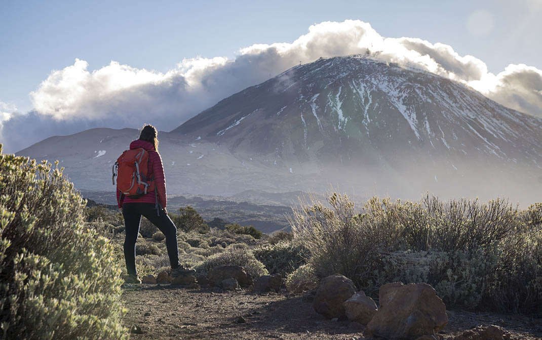
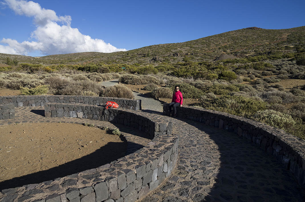
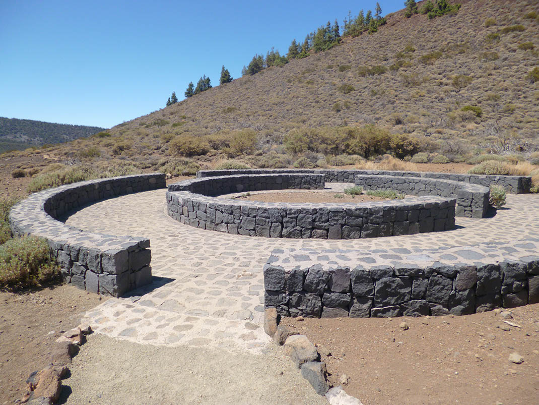
This flat and accessible trail takes you right up to the volcanic cone of Guamaso. 

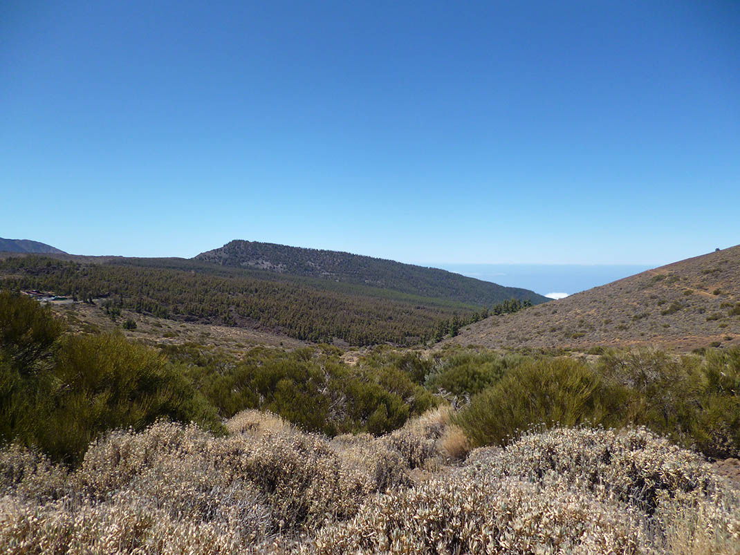
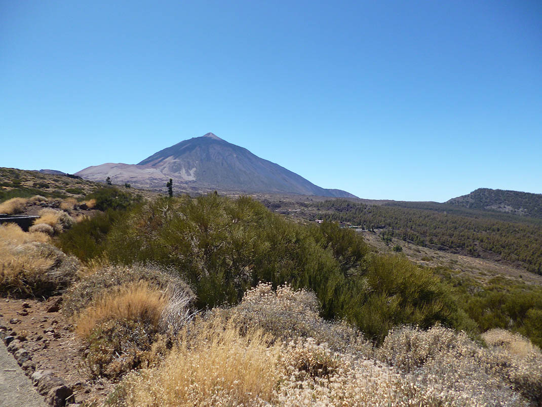
The cone was formed by the accumulation of volcanic material with striking lava bombs dotted over its slopes. This route immerses you in the typical vegetation of the National Park, and you can see the transition from Canary Island pine forest to high mountain scrubland. 

On some days you can also see the distinctive sea of clouds formed in this area by the trade winds and the towering presence of Mount Teide on the western horizon.

Tips

  • Always stay on the marked trail and do not enter private property, hunting grounds, water galleries, wells or caves. 
  • Pay special attention when crossing or walking along trails used by bicycles, horses or motor vehicles and when walking in ravines with water courses.
  • Avoid direct encounters with potentially dangerous animals, such as livestock, beehives, and dogs.
  • Proceed with caution and watch for obstacles, loose rocks, uneven terrain or steep slopes to avoid accidents and falls.
  • Check out our guide to hiking in Tenerife and, if necessary, contact the emergency services by calling 112.


Recommendations and tips

Permits

Free access for all visitors, no reservation required.

More information

Technical information sheet

Route information

Walking route

Tenerife ON

Linear

0,30 km

0 h 10 m

1,52 m

12,58 m

One way with fitness level 3/5

  • Altitude gain:1,52 m

  • Altitude loss:12,58 m

  • Maximum altitude:2.078,04 m

  • Minimum altitude:2.066,50 m

Signage

Signposts and waymarkers with the code of the trail on dark green panels.

Signage

Route map and profile

Elevation profile

Difficulty

Low *MIDE safe mountain criteria

  • Maximum altitude:2.078,04 m

  • Minimum altitude:2.066,50 m

Connections with other routes

How to get to route start point

Carretera General del Teide (TF-21), km 42.3.

Bus numbers 348 and 342, El Teide - El Portillo bus stop code 7690. TITSA

Parking spaces available in the village.

How to get to route end point

Carretera General del Teide (TF-21), km 42.3.

End point only accessible from the trail.

End point only accessible from the trail.

Municipalities passed through

  • La Orotava

Protected Areas

Transit

Parque Nacional del Teide

The Teide National Park is the best exampleof the high-mountain landscape of the Canary Islands.  It is a breathtaking setting where you can learn about some of the most spectacular volcanic ...

Discover the Protected Area
Parque Nacional del Teide

Transit

Parque Natural de la Corona Forestal

The Corona Forestal is the largest protected natural area in the Canary Islands, one of the most extensive forests on the islands, the lungs of Tenerife and the gateway to Mount Teide.  As its name ...

Discover the Protected Area
Parque Natural de Corona Forestal

Weather

Today, monday, in La Orotava


Clouds
Wind

2 km/h

Temperature

19ºC Maximum

14ºC Minimum

Rain

0%

3 day forecast

tuesday

20ºC Maximum

14ºC Minimum

wednesday

21ºC Maximum

16ºC Minimum

thursday

21ºC Maximum

16ºC Minimum

Places of interest

These are some of the points of interest you can find along this route.

Rock

Montaña de Guamaso

Montaña de Guamaso is a volcanic cone with a gently sloping profile, carpeted with lush...