

Description
This trail begins with a steep and challenging ascent, so you should make sure you are in good physical condition to complete the entire route. Otherwise, consider hiking only a section of it.
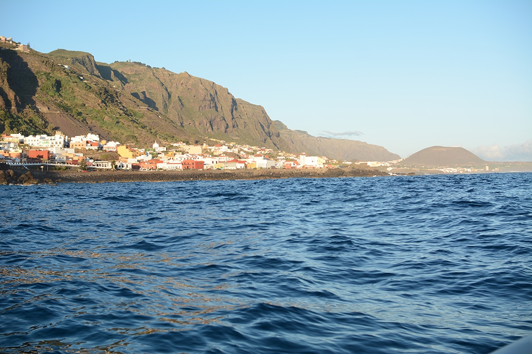
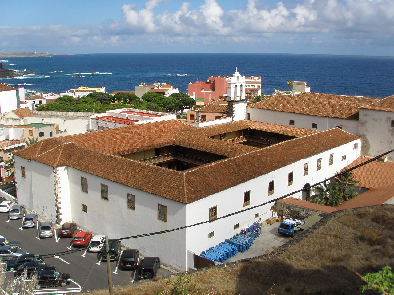
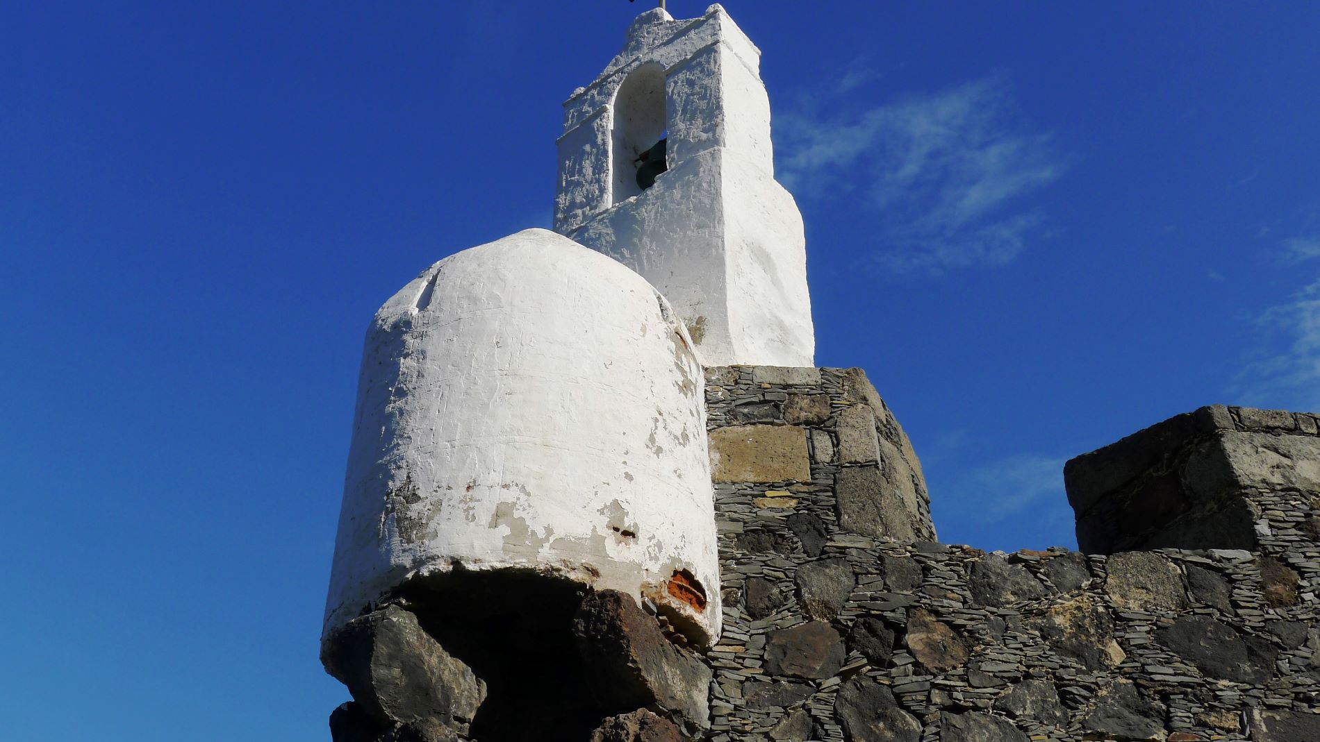
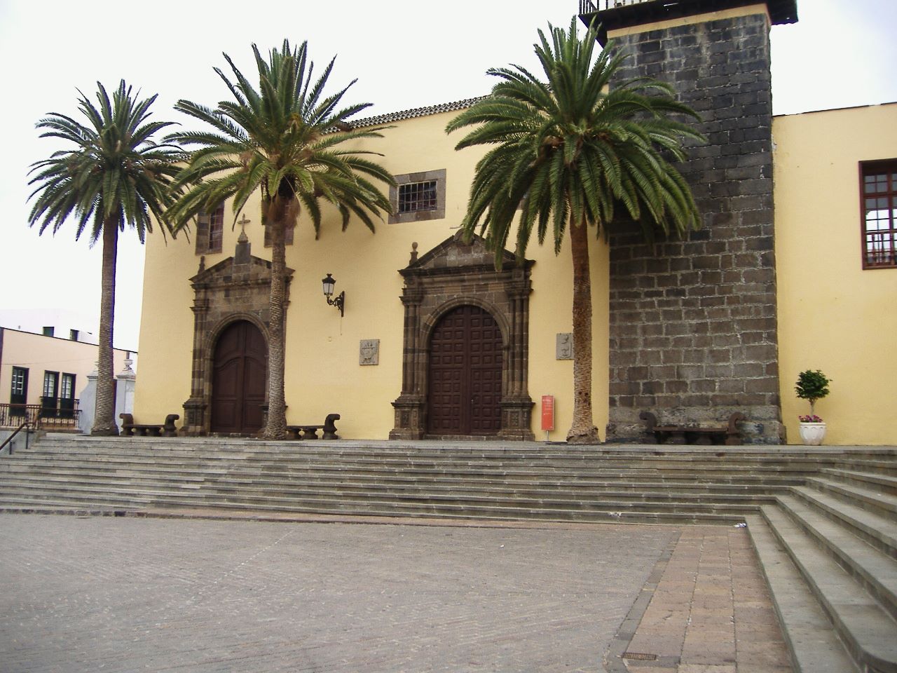
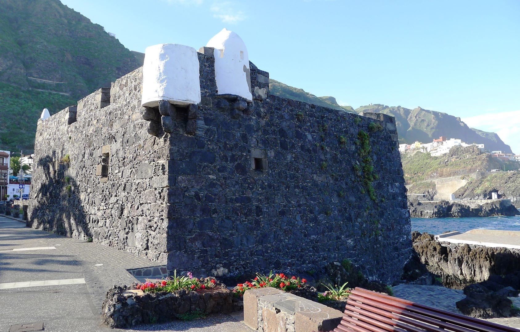
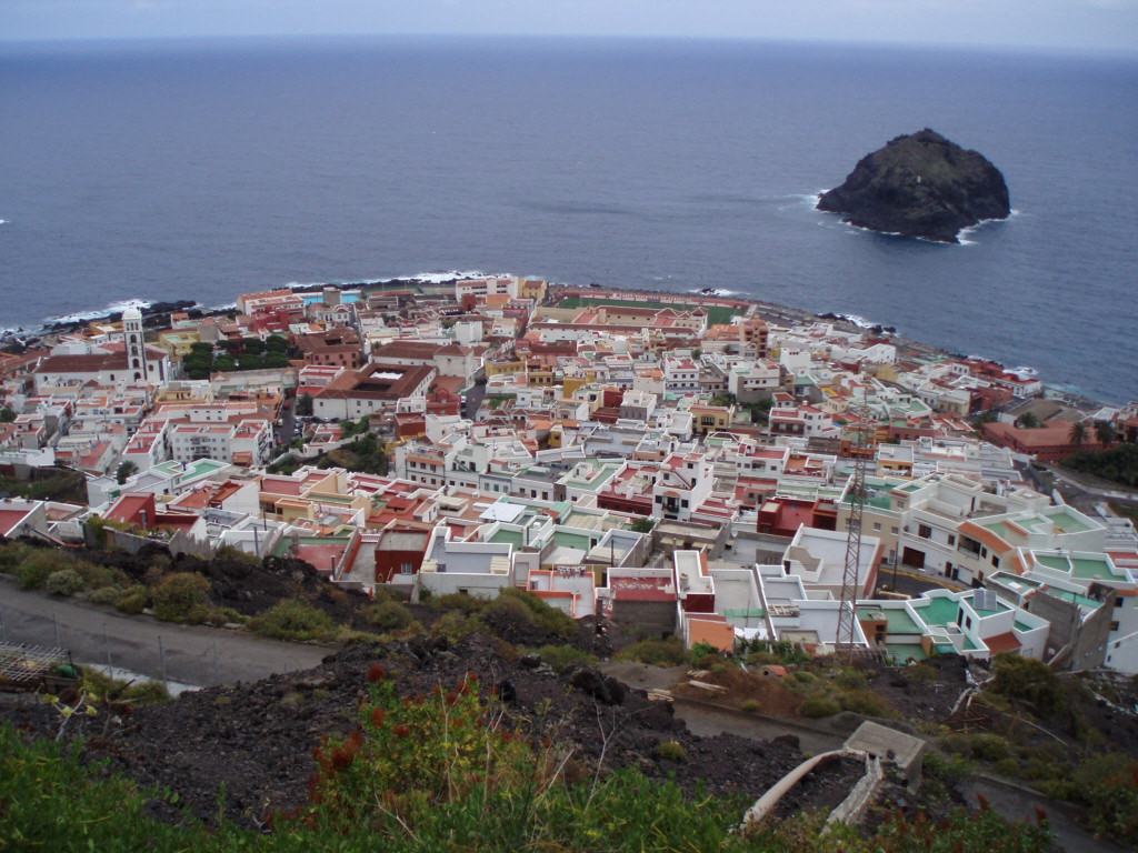
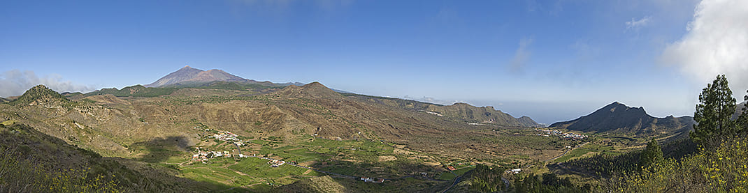
The route, which starts in Garachico, a town popular with tourists, offers you the opportunity to walk among volcanoes.
It climbs from Garachico along Camino de El Lance to San Juan del Reparo through lava flows that form a landscape of great geological interest.
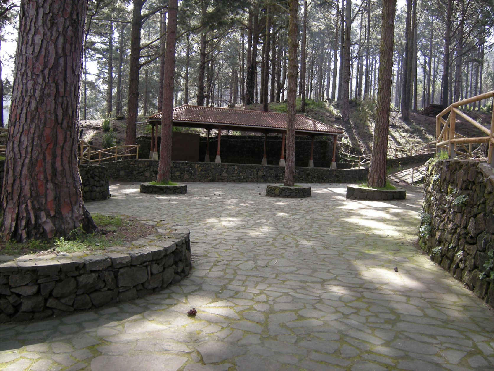
You will soon reach the village of La Montañeta and from there continue towards the Arenas Negras Recreational Area and Montaña de Las Flores.
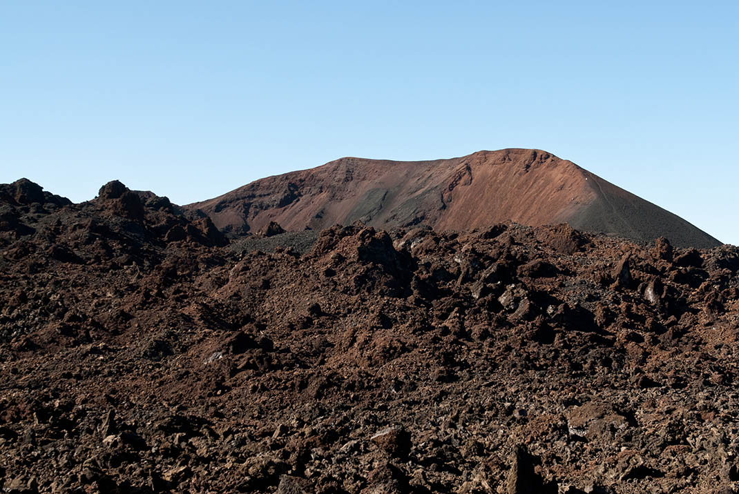
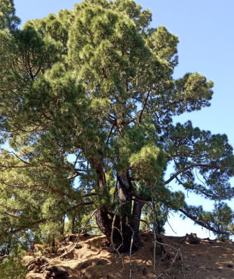
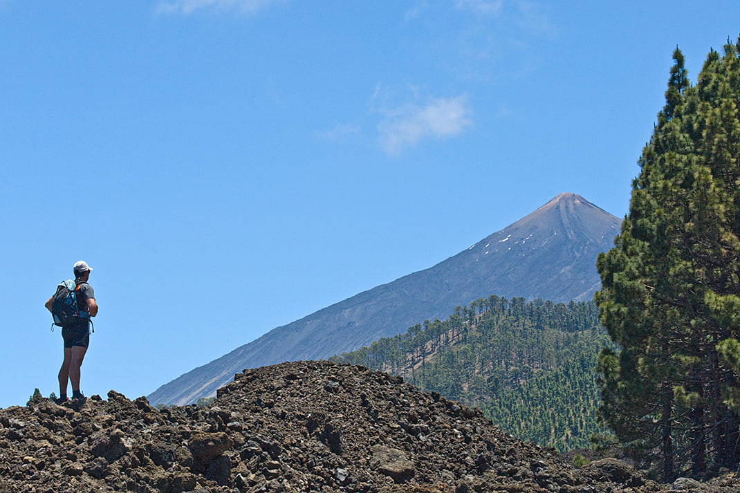
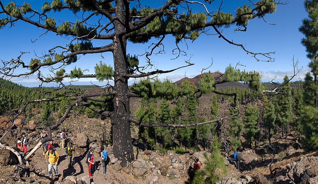
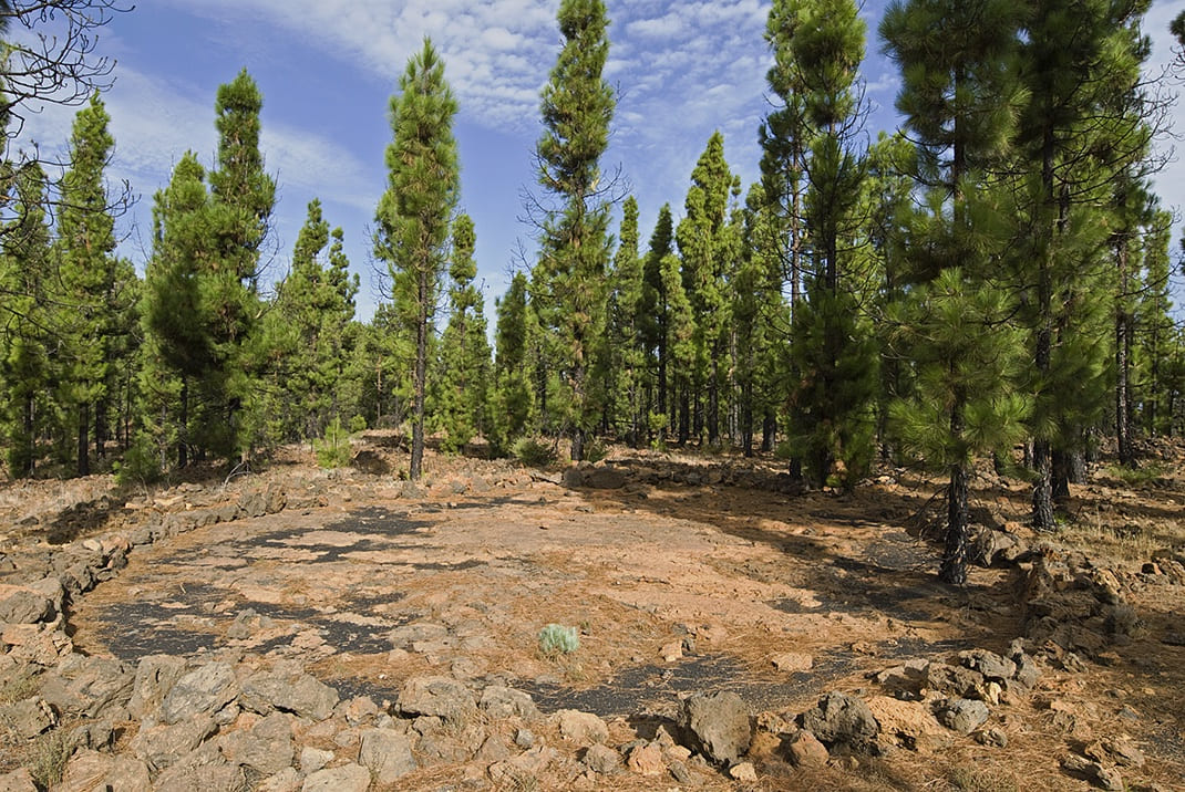
At this point a loop around the Chinyero Volcano begins, passing through lava flows and ancient pine trees such as Pino de Cha Lorenza, where you can enjoy a wonderful view of the south face of Chinyero.
Mountains such as La Corredera, Los Poleos or La Cruz will also feature along the route, as well as wide panoramic views of Mount Teide and Pico Viejo on clear days.
This trail begins with a steep and difficult ascent, so make sure you are in good enough physical shape to walk the entire route or, if not, consider the possibility of doing just a section of the walk.
Tips
- Always stay on the marked trail and do not enter private property, hunting grounds, water galleries, wells or caves.
- Pay special attention when crossing or walking along trails used by bicycles, horses or motor vehicles and when walking in ravines with water courses.
- Avoid direct encounters with potentially dangerous animals, such as livestock, beehives, and dogs.
- Proceed with caution and watch for obstacles, loose rocks, uneven terrain or steep slopes to avoid accidents and falls.
- Check out our guide to hiking in Tenerife and, if necessary, contact the emergency services by calling 112.
Guides
No data available