ePrivacy and GPDR Cookie Consent management by TermsFeed Privacy Policy and Consent Generator PNT 30 Los Valles

PNT 30 Los Valles

PNT-30

Teide National Park

Los Valles
Los Valles
Los Valles
Los Valles
Los Valles

Difficulty: Low

Description

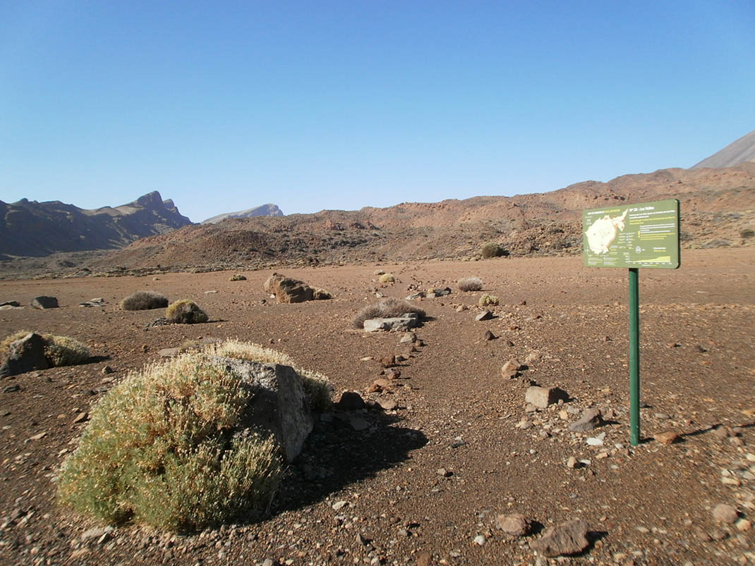
This easy trail descends from Las Minas de San José, in the centre of the National Park, to the foot of Risco Verde, in La Cañada de Las Pilas. 

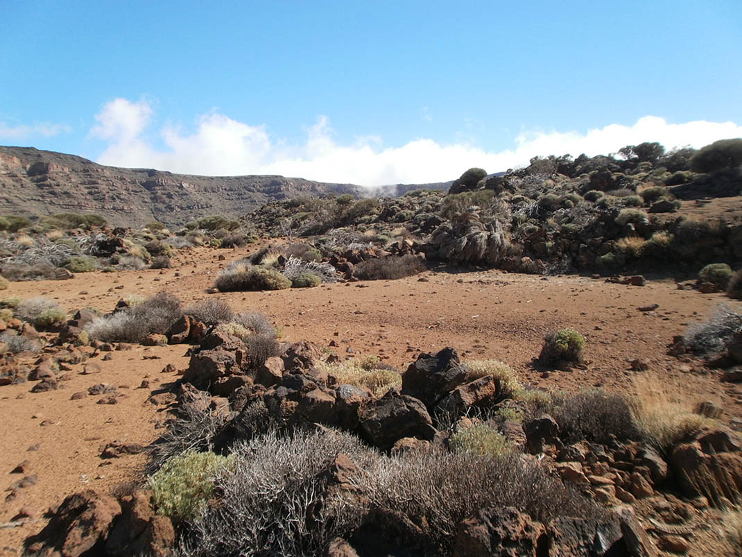
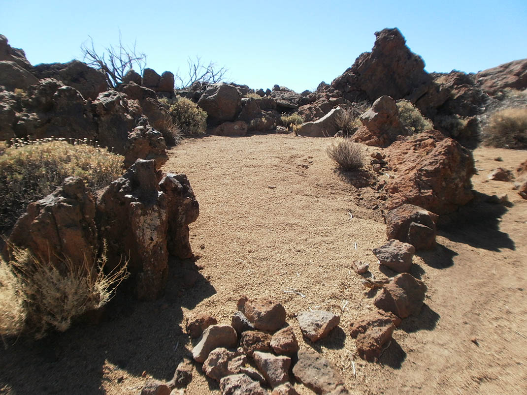
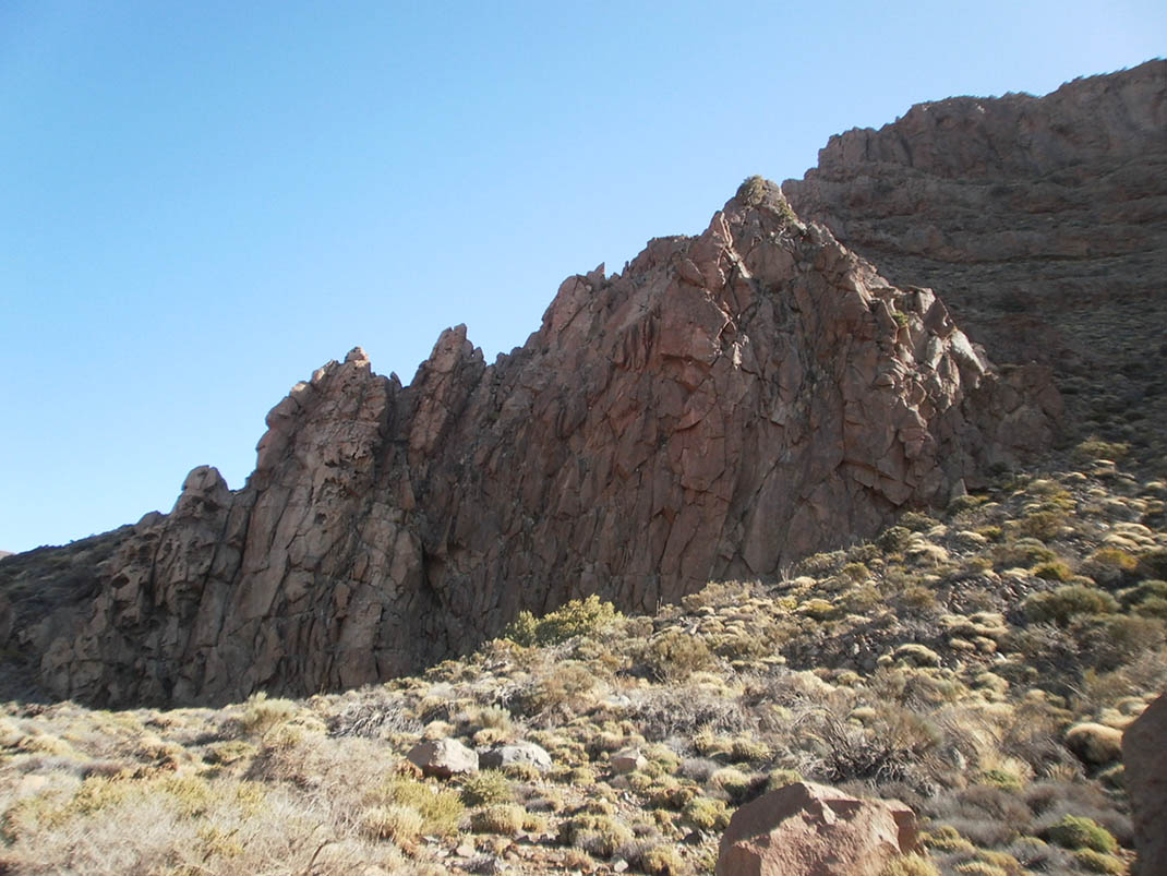
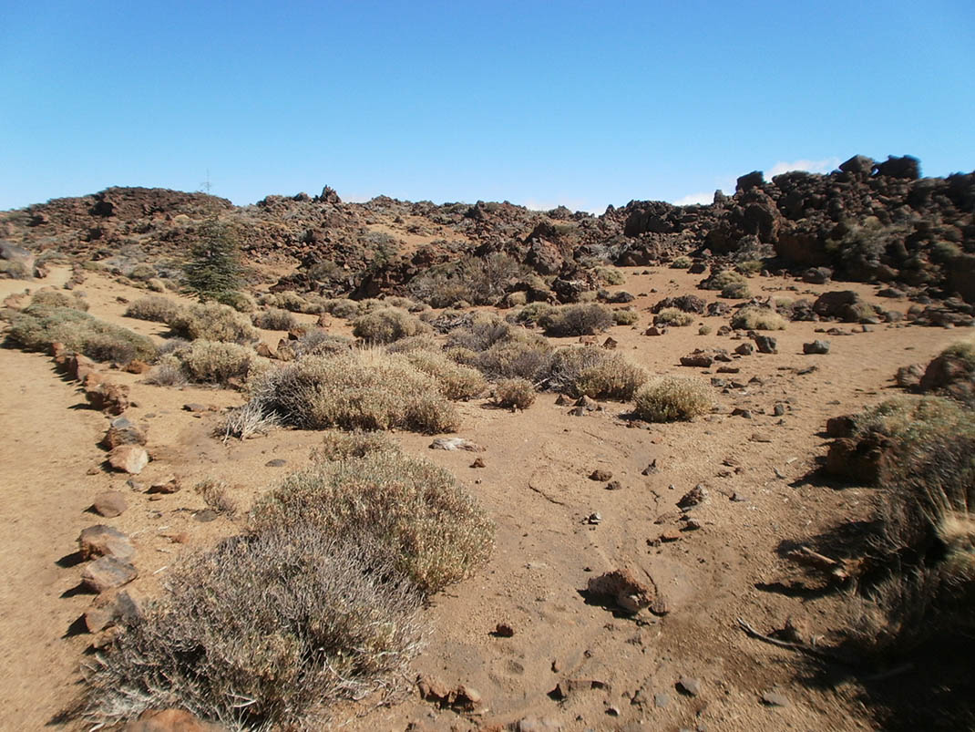
The first section of the route passes through an area where pumice stone was mined for several decades, and then begins the descent through Los Valles until it reaches La Cañada de Las Pilas, at the foot of the walls of the Las Cañadas caldera. 

Along the way you will see several of the most representative plant species of the high mountain scrubland of the Canary Islands, and some examples of the traditional uses this area was put to before it was declared a National Park, such as firewood from the broom that grows here.

Tips

  • Always stay on the marked trail and do not enter private property, hunting grounds, water galleries, wells or caves.
  • Pay special attention when crossing or walking along trails used by bicycles, horses or motor vehicles and when walking in ravines with water courses.
  • Avoid direct encounters with potentially dangerous animals, such as livestock, beehives, and dogs. 
  • Proceed with caution and watch for obstacles, loose rocks, uneven terrain or steep slopes to avoid accidents and falls. 
  • Check out our guide to hiking in Tenerife and, if necessary, contact the emergency services by calling 112.


Recommendations and tips

Permits

Free access for all visitors, no reservation required.

More information

Technical information sheet

Route information

Walking route

Tenerife ON

Linear

4,86 km

2 h 35 m

106,58 m

347,52 m

One way with fitness level 3/5

  • Altitude gain:106,58 m

  • Altitude loss:347,52 m

  • Maximum altitude:2.296,51 m

  • Minimum altitude:2.049,25 m

Signage

Route code

PNT-30

Signposts and waymarkers with the code of the trail on dark green panels.

Signage

Route map and profile

Elevation profile

Difficulty

Low *MIDE safe mountain criteria

  • Maximum altitude:2.296,51 m

  • Minimum altitude:2.049,25 m

Connections with other routes

How to get to route start point

Minas de San José viewpoint, Carretera de Las Cañadas del Teide (TF-21), km 38.6.

No service in the surrounding area.

Parking spaces at the viewpoint.

How to get to route end point

Cañada de Las Pilas.

End point only accessible on foot from trails PNT 04 (Siete Cañadas) and GR TF 131 (Anaga - Chasna).

End point only accessible on foot from trails PNT 04 (Siete Cañadas) and GR TF 131 (Anaga - Chasna).

Municipalities passed through

  • La Orotava

Protected Areas

Transit

Parque Nacional del Teide

The Teide National Park is the best exampleof the high-mountain landscape of the Canary Islands.  It is a breathtaking setting where you can learn about some of the most spectacular volcanic ...

Discover the Protected Area
Parque Nacional del Teide

Weather

Today, tuesday, in La Orotava


Clouds
Wind

2 km/h

Temperature

22ºC Maximum

17ºC Minimum

Rain

0%

3 day forecast

wednesday

23ºC Maximum

18ºC Minimum

thursday

23ºC Maximum

18ºC Minimum

friday

21ºC Maximum

16ºC Minimum