ePrivacy and GPDR Cookie Consent management by TermsFeed Privacy Policy and Consent Generator PR TF 86.6 Fuente del Llano

PR TF 86.6 Fuente del Llano

PR-TF 86.6

Difficulty: Low

Description

A gentle walk that branches off the main trail to offer you spectacular views of the Teide on clear days.
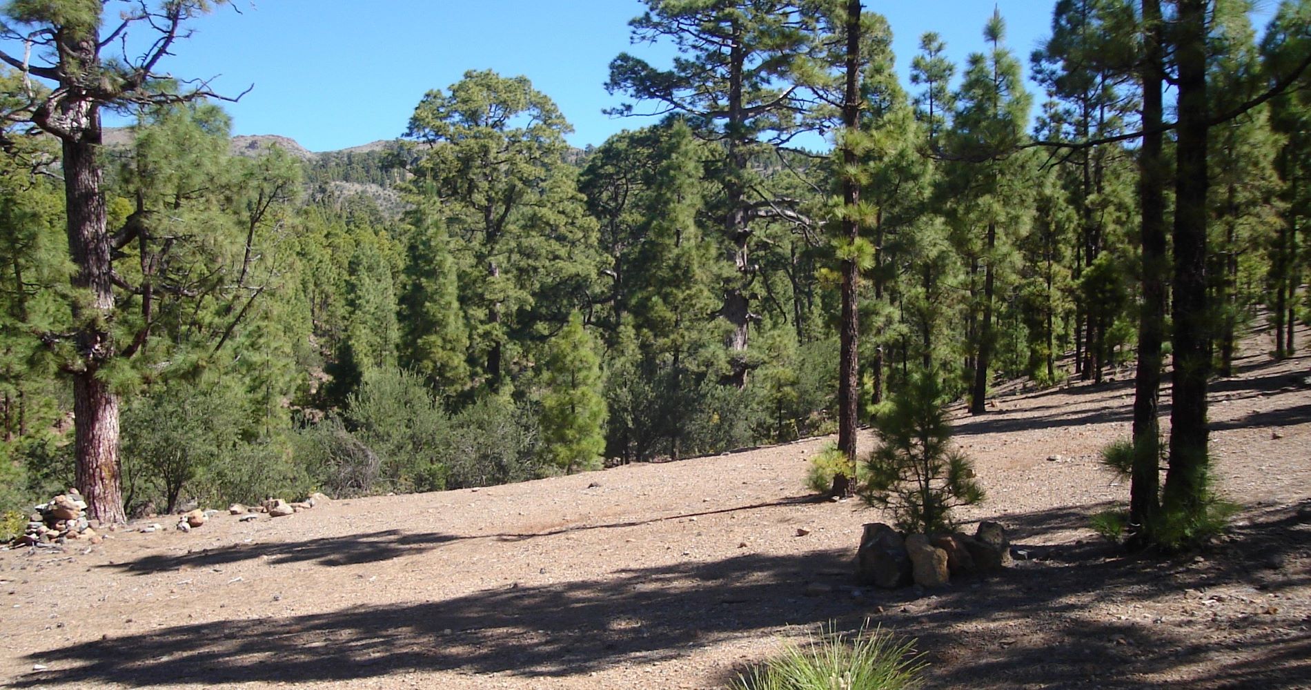
This spur trail of just 300 metres in length takes you from km 16 of the PR TF 86 trail (El Contador – Parador Nacional) to the Pista General de Arico, very close to the Fuente del Llano camping area, through the pine forest typical of the south of the island.

Tips

  • Always stay on the marked trail and do not enter private property, hunting grounds, water galleries, wells or caves. 
  • Pay special attention when crossing or walking along trails used by bicycles, horses or motor vehicles and when walking in ravines with water courses.
  • Avoid direct encounters with potentially dangerous animals, such as livestock, beehives, and dogs.
  • Proceed with caution and watch for obstacles, loose rocks, uneven terrain or steep slopes to avoid accidents and falls.
  • Check out our guide to hiking in Tenerife and, if necessary, contact the emergency services by calling 112.
Recommendations and tips

Guides

No data available

Permits

  • [TEMPORARY MEASURE] Free access without authorisation or reservation for natural or legal entities of a public or private nature, both non-profit (town councils, schools, associations, clubs, etc.) and for-profit (active tourism companies), until 31 December 2024 as established in the Resolution.
  • Free access for all other visitors, no reservation required.
  • Email for enquiries - This email address is being protected from spambots. You need JavaScript enabled to view it.
More information

Technical information sheet

Route information

Walking route

Tenerife ON

Linear

0,45 km

0 h 25 m

34,53 m

22,08 m

One way with fitness level 3/5

  • Altitude gain:34,53 m

  • Altitude loss:22,08 m

  • Maximum altitude:1.774,39 m

  • Minimum altitude:1.753,47 m

Signage

Route code

PR-TF 86.6

Posts and signs displaying the PR code and yellow and white marks.

Signage

Route map and profile

Elevation profile

Difficulty

Low *MIDE safe mountain criteria

  • Maximum altitude:1.774,39 m

  • Minimum altitude:1.753,47 m

Connections with other routes

How to get to route start point

Sendero PR-TF-86 El Contador - Parador Nacional.

Trailhead only accessible on foot from the PR TF 86 trail (El Contador – Parador Nacional).

Trailhead only accessible on foot from the PR TF 86 trail (El Contador – Parador Nacional).

How to get to route end point

To the south of Montaña Bermeja, Pista General de Arico.

No service in the surrounding area.

Campsite difficult to reach by forest track, with limited access for certain vehicles. 

Municipalities passed through

  • Arico

Protected Areas

Transit

Parque Natural de la Corona Forestal

The Corona Forestal is the largest protected natural area in the Canary Islands, one of the most extensive forests on the islands, the lungs of Tenerife and the gateway to Mount Teide.  As its name ...

Discover the Protected Area
Parque Natural de Corona Forestal

Weather

Today, monday, in Arico


Clouds
Wind

10 km/h

Temperature

19ºC Maximum

12ºC Minimum

Rain

0%

3 day forecast

tuesday

18ºC Maximum

13ºC Minimum

wednesday

20ºC Maximum

15ºC Minimum

thursday

20ºC Maximum

15ºC Minimum