ePrivacy and GPDR Cookie Consent management by TermsFeed Privacy Policy and Consent Generator BC-4 Pinares del Sur and Volcanes Negros

BC-4 Pinares del Sur and Volcanes Negros

BC-4

Southern side of the island, from the El Contador Recreational Area to the area of Volcanes Negros.

Pinares de sur y volcanes negros

Description

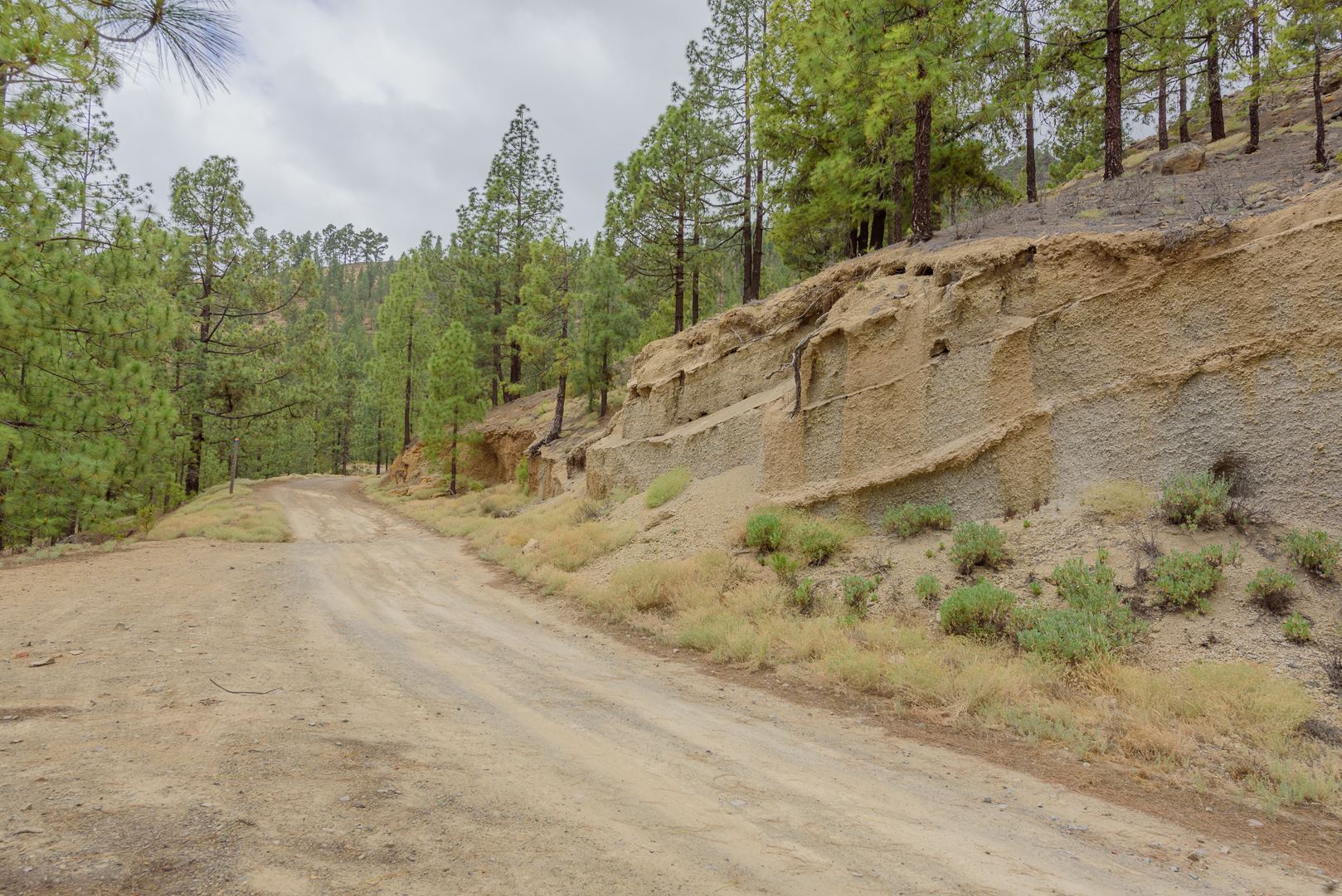
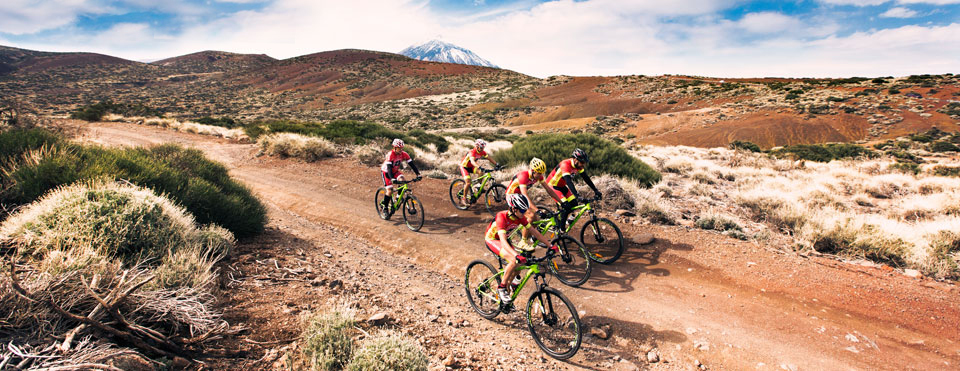
This route takes you through the typical Canary Island pine forest of the south of the island as you cross through colourful ravines on the way up to the volcanic uplands of Mount Teide. 

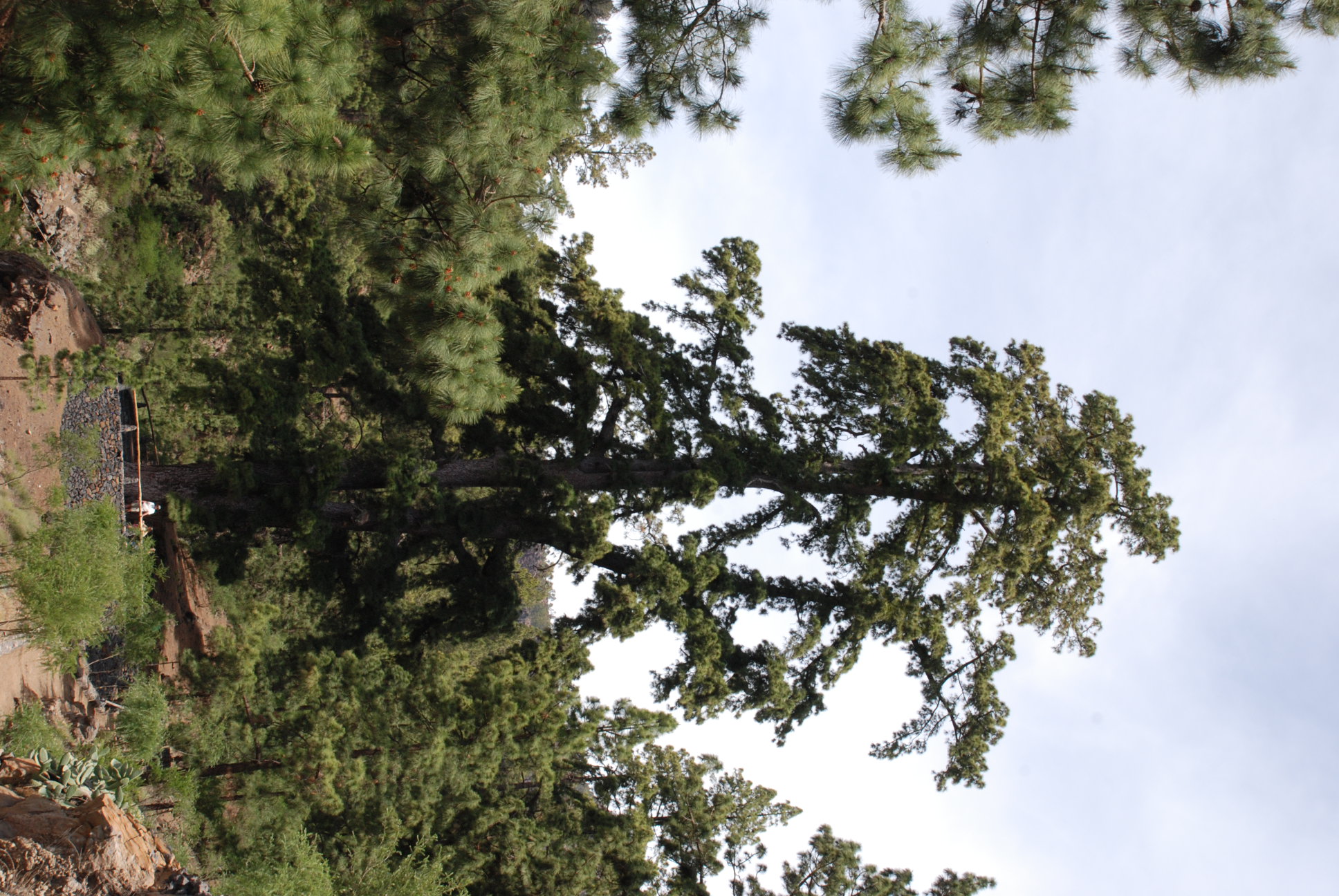
As you will discover along the General de Arico trail, the pine forests in the south of Tenerife are more open than those in the north, and their undergrowth is less rich in species. However, you will be surprised by the sheer size of some of the pine trees in this area, emerging like giants from the forest mass. 

Above the pine forest you will find mountain flora mostly comprising species found only in the Canary Islands, such as the rosalillo de cumbre (Pterocephalus lasiospermus), the alhelí (Erysimum scoparium), Teide white broom (Spartocytisus supranubius) and flixweed (Descurainia bourgaeana). 

But what stand out most in the area are the varieties of Echium, known locally as tajinaste: the tajinaste rojo (Echium wildpretii), also known as “the pride of Tenerife” which blossoms into a large, unique and striking tower of red flowers; and the tajinaste picante (Echium auberianum), with an impressive blue flower spike. Together they cover this area with a blanket of bright colours every springtime.

IBP Index: 58.

Tips

  • Always stay on the marked trail and do not enter private property, hunting grounds, water galleries, wells or caves.  
  • Be careful when walking along roads used by motor vehicles and hiking trails, and when crossing ravines with water courses.
  • Avoid direct encounters with potentially dangerous animals, such as livestock, beehives, and dogs. 
  • Proceed with caution and watch for obstacles, loose rocks, uneven terrain or steep slopes to avoid accidents and falls. 
  •  Consult our good practice guide and, if necessary, contact emergency services by calling 112.
Recommendations and tips

Guides

No data available

Permits

  • Reservation obligatory for groups organised by for-profit and not-for-profit public and private entities and profit-making individuals. Link
  • T: 901 501 901, 922 239 500.
  • Free access for all other users, alone or in a group, no reservation required.

Technical information sheet

Route information

Cycling and horse riding route

Tenerife ON

Linear

15,37 km

1 h 10 m

1.105,01 m

389,44 m

At an average speed of 14 km/h

  • Altitude gain:1.105,01 m

  • Altitude loss:389,44 m

  • Maximum altitude:1.963,56 m

  • Minimum altitude:1.248,00 m

Signage

Route code

BC-4

Orange posts and signs that include:

  • Official trail number.
  • Route direction.
  • Distance to points of interest.
  • Cyclist and horserider icons.
Signage

Route map and profile

Elevation profile

  • Maximum altitude:1.963,56 m

  • Minimum altitude:1.248,00 m

Connections with other routes

How to get to route start point

Pista General de Arico.

No nearby service.

No parking spaces in the area.

How to get to route end point

El Contador Recreational Area, La Era del Contador, Arico.

No nearby service.

Limited parking spaces in the El Contador Recreational Area.

Municipalities passed through

  • Arico

Protected Areas

Transit

Parque Natural de la Corona Forestal

The Corona Forestal is the largest protected natural area in the Canary Islands, one of the most extensive forests on the islands, the lungs of Tenerife and the gateway to Mount Teide.  As its name ...

Discover the Protected Area
Parque Natural de Corona Forestal

Weather

Today, monday, in Arico


Clouds
Wind

10 km/h

Temperature

19ºC Maximum

12ºC Minimum

Rain

0%

3 day forecast

tuesday

18ºC Maximum

13ºC Minimum

wednesday

20ºC Maximum

15ºC Minimum

thursday

20ºC Maximum

15ºC Minimum

Places of interest

These are some of the points of interest you can find along this route.

Pino_Gordo
Monumental tree

Pino Gordo

The trunk of this pine tree forks at a height of 130 cm and has been used for signs indicating...