ePrivacy and GPDR Cookie Consent management by TermsFeed Privacy Policy and Consent Generator Erjos – Monte del Agua Self-guided Trail

Erjos – Monte del Agua Self-guided Trail

Macizo de Teno

Difficulty: Low

Description

Take a walk around Erjos to learn about its history and the values that define it today. The walk follows an out-and-back, low-difficulty route.

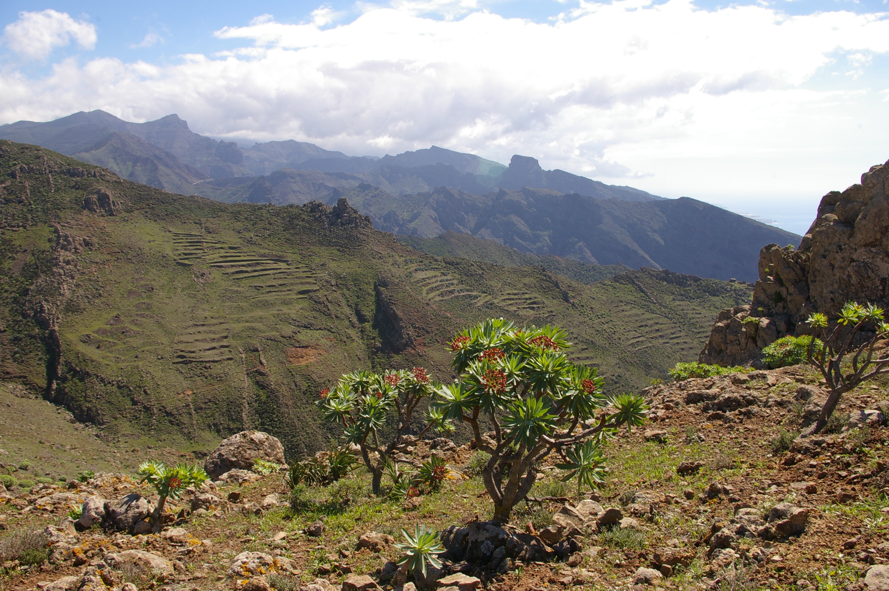
It starts in Plaza Nueva and winds its way between houses and farmland. It then climbs upwards to reach Monte del Agua, where both the landscape and the climate will change radically, as will your sensations.

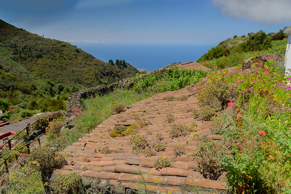
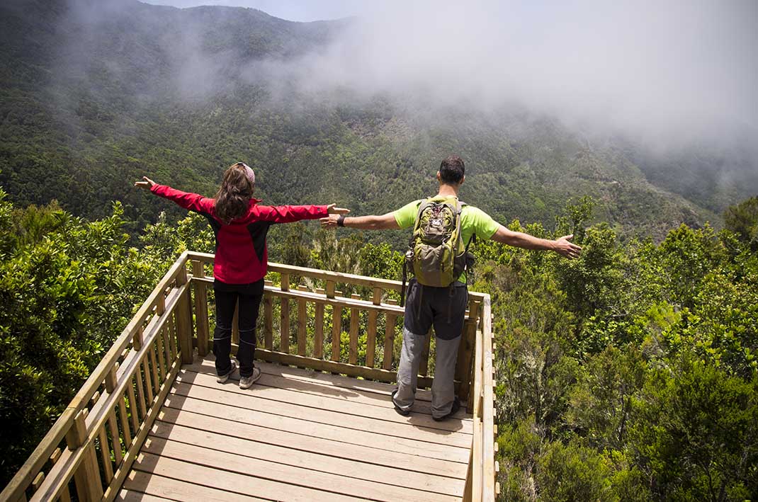
This last section runs along an accessible path. After a few more minutes, you will reach the last stop, a viewpoint overlooking Monte del Agua.

Tips

  • Always stay on the marked trail and do not enter private property, hunting grounds, water galleries, wells or caves. 
  • Pay special attention when crossing or walking along trails used by bicycles, horses or motor vehicles and when walking in ravines with water courses.
  • Avoid direct encounters with potentially dangerous animals, such as livestock, beehives, and dogs. 
  • Proceed with caution and watch for obstacles, loose rocks, uneven terrain or steep slopes to avoid accidents and falls.
  • Check out our guide to hiking in Tenerife and, if necessary, contact the emergency services by calling 112.
Recommendations and tips

Guides

Bouchure.

Permits

  • [TEMPORARY MEASURE] Free access without authorisation or reservation for natural or legal entities of a public or private nature, both non-profit (town councils, schools, associations, clubs, etc.) and for-profit (active tourism companies), until 31 December 2026 as established in the Resolution.
  • Free access for all other visitors, no reservation required.
  • Email for enquiries - This email address is being protected from spambots. You need JavaScript enabled to view it.
More information

Technical information sheet

Route information

Walking route

Check your fitness level

Tenerife ON

Linear

1,34 km

0 h 30 m *

  • Altitude gain:134,33 m

  • Altitude loss:126,54 m

  • Maximum altitude:1.042,03 m

  • Minimum altitude:980,66 m

Signage

Numbered signs with QR codes linking to the self-guided content.

Signage

Route map and profile

Elevation profile

Difficulty

Low *MIDE safe mountain criteria

  • Maximum altitude:1.042,03 m

  • Minimum altitude:980,66 m

Connections with other routes

How to get to route start point

Plaza Grande de Erjos, Avenida Simón Bolívar 1.

Bus lines 325, 392, and 460. Bus stop code: Erjos 4668. TITSA.

Limited parking available in the urban area.

How to get to route end point

Monte del Agua Viewpoint.

Only accessible on foot.

Only accessible on foot.

Municipalities passed through

  • El Tanque
  • Los Silos

Protected Areas

Transit

Parque Rural de Teno

Teno Rural Park is located in north-west Tenerife, in one of the first parts of the island to emerge from the sea, containing materials that are between 6 and 7 million years old.  Erosion has ...

Discover the Protected Area
Parque Rural de Teno

Weather

Today, saturday, in Los Silos


Clear skies
Wind

22 km/h

Temperature

28ºC Maximum

28ºC Minimum

Rain

0%

3 day forecast

sunday

36ºC Maximum

23ºC Minimum

monday

35ºC Maximum

23ºC Minimum

tuesday

34ºC Maximum

21ºC Minimum

Places of interest

These are some of the points of interest you can find along this route.

Caserio de Erjos
Hamlet

Erjos

Village located 14 kilometres from the centre of Los Silos. Given over mainly to agriculture and...