ePrivacy and GPDR Cookie Consent management by TermsFeed Privacy Policy and Consent Generator BC-2 Monte de La Esperanza

BC-2 Monte de La Esperanza

BC-2

Monte de la Esperanza, connects the area of Las Lagunetas with the Las Raíces Recreational Area.

Incident Incident

Route temporarily closed - Warnings (fire, wind, etc.)

Itinerario cerrado debido al incendio forestal del verano de 2023

Monte de La Esperanza

Description

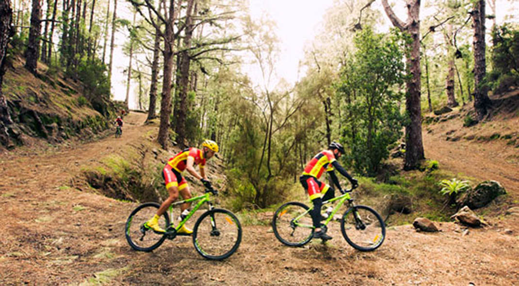
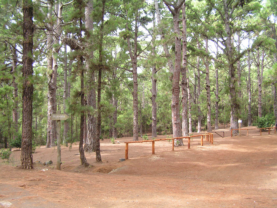
Given its proximity to urban centres, this route through pine forests and monteverde has become a popular natural spot. 

It follows the El Bailadero, Los Ovejeros and Escuela Hogar trails, part of the ancient “caminos reales” (“royal roads” or main island routes), built in the past to improve communications between the villages on the island. 

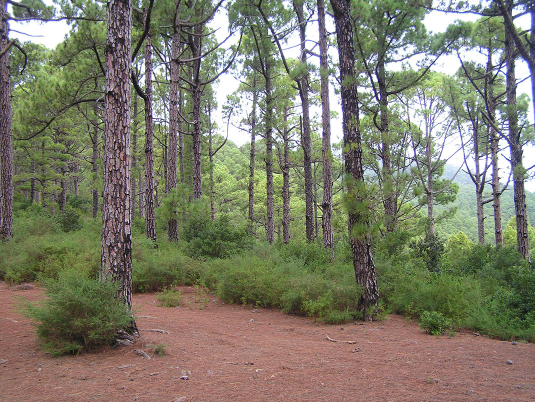
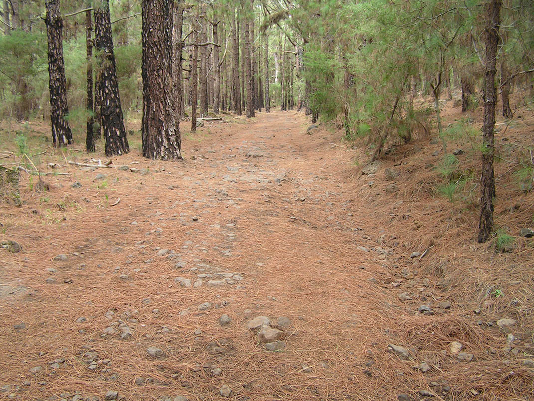
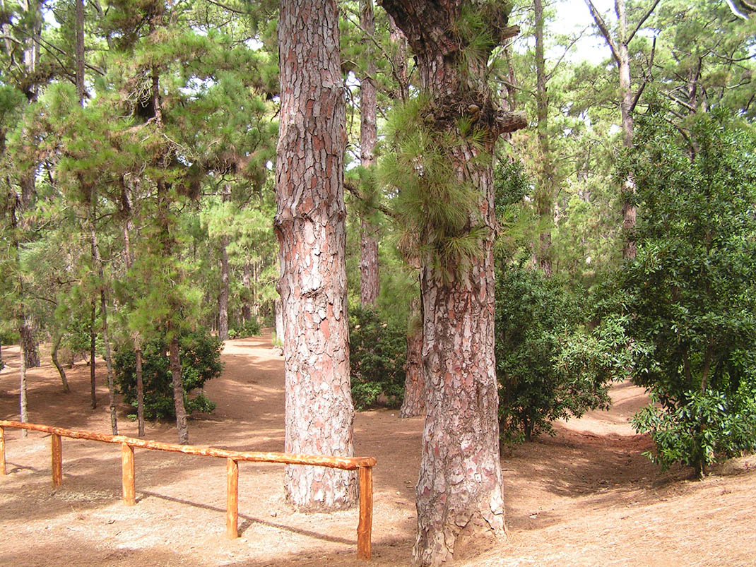
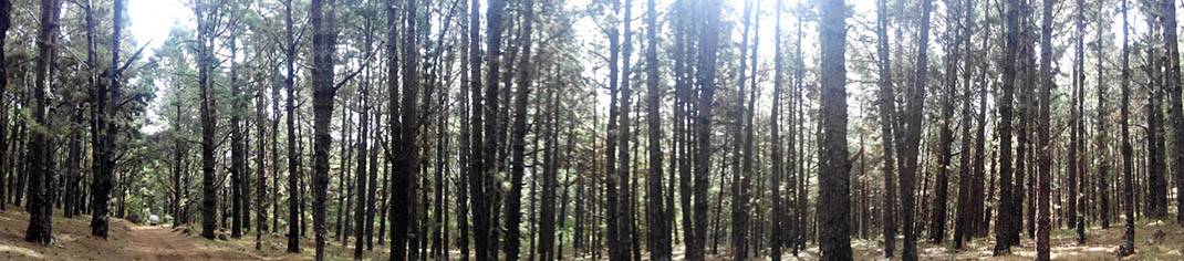
Among the Canary Island pine forests that predominate along the route, you will find some large specimens mixed with areas undergoing regeneration after the great fire that devastated this area in 1995. Even today, some of the pine trees bear witness to the fire with their bark charred black. 

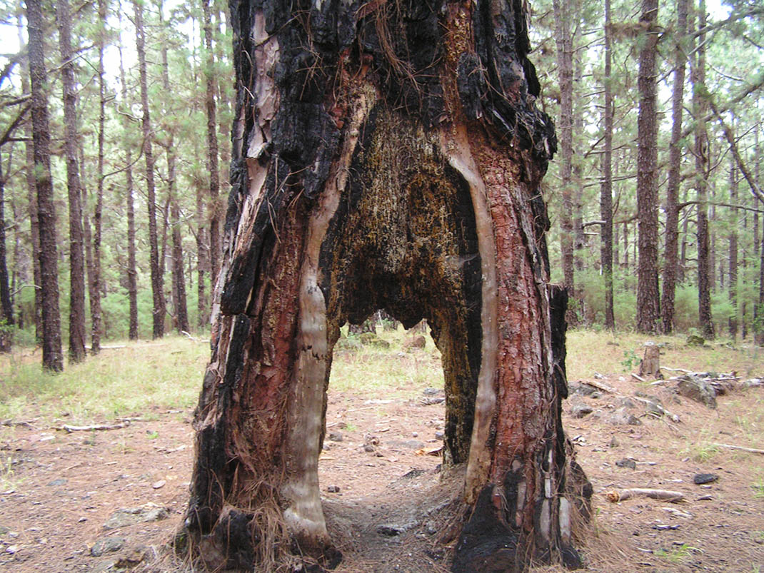
One curiosity along this path is the “Pino de la Catadura”, a pine tree with a huge hole in its trunk, dating from the time in which the resin from these trees was extracted and applied to boats to make them waterproof. 

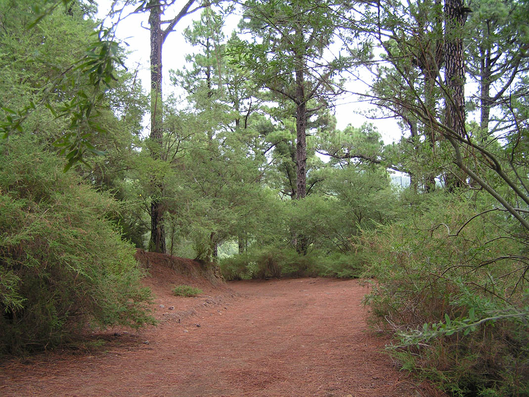
In the undergrowth you will find tree heath (Erica arborea), fayas (Morella faya), escobones (Chamaecytisus proliferus) and codesos (Adenocarpus viscosus); and after the first autumn rains you can even gather mushrooms, an increasingly popular activity in recent years. If you look carefully, you will also see large piles of pine needles which are used as bedding for livestock.

IBP Index: 28.

Tips

  • Always stay on the marked trail and do not enter private property, hunting grounds, water galleries, wells or caves.  
  • Be careful when walking along roads used by motor vehicles and hiking trails, and when crossing ravines with water courses.
  • Avoid direct encounters with potentially dangerous animals, such as livestock, beehives, and dogs. 
  • Proceed with caution and watch for obstacles, loose rocks, uneven terrain or steep slopes to avoid accidents and falls. 
  • Consult our good practice guide and, if necessary, contact emergency services by calling 112.
Recommendations and tips

Guides

No data available

Permits

  • Reservation obligatory for groups organised by for-profit and not-for-profit public and private entities and profit-making individuals. Link
  • T: 901 501 901 - 922 239 500.
  • Free access for all other users, alone or in a group, no reservation required.

Technical information sheet

Route information

Cycling and horse riding route

Tenerife ON

Linear

6,28 km

0 h 30 m

524,14 m

148,19 m

At an average speed of 14 km/h

  • Altitude gain:524,14 m

  • Altitude loss:148,19 m

  • Maximum altitude:1.416,73 m

  • Minimum altitude:1.033,03 m

Signage

Route code

BC-2

Orange posts and signs that include:

  • Official trail number.
  • Route direction.
  • Distance to points of interest.
  • Cyclist and horserider icons.
Signage

Route map and profile

Elevation profile

  • Maximum altitude:1.416,73 m

  • Minimum altitude:1.033,03 m

Connections with other routes

How to get to route start point

Las Raíces Camping Area, Carretera General TF-276, El Rosario.

Bus stop 1 km from the Las Raices Recreational Area (privately run route between La Laguna and La Esperanza, Transportes La Esperanza, 922548080).

Limited parking spaces in the Las Raíces Camping Area.

How to get to route end point

End of the Fayal trail, Carretera General de La Esperanza (TF-24), km 16.5, Las Lagunetas, El Rosario.

Bus stop 800 m from this point (privately run route between La Laguna and La Esperanza, Transportes La Esperanza: 922 548 080).

Parking spaces available in the centre of Las Lagunetas.

Municipalities passed through

  • Candelaria
  • El Rosario

Protected Areas

Transit

Paisaje Protegido de Las Lagunetas

The Las Lagunetas Protected Landscape is situated on the north side of the Pedro Gil ridge, in the north-east of Tenerife.  This ridge was formed over the course of numerous phases of eruption less ...

Discover the Protected Area
Paisaje Protegido de Las Lagunetas

Weather

Today, friday, in El Rosario


Clouds
Wind

6 km/h

Temperature

14ºC Maximum

11ºC Minimum

Rain

0%

3 day forecast

saturday

13ºC Maximum

10ºC Minimum

sunday

12ºC Maximum

10ºC Minimum

monday

12ºC Maximum

11ºC Minimum